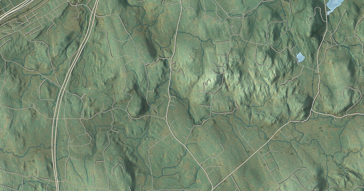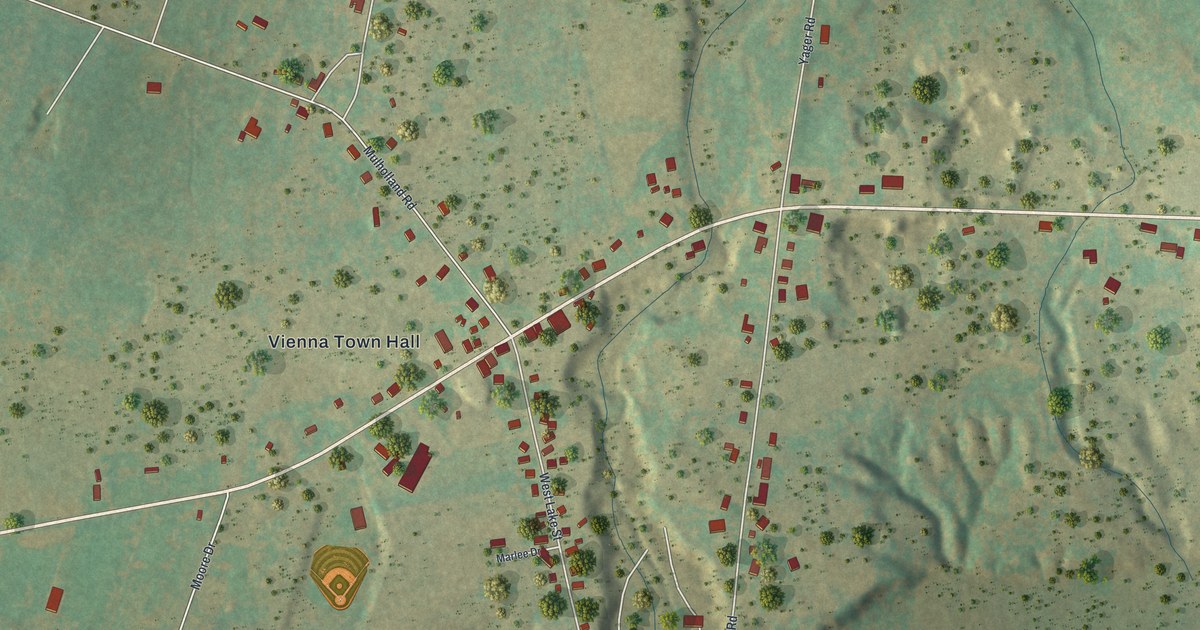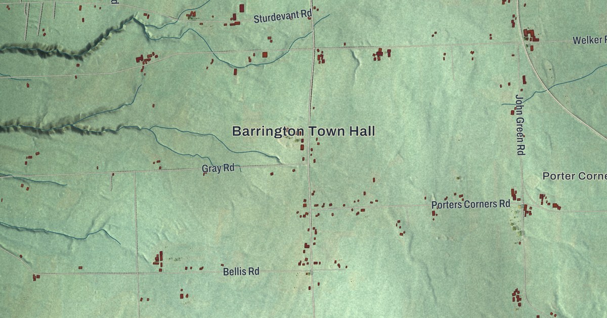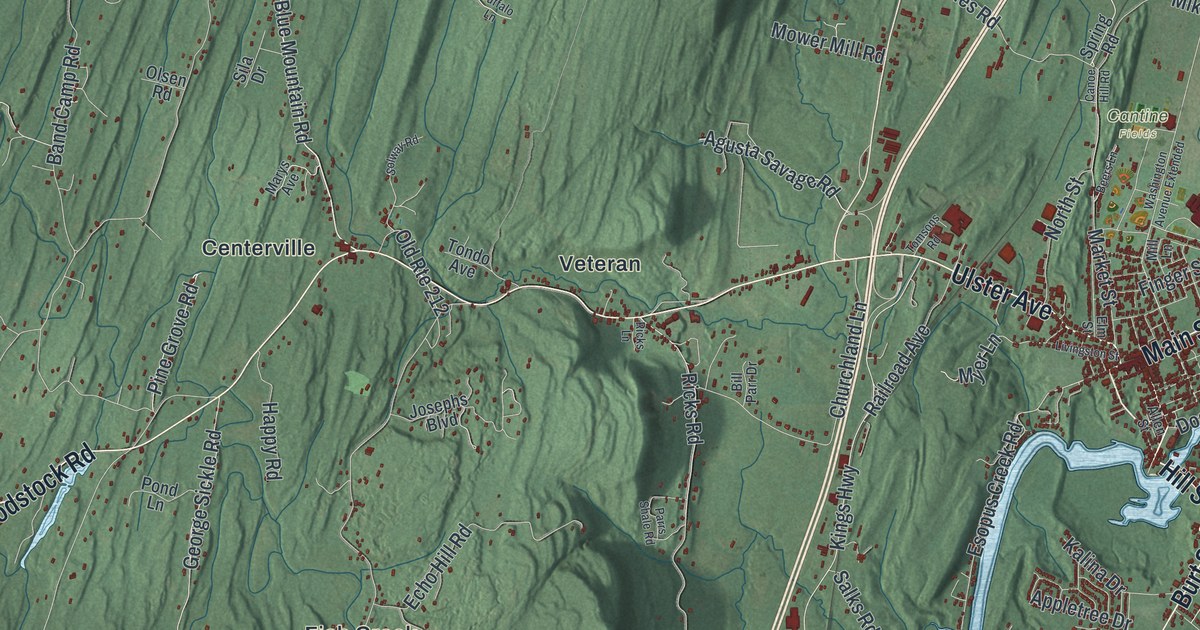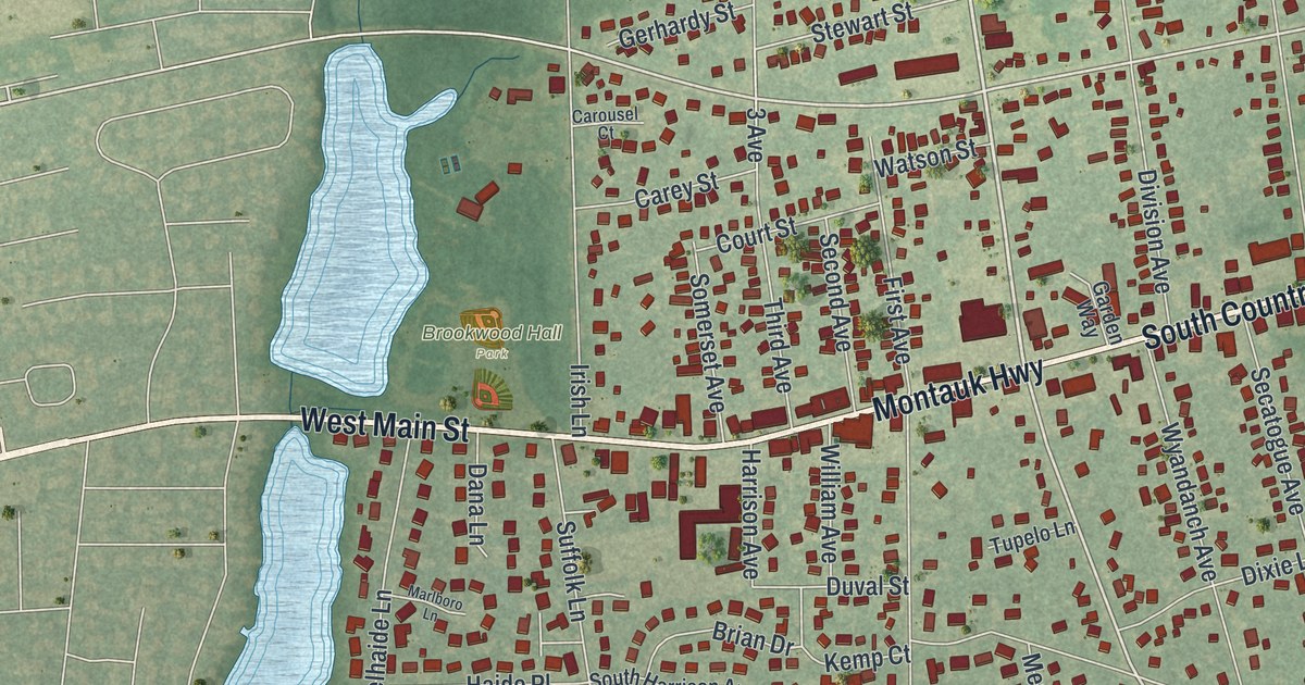
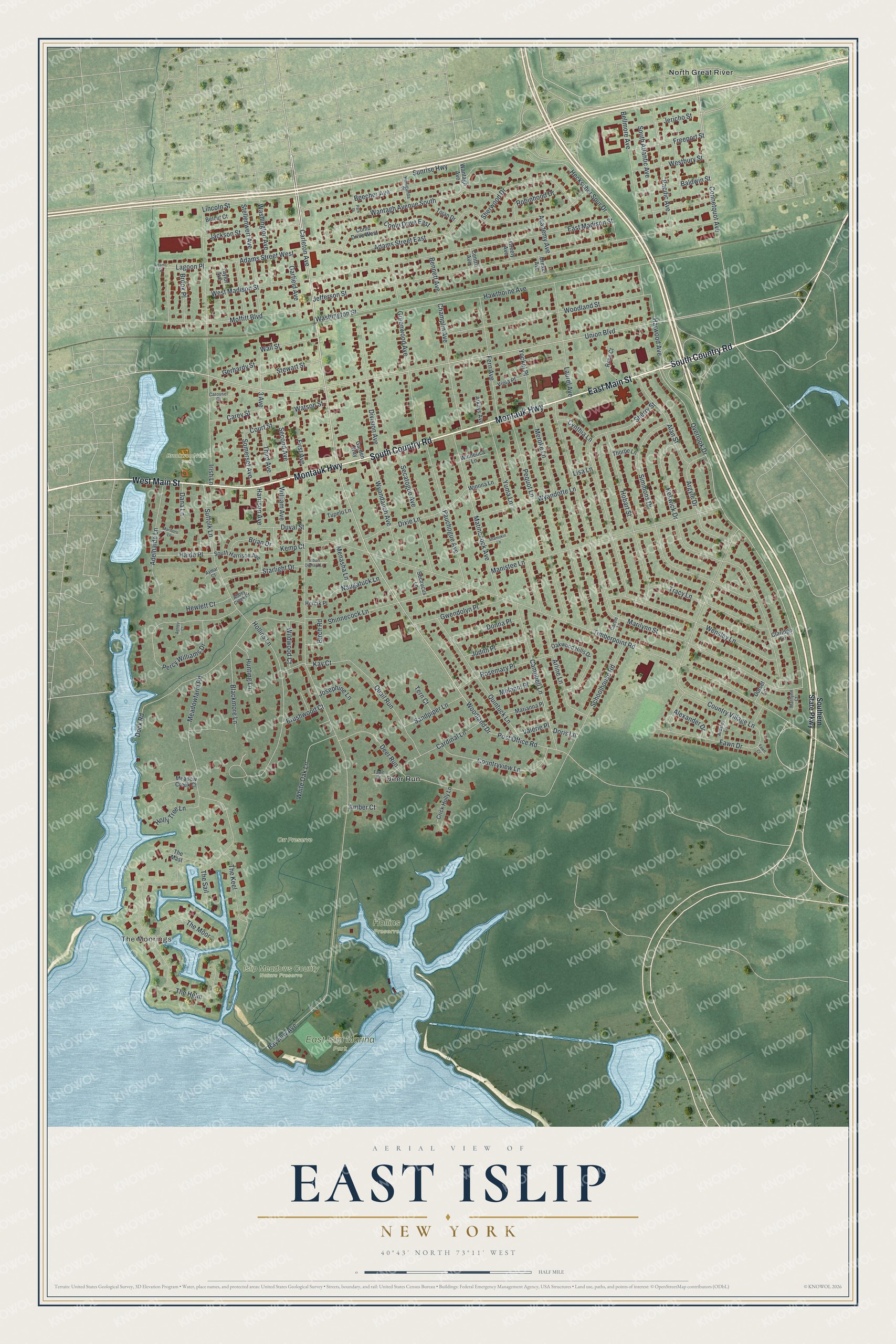
This beautifully detailed map of East Islip, New York was created in 2026 using aerial imagery combined with modern topographical, census, street and landmark data. It’s a one-of-a-kind view of East Islip that combines accurate data with a vintage aesthetic. The map shows every building in its true location, many of the roads carry their names, and the shaded topographic relief shows the shape of the land.
Explore an aerial view of East Islip, New York
On the map you’ll find The Moorings, Deer Run, North Great River, Brookwood Hall Park, East Islip Marina Park, Hollins Preserve, and Islip Meadows County Nature Preserve, along with Country Road, Main Street, Montauk Highway, Southern State Parkway, Carleton Avenue, and more. If you look closely you can even find your house accurately drawn in its correct location. Zoom in on the preview to look for yours.
Did You Know?
In 1683 an English aristocrat named William Nicoll bought about 51,000 acres here from the Secatogue Indians. His land stretched east to Bayport, west to Babylon and north to Ronkonkoma. He built a family mansion called Islip Grange near the shore, close to today’s Heckscher State Park.
Take a closer look at the East Islip map
Names on this map
These names are printed on this map.
Places: The Moorings, Brookwood Hall Park, East Islip Marina Park, Hollins Preserve, Islip Meadows County Nature Preserve, Orr Preserve, Deer Run and North Great River.
Streets and roads: South Country Road, West Main Street, Montauk Highway, East Main Street, Carleton Avenue, Woodland Drive, Union Boulevard, Overlook Drive, Stewart Street, 3 Avenue, Connetquot Avenue, Kay Court.
More street names, A to Z
Abbey Creek Court, Academy Avenue, Adams Street, Adams Street East, Adams Street West, Adelhaide Lane, Alan Street, Alexander Drive, Amber Court, Ardsley Lane, Argyle Drive, Arkays Avenue, Arline Lane, Ashley Court, Aymar Court, Baldwin Street, Bayview Avenue, Beecher Avenue, Belcut Court, Bellmore Avenue, Bennett Avenue, Birch Road, Blackmore Lane, Brian Drive, Brook Place, Brushwood Court, Campbell Lane, Cardinal Lane, Carey Street, Carole Lane, Carousel Court, Centre Avenue, Champlin Avenue, Claridge Lane, Conlu Drive East, Conlu Drive West, Countryview Lane, Country Village Lane, Court Street, Crick Holly Lane, Cynthia Lane, Dana Lane, Division Avenue, Dixie Lane, Dock Road, Donna Place, Doris Lane, Dorset Lane, Drexel Avenue, Duval Street, East Madison Street, Fawn Court, Fawn Drive, Fawn Lane, Fern Avenue, First Avenue, Freeport Street, Garden Way, Garfield Avenue, Gerhardy Street, Greely Avenue, Greenwood Avenue, Gwendolyn Place, Haide Place, Harrison Avenue, Harwood Avenue, Hawthorne Avenue, Heckscher Spur Drive, Hercik Place, Hewlett Court, Hobart Street, Hollins Lane, Holly Tree Lane, Hunting Lane, Indian Orchard Lane, Irish Lane, Jackson Street, Jefferson Street, Jericho Street, Josephine Lane, Judith Place, Kemp Court, Keswick Drive, Kunigunda Place, Lagoon Place, Laurel Avenue, Lincoln Street, Lisa Lane, Manistee Lane, Marianna Place, Marilynn Court, Marilynn Street, Marlboro Lane, Matinecock Avenue, Meadow Creek Court, Meadowfarm Road, Melanni Place, Menasha Lane, Meroke Lane, Moffitt Boulevard, Naugatuck Lane, Oakwood Hills Drive, Pacific Avenue, Park Place, Pauchogue Avenue, Pequot Lane, Percy Williams Drive, Post Office Road, Quail Run, Quintuck Lane, Robinhood Drive, Rose Court, Rosemary Place, Sandpiper Lane, Schoolhouse Road, Secatogue Avenue, Secaucus Lane, Second Avenue, Shamokin Lane, Sherry Street, Sherwood Drive, Shinnecock Lane, Simmons Drive, Somerset Avenue, South Atlantic Avenue, Southern State Parkway, South Harrison Avenue, Starlight Drive, Stellenwerf Avenue, Suffolk Lane, Sunrise Highway, Taylor Avenue, Tern Court, The Helm, The Keel, The Mast, The Moor, The Sail, Third Avenue, Thorpe Lane, Timberpoint Road, Tojan Drive, Tracy Lane, Tupelo Lane, Valerie Place, Viola Place, Wall Street, Wantagh Avenue, Wantagh Avenue South, Washington Avenue, Washington Street, Watson Street, Wensley Lane, Westbury Street, West Madison Street, White Oak Lane, Wildwood Court, William Avenue, Winnetica Lane, Winona Lane, Woodland Street, Wyandanch Avenue, Wyandotte Lane, Yockel Place, Yuma Lane.
See it on a wall
The East Islip map as a framed print. Swipe for more.


This beautifully detailed map of East Islip makes an attractive addition to your office, library, or den, and it can even be used to teach children the geography and history of the area. It also makes a great gift for anyone who grew up in East Islip or moved away. When you’re done exploring, click here to get your copy of the East Islip map.