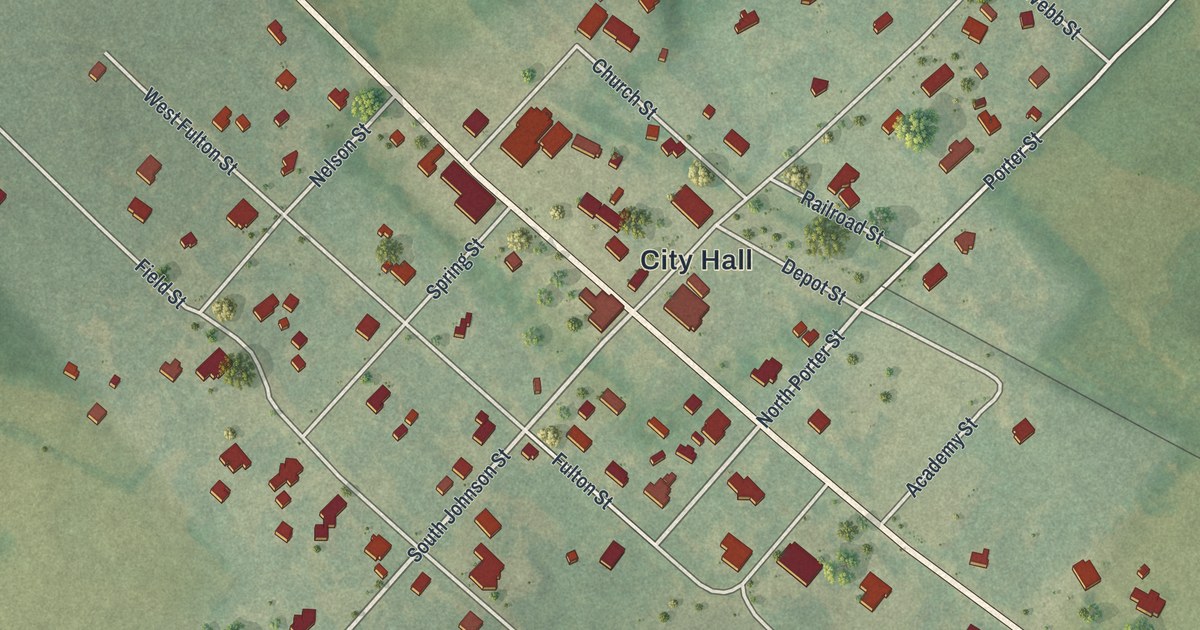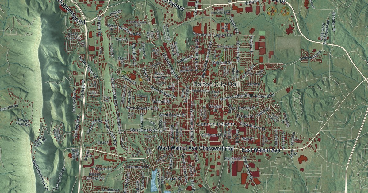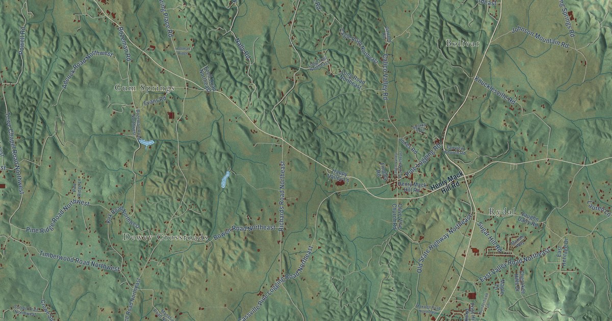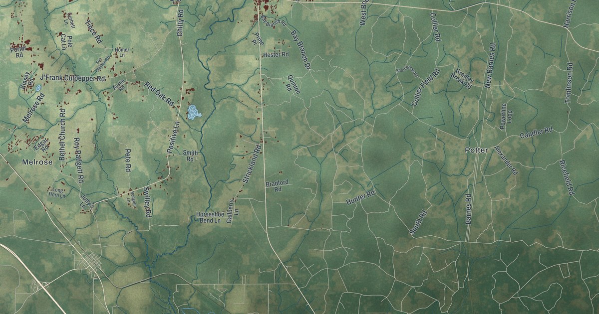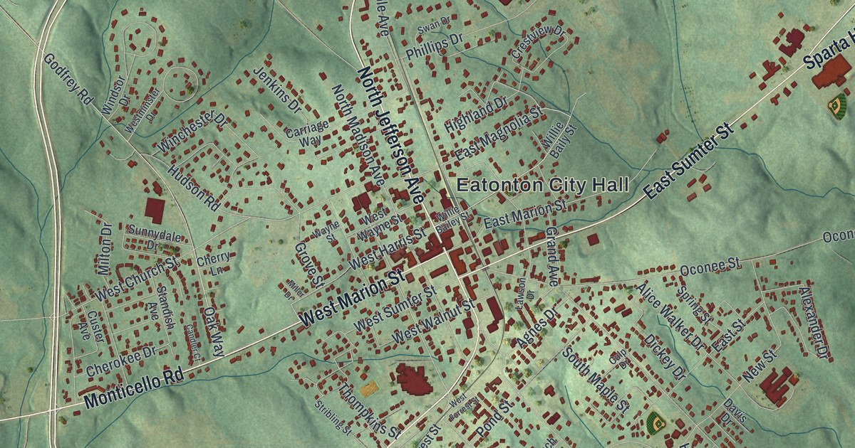
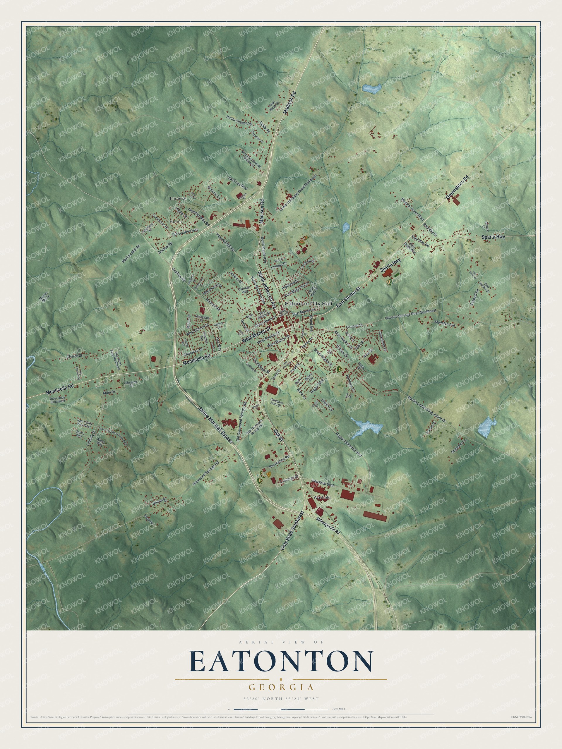
This beautifully detailed map of Eatonton, Georgia was created in 2026 using aerial imagery combined with modern topographical, census, street and landmark data. It’s a one-of-a-kind view of Eatonton that combines accurate data with a vintage aesthetic. The map shows every building in its true location, many of the roads carry their names, and the shaded topographic relief shows the shape of the land.
Explore an aerial view of Eatonton, Georgia
On the map you’ll find Eatonton City Hall, Warfield, Imperial, and Hunts, along with Madison Road, Jefferson Avenue, Gray Road, Marion Street, and more. If you look closely you can even find your house accurately drawn in its correct location. Zoom in on the preview to look for yours.
Did You Know?
After the Civil War, Putnam County’s plantation wealth faded away. In 1876 Benjamin Hunt, a former New York banker, brought fifteen dairy cows and started Panola Farm. Dairying took hold, and by 1901 Putnam ranked third in Georgia for dairy. Eatonton has held a Dairy Festival every year since 1953.
Take a closer look at the Eatonton map
Names on this map
These names are printed on this map.
Places: Eatonton City Hall, Warfield, Imperial and Hunts.
Streets and roads: Madison Road, North Jefferson Avenue, Gray Road Southwest, West Marion Street, Monticello Road, Oak Street, Sparta Highway, Greensboro Road, James Marshall Bypass, East Sumter Street, East Magnolia Street, West Harris Street.
More street names, A to Z
Access Road, Adams Court, Agnes Drive, Alexander Drive, Alice Walker Drive, Beech Avenue, Boswell Road, Boundry Drive, Candler Court, Carriage Way, Chandler Drive, Chase Circle, Cherokee Drive, Cherry Lane, Church Street, Coleman Drive, Crestview Drive, Culp Drive, Custer Avenue, Darnell Drive, Davis Drive, Dickey Drive, East Marion Street, East Mathis Drive, East Street, Forest Street, Gholston Lane, Glenwood Springs Road, Godfrey Road, Grand Avenue, Grove Street, Hambone Holle Drive, Heritage Drive, Highland Drive, Hilltop Road, Hogan Boulevard, Hogan Industrial Boulevard, Holly Drive, Hudson Road, Hunts Chapel Road, Imperial Mill Road, Imperial Mills Road, Industrial Boulevard, Jenkins Drive, Lawson Drive, Leo Street, Loblolly Drive, Lower Harmony Road Northeast, Madelyn Avenue, Main Drive, Martin Luther King Junior Drive, Martins Mill Lane, Martins Mill Road, Medical Acres Boulevard, Milledgeville Road, Miller Drive, Milton Drive, Morning Circle, New Glenwood Springs Road, New Street, Nick's Way, North Madison Avenue, North Maple Avenue, Oak Way, Oconee Springs Road Southeast, Oconee Street, Old Glenwood Springs Road, Old Godfrey Highway, Pearl Moon Drive, Pear Tree Drive, Phillips Drive, Pine Ridge Way, Pinetop Drive, Pond Street, Poplar Street, Putnam Drive, Recreation Road, Reids Road, River Drive Southwest, Rock Lane, Roy Jones Road Northwest, Sam's Way, Sam Farley Way West, Sammons Drive, Sammons Road, Sara Lee Boulevard, Sherwood Avenue Northwest, South Maple Street, Spring Street, Stage Road, Standish Avenue, Stribling Street, Sunnydale Drive, Swan Drive, Thompkins Street, Thru Way Road, Town Creek Road South West, Troy Edwards Road, Victoria Lane, Wagner Drive, Wayne Street, West Church Street, West Forrest Street, West Mathis Drive, Westminster Drive, West Sumter Street, West Walnut Street, West Wayne Street, Willie Bailey Street, Willie Baily Street, Winchester Drive, Windsor Drive.
See it on a wall
The Eatonton map as a framed print. Swipe for more.


This beautifully detailed map of Eatonton makes an attractive addition to your office, library, or den, and it can even be used to teach children the geography and history of the area. It also makes a great gift for anyone who grew up in Eatonton or moved away. When you’re done exploring, click here to get your copy of the Eatonton map.