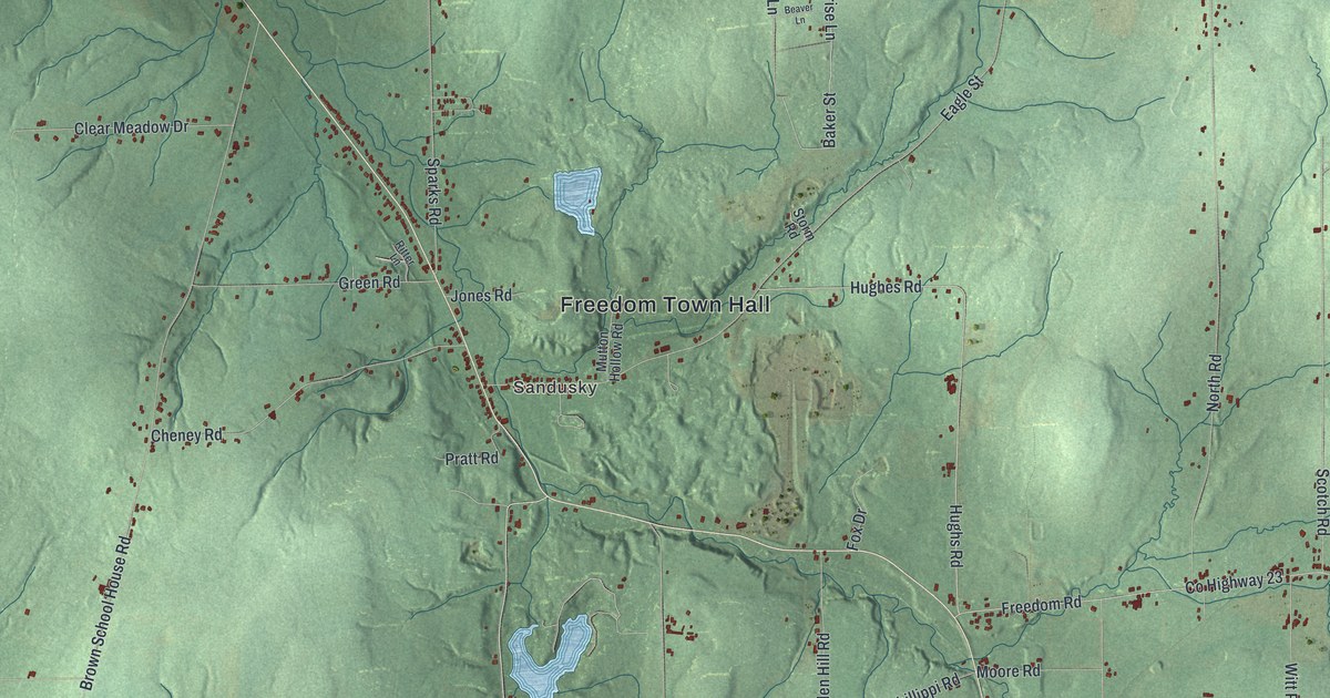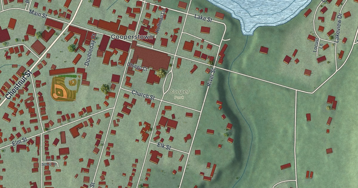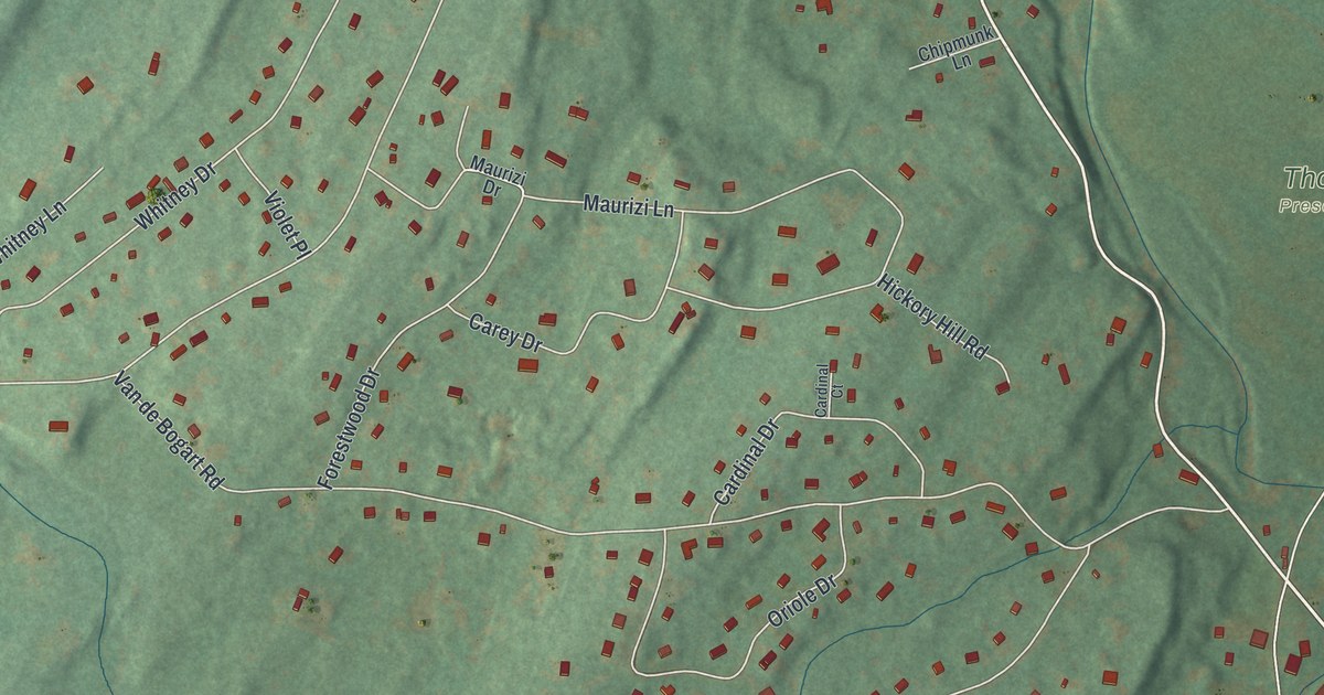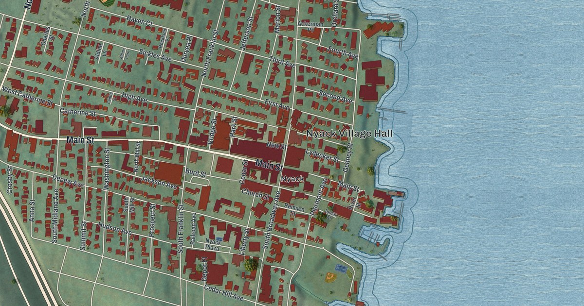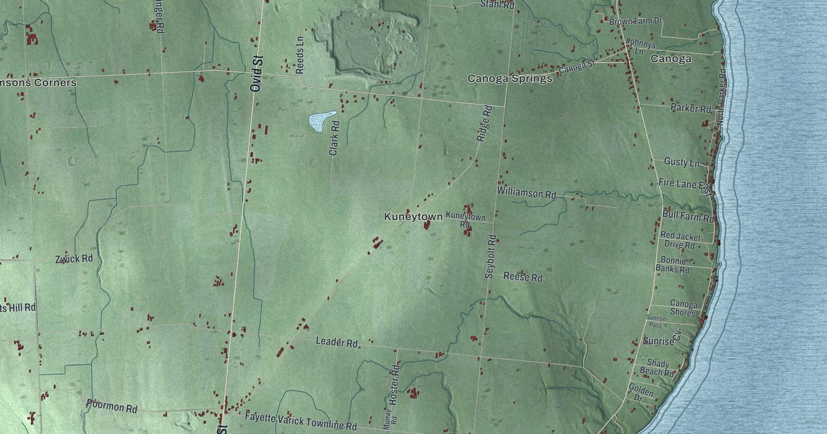
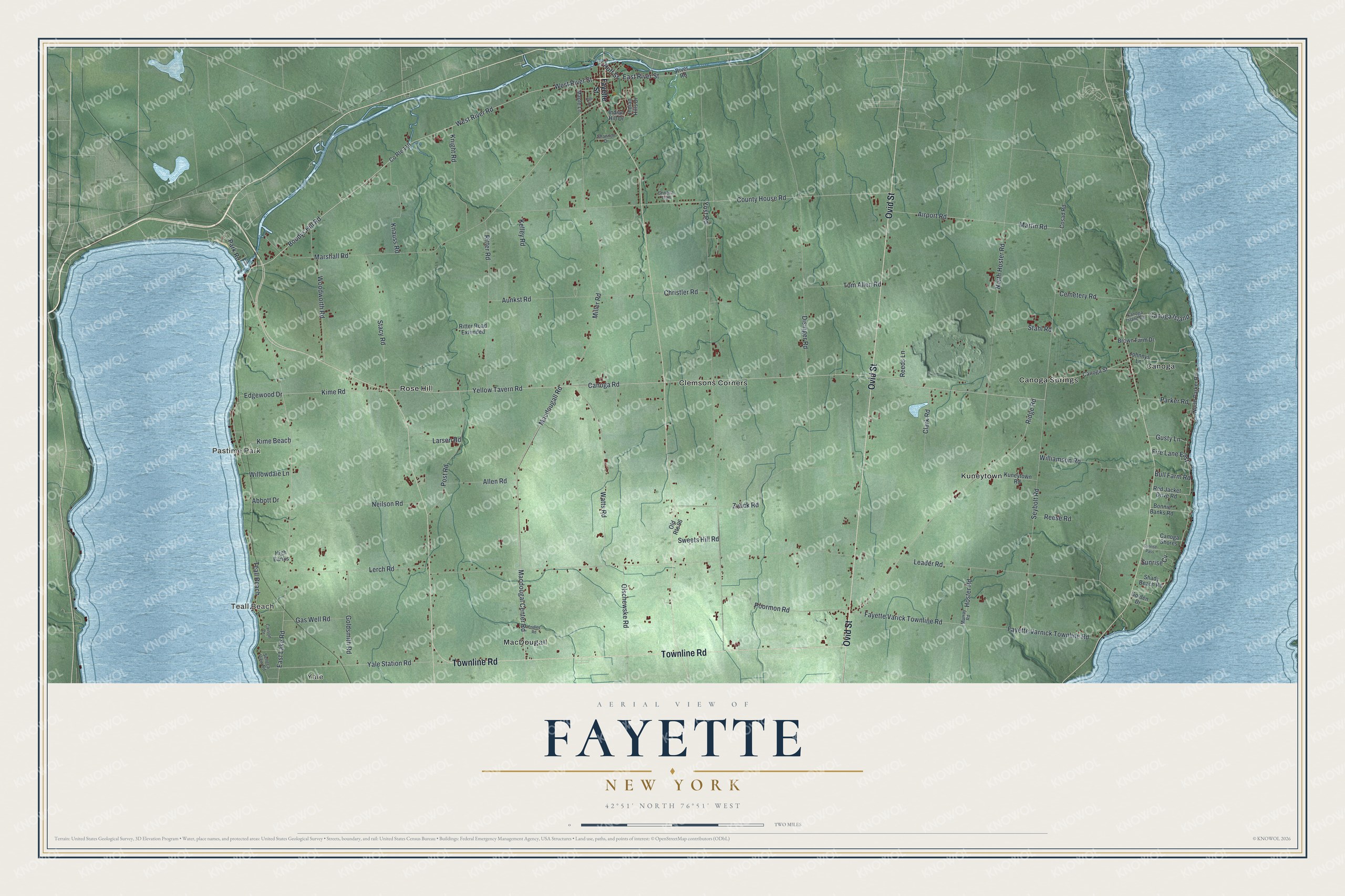
This beautifully detailed map of Fayette, New York was created in 2026 using aerial imagery combined with modern topographical, census, street and landmark data. It’s a one-of-a-kind view of Fayette that combines accurate data with a vintage aesthetic. The map shows every building in its true location, many of the roads carry their names, and the shaded topographic relief shows the shape of the land.
Explore an aerial view of Fayette, New York
On the map you’ll find Teall Beach, Pastime Park, Yale, Canoga, and Canoga Springs, along with Ovid Street, Townline Road, Fayette Street, Macdougall Road, Yellow Tavern Road, and more. If you look closely you can even find your house accurately drawn in its correct location. Zoom in on the preview to look for yours.
Did You Know?
On April 6, 1830, Joseph Smith organized the Church of Christ in Fayette. The meeting took place in a log home owned by Peter Whitmer. Six people became the first members of the Latter Day Saint movement. A rebuilt log home on the original site was dedicated in 1980.
Take a closer look at the Fayette map
Names on this map
These names are printed on this map.
Places: Teall Beach, Pastime Park, Yale, Canoga, Canoga Springs, Clemsons Corners, Kuneytown, MacDougall and Rose Hill.
Streets and roads: Ovid Street, Townline Road, Macdougall Road, Yellow Tavern Road, Kime Road, Edgewood Drive, Kime Beach, Boodys Hill Road, West River Street, East River Street, Park Road, Leader Road.
More street names, A to Z
Abbott Drive, Airport Road, Allen Road, Aunkst Road, Bonnie Banks Road, Brown Farm Drive, Bull Farm Road, Canoga Island, Canoga Island Road, Canoga Road, Canoga Shores, Canoga Street, Carson Drive, Cemetery Road, Christler Road, Clark Road, Cosad Road, County House Road, County Route 119, Disinger Road, East Lake Road, Fayette Street, Fayette Varick Townline Road, Fayette Varnick Townline Road, Fire Lane East, Fridley Road, Gas Well Road, Golden Drive, Goldsmith Road, Gusty Lane, High Banks, Hoster Road, Huff Street, Indian Hill Drive, Indian Hills Drive, Johnnys Lane, Keli Drive, Kelley Road, Knauss Road, Knight Road, Kuneytown Road, Larsen Road, Lerch Road, Macdougal Center Road, Maple Lane, Marshall Road, Martin Road, Miller Road, Murray Road, Neilson Road, North Hoster Road, North Parker Road, Old Route 96, Olschewske Road, Parker Road, Poormon Road, Post Road, Red Jacket Drive Road, Reeds Lane, Reese Road, Ridge Road, Ritter Road, Ritter Road Extended, River Road, Seneca Trail, Seneca View Road, Seybolt Road, Shady Beach Road, Shannon Drive, Stacy Road, Stahl Road, Sunrise Cv, Sunrise Pass, Sweets Hill Road, Tom Allen Road, Watts Road, West River Road, Williamson Road, Willowdale Lane, Woodworth Road, Yale Station Road, Yost Road, Zwick Road.
See it on a wall
The Fayette map as a framed print. Swipe for more.


This beautifully detailed map of Fayette makes an attractive addition to your office, library, or den, and it can even be used to teach children the geography and history of the area. It also makes a great gift for anyone who grew up in Fayette or moved away. When you’re done exploring, click here to get your copy of the Fayette map.