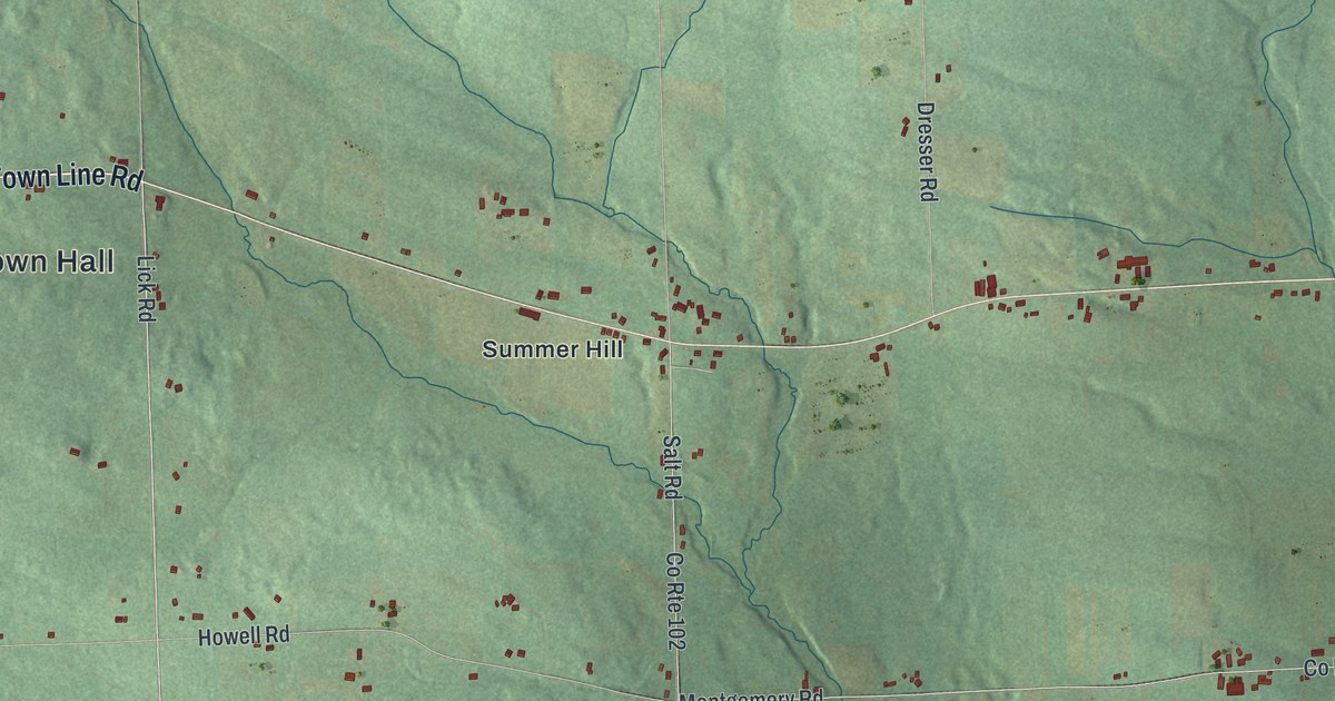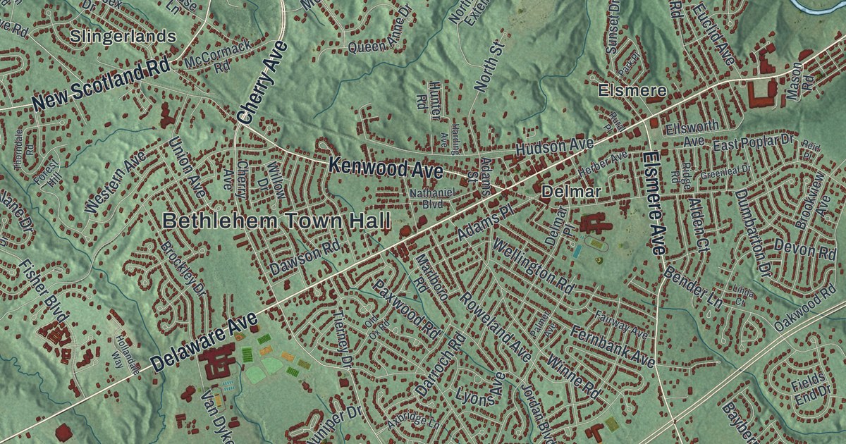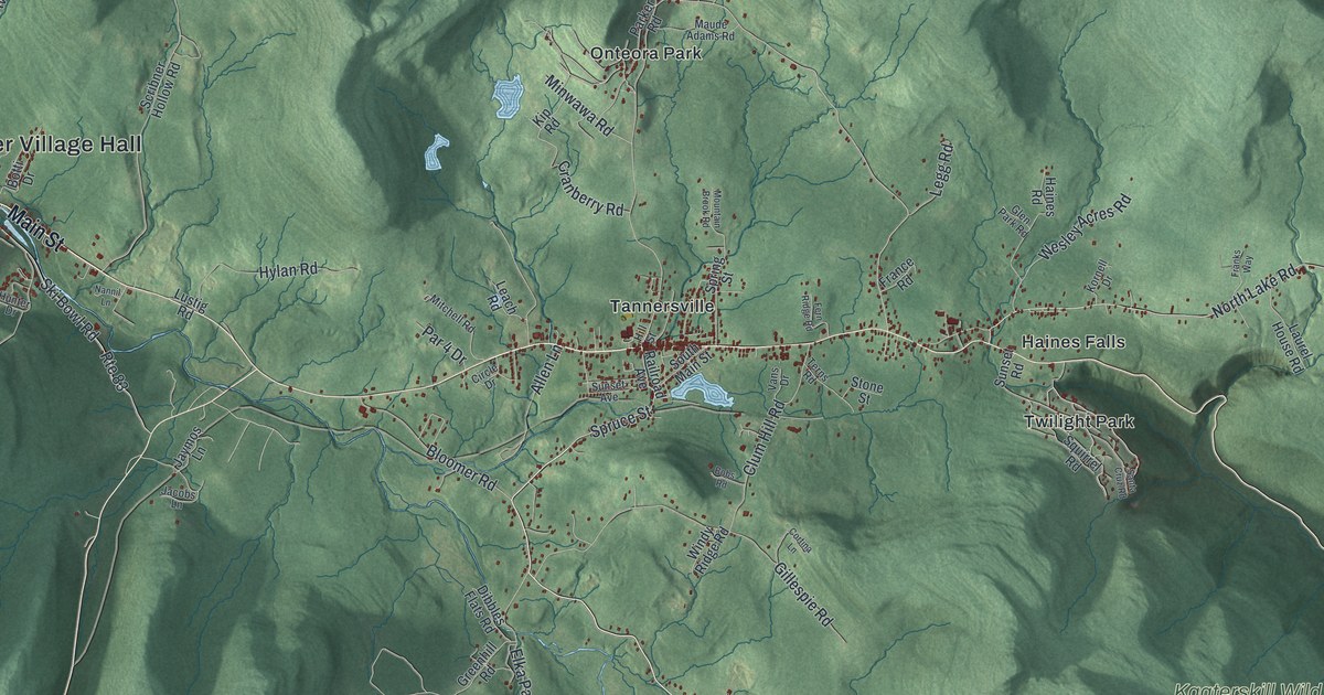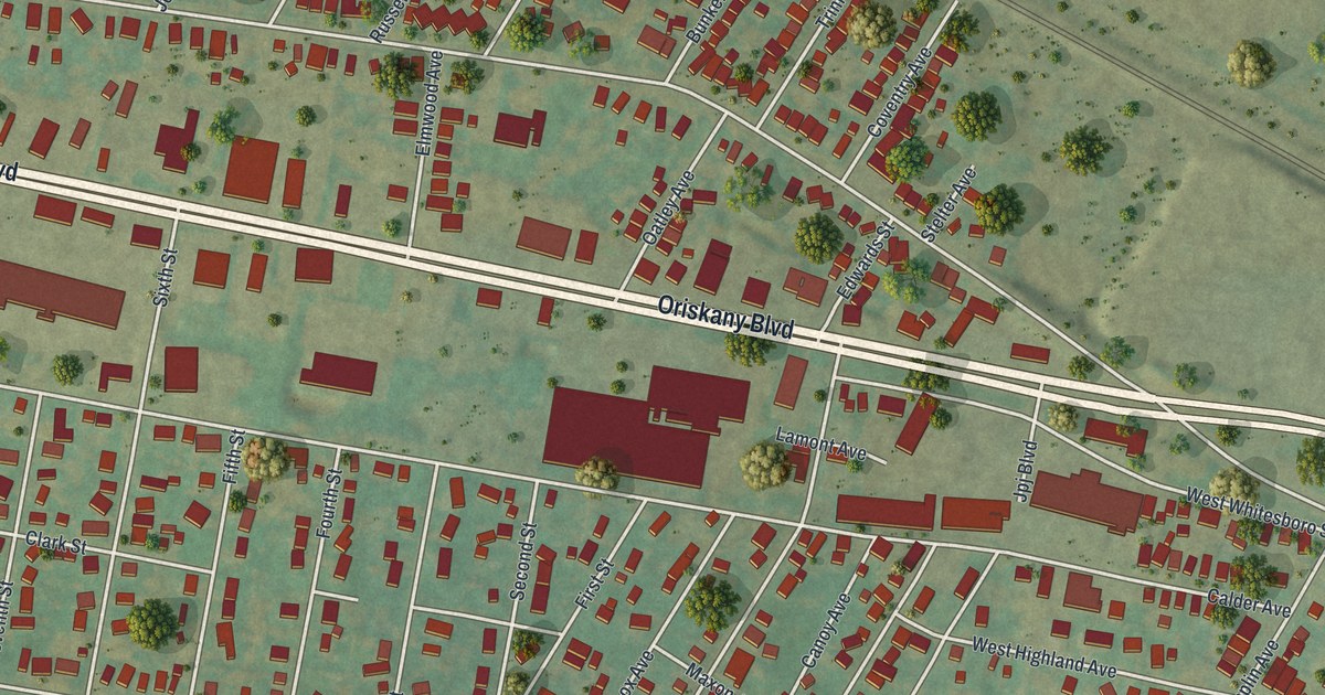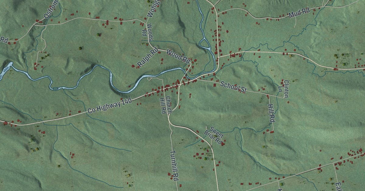
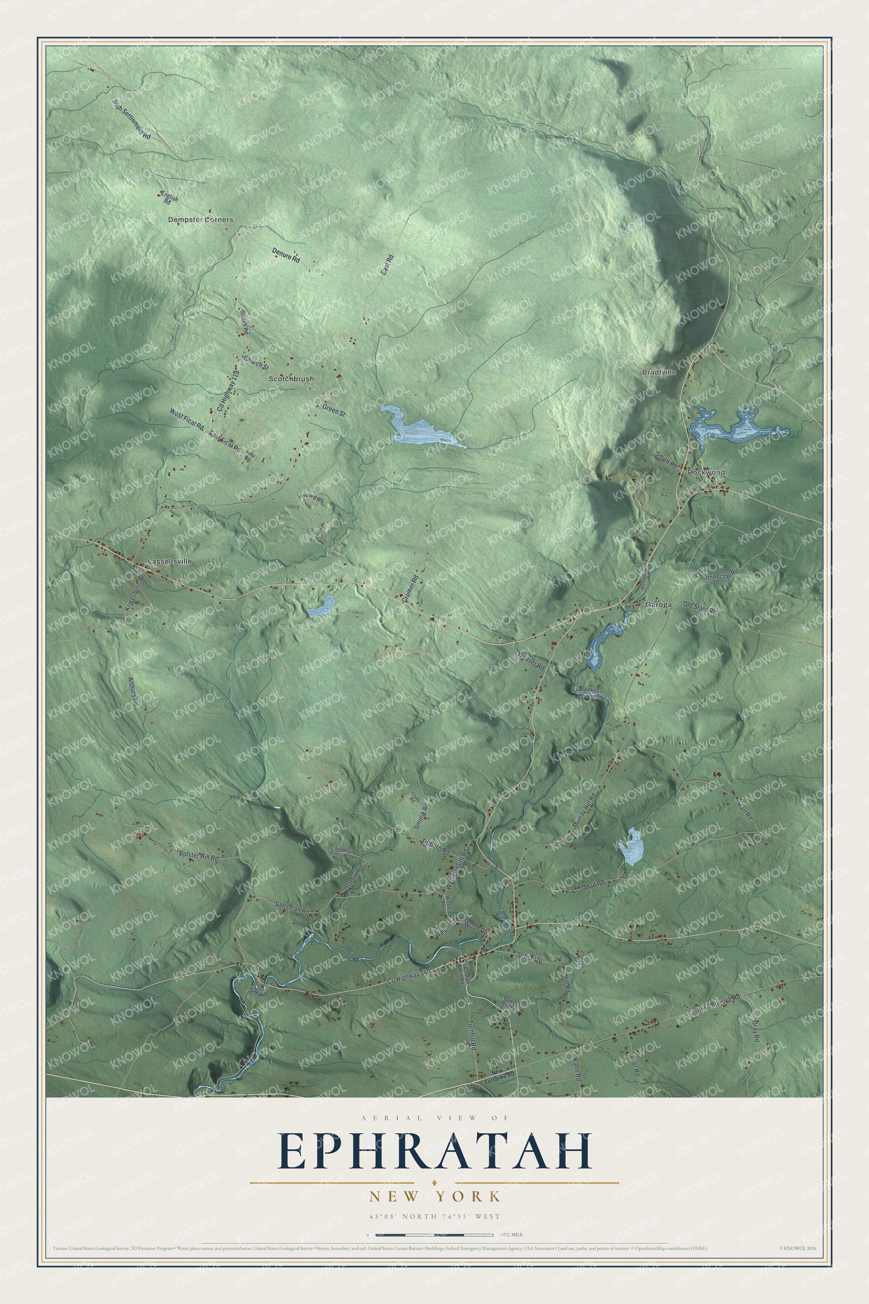
This beautifully detailed map of Ephratah, New York was created in 2026 using aerial imagery combined with modern topographical, census, street and landmark data. It’s a one-of-a-kind view of Ephratah that combines accurate data with a vintage aesthetic. The map shows every building in its true location, many of the roads carry their names, and the shaded topographic relief shows the shape of the land.
Explore an aerial view of Ephratah, New York
On the map you’ll find Dempster Corners, Bradtville, Rockwood, Garoga, and Lassellsville, along with Wood Road, Turnhill Road, Tillboro Road, East Road, Murray Hill Road, and more. If you look closely you can even find your house accurately drawn in its correct location. Zoom in on the preview to look for yours.
Did You Know?
Ephratah is named for Ephrath, a town in the Bible. Early resident Anthony Beck suggested the name, which stands for abundance and bearing fruit. He chose it because he foretold that a great city would one day be built here. The area was first settled around 1720.
Take a closer look at the Ephratah map
Names on this map
These names are printed on this map.
Places: Dempster Corners, Bradtville, Rockwood, Garoga, Lassellsville and Scotchbrush.
Streets and roads: County Highway 140, Wood Road, Turnhill Road, County Highway 119, Tillboro Road, East Road, Murray Hill Road, New Turnpike Road, Saltsman Road, Mud Road, Bolster Hill Road, East Fical Road.
More street names, A to Z
Arthurs Road, C-Connector Road, Church Hill Road, Church Street, Clinton Lane, Clyde Road, Cromer Road, Denure Road, Eaker Road, English Road, Fical Road, Fort Plain Watershed Road, Gotten Road, Gray Road, Green Street, Hart Road, Hill Road, Howard Road, Irish Settlement Road, Jinkes Hollow Road, Kahn Road, Kringsbush Road, Old State Road, Ostrom Road, Ralph Road, Schoolhouse Road, School Street, Smith Road, Smolik Road, Sweet Briar Road, Wagners Hollow Road, Weaver Road, West Fical Road, Wohlgemuth Road, Woods Road.
See it on a wall
The Ephratah map as a framed print. Swipe for more.


This beautifully detailed map of Ephratah makes an attractive addition to your office, library, or den, and it can even be used to teach children the geography and history of the area. It also makes a great gift for someone who left Ephratah and still calls it home. When you’re done exploring, click here to get your copy of the Ephratah map.