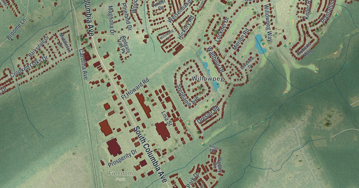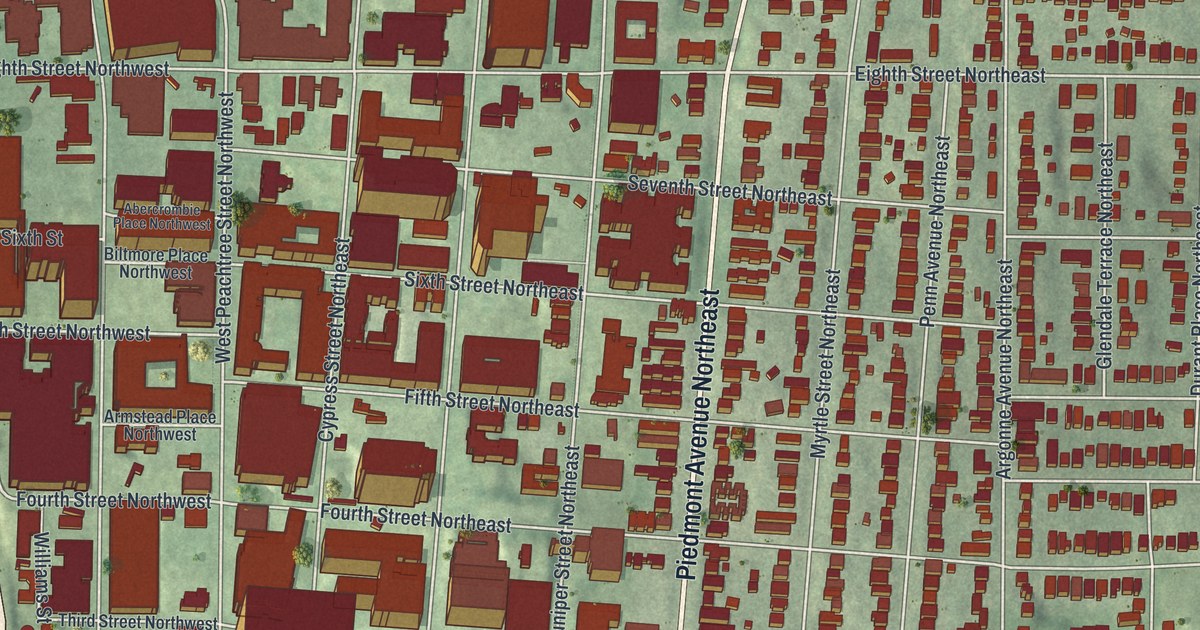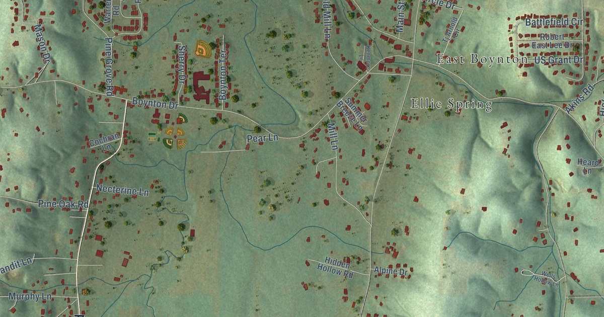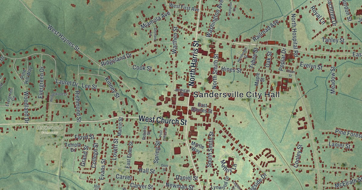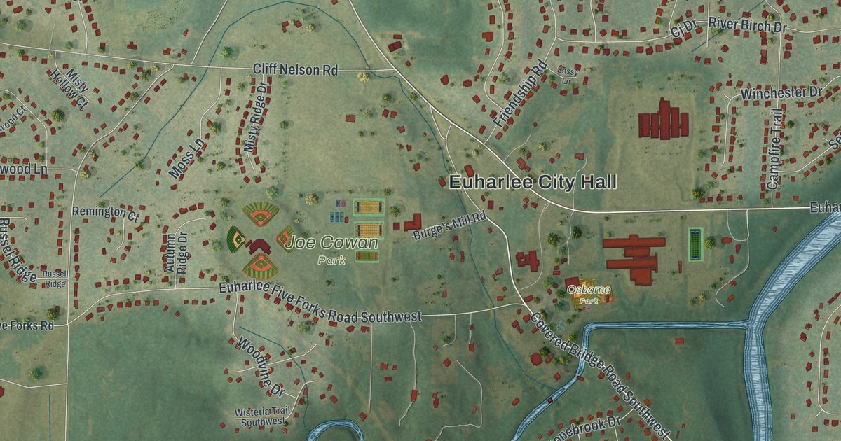
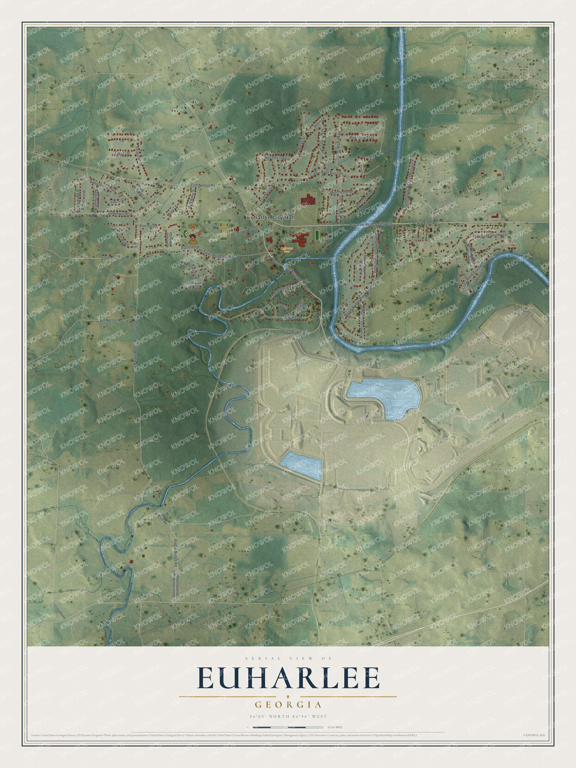
This beautifully detailed map of Euharlee, Georgia was created in 2026 using aerial imagery combined with modern topographical, census, street and landmark data. It’s a one-of-a-kind view of Euharlee that combines accurate data with a vintage aesthetic. The map shows every building in its true location, many of the roads carry their names, and the shaded topographic relief shows the shape of the land.
Explore an aerial view of Euharlee, Georgia
On the map you’ll find Euharlee City Hall, Joe Cowan Park, and Osborne Park, along with Euharlee Road, Covered Bridge Road, Cj Drive, Hardin Bridge Road, and more. If you look closely you can even find your house accurately drawn in its correct location. Zoom in on the preview to look for yours.
Did You Know?
Euharlee’s name comes from the Cherokee language. It means she laughs as she runs, a picture of the sound of Euharlee Creek. Settlers in the 1840s called the place Burge’s Mill. Georgia lawmakers incorporated it as Euharlee on September 16, 1870.
Take a closer look at the Euharlee map
Names on this map
These names are printed on this map.
Places: Euharlee City Hall, Joe Cowan Park and Osborne Park.
Streets and roads: Euharlee Road, Covered Bridge Road, Euharlee Road Southwest, Cj Drive, Hardin Bridge Road Southwest, Cliff Nelson Road, Milam Bridge Road Southwest, Covered Bridge Road Southwest, River Walk Parkway, Euharlee Five Forks Road Southwest, Lazy Water Drive, McCormick Road.
More street names, A to Z
Amberwood, Amberwood Court, Amberwood Lane, Amberwood Place, Amberwood Trail, Amberwood Way, Autumn Ridge Drive, Bill Nelson Road, Bobcat Court, Bucky Street, Burge's Mill Road, Campfire Trail, Cliffhanger Pointe Southwest, Clover Drive, Colleen Karen Road Southwest, Devin Lane, Dobson Drive Southwest, Euharlee Five Forks Road, Fawn Vw, Ferguson Drive, Friendship Road, Hardin Bridge Road, Linda Road Southwest, Lois Road Southwest, Lowry Way, Milam Circle Southwest, Misty Hollow Court, Misty Ridge Drive, Moss Lane, Old Harden Bridge Road Southwest, Pebble Brook Court, Red Fox Trail, Remington Court, River Birch Circle, River Birch Drive, River Oaks Drive Southwest, Riverview Trail, Russell Ridge, Russel Ridge, Sassy Lane, Setters Pointe, Stonebrook Drive, Turtle Rock Court, Winchester Drive, Wisteria Trail Southwest, Woodvine Drive, Yellow Brick Road.
See it on a wall
The Euharlee map as a framed print. Swipe for more.


This beautifully detailed map of Euharlee makes an attractive addition to your office, library, or den, and it can even be used to teach children the geography and history of the area. It also makes a great gift for anyone with Euharlee roots. When you’re done exploring, click here to get your copy of the Euharlee map.