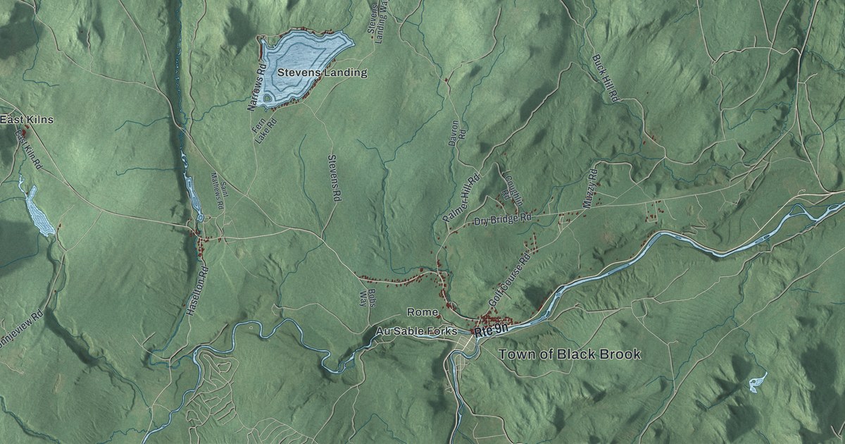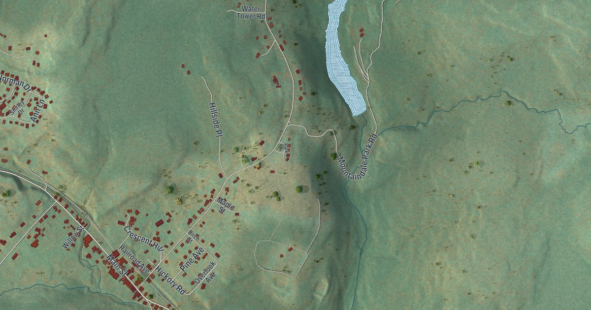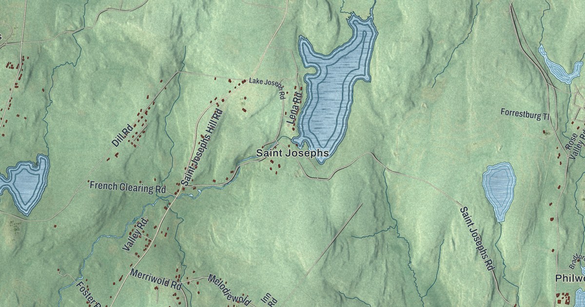
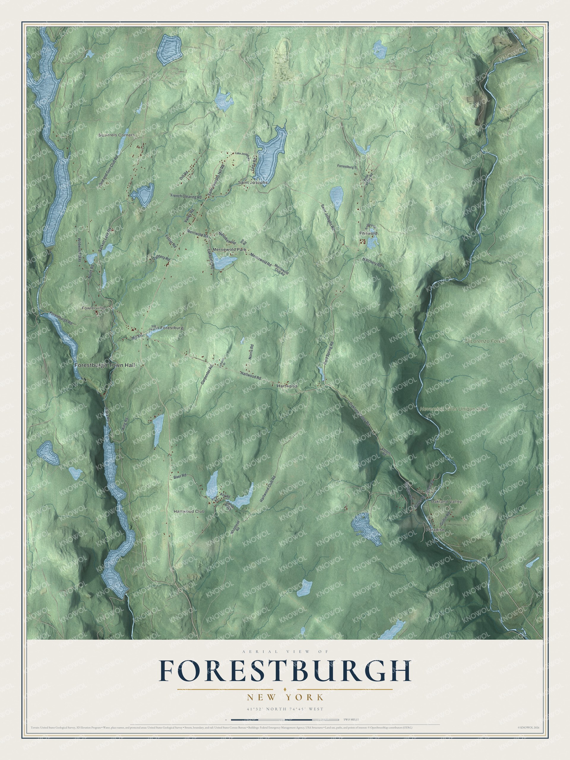
This beautifully detailed map of Forestburgh, New York was created in 2026 using aerial imagery combined with modern topographical, census, street and landmark data. It’s a one-of-a-kind view of Forestburgh that combines accurate data with a vintage aesthetic. The map shows every building in its true location, many of the roads carry their names, and the shaded topographic relief shows the shape of the land.
Explore an aerial view of Forestburgh, New York
On the map you’ll find Forestburgh Town Hall, Squirrels Corners, Oakland Valley, Fowlerville, Hartwood Club, Forestburg, and DiLorenzo Forest, along with Merriewold Road, Lakeside Road, Sackett Lake Road, Hartwood Road, and more. If you look closely you can even find your house accurately drawn in its correct location. Zoom in on the preview to look for yours.
Did You Know?
Forestburgh was formed in 1837 from parts of Mamakating and Thompson. Its early workers tanned hides, quarried bluestone and cut timber. By 1858 the town had thirty-nine tanneries making 100,000 sides of leather a year. When concrete and scarce bark ended those trades, summer boarding houses and resorts took their place.
Take a closer look at the Forestburgh map
Names on this map
These names are printed on this map.
Places: Forestburgh Town Hall, Squirrels Corners, Oakland Valley, Fowlerville, Hartwood Club, DiLorenzo Forest, Neversink River Unique Area, Forestburg, Hartwood, Merriewold Park, Paradise, Philwold and Saint Josephs.
Streets and roads: Merriewold Road, Melodiewold, Lakeside Road, Sackett Lake Road, Hartwood Road, Plank Road, Oakland Valley Road, Cold Spring Road, Hartwood Club Road, Saint Josephs Road, Forestburgh Road, Dill Road.
More street names, A to Z
Antlers Road, Baer Road, Bradford Road, Burns Road, Carpenter Road, Crane Ridge, Echo Road, Eden Road, Forrestburg Tl, Foster Road, French Clearing Road, Galligan Road, Griffin Road, Hatchery Road, Inn Road, Keg Road, King Road, Lake Joseph Road, Lena Road, Lorraine Drive, Merriewold Club Road, Merriwold Road, Mill Road, Norris Road, North Road, Rod and Gun Club Road, Rose Valley Road, Saint Josephs Hill Road, Stag Forest Road, Tannery Road, Valley Road, Whitehead Road, Wildwood Way.
See it on a wall
The Forestburgh map as a framed print. Swipe for more.


This beautifully detailed map of Forestburgh makes an attractive addition to your office, library, or den, and it can even be used to teach children the geography and history of the area. It also makes a great gift for someone who left Forestburgh and still calls it home. When you’re done exploring, click here to get your copy of the Forestburgh map.