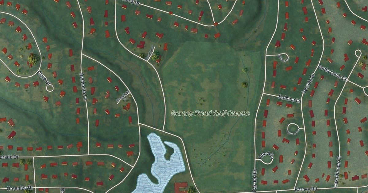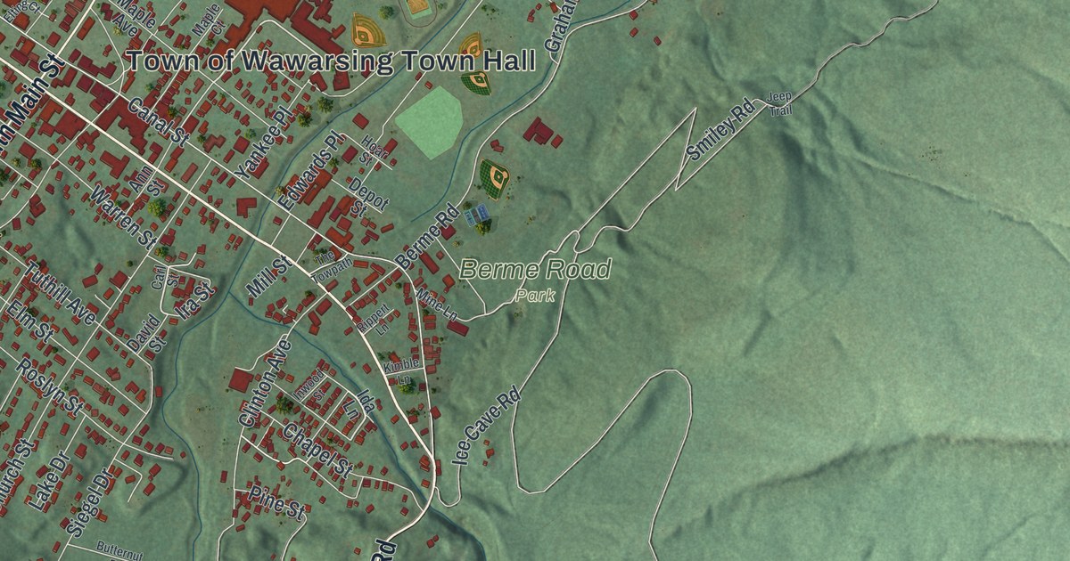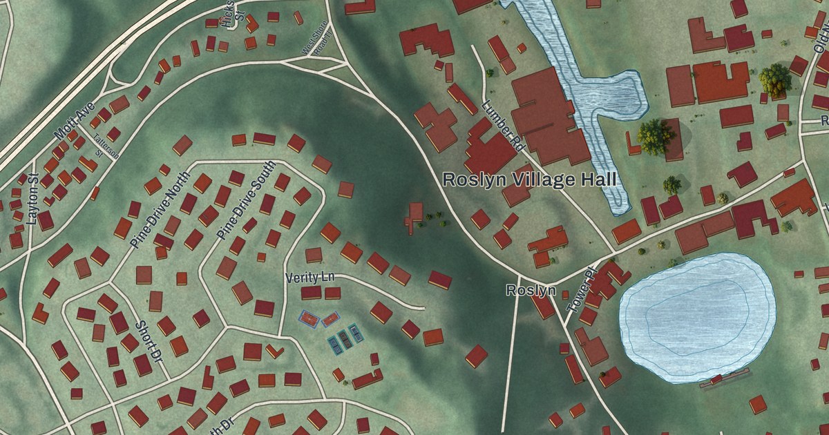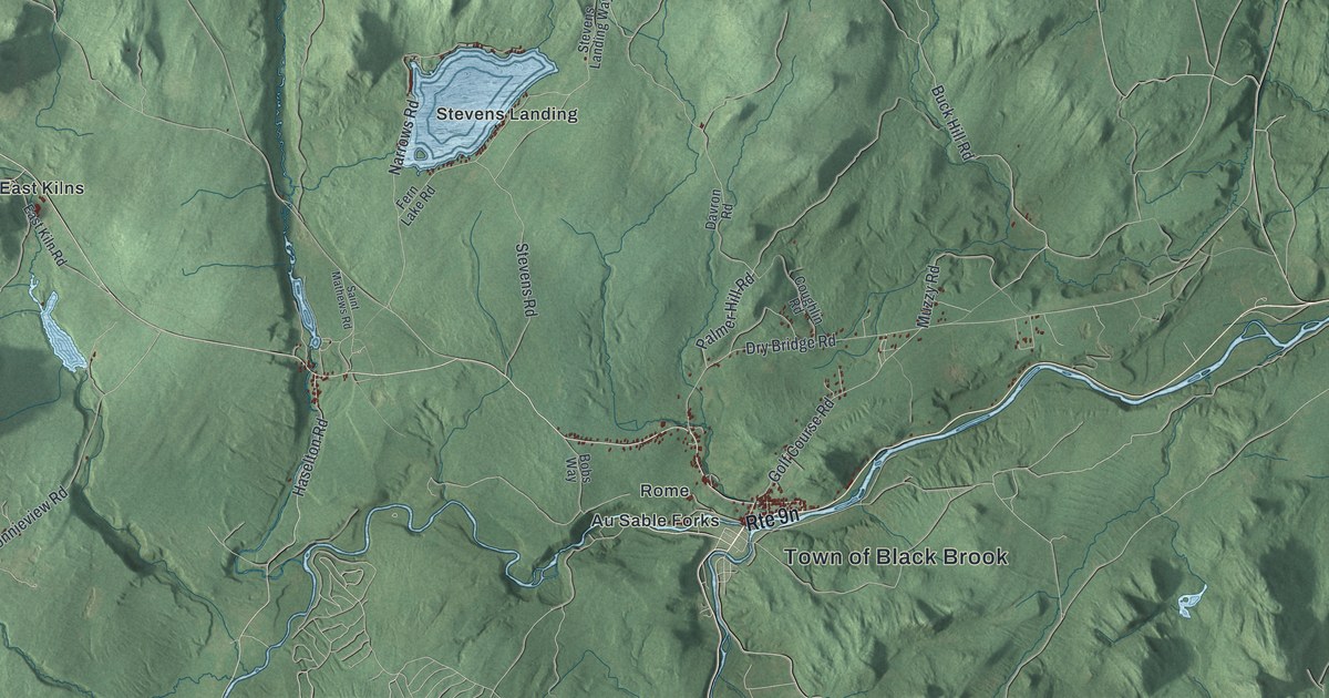
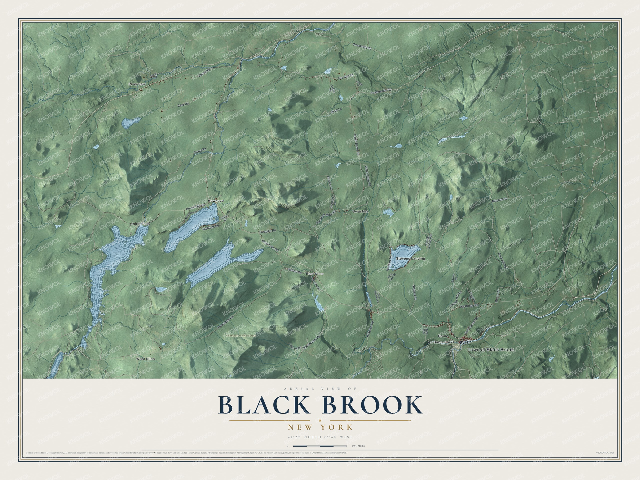
This beautifully detailed map of Black Brook, New York was created in 2026 using aerial imagery combined with modern topographical, census, street and landmark data. It’s a one-of-a-kind view of Black Brook that combines accurate data with a vintage aesthetic. The map shows every building in its true location, many of the roads carry their names, and the shaded topographic relief shows the shape of the land.
Explore an aerial view of Black Brook, New York
On the map you’ll find West Kilns, Riverview, Au Sable Forks, East Kilns, Hawkeye, and Wilmington Wild Forest, along with Silver Lake Road, Peasleeville Road, Buck Hill Road, Haselton Road, Goodrich Mills Road, and more. If you look closely you can even find your house accurately drawn in its correct location. Zoom in on the preview to look for yours.
Did You Know?
The town took its name from a local stream. Settlers first arrived around 1825. Black Brook was split off from the town of Peru in 1839. Its early people lived by farming, mining and smelting iron.
Take a closer look at the Black Brook map
Names on this map
These names are printed on this map.
Places: Town of Black Brook, West Kilns, Riverview, Wilmington Wild Forest, Au Sable Forks, East Kilns, Hawkeye, Rome, Stevens Landing, Swastika and Union Falls.
Streets and roads: Silver Lake Road, Peasleeville Road, Buck Hill Road, Haselton Road, Goodrich Mills Road, Guide Board Road, Forestdale Road, Turnpike Road, Casey Road, Ore Bed Road, Dry Bridge Road, Union Falls Road.
More street names, A to Z
Bessie Lane, Birch Lane, Bobs Way, Bonnieview Road, Cass Road, Coughlin Road, Davron Road, East Kiln Road, Fern Lake Road, Golf Course Road, Island Road, Little Tor Road, Mitchell Road, Muzzy Road, Narrows Road, Nelson Road, North Shore Lane, O'Hara Road, Palmer Hill Road, Richards Road, River Road, Saint Mathews Road, Soucy Road, Stevens Landing Way, Stevens Road, Strackville Road, Swastica Road, Swastika Road, Willis Camp Road.
See it on a wall
The Black Brook map as a framed print. Swipe for more.


This beautifully detailed map of Black Brook makes an attractive addition to your office, library, or den, and it can even be used to teach children the geography and history of the area. It also makes a great gift for someone who left Black Brook and still calls it home. When you’re done exploring, click here to get your copy of the Black Brook map.