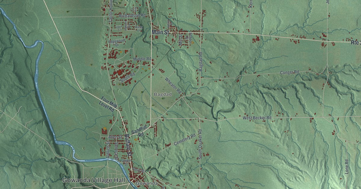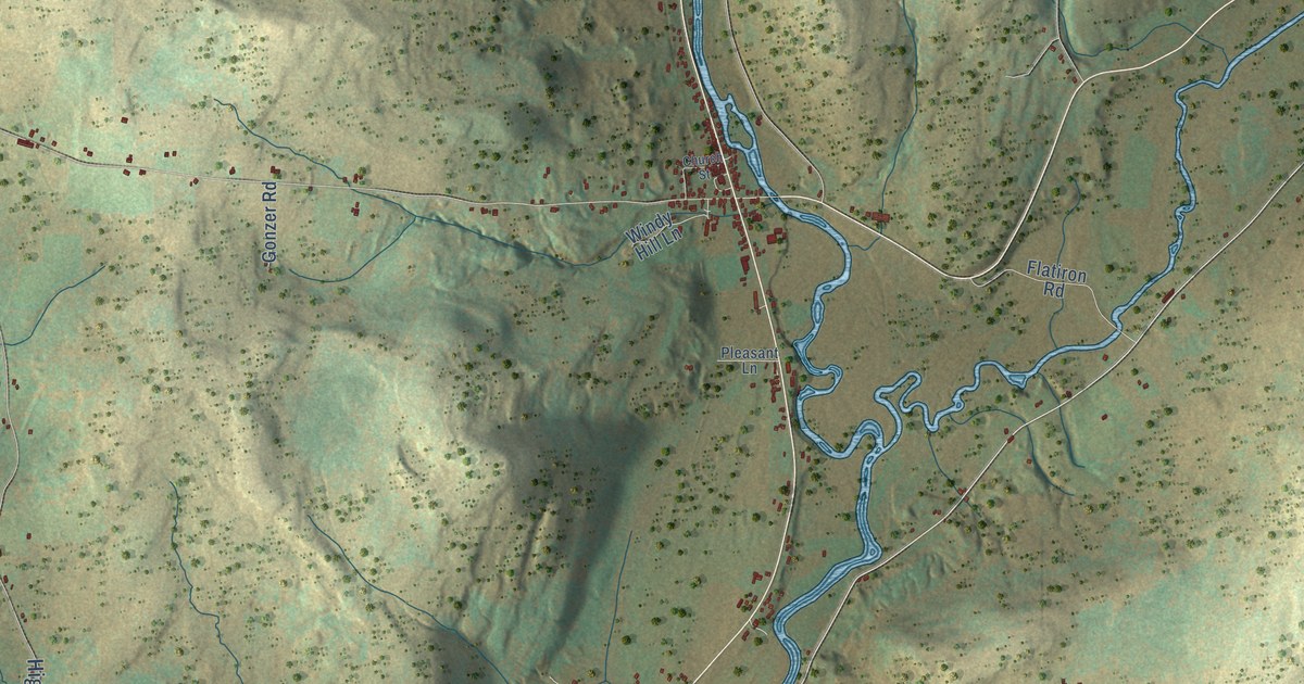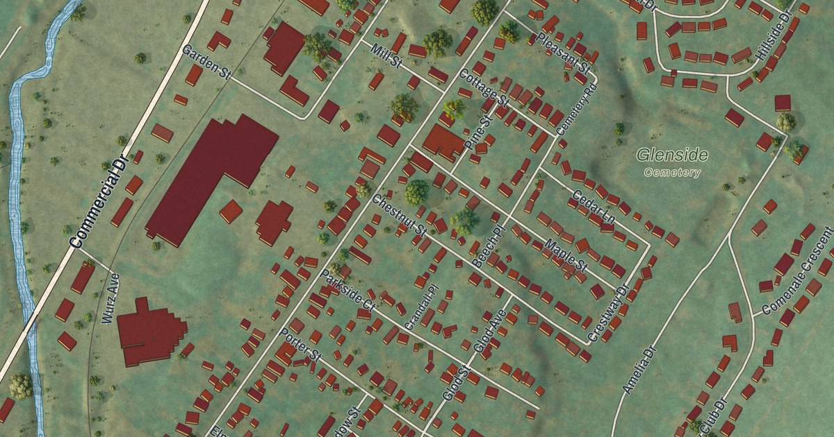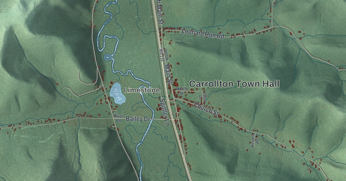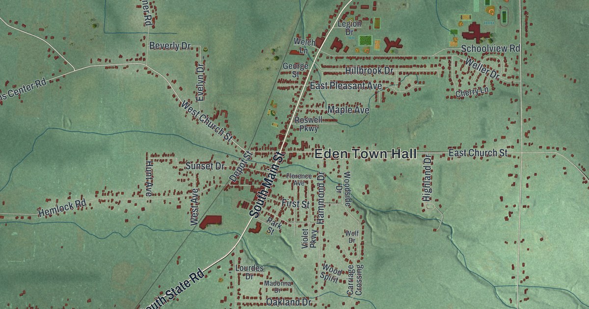
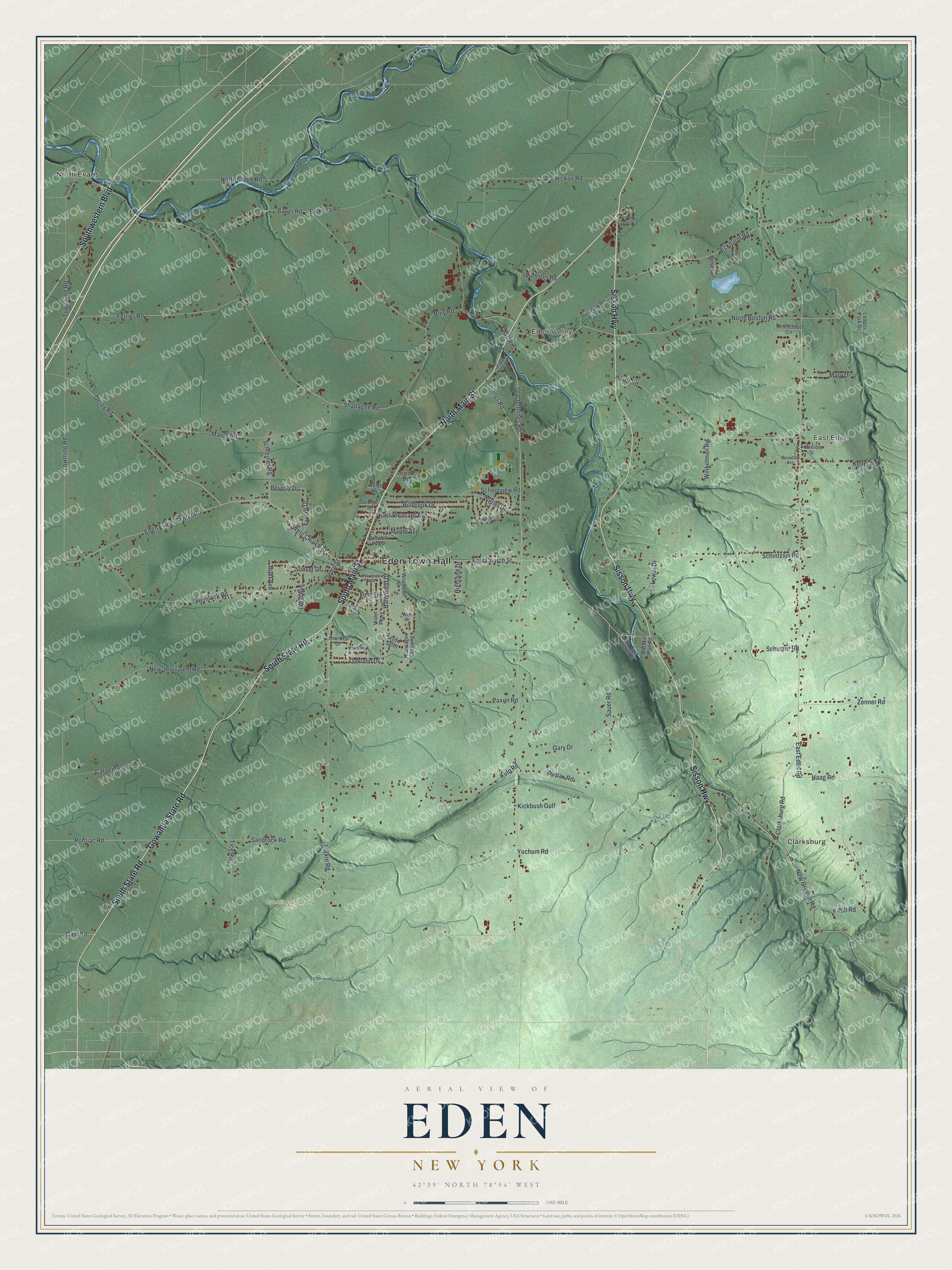
This beautifully detailed map of Eden, New York was created in 2026 using aerial imagery combined with modern topographical, census, street and landmark data. It’s a one-of-a-kind view of Eden that combines accurate data with a vintage aesthetic. The map shows every building in its true location, many of the roads carry their names, and the shaded topographic relief shows the shape of the land.
Explore an aerial view of Eden, New York
On the map you’ll find Eden Town Hall, Clarksburg, East Eden, Eden Valley, North Evans, and Franklin Gulf County Park, along with Gowanda State Road, Main Street, State Road, Sisson Highway, and more. If you look closely you can even find your house accurately drawn in its correct location. Zoom in on the preview to look for yours.
Did You Know?
Samuel Tubbs was the first settler in Eden, arriving in 1808. The town was formed in 1812 out of the old town of Willink. In 1916 the Original American Kazoo Company opened in Eden. It is still the only metal kazoo factory in North America.
Take a closer look at the Eden map
Names on this map
These names are printed on this map.
Places: Eden Town Hall, Clarksburg, East Eden, Eden Valley, Franklin Gulf County Park and North Evans.
Streets and roads: Gowanda State Road, North Main Street, South Main Street, South State Road, Sisson Highway, Southwestern Boulevard, West Church Street, Old Jennings Road, Derby Road, Townline Road, Ferrier Road, North Boston Road.
More street names, A to Z
Bauer Road, Belknap Road, Beverly Drive, Bley Road, Cain Road, Carpenter Road, Carriage Crossing, Cherry Lane, Clarksburg Road, Combs Drive, Depot Street, East Church Street, East Eden Road, East Pleasant Avenue, Eckhardt Road, Eden Evans Center Road, Eden Valley Road, Evelyn Drive, First Street, Florence Avenue, Gary Drive, George Street, Gerald Drive, Haag Road, Hammond Drive, Hardt Road, Hemlock Road, Hickman Road, Hickox Road, Highland Drive, Hillbrook Drive, Hunt Avenue, Jennings Road, Keller Road, Kickbush Gulf, Knoll Road, Kulp Road, Larkin Road, Ledges Park Drive, Legion Drive, Lourdes Drive, Lower Drive, Madonna Drive, Maple Avenue, March Road, Mary Drive, Mill Road, Nelson Drive, New Jerusalem Road, New Oregon Road, North Creek Road, Oakland Drive, Old East Church Street, Old Mill Run Road, Park Street, Paxon Road, Pontiac Road, Rosedale Avenue, Roswell Parkway, Sandrock Road, Sauer Road, Schintzius Road, Schoolview Road, Schreiber Street, Schreiner Road, Schuster Road, Shadagee Road, Sunset Drive, Tennessee Circle, Tice Road, Town Line Road, Versailles Road, Violet Parkway, Webster Road, Welch Lane, Weller Drive, Wepax Road, West Avenue, Winkelman Road, Wolf Drive, Woodside Drive, Wood Spirit, Yochum Road, Zenner Road.
See it on a wall
The Eden map as a framed print. Swipe for more.


This beautifully detailed map of Eden makes an attractive addition to your office, library, or den, and it can even be used to teach children the geography and history of the area. It also makes a great gift for someone who left Eden and still calls it home. When you’re done exploring, click here to get your copy of the Eden map.