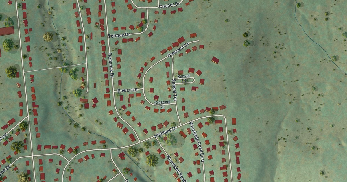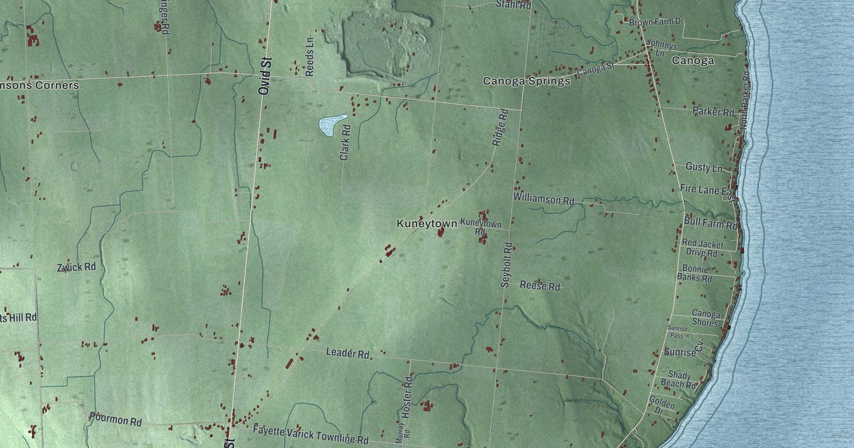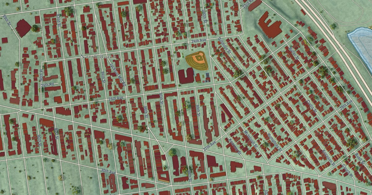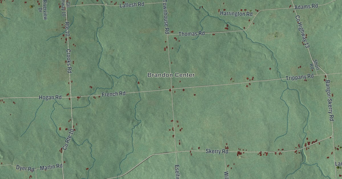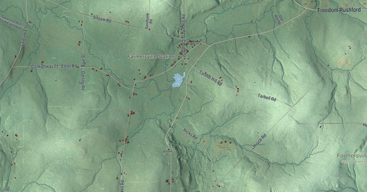
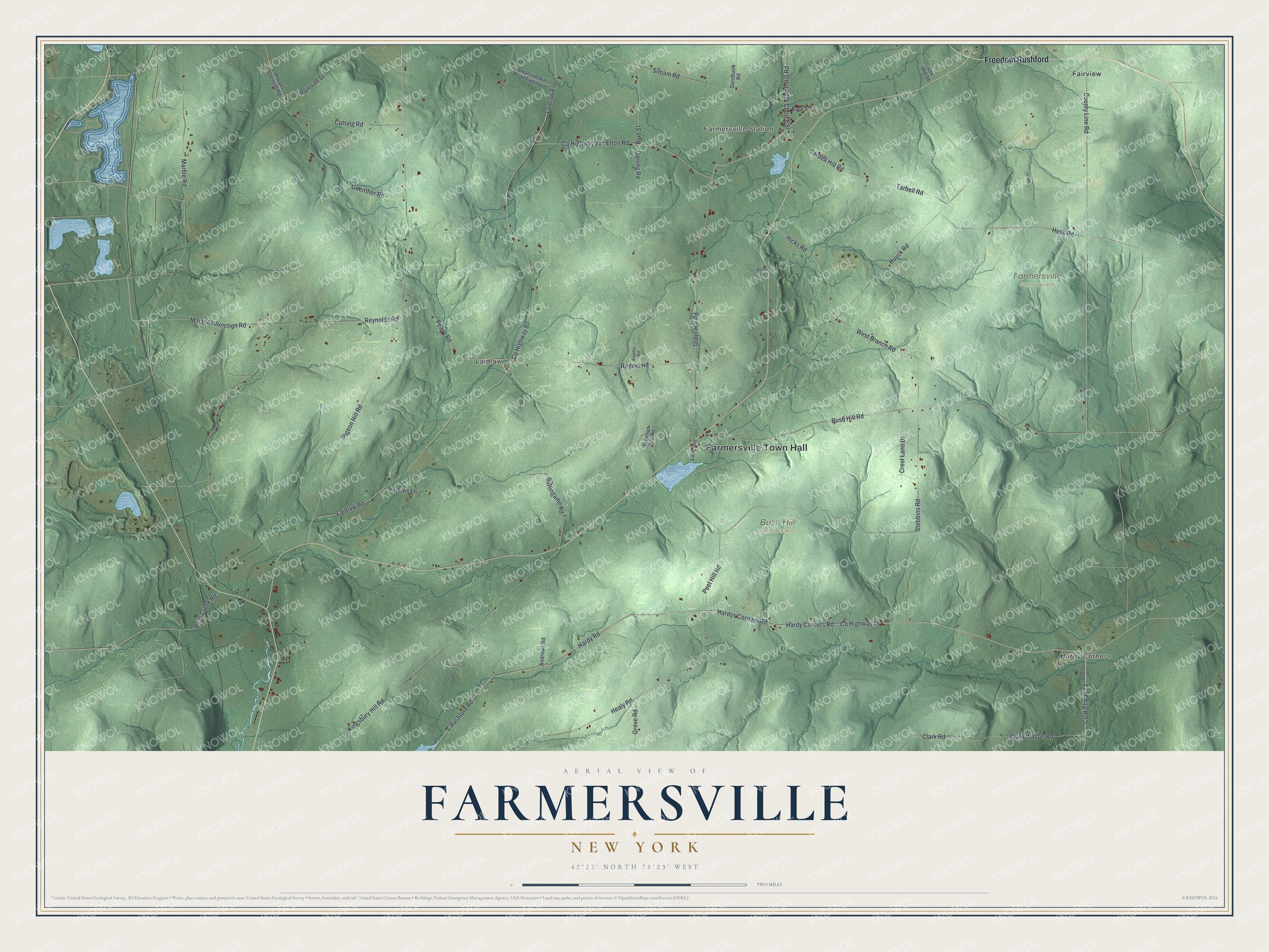
This beautifully detailed map of Farmersville, New York was created in 2026 using aerial imagery combined with modern topographical, census, street and landmark data. It’s a one-of-a-kind view of Farmersville that combines accurate data with a vintage aesthetic. The map shows every building in its true location, many of the roads carry their names, and the shaded topographic relief shows the shape of the land.
Explore an aerial view of Farmersville, New York
On the map you’ll find Farmersville Town Hall, Freedom Rushford, Laidlaw Elton, Hardy Corners, Farmersville Station, Laidlaw, Fairview, and Bush Hill State Forest, along with Hardy Corners Road, Hardy Road, and more. If you look closely you can even find your house accurately drawn in its correct location. Zoom in on the preview to look for yours.
Did You Know?
Farmersville sits high on the watershed between the Allegheny River and Cattaraugus Creek, with a branch of the Genesee River nearby. In 1940 old-timers liked to boast about one spot in town. They said a man could stand there and spit into waters bound for both the Gulf of St. Lawrence and the Gulf of Mexico. That’s from the 1940 WPA guide to New York.
Take a closer look at the Farmersville map
Names on this map
These names are printed on this map.
Places: Farmersville Town Hall, Hardy Corners, Farmersville Station, Laidlaw, Bush Hill State Forest, Farmersville State Forest and Fairview.
Streets and roads: Freedom Rushford, County Highway 46, Hardy Corners Road, Hardy Road, County Line Road, Laidlaw Elton, Church Street, County Highway 80, Laidlaw Road, Pigeon Hill Road, Huyck Road, County Highway 21.
More street names, A to Z
Andrews Road, Arrow Drive, Back Street, Bear Creek Road, Blue Street, Brennan Hill Road, Burlingame Road, Bush Hill Road, Clark Road, Clark Wilson Road, Crest Lane Drive, Cutting Road, Darling Road, Eichler Road, Elton Road, Galen Hill Road, Grove Road, Guenther Road, Hardys Corners Road, Healy Road, Hess Road, Hicks Road, Hooper Corners Road, Kingsbury Hill Road, Lake Avenue, Machias Junction Road, Marble Road, Older Hill Road, Old Route 98, Peavy Road, Peet Hill Road, Perkins Lane, Railroad Street, Rawson Road, Reynolds Road, Rogers Road, Rushford Road, Sandbank Road, Siloam Road, Stebbins Road, Swanson Hill Road Extended, Tarbell Hill Road, Tarbell Road, West Branch Road.
See it on a wall
The Farmersville map as a framed print. Swipe for more.


This beautifully detailed map of Farmersville makes an attractive addition to your office, library, or den, and it can even be used to teach children the geography and history of the area. It also makes a great gift for anyone with Farmersville roots. When you’re done exploring, click here to get your copy of the Farmersville map.