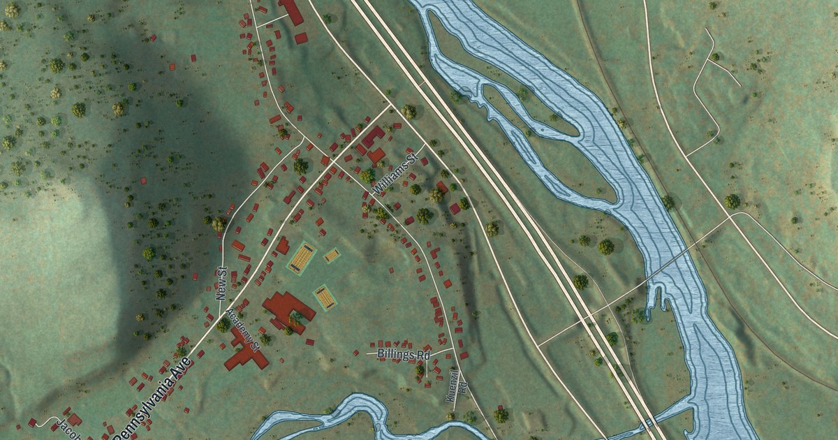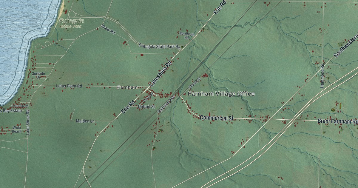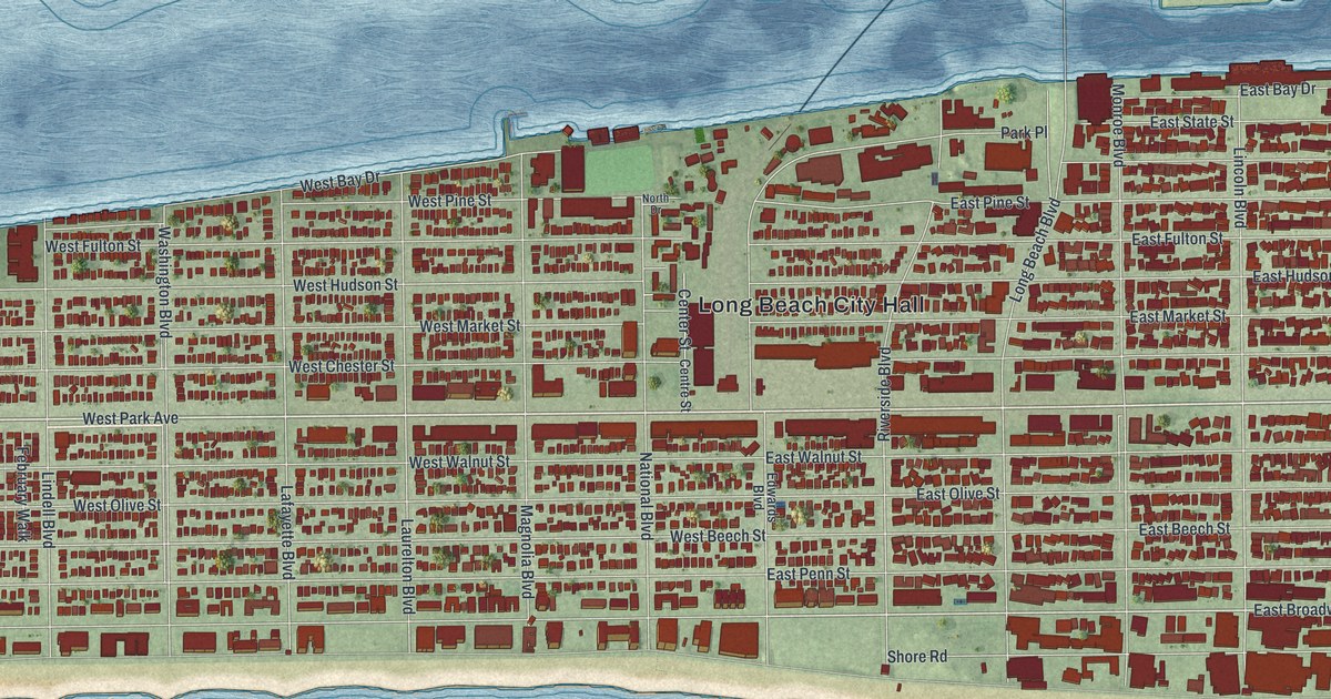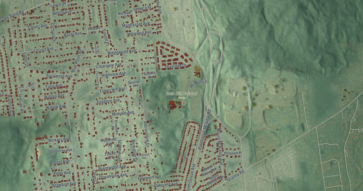
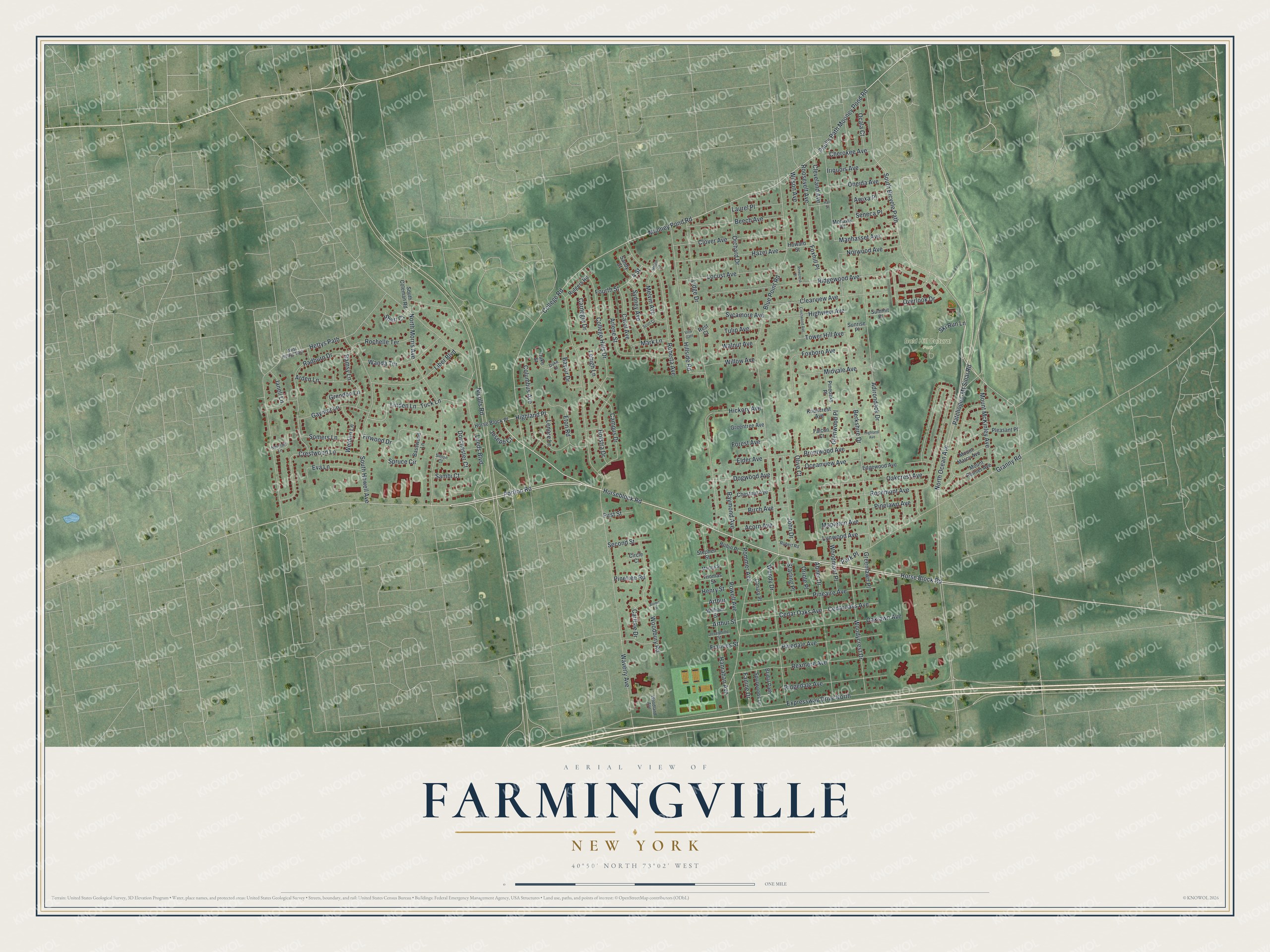
This beautifully detailed map of Farmingville, New York was created in 2026 using aerial imagery combined with modern topographical, census, street and landmark data. It’s a one-of-a-kind view of Farmingville that combines accurate data with a vintage aesthetic. The map shows every building in its true location, many of the roads carry their names, and the shaded topographic relief shows the shape of the land.
Explore an aerial view of Farmingville, New York
On the map you’ll find Highland Place and Bald Hill Cultural Park, along with Horseblock Road, Mooney Pond Road, Portion Road, Paul’s Path Mooney Pond Road, and more. If you look closely you can even find your house accurately drawn in its correct location. Zoom in on the preview to look for yours.
Did You Know?
Settlers arrived in the late 1700s, when the place was called Bald Hills and Mooney Ponds. It later took the name Farmingville, though its soil and hills are poor for crops. Elijah Terry, the first local teacher, built his home in 1823. It stands beside the Bald Hill Schoolhouse of 1850, now on the National Register.
Take a closer look at the Farmingville map
Names on this map
These names are printed on this map.
Places: Bald Hill Cultural Park.
Streets and roads: Horseblock Road, Mooney Pond Road, Highland Place, Portion Road, Paul's Path Mooney Pond Road, Patchogue-Mt Sinai Road, College Road, Horse Block Road, Blue Point Road, South Bicycle Path, 4 Street, North Ocean Avenue.
More street names, A to Z
Abner Drive, Acorn Avenue, Adirondack Drive, Alamo Drive, Arden Lane, Arlene Street, Arthur, Arthur Street, Awixa Place, Basswood Lane, Baylor Drive, Beech Avenue, Berkshire Drive, Birch Avenue, Brentwood Avenue, Bridal Path, Campus Drive, Canary Place, Carlisle Drive, Carnegie Drive, Carol Avenue, Cedar Oaks Avenue, Cedaroaks Avenue, Cherokee Avenue, Chestnut Avenue, Circle Court, Clearview Avenue, Cleveland Avenue, Clover Avenue, College Hills Drive, Columbus Avenue, Crestwood Avenue, Crestwood Lane, Dogwood Avenue, Dorchester Court, Duke Court, Duke Street, Edgewood Avenue, Elder Avenue, Eton Road, Eva Lane, Expressway Drive North, Falcon Court, Fanine Drive, First Street, Firwood Drive, Forest Avenue, Fourth Street, Foxboro Avenue, Foxhill Place, Frances Street, Gaymor Lane, Glenwood Place, Granny Road, Greenlawn Place, Greentree Avenue, Grendon Lane, Hall Street, Hanrahan Avenue, Hazel Avenue, Henry Street, Hermart Lane, Hettys Path, Hickory Avenue, Highland Avenue, Highview Avenue, Hillside Road, Hofstra Drive, Horse Block Place, Howard Street, Iriquois Avenue, Janell Lane, John Drive, Joseph Court, Josephine Street, Knollcrest Avenue, Laurel Place, Leeds Boulevard, Lehigh Lane, Lenore Lane, Liber Boulevard, Lidge Drive, Linden Lane, Locust Avenue, Lynwood Avenue, Manhasset Avenue, Mapleton Avenue, Mark Lane, Martha Street, Melvin Avenue, Melvin Court, Midvale Avenue, Mohawk Place, Mount Marcy Avenue, Mount McKinley Avenue, Mount Rainier Avenue, Nicolls Road, North Morris Avenue, Norwood Avenue, Oakcrest Avenue, Oaklawn Avenue, Ocala Court, Oceanview Avenue, Olive Court, Oneida Avenue, Orchard Drive, Oriole Place, Overlook Drive, Park Place, Pineaire Avenue, Pinecrest Place, Pinedale Avenue, Pinelawn Avenue, Pineoaks Place, Pinetree Road, Pleasant Place, Pommer Avenue, Powell Avenue, Radburn Drive, Ramsy Lane, Raymond Avenue, Rest Court, Rexmere Avenue, Ridgedale Avenue, Ridgewood Avenue, Roberta Avenue, Robert Road, Robin Place, Rochelle Terrace, Roosevelt Avenue, Rosemont Avenue, Rutgers Road, Sambi Court, Sandy Court, Scott Court, Second Street, Seneca Place, Sheri Court, Simon Court, Ski Run Lane, Somers Lane, South Coleman Road, South Howell Avenue, Spruce Circle, Spurwoods Lane, Starling Place, Stephen Street, Summit Place, Sunrise Place, Sycamore Avenue, Sydney Avenue, Thomas Street, Tower Hill Avenue, Tuck Lane, Tulip Avenue, Villa Gate, Walnut Avenue, Wanda Terrace, Waverly Avenue, Weldon Lane, Wendy Drive, West Hettys Path, William Street, Willow Avenue, Wilson Avenue, Woodbury Road, Woodland Avenue, Woodmont Place, Woodycrest Drive.
See it on a wall
The Farmingville map as a framed print. Swipe for more.


This beautifully detailed map of Farmingville makes an attractive addition to your office, library, or den, and it can even be used to teach children the geography and history of the area. It also makes a great gift for anyone with Farmingville roots. When you’re done exploring, click here to get your copy of the Farmingville map.