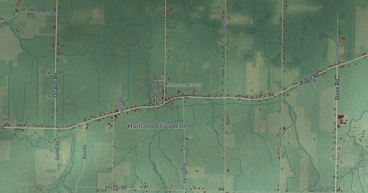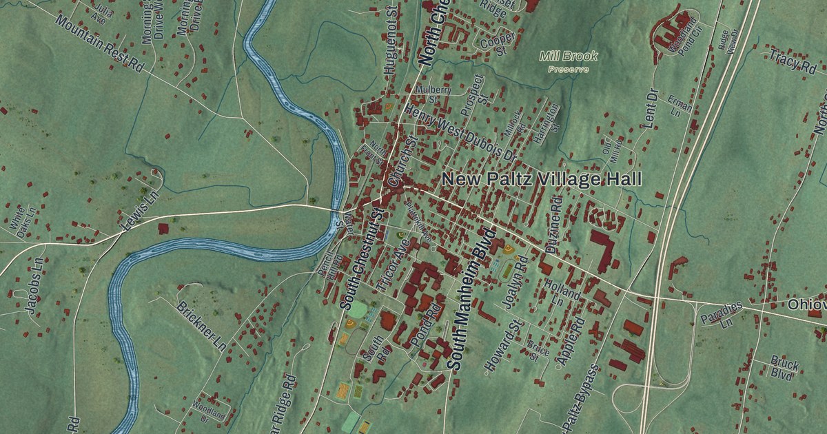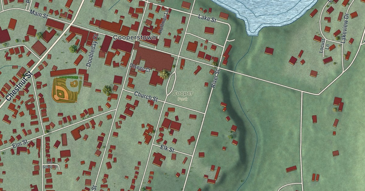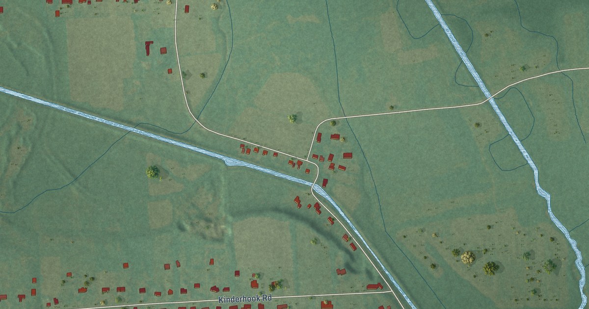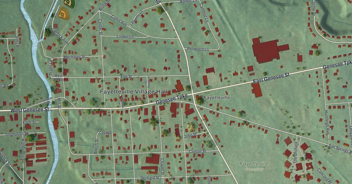
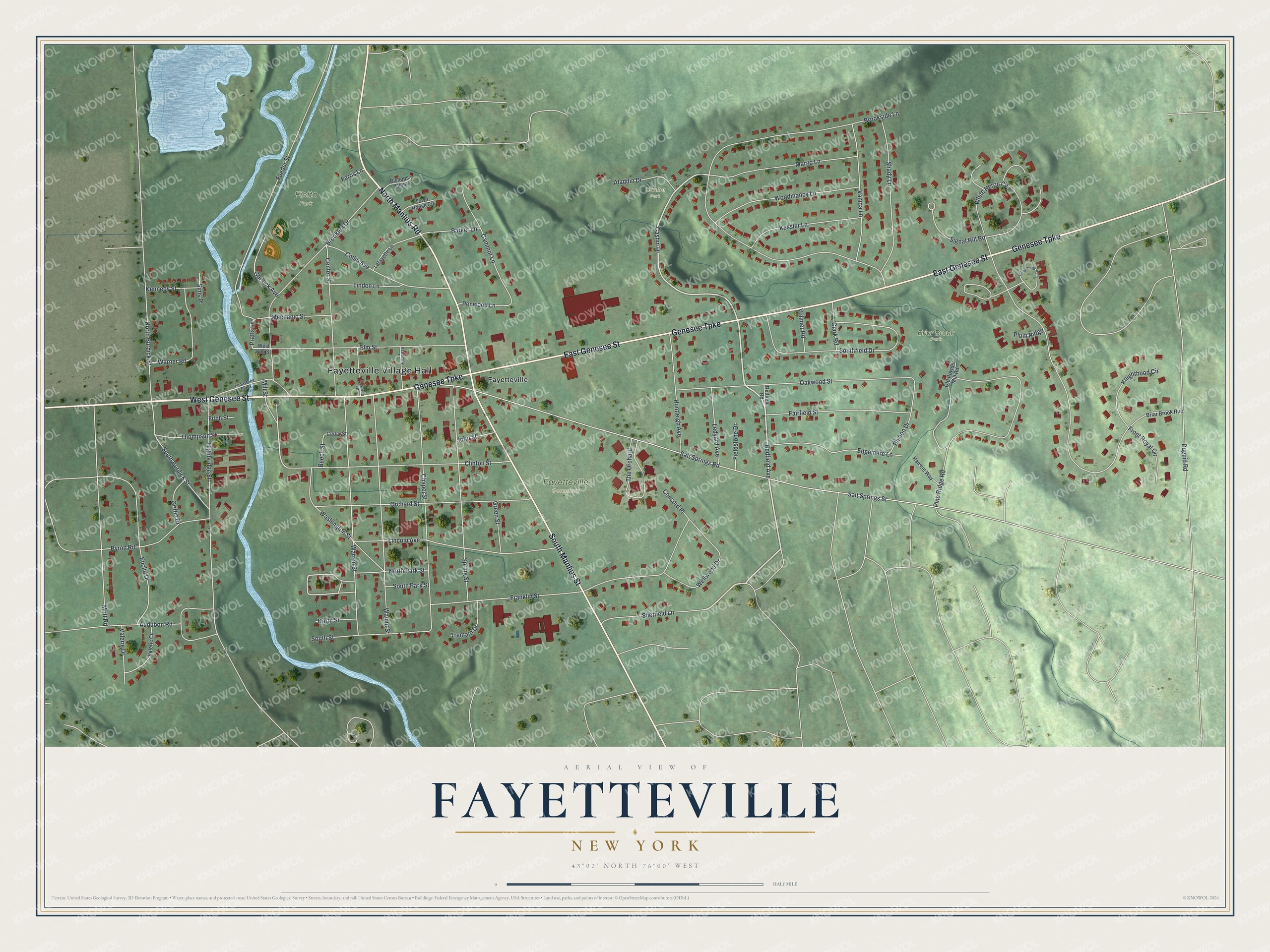
This beautifully detailed map of Fayetteville, New York was created in 2026 using aerial imagery combined with modern topographical, census, street and landmark data. It’s a one-of-a-kind view of Fayetteville that combines accurate data with a vintage aesthetic. The map shows every building in its true location, many of the roads carry their names, and the shaded topographic relief shows the shape of the land.
Explore an aerial view of Fayetteville, New York
On the map you’ll find Fayetteville Village Hall, Briar Brook Park, Fietta Park, and Coulter Park, along with Genesee Street, Genesee Turnpike, Manlius Street, Manlius Road, and more. If you look closely you can even find your house accurately drawn in its correct location. Zoom in on the preview to look for yours.
Did You Know?
Fayetteville takes its name from the Marquis de Lafayette, honored as a hero in both France and the United States. Settlers first came in 1792. The community became an incorporated village in 1844.
Take a closer look at the Fayetteville map
Names on this map
These names are printed on this map.
Places: Fayetteville Village Hall, Fayetteville Cemetery, Briar Brook Park, Fietta Park, Coulter Park and Fayetteville.
Streets and roads: West Genesee Street, Genesee Turnpike, East Genesee Street, South Manlius Street, North Manlius Road, Redfield Avenue, Cashin Drive, Pratts Lane, Mill Street, White Heron Circle, Salt Springs Road, Salt Springs Street.
More street names, A to Z
Academy Street, Aladdin Drive, Audubon Road, Barker Lane, Beech Street, Bishop Drive, Bishops Glen, Briar Brook Run, Brooklea Drive, Brookside Lane, Byron Road, Cammot Lane, Cedar Street, Center Street, Chapel Street, Clark Road, Clinton Street, Collin Avenue, Concord Place, Duguid Road, Edgemere Lane, Edwards Lane, Elm Street, Euclid Drive, Fairfield Street, Faling Brook Path, Feeder Street, Ferris Lane, Fieldstone Drive, Fitch Street, Franklin Street, Front Royal Circle, Garlock Avenue, Green Street, Griffin Drive, Hanson Way, Highbridge Street, Huntleigh Avenue, John Street, Kennedy Street, Kessler Lane, Knighthood Circle, Lafayette Lane, Ledyard Avenue, Limestone Plaza, Lincoln Avenue, Linden Lane, Margo Lane, Mechanic Street, Mott Road, North Burdick Street, North Park Street, North Street, Oakwood Street, Old Powder Mill Road, Orchard Street, Penwood Lane, Pine Ridge Road, Plum Ridge, Redfield Road, Shady Lane, Sheffield Lane, Signal Hill Road, Sims Place, South Burdick Street, Southfield Drive, South Park Street, South Street, Spring Street, The Orchard, Thompson Street, Town House Circle, Tremain Drive, Valerie Circle, Valerie Drive, Vanida Lane, Vollmer Road, Walnut Street, Warner Road, Warren Street, Washington Street, Wellwood Drive, West Elm Street, Woodmancy Lane.
See it on a wall
The Fayetteville map as a framed print. Swipe for more.


This beautifully detailed map of Fayetteville makes an attractive addition to your office, library, or den, and it can even be used to teach children the geography and history of the area. It also makes a great gift for anyone who grew up in Fayetteville or moved away. When you’re done exploring, click here to get your copy of the Fayetteville map.