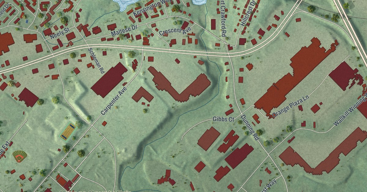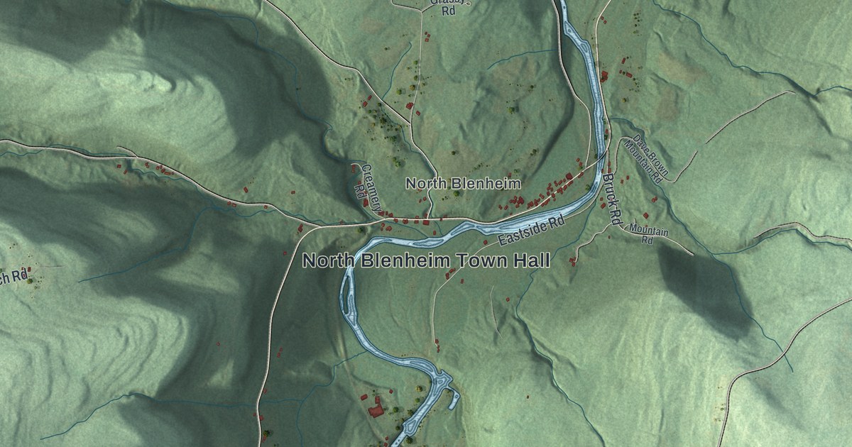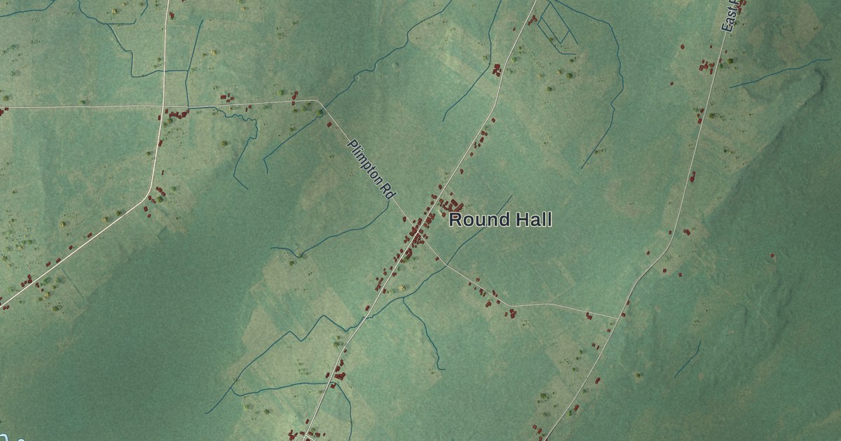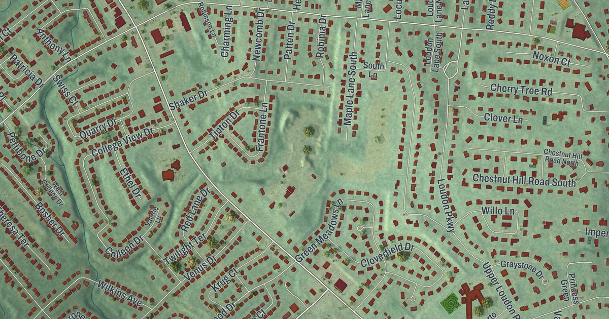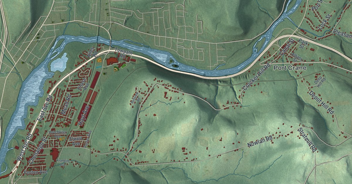
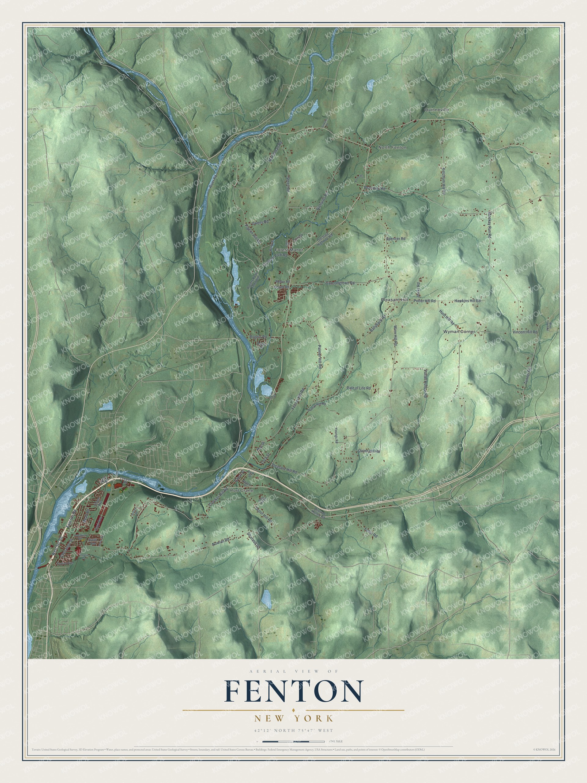
This beautifully detailed map of Fenton, New York was created in 2026 using aerial imagery combined with modern topographical, census, street and landmark data. It’s a one-of-a-kind view of Fenton that combines accurate data with a vintage aesthetic. The map shows every building in its true location, many of the roads carry their names, and the shaded topographic relief shows the shape of the land.
Explore an aerial view of Fenton, New York
On the map you’ll find North Fenton, Pleasant Hill, Port Crane, Quinneville, and Wyman Corner, along with Chenango Street, Svc Road, Hawkins Hill Road, Ballyhack Road, Nowlan Road, and more. If you look closely you can even find your house accurately drawn in its correct location. Zoom in on the preview to look for yours.
Did You Know?
The town honors Reuben Fenton, a governor of New York. Port Crane was formed from Chenango in 1855, and the larger town of Fenton followed in 1867. The Chenango Canal brought good times starting in 1834. Railroads later replaced the canal but skipped the town, and Port Crane lost its prosperity.
Take a closer look at the Fenton map
Names on this map
These names are printed on this map.
Places: Forest Manor, North Fenton, Pleasant Hill, Port Crane, Quinneville and Wyman Corner.
Streets and roads: Chenango Street, West Svc Road, Hawkins Hill Road, Ballyhack Road, Nowlan Road, Beartown Road, Monkey Run Road, Pleasant Hill Road, Crocker Hill Road, Pigeon Hill Road, Hunt Hill Road, Richards Road.
More street names, A to Z
Albany Street, Bellview Road, Bonna Drive, Brookside Lane, Canal Street, Carol Court, Chase Avenue, Cv State Park Road, Deep Hill Road, Depot Hill Road, Dumas Hill Road, East Svc Road, Elwell Avenue, Fenner Hill Road, Fenton Avenue, Franklin Avenue, Fuller Road, Ganoungtown Road, Gould Road, Hotchkiss Avenue, Hoyt Avenue, Jenks Road, Ketchum Hill Road, Lock Street, Lori Drive, Marshman Road, Mead Road, Moot Town Road, Niles Road, Old Route 369, Old State Highway 369, Osborne Hollow Road, Owens Road, Palmer Hill Road, Park Street, Path of Life Road, Porter Avenue, Porter Hollow Road, Port Street, Potter Hill Road, Quinn Hill Road, River Road, Rogers Road, Rogers Road Extended, Spencer Road, Steed Road, Stillwater Road, Stratmill Road, Towpath Road, Tunnel Road, Vincent Hill Road, Walnut Street, Weber Road, Winn Hill Road, Youngs Road.
See it on a wall
The Fenton map as a framed print. Swipe for more.


This beautifully detailed map of Fenton makes an attractive addition to your office, library, or den, and it can even be used to teach children the geography and history of the area. It also makes a great gift for anyone with Fenton roots. When you’re done exploring, click here to get your copy of the Fenton map.