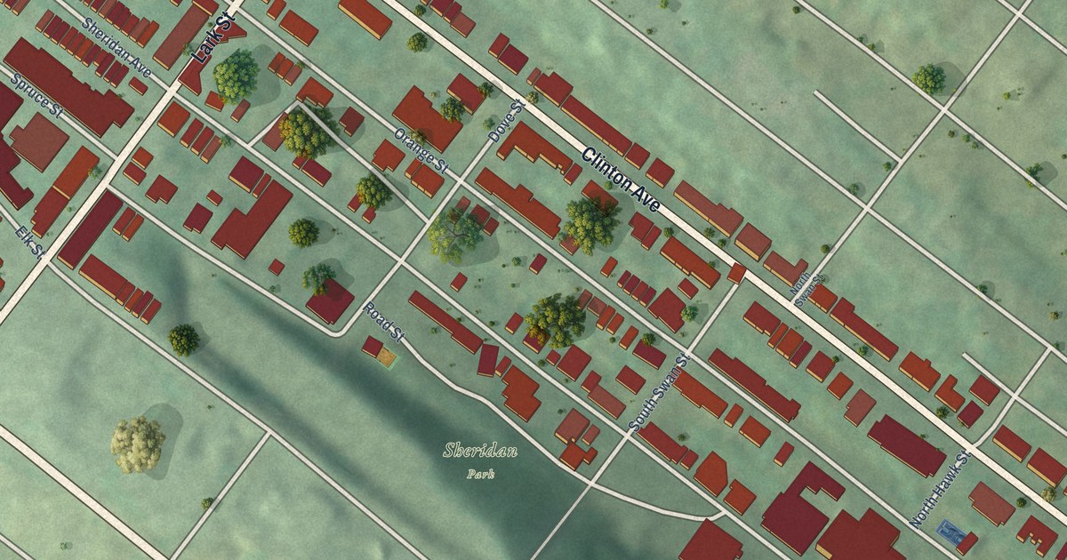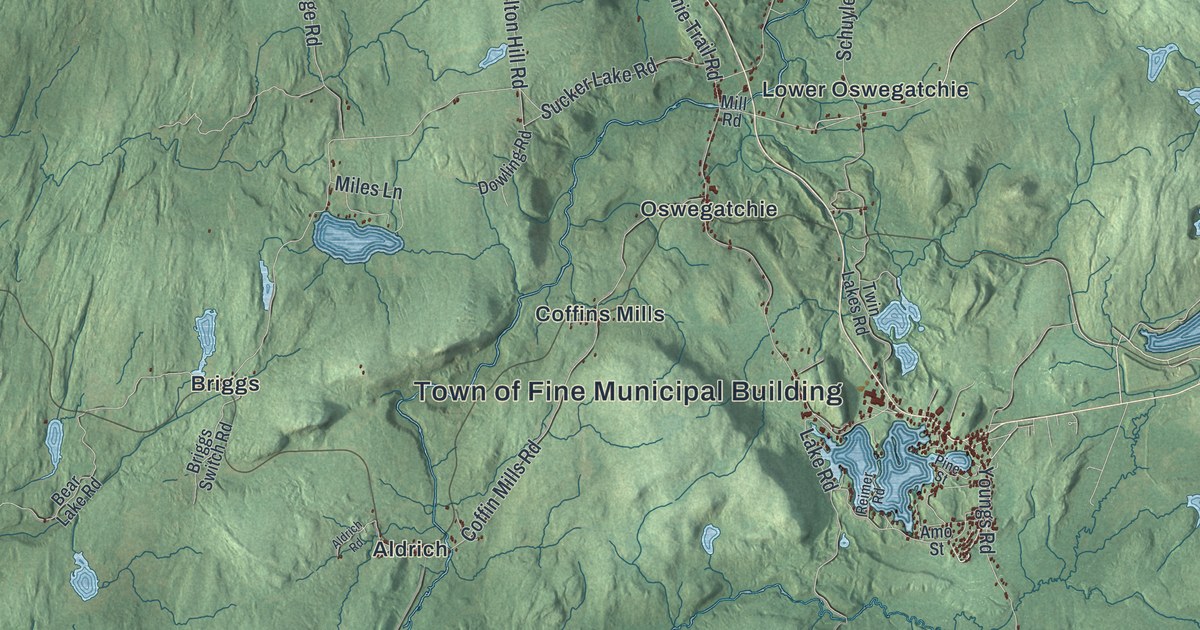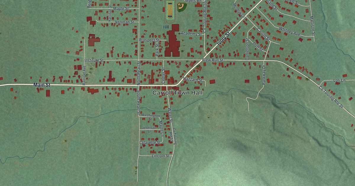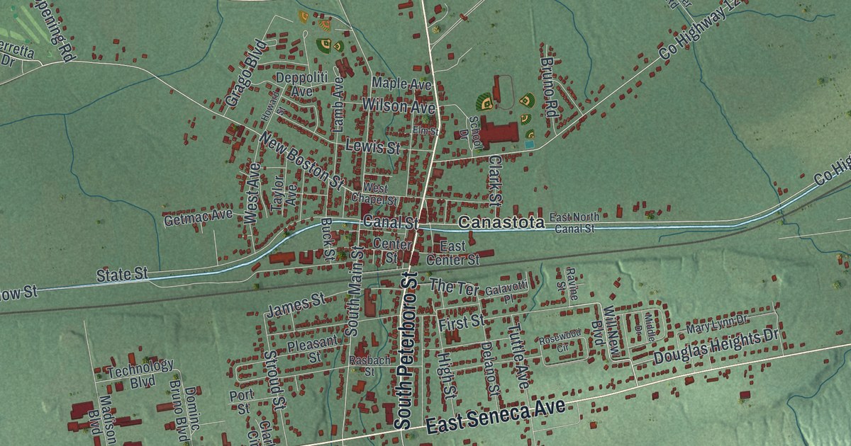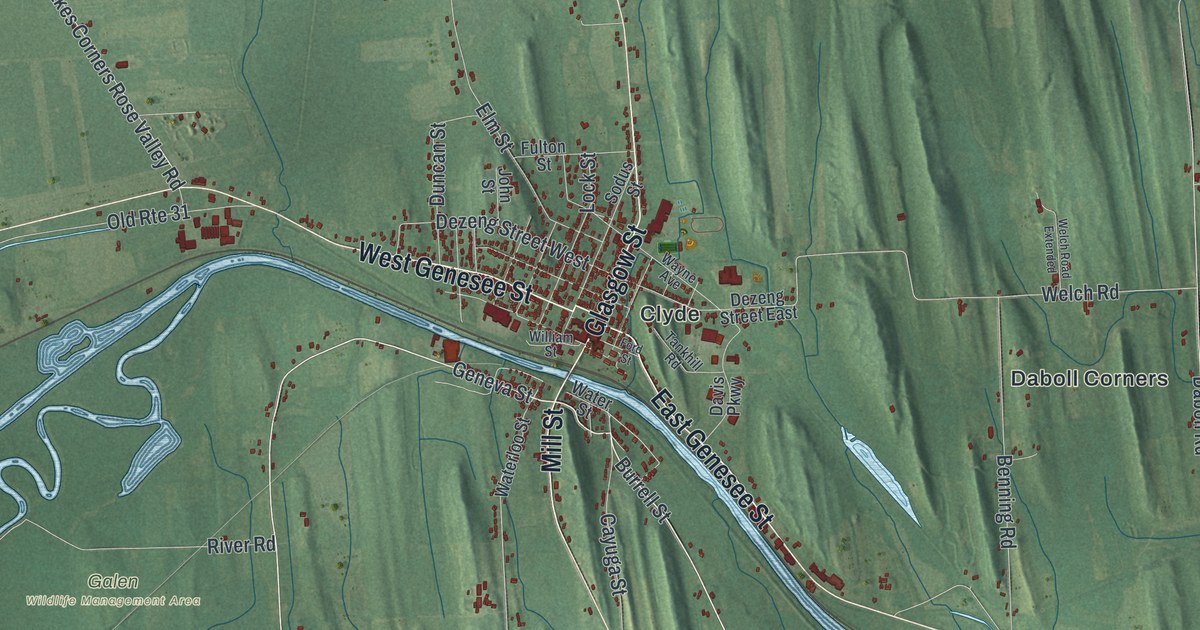
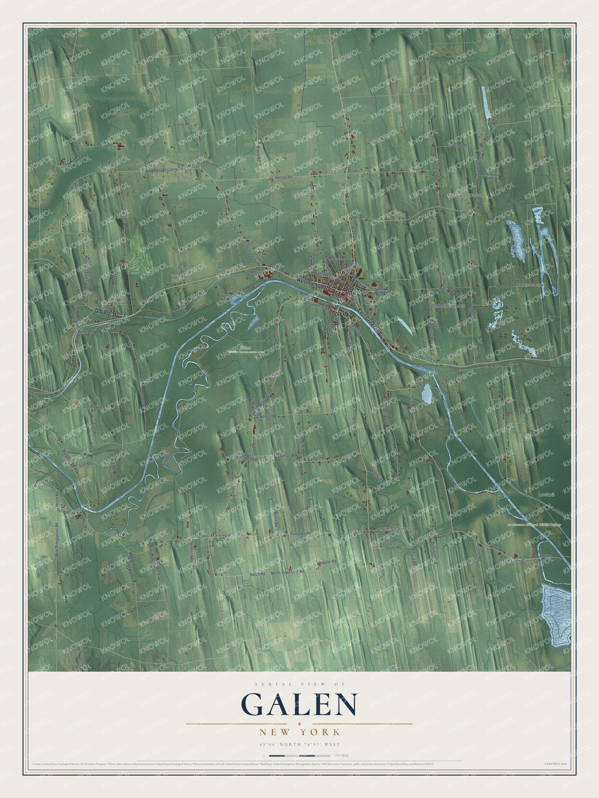
This beautifully detailed map of Galen, New York was created in 2026 using aerial imagery combined with modern topographical, census, street and landmark data. It’s a one-of-a-kind view of Galen that combines accurate data with a vintage aesthetic. The map shows every building in its true location, many of the roads carry their names, and the shaded topographic relief shows the shape of the land.
Explore an aerial view of Galen, New York
On the map you’ll find Lockpit, Shepards Corner, Angells Corner, Clyde, Daboll Corners, and Montezuma National Wildlife Refuge, along with Glasgow Street, Genesee Street, Mill Street, Geneva Street, Tyre Road, and more. If you look closely you can even find your house accurately drawn in its correct location. Zoom in on the preview to look for yours.
Did You Know?
The town is named for Galen, the classical physician. Its land lay in a section reserved for physicians and surgeons who served in the Colonial Army. That land belonged to the Central New York Military Tract. It was used to pay soldiers of the Revolution. Galen was formed from Junius in 1812.
Take a closer look at the Galen map
Names on this map
These names are printed on this map.
Places: Lockpit, Shepards Corner, Galen Wildlife Management Area, Montezuma National Wildlife Refuge, Angells Corner, Clyde, Daboll Corners, Lock Berlin, Marengo, Munsons Corner and Noble Corner.
Streets and roads: Old Route 31, Glasgow Street, East Genesee Street, West Genesee Street, Mill Street, Geneva Street, Tyre Road, Burrell Street, Clyde Marengo Road, Hatch Road, North Town Line Road, Lock Berlin Road.
More street names, A to Z
Anstee Road, Armitage Road, Benning Road, Bentley Road, Brand Road, Brown Road, Burch Road, Cain Road, Cayuga Street, Clyde Hunts Corners Road, Conroe Road, Daboll Road, Davis Parkway, Desmond Road, Dezeng Street East, Dezeng Street West, Dickinson Road, Duncan Street, Elmer Road, Elm Street, Eyer Road, Feek Road, Foote Road, Ford Street, Fulton Street, Galen Road, Gannett Road, Gansz Road, Gary Road, Glover Road, Heit Road, Helch Road, Highland Fruit Farm Road, High Street, Jenkins Road, John Street, Kaiser Road, Kelsey Road, Lakes Corners Rose Valley Road, Lamb Road, Lasher Road, Lind Road, Livingston Road, Lockpit Road, Lock Road, Lock Street, Lyons Marengo Road, Malchoff Road, Marble Road, Nelson Road, New Preemption Road, Noble Road, Perry Road, Peters Road, Powers Road, River Road, Salerno Road, Schwab Road, Shepard Road, Smith Road, Sodus Street, Stell Road, Stokes Road, Storms Road, Strong Road, Sunderville Road, Tankhill Road, Terpening Road, Travell Knapps Corners Road, Turnpike Road, Waterloo Street, Water Street, Watson Road, Wayne Avenue, Wayne Center Road, Welch Road, Welch Road Extended, Wheeler Road, William Street.
See it on a wall
The Galen map as a framed print. Swipe for more.


This beautifully detailed map of Galen makes an attractive addition to your office, library, or den, and it can even be used to teach children the geography and history of the area. It also makes a great gift for anyone who grew up in Galen or moved away. When you’re done exploring, click here to get your copy of the Galen map.