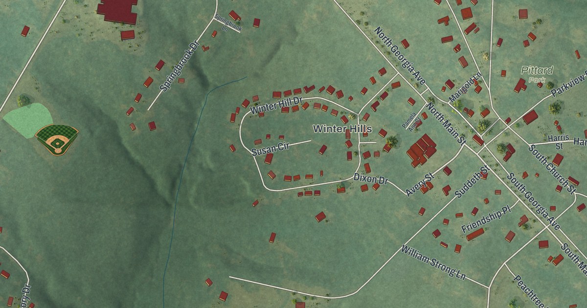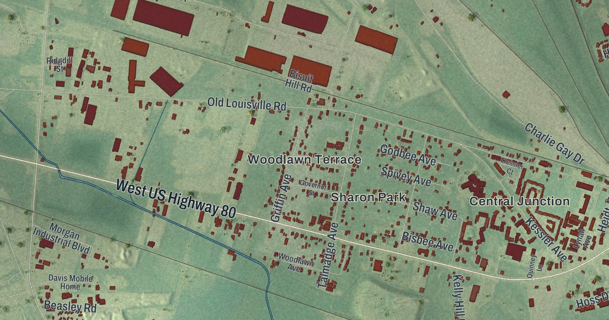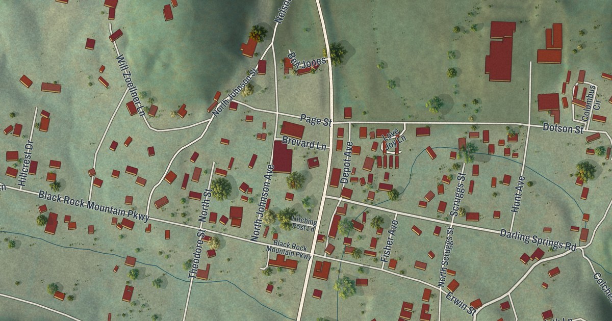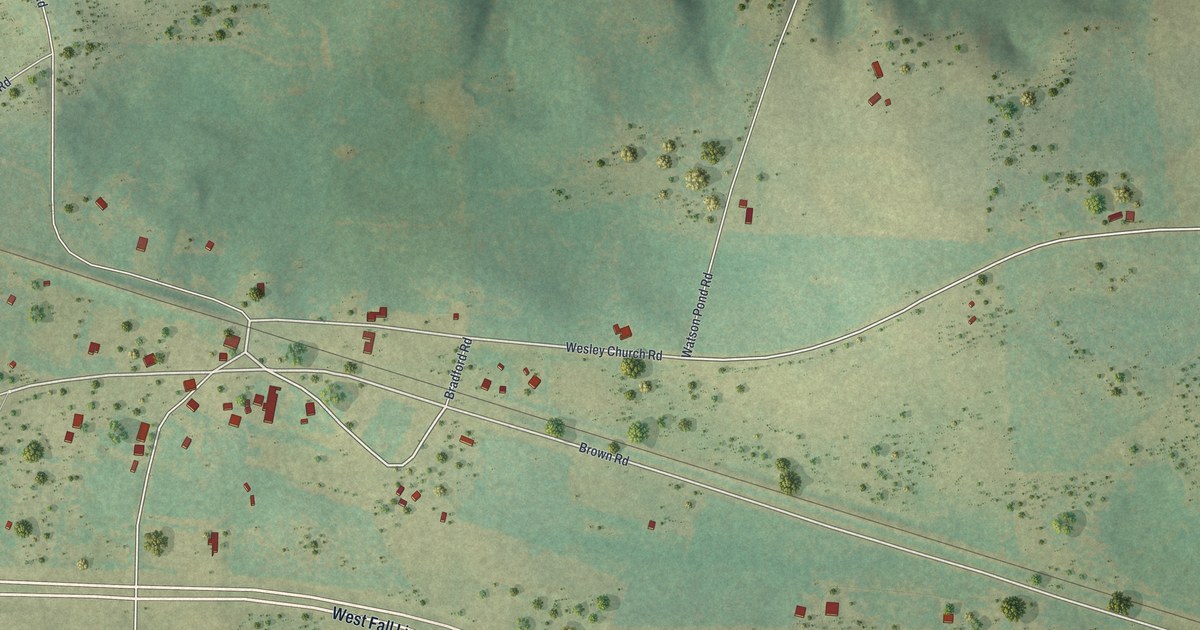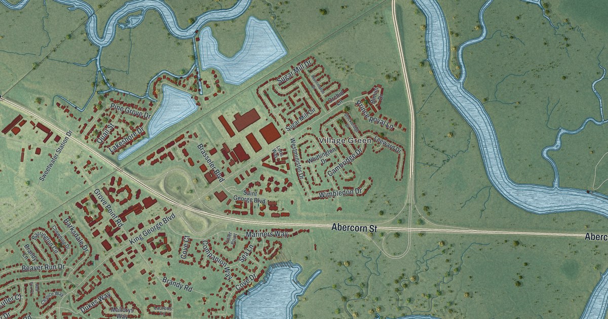
This beautifully detailed map of Georgetown, Georgia was created in 2026 using aerial imagery combined with modern topographical, census, street and landmark data. It’s a one-of-a-kind view of Georgetown that combines accurate data with a vintage aesthetic. The map shows every building in its true location, many of the roads carry their names, and the shaded topographic relief shows the shape of the land.
Explore an aerial view of Georgetown, Georgia
On the map you’ll find Abercorn Extention, Ogeechee Farms, Burroughs, and Village Green, along with Abercorn Street, Ogeechee Road, Atlantic Coastal Highway, Beaufort Road, and more. If you look closely you can even find your house accurately drawn in its correct location. Zoom in on the preview to look for yours.
Take a closer look at the Georgetown map
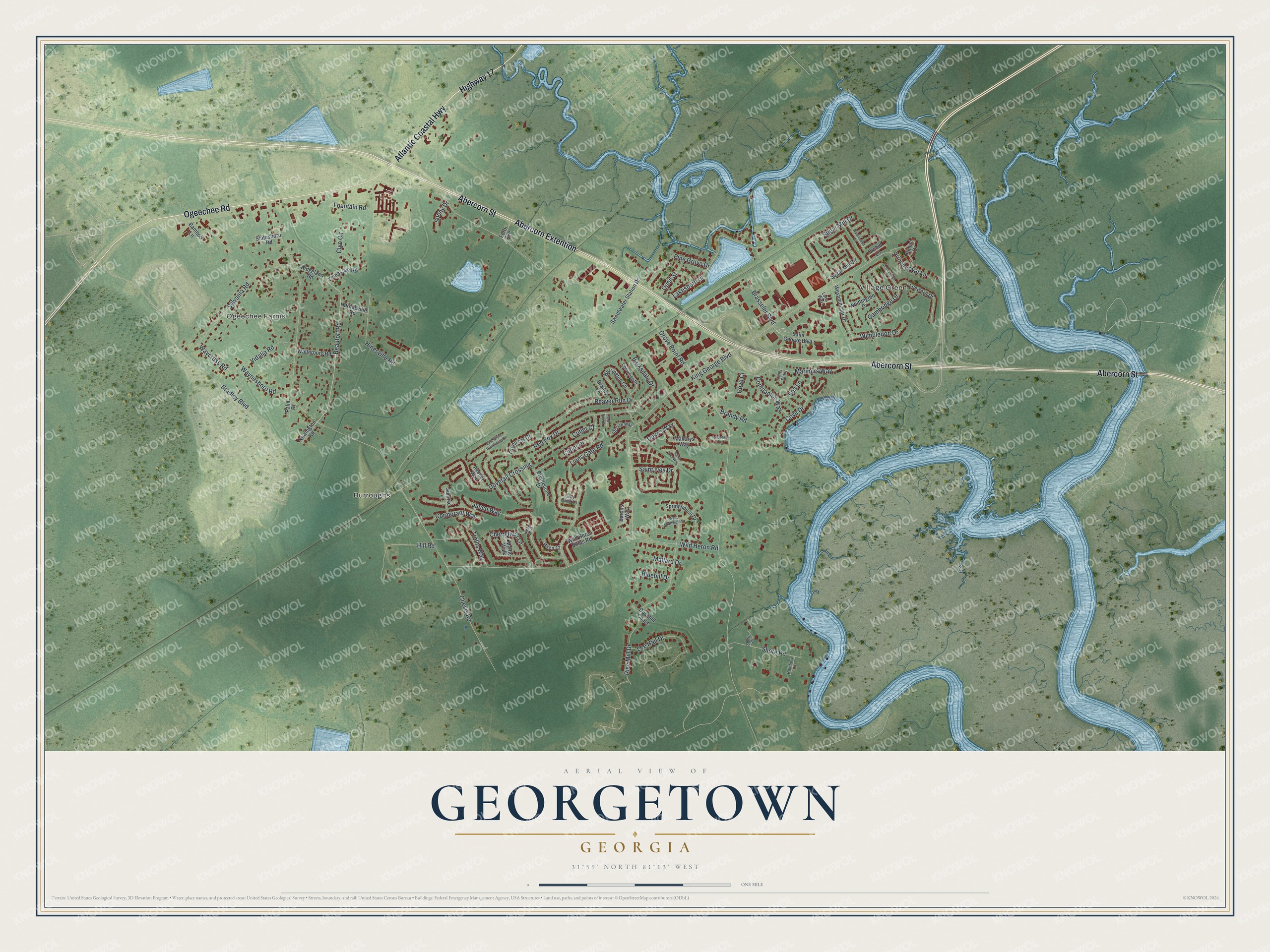
Names on this map
These names are printed on this map.
Places: Ogeechee Farms, Burroughs and Village Green.
Streets and roads: Abercorn Street, Ogeechee Road, Abercorn Extention, Atlantic Coastal Highway, Highway 17, Beaufort Road, Grove Point Road, Chevis Road, King George Boulevard, Wild Heron Road, Red Fox Drive, Lions Gate Road.
More street names, A to Z
Avocet Way, Bamboo Lane, Barksdale Drive, Barons Way, Barrington Circle, Beaver Run Drive, Bimini Drive, Bluebill Drive, Bradley Boulevard, Brandy Lane, Brandy Road, Brasseler Boulevard, Bristlecone Drive, Cambridge Drive, Chalice Way, Cherryfield Lane, Chowning Drive, Clyo Circle, Companion Way, Cormorant Way, Cove Court, Cove Drive, Cutler Court, Cutler Drive, Dovetail Crossing, Duckbill Chase, Dukes Way, East White Hawthorne Drive, Ford Avenue, Fountain Road, Gray Brick Lane, Green Iris Court, Hardeeville Road, Hill Road, Hinesville Road, Ibis Way, Junco Way, Lakeshore Drive, Laurens Lane, Lee Hall Drive, Leeward Drive, Lotts Way, Mallard Drive, Mallorys Way, Mariners Way, Myrtle Walk, Newington Road, Orchid Lane, Palm Drive, Pine Grove Drive, Prince Royal Lane, Quail Street, Rainbow Lane, Red Fox Court, Rice Mill Drive, Ridgeland Road, Rivermarsh Drive, Saint George Boulevard, Saint Ives Drive, Saint Ives Way, Sea Lane, Shore Court, Shore Road, Springhouse Drive, Statesboro Road, Stockbridge Drive, Sugar Mill Circle, Sugar Mill Drive, Sunny Drive, Sunrise Lane, Sweetwater Station Drive, Sylvania Road, Tiller Point, Trellis Way, Vidalia Road, Walterboro Road, Waycross Road, Waynesboro Road, Westminister Drive, West Southfield Drive, Whittington Drive, Wild Heron Villas Road, Wimbledon Drive, Wren Court, Yemassee Road.
See it on a wall
The Georgetown map as a framed print. Swipe for more.


This beautifully detailed map of Georgetown makes an attractive addition to your office, library, or den, and it can even be used to teach children the geography and history of the area. It also makes a great gift for someone who left Georgetown and still calls it home. When you’re done exploring, click here to get your copy of the Georgetown map.