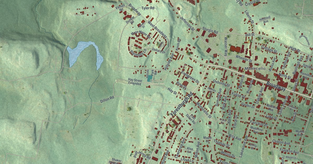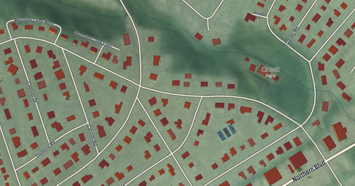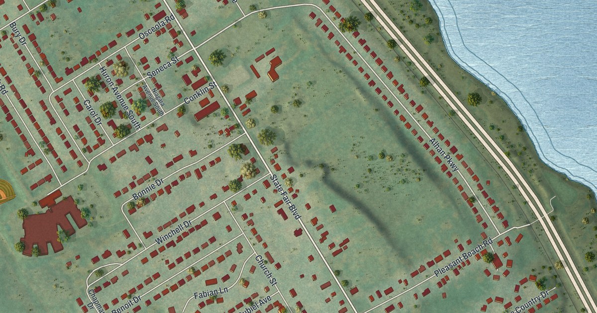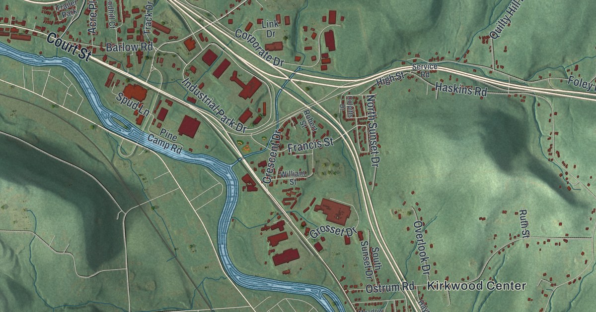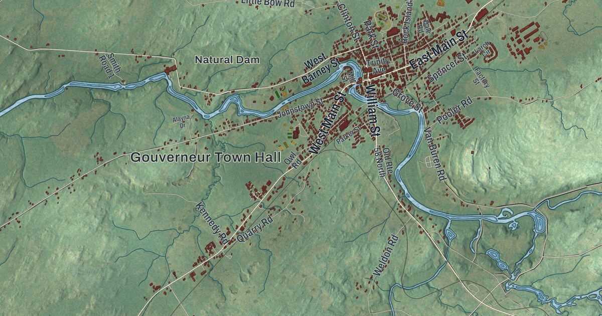
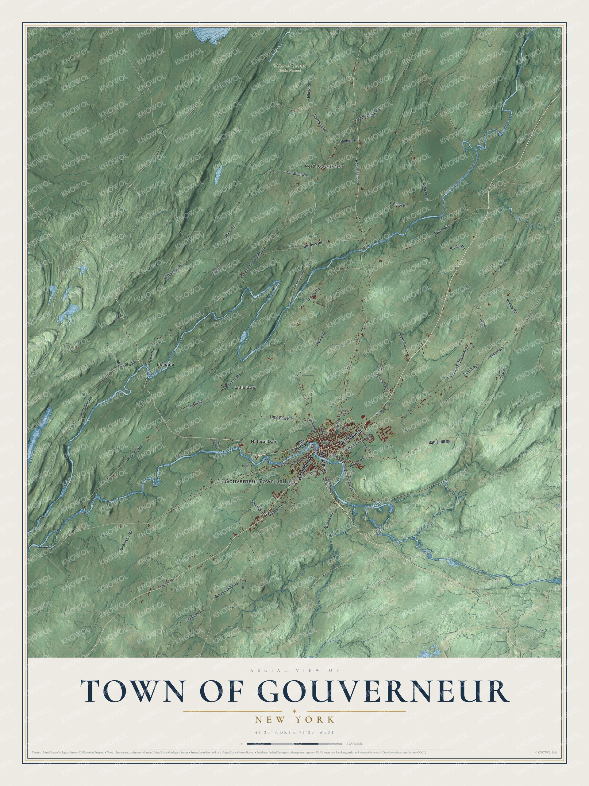
This beautifully detailed map of the Town of Gouverneur, New York was created in 2026 using aerial imagery combined with modern topographical, census, street and landmark data. It’s a one-of-a-kind view of the Town of Gouverneur that combines accurate data with a vintage aesthetic. The map shows every building in its true location, many of the roads carry their names, and the shaded topographic relief shows the shape of the land.
Explore an aerial view of the Town of Gouverneur, New York
On the map you’ll find Gouverneur Town Hall, Elmdale, Little Bow, Natural Dam, North Gouverneur, and Beaver Creek State Forest, along with Main Street, William Street, Barney Street, Peabody Road, and more. If you look closely you can even find your house accurately drawn in its correct location. Zoom in on the preview to look for yours.
Did You Know?
This town honors statesman and landowner Gouverneur Morris. Settlers arrived around 1805, and the town formed in 1810. The War of 1812 slowed its growth, but it picked up quickly afterward. Mining for marble, talc and zinc helped build the local economy.
Take a closer look at the Town of Gouverneur map
Names on this map
These names are printed on this map.
Places: Gouverneur Town Hall, Beaver Creek State Forest, Elmdale, Little Bow, Natural Dam and North Gouverneur.
Streets and roads: West Main Street, William Street, East Main Street, Peabody Road, Clinton Street, Rock Island Road, Seavey Road, Beaman Road, Cream of the Valley Road, Gravel Road, Welch Road, Battle Hill Road.
More street names, A to Z
Airport Lane, Alayna Drive, Beach Road, Billings Road, Bilow Road, Bristol Road, Callaway Heights, Cambray Street, Campbell Road, Crystal Springs Road, Dailey Road, Dale Road, Dane Road, Dodds Road, Drive, Factory Street, Fox Farm Road, Gallagher Road, Gilbert Road, Grove Street, Hermon Road, Hermtown Road, Johnstown Street, Kearney Road, Kennedy Road, Lamb Road, Larch Circle, Lead Mine Road, Little Bow Road, Little Brant Road, Lockie Road, Maple Ridge Road, McAllister Road, Mill Street, Morrison Road, Old Route 11, Old Route 58 North, Owl Road, Parker Street, Park Street, Phelps Road, Pooler Road, Quarry Road, Rock Island Street, Scotch Settlement Road, Smith Road 1, Spencer Street, Spragueville Road, Stammer Road, Stevens Road, Trinity Avenue, Van Buren Road, Walker Road, Weldon Road, West Barney Street, Yellow Lake Road.
See it on a wall
The Gouverneur map as a framed print. Swipe for more.


This beautifully detailed map of the Town of Gouverneur makes an attractive addition to your office, library, or den, and it can even be used to teach children the geography and history of the area. It also makes a great gift for anyone who grew up in the Town of Gouverneur or moved away. When you’re done exploring, click here to get your copy of the Town of Gouverneur map.