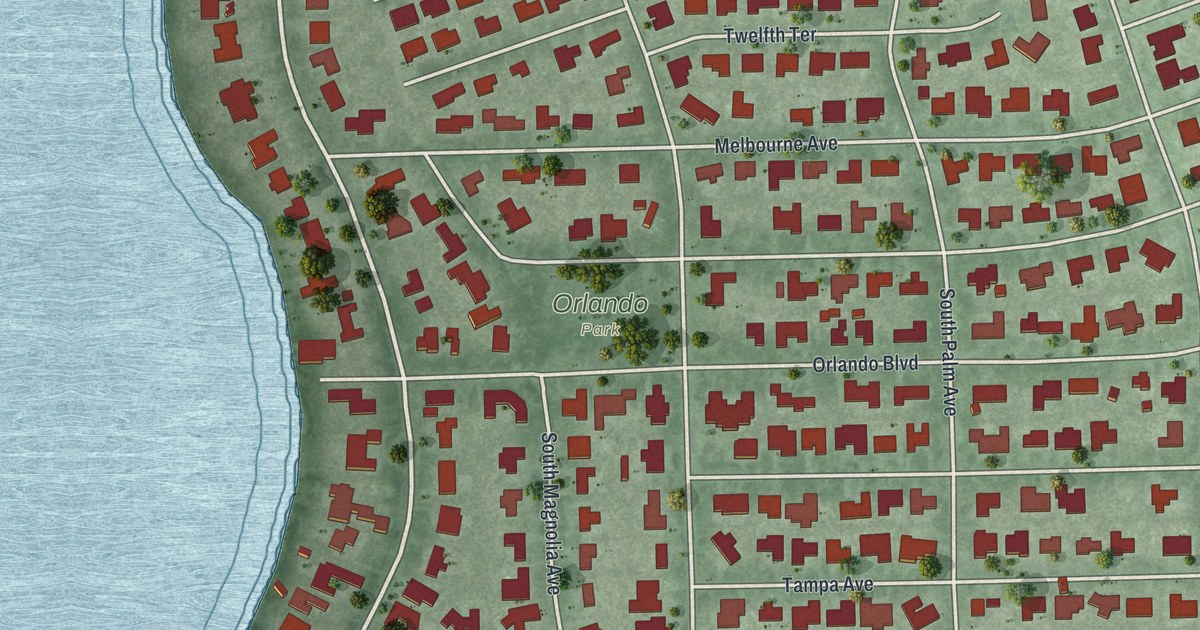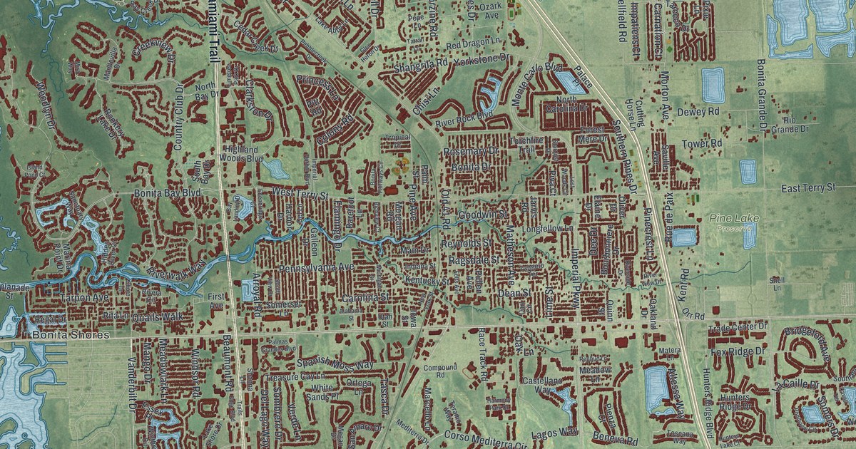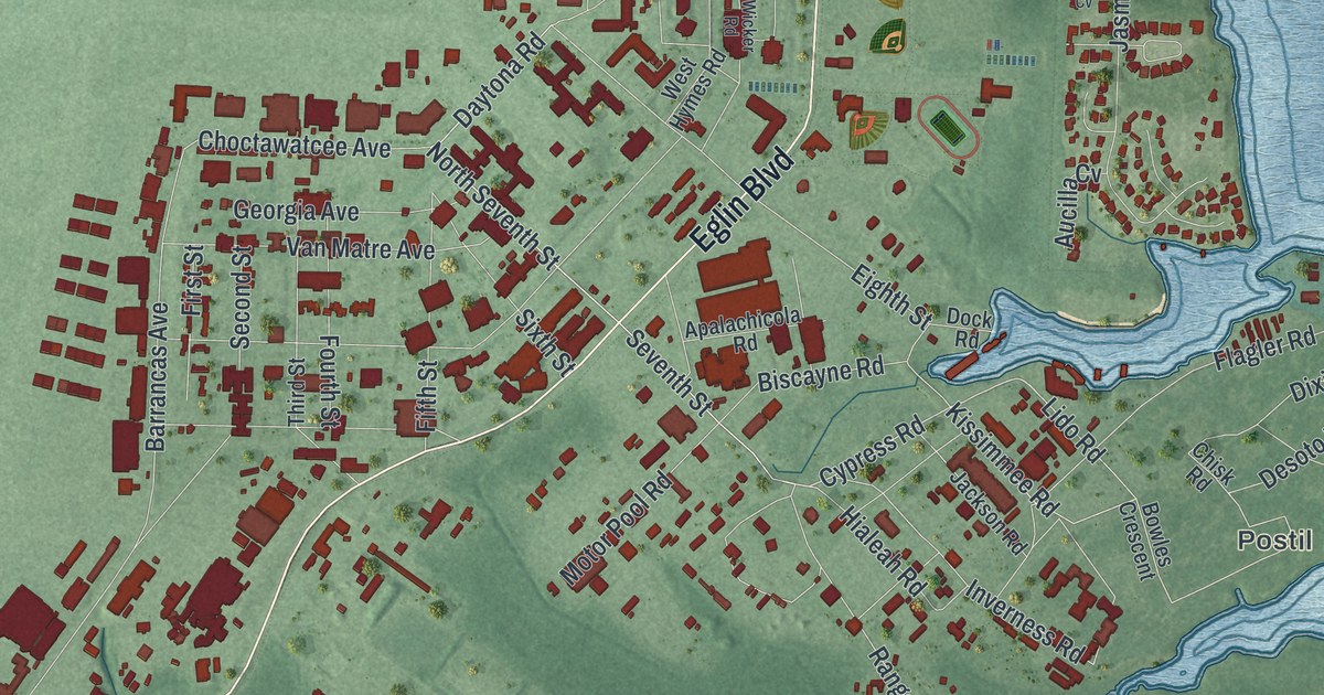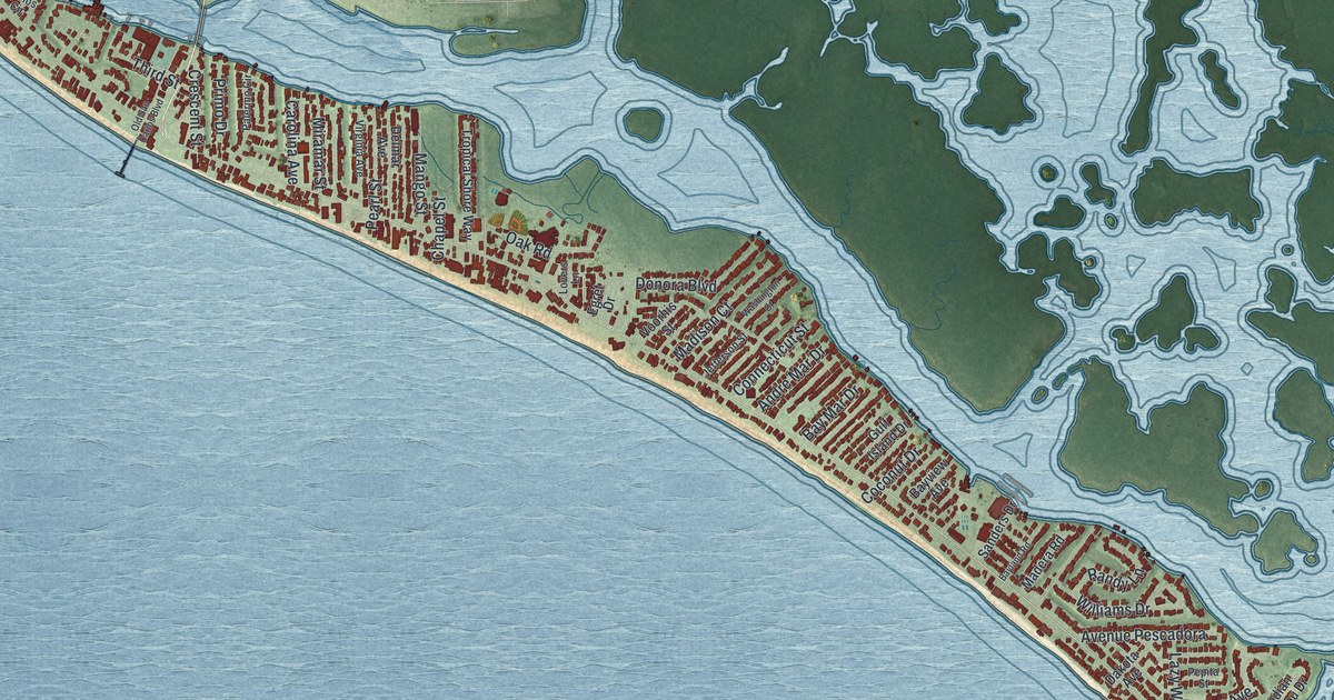
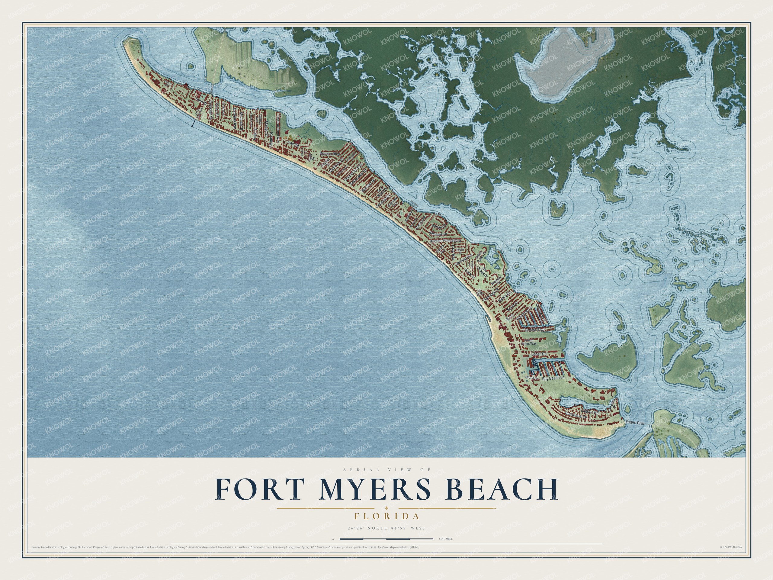
This beautifully detailed map of Fort Myers Beach, Florida was created in 2026 using aerial imagery combined with modern topographical, census, street and landmark data. It’s a one-of-a-kind view of Fort Myers Beach that combines accurate data with a vintage aesthetic. The map shows every building in its true location, many of the roads carry their names, and the shaded topographic relief shows the shape of the land.
Explore an aerial view of Fort Myers Beach, Florida
On the map you’ll find Avenue Pescadora, along with Estero Boulevard, Albatross Street, Bay Beach Lane, Williams Drive, Buccaneer Drive, Donora Boulevard, Fairview Boulevard, Lagoon Road, Lenell Road, Mango Street, Madison Court, and more. If you look closely you can even find your house accurately drawn in its correct location. Zoom in on the preview to look for yours.
Did You Know?
In the 1950s, pink shrimp known as pink gold were found off the island, then called Crescent Beach. The catch launched a shrimping industry and the businesses that served it. The population grew by half during this boom.
Take a closer look at the Fort Myers Beach map
Names on this map
These names are printed on this map.
Streets and roads: Estero Boulevard, Albatross Street, Bay Beach Lane, Williams Drive, Buccaneer Drive, Donora Boulevard, Fairview Boulevard, Lagoon Road, Lenell Road, Mango Street, Avenue Pescadora, Madison Court.
More street names, A to Z
Andre Mar Drive, Bahia Via, Bayland Road, Bay Mar Drive, Bayview Avenue, Bayview Boulevard, Bay Village Drive, Carlos Circle, Carolina Avenue, Chapel Street, Coconut Drive, Connecticut Street, Crescent Street, Dakota Avenue, Delmar Avenue, Dundee Road, Egret Drive, Egret Street, Estrellita Drive, Flamingo Street, Gloria Circle, Gulf Island Drive, Gulf Road, Ibis Street, Indian Bayou Drive, Island Pines Way, Jefferson Street, Lauder Street, Lazy Way, Lovers Lane, Madera Road, Miramar Street, Oak Road, Old San Carlos Boulevard, Palermo Circle, Pearl Street, Pepita Street, Primo Drive, Randy Lane, Sanders Drive, Sterling Avenue, Third Street, Tropical Shore Way, Virginia Avenue, Voorhis Street, Washington Court, Widgeon Terrace.
See it on a wall
The Fort Myers Beach map as a framed print. Swipe for more.


This beautifully detailed map of Fort Myers Beach makes an attractive addition to your office, library, or den, and it can even be used to teach children the geography and history of the area. It also makes a great gift for someone who left Fort Myers Beach and still calls it home. When you’re done exploring, click here to get your copy of the Fort Myers Beach map.