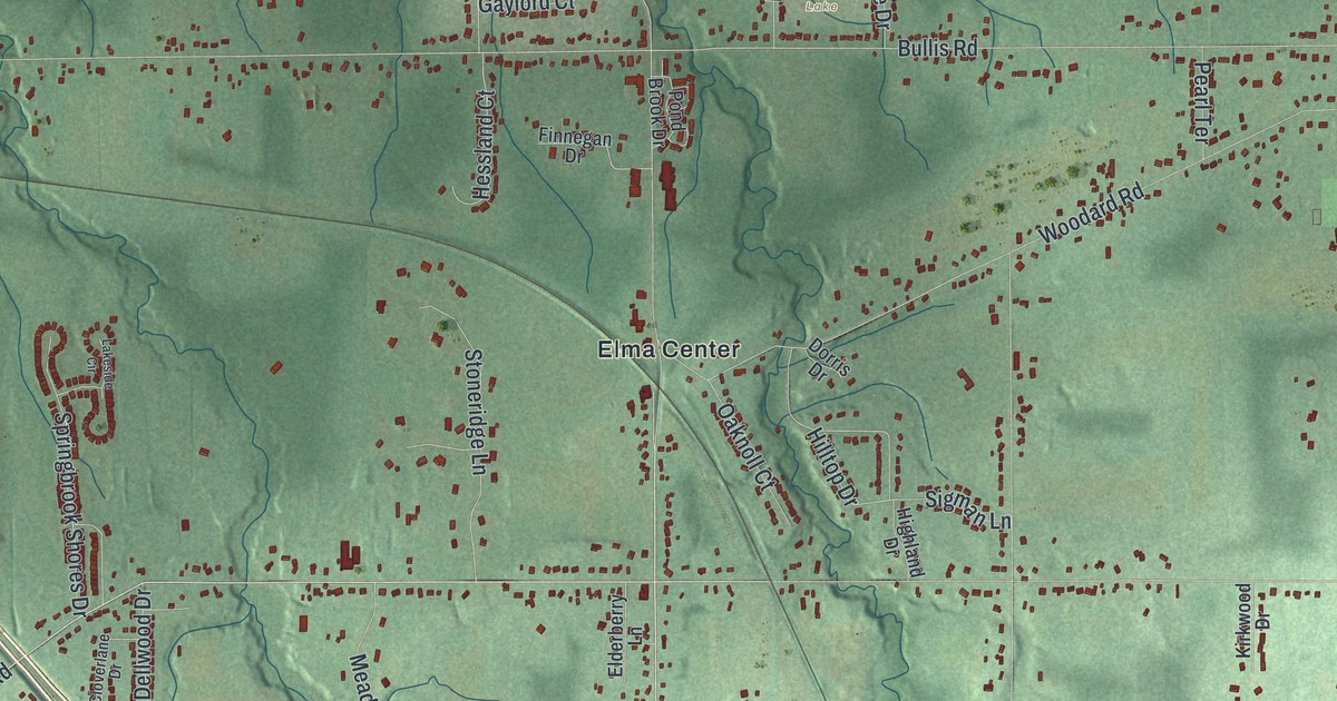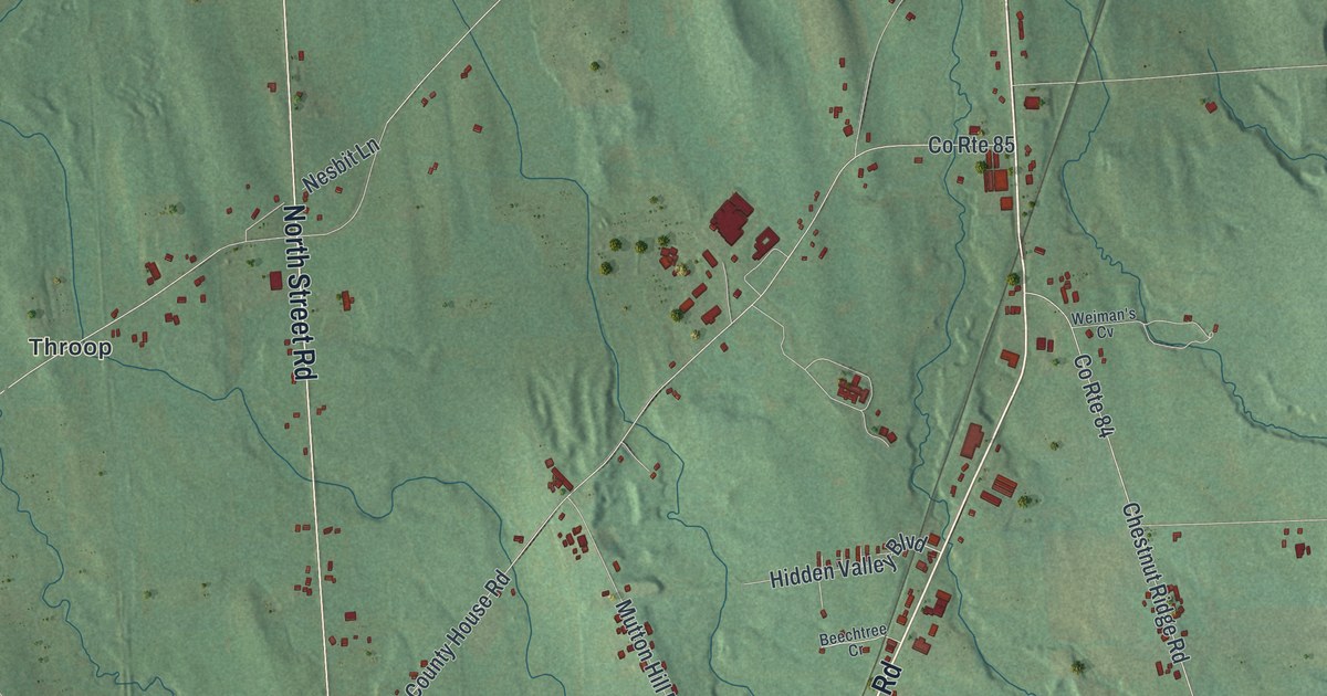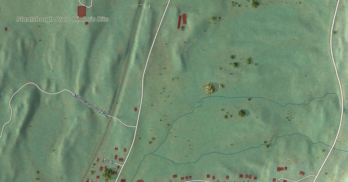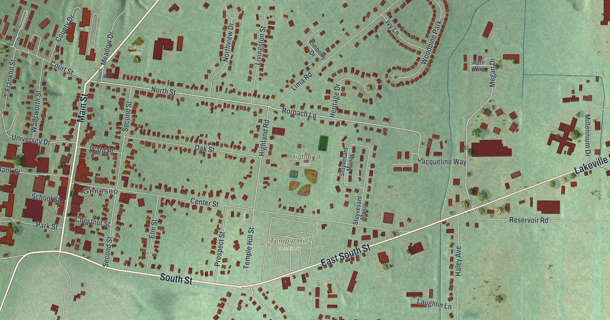
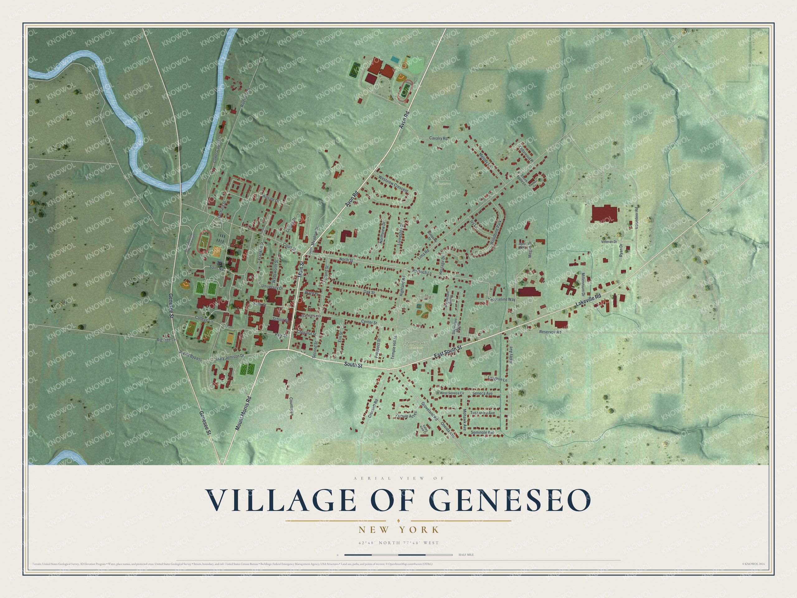
This beautifully detailed map of the Village of Geneseo, New York was created in 2026 using aerial imagery combined with modern topographical, census, street and landmark data. It’s a one-of-a-kind view of the Village of Geneseo that combines accurate data with a vintage aesthetic. The map shows every building in its true location, many of the roads carry their names, and the shaded topographic relief shows the shape of the land.
Explore an aerial view of the Village of Geneseo, New York
On the map you’ll find Highland Park, Island Preserve, and Temple Hill Cemetery, along with Avon Road, South Street, Mount Morris Road, Main Street, Genesee Street, and more. If you look closely you can even find your house accurately drawn in its correct location. Zoom in on the preview to look for yours.
Did You Know?
Brothers James and William Wadsworth came from Connecticut in 1790 to look after and sell land owned by their uncle, Colonel Jeremiah Wadsworth. Settlement began soon after they arrived. In 1797 Robert Morris and the Senecas negotiated the Treaty of Big Tree on this very site, and the brothers took part.
Take a closer look at the Village of Geneseo map
Names on this map
These names are printed on this map.
Places: Highland Park, Island Preserve, Temple Hill Cemetery, Kelsey Field, Geneseo and Woodbine Park.
Streets and roads: Avon Road, South Street, Mount Morris Road, East South Street, Main Street, Genesee Street, Lakeville Road, North Street, Groveland Road, Rorbach Lane, Megan Drive, Highland Road.
More street names, A to Z
April Way, Bank Street, Big Tree Lane, Cavalry Road, Cedarwood Place, Center Street, Chestnut Street, Church Street, College Circle, Country Lane, County Drive, Courtside Drive, Court Street, Crossett Road, Elm Street, Franklin Street, Haley Avenue, Hawthorn Circle, Heritage Drive, Hillside Drive, Ivy Lane, Jacqueline Way, Kimberly Drive, Laughlin Lane, Lima Road, Livingston Street, Lower Court Street, Mary Jemison Drive, Meadow Drive, Melody Lane, Millennium Drive, Mohawk Avenue, Northview Drive, Oak Street, Oneida Avenue, Orchard Street, Park Street, Prospect Street, Reservoir Road, Riverside Drive, Route 63 Bypass, Ryan Drive, Saint Ny, Saint University of Ny at Geneseo, School Street, Second Street, Seminole Avenue, Seneca Avenue, Stuyvesant Manor, Temple Acres, Temple Hill Street, Thorn Apple Lane, Tuscarora Avenue, University Drive, Valley View Court, Veteran Drive, Volunteer Road, Wadsworth Street, Ward Place, West Seneca Circle, Westview Crescent.
See it on a wall
The Geneseo map as a framed print. Swipe for more.


This beautifully detailed map of the Village of Geneseo makes an attractive addition to your office, library, or den, and it can even be used to teach children the geography and history of the area. It also makes a great gift for someone who left the Village of Geneseo and still calls it home. When you’re done exploring, click here to get your copy of the Village of Geneseo map.