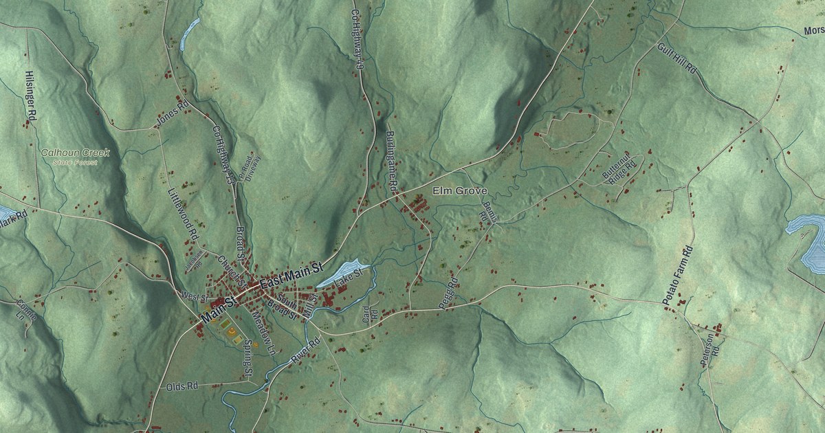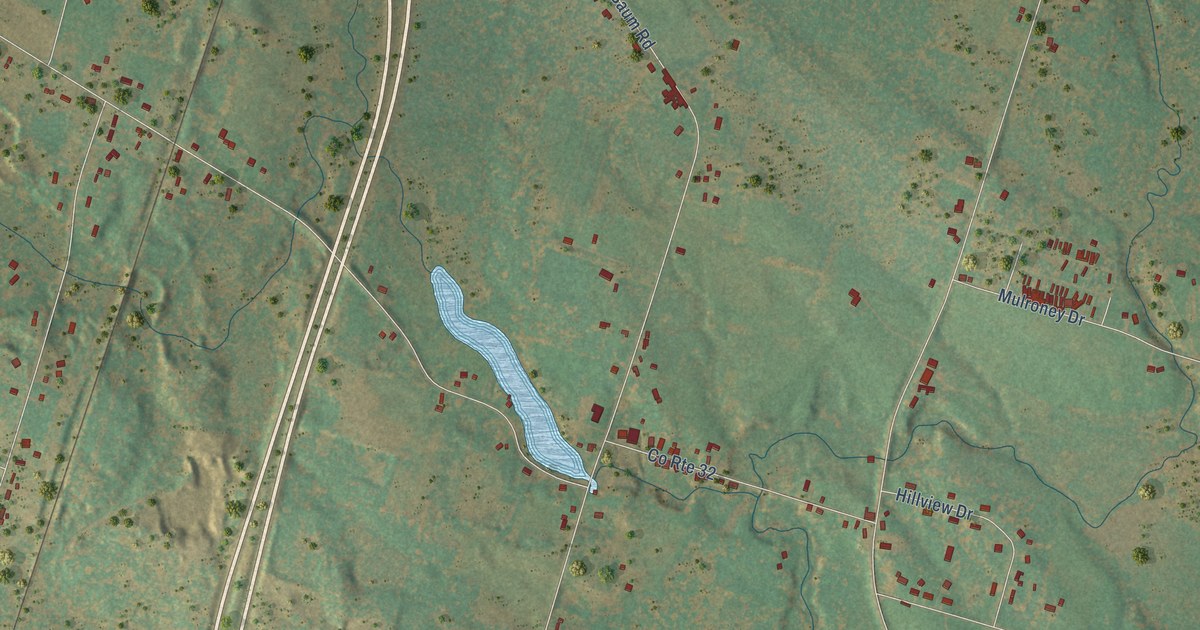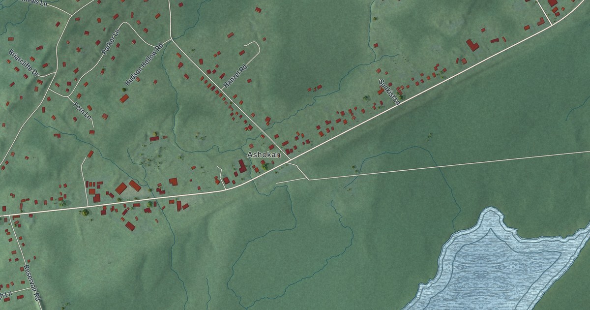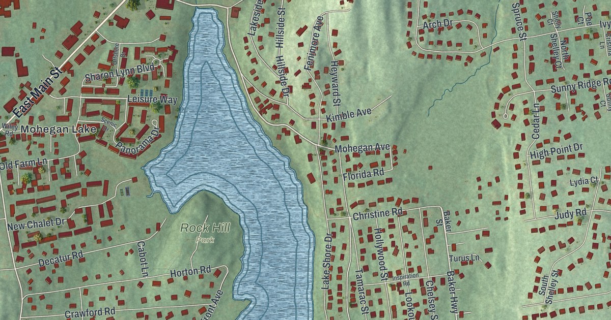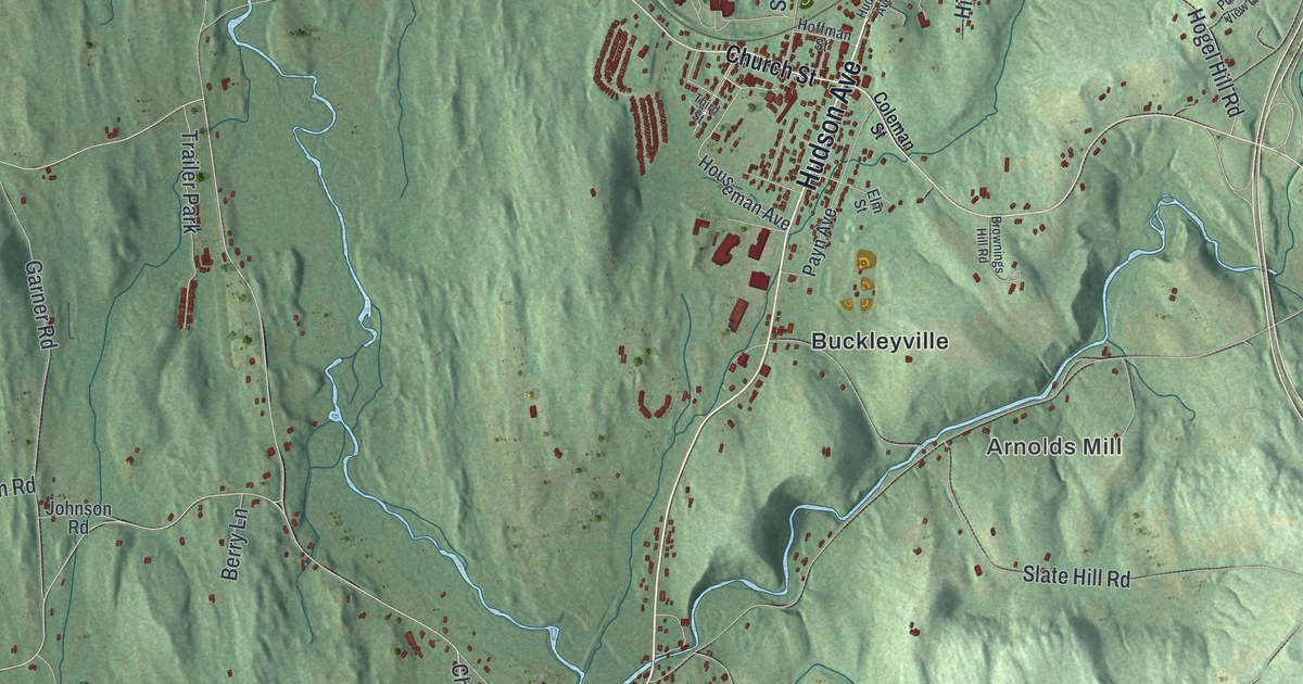
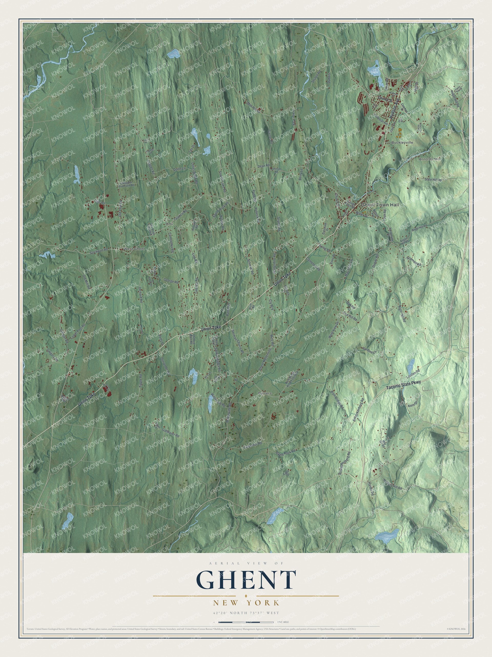
This beautifully detailed map of Ghent, New York was created in 2026 using aerial imagery combined with modern topographical, census, street and landmark data. It’s a one-of-a-kind view of Ghent that combines accurate data with a vintage aesthetic. The map shows every building in its true location, many of the roads carry their names, and the shaded topographic relief shows the shape of the land.
Explore an aerial view of Ghent, New York
On the map you’ll find Ghent Town Hall, Arnolds Mill, Buckleyville, Omi, Pulvers, and West Ghent, along with Union Turnpike, Hudson Avenue, Taconic State Parkway, Coleman Street, and more. If you look closely you can even find your house accurately drawn in its correct location. Zoom in on the preview to look for yours.
Did You Know?
Settlers moved into the area around 1735, farming fields the native people had already cleared. In 1818 the town was formed from parts of Chatham, Claverack and Kinderhook. Its founders named it for the Treaty of Ghent.
Take a closer look at the Ghent map
Names on this map
These names are printed on this map.
Places: Ghent Town Hall, Arnolds Mill, Buckleyville, Omi, Pulvers, West Ghent and Trailer Park.
Streets and roads: Union Turnpike, Hudson Avenue, Taconic State Parkway, Ghent Mellenville, Arch Bridge Road, Stockport Road, Leggett Road, Kern Drive, Water Street, Church Street, Old Post Road, Talerico Road.
More street names, A to Z
Angel Hill Road, Angell Hill Road, Arch Bridge Road Extended, Bartel Road, Bender Boulevard, Ben Ganson Road, Berry Lane, Blum Road, Brisklea Lane, Brownings Hill Road, Carpenter Road, Cemetery Road, Cesternino Lane, Coleman Street, Connacher Road, Cotswald Drive, Cty Rt 9, Curtis Road, Dean Road, Dubois, Dupier Road, Eagle Rock Road, Eagle Street, Egan Lane, Ej's Lane, Elm Street, Every Road, Falls Road, Fowler Lake Road, Gahbauer Road, Gallagher Stud Farm Road, Garage Place Road, Gardina Lane, Garner Road, George Road, German Church Road, Gilligan Road, Green Manor Avenue, Gregory Road, Habeck Road, Harder Road, Harlemville Road, Hickory Hill Road, High Street, Hillside Road, Hoffman Street, Hogel Hill Road, Houseman Avenue, Johnson Road, Konig Road, Letter South Road, Lev Drive, Link Road, Louden Road, Lower Post Road, Mac Lean Lane, May Hill Road, Mellenville Road, Metz Road, Mile Hill Road, Nathan Lane, Nelson Avenue, Nyfeler Road, Oak Road, Old Farm Road, Old Mill Road, Old Red Barn Road, Omi Road Extended, Orchard Road, Ostrander Road, Pach Road, Partridge Lane, Payn Avenue, Petty Drive, Pond Road, Punsit View Drive, Quinn Lane, Railroad Avenue, Rigor Hill Road, Scannell Road, Schackenberg Road, Schmidt Road, Schnackenberg Road, Shore Road, Shufelt Road, Slate Hill Road, Snyder Road, Soller Heights Road, Spook Rock Road, Talarico Road, Third Street, Thomas Street, Tice Hill Road, Tipple Road, Valley View Lane, Waltermire Road, West View Drive, Winter Hill Road.
See it on a wall
The Ghent map as a framed print. Swipe for more.


This beautifully detailed map of Ghent makes an attractive addition to your office, library, or den, and it can even be used to teach children the geography and history of the area. It also makes a great gift for someone who left Ghent and still calls it home. When you’re done exploring, click here to get your copy of the Ghent map.