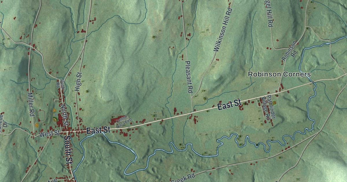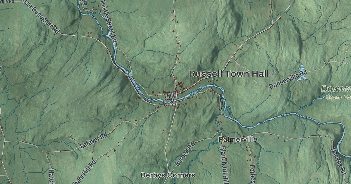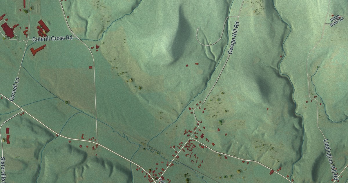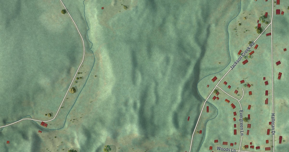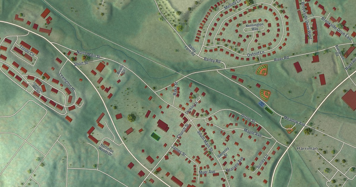
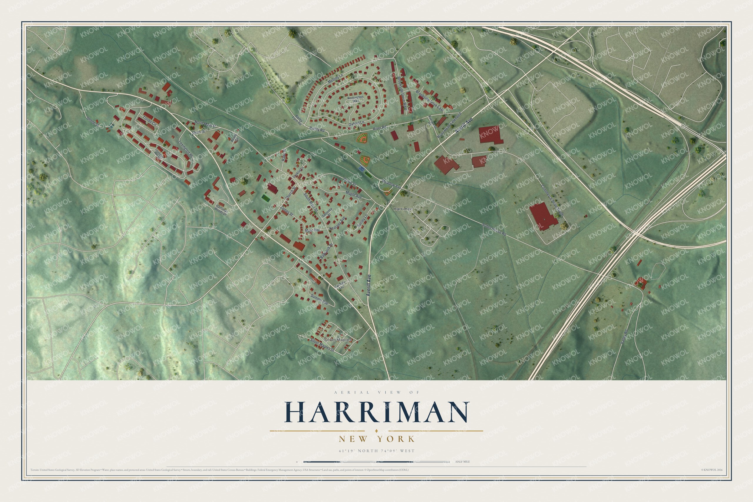
This beautifully detailed map of Harriman, New York was created in 2026 using aerial imagery combined with modern topographical, census, street and landmark data. It’s a one-of-a-kind view of Harriman that combines accurate data with a vintage aesthetic. The map shows every building in its true location, many of the roads carry their names, and the shaded topographic relief shows the shape of the land.
Explore an aerial view of Harriman, New York
On the map you’ll find Lexington Hl and Silver Maples, along with Averill Avenue, Silver Maples Drive, Church Street, Melody Lane, and more. If you look closely you can even find your house accurately drawn in its correct location. Zoom in on the preview to look for yours.
Did You Know?
In 1851 Erie Railroad official Charles Minot waited in a train at Turner Station. He used the new telegraph to ask Monroe whether the eastbound train had passed. It had not. When the engineer refused to go on, Minot drove the train himself to Port Jervis. It was a first for the railroad industry.
Take a closer look at the Harriman map
Names on this map
These names are printed on this map.
Places: Silver Maples and Harriman.
Streets and roads: Averill Avenue, Silver Maples Drive, Church Street, Melody Lane, Lexington Hl, Arden House Road, Commerce Drive South, River Road, Oxford Lane, North Main Street, South Main Street, Summit Avenue.
More street names, A to Z
Babcock Drive, Bailey Farm Road, Bailey Road, Beatty Circle, Brookside Drive East, Brookside Drive West, Conklin Lane, Evergreen Road, Grove Street, Harriman Woods Drive, James Street, Kearney Avenue, Kensington Way, Lexington Hills Road, Maple Avenue, Meadow Avenue, Myer Avenue, Rake Street, Ramapo Avenue, River Road Extended, Short Street, Snoop Street, Surrey Lane, Sweeney Street, Tondo Circle, Valley Road.
See it on a wall
The Harriman map as a framed print. Swipe for more.


This beautifully detailed map of Harriman makes an attractive addition to your office, library, or den, and it can even be used to teach children the geography and history of the area. It also makes a great gift for anyone with Harriman roots. When you’re done exploring, click here to get your copy of the Harriman map.