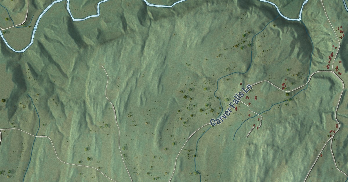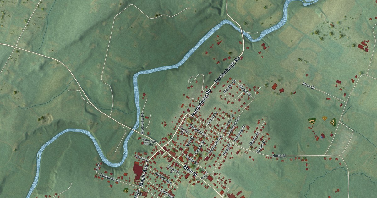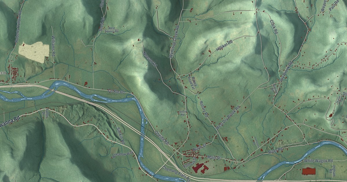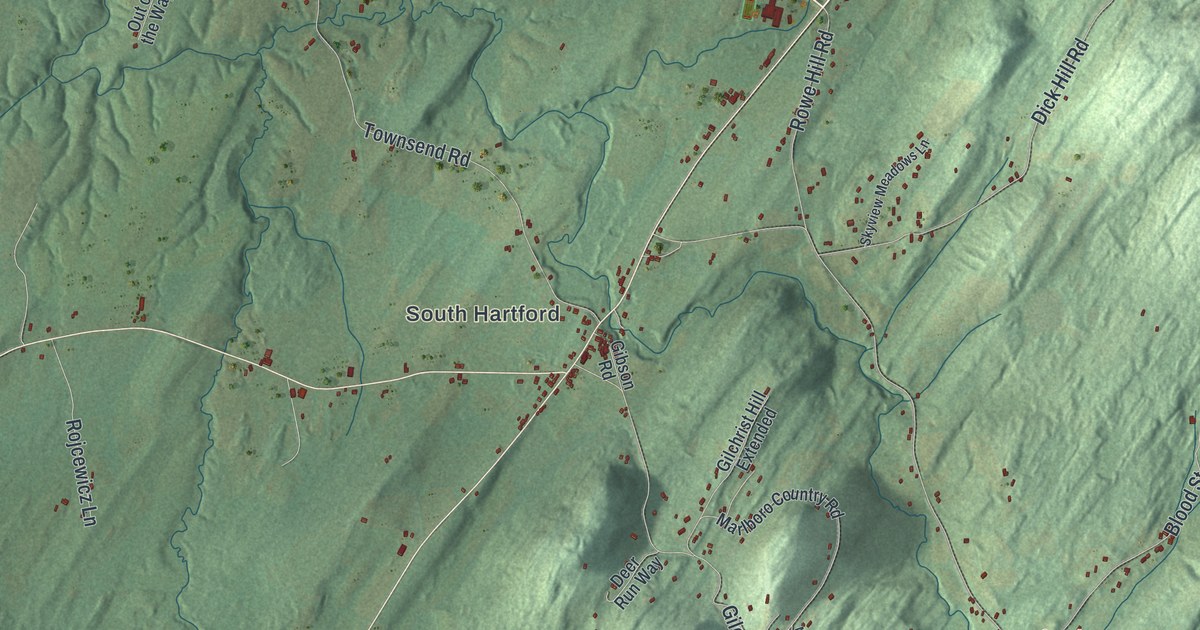
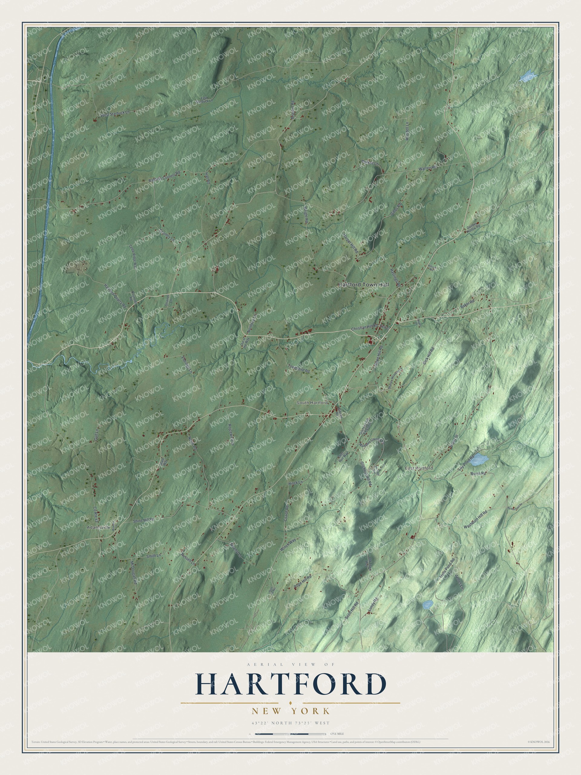
This beautifully detailed map of Hartford, New York was created in 2026 using aerial imagery combined with modern topographical, census, street and landmark data. It’s a one-of-a-kind view of Hartford that combines accurate data with a vintage aesthetic. The map shows every building in its true location, many of the roads carry their names, and the shaded topographic relief shows the shape of the land.
Explore an aerial view of Hartford, New York
On the map you’ll find Hartford Town Hall, East Hartford, South Hartford, and Adamsville, along with Wright Road, Baker Road, Baldwin Corners Road, Burch Road, and more. If you look closely you can even find your house accurately drawn in its correct location. Zoom in on the preview to look for yours.
Did You Know?
Hartford’s land was part of a 1766 provincial patent given to officers who had fought in the French and Indian War. That patent created a Town of Westfield, which also held present Putnam and Fort Ann. Hartford became a separate town in 1793, split off from Westfield. Many of its first settlers were New Englanders.
Take a closer look at the Hartford map
Names on this map
These names are printed on this map.
Places: Hartford Town Hall, East Hartford, South Hartford and Adamsville.
Streets and roads: Wright Road, Baker Road, Baldwin Corners Road, Burch Road, Blood Street, Warren Road, Gilchrist Hill Road, Gibbs Road, Coach Road, Hall Road, Shine Hill Road, Eldridge Lane.
More street names, A to Z
Big Burch Hill Road, Braman Lane, Brayton Road, Cedar Ridge Way, Christian Hill Road, Country Lane, County Route 43, Deer Run Way, Dick Hill Road, Durkee Lane, Dusty Hy Way, East Starbuck Lane, East Street, Gibson Road, Gilchrist Hill Extended, Guilder Hollow Road, Gulf Lane, Halls Pond Road, Harper Hill Road, Hartford Quarry Road, Hastings Road, Hayes Lane, Hillcrest Way, Hinck Lane, James Lane, Lily Pond Road, Lundy Road, Marlboro Country Road, McDougall Road, Mill Ridge Way, North Road, Northrup Lane, Old Town Way, Out of the Way, Pope Hill Road, Reynolds Road, Rojcewicz Lane, Rowe Hill Road, Russell Lane, Scott Hill Road, Skyview Meadows Lane, Slate Way, Smith Lane, Strainer Lane, Swamp Lane, Townsend Road, Washburn Hill Road, West Starbuck Lane, Winch Way, Woodell Lane.
See it on a wall
The Hartford map as a framed print. Swipe for more.


This beautifully detailed map of Hartford makes an attractive addition to your office, library, or den, and it can even be used to teach children the geography and history of the area. It also makes a great gift for anyone who grew up in Hartford or moved away. When you’re done exploring, click here to get your copy of the Hartford map.