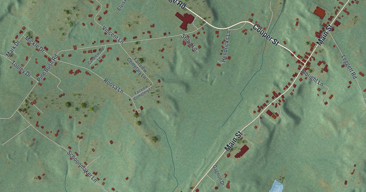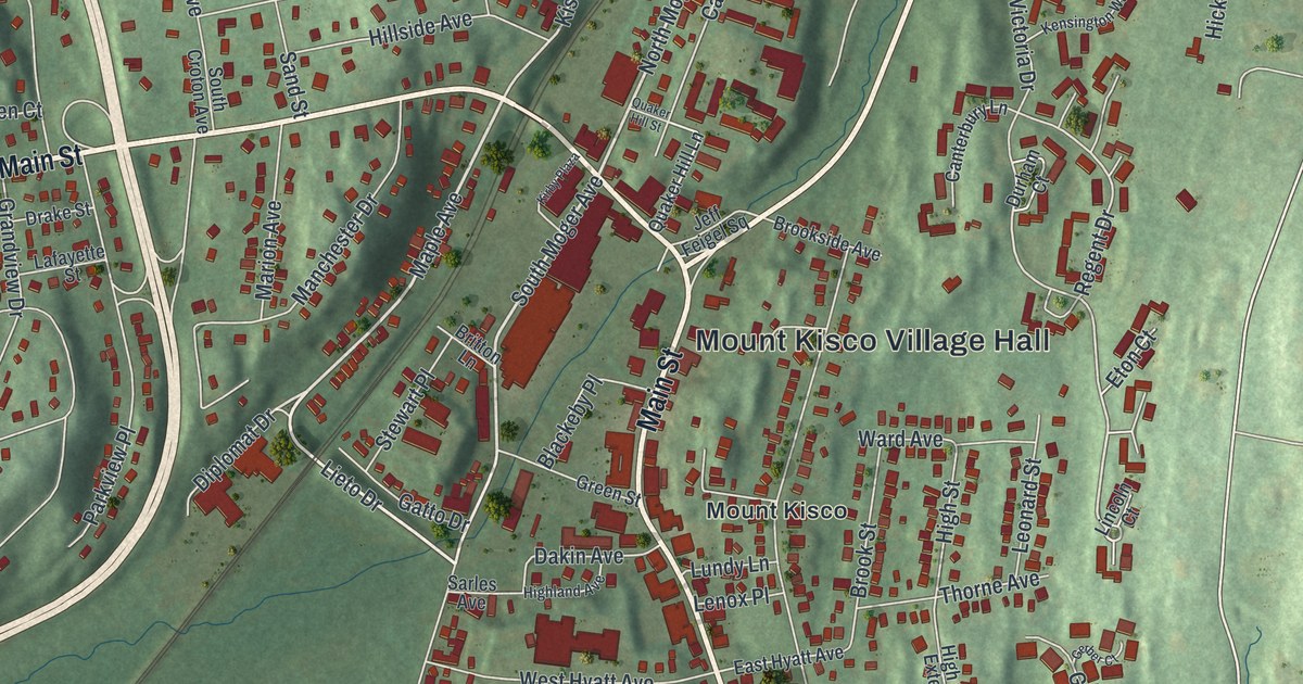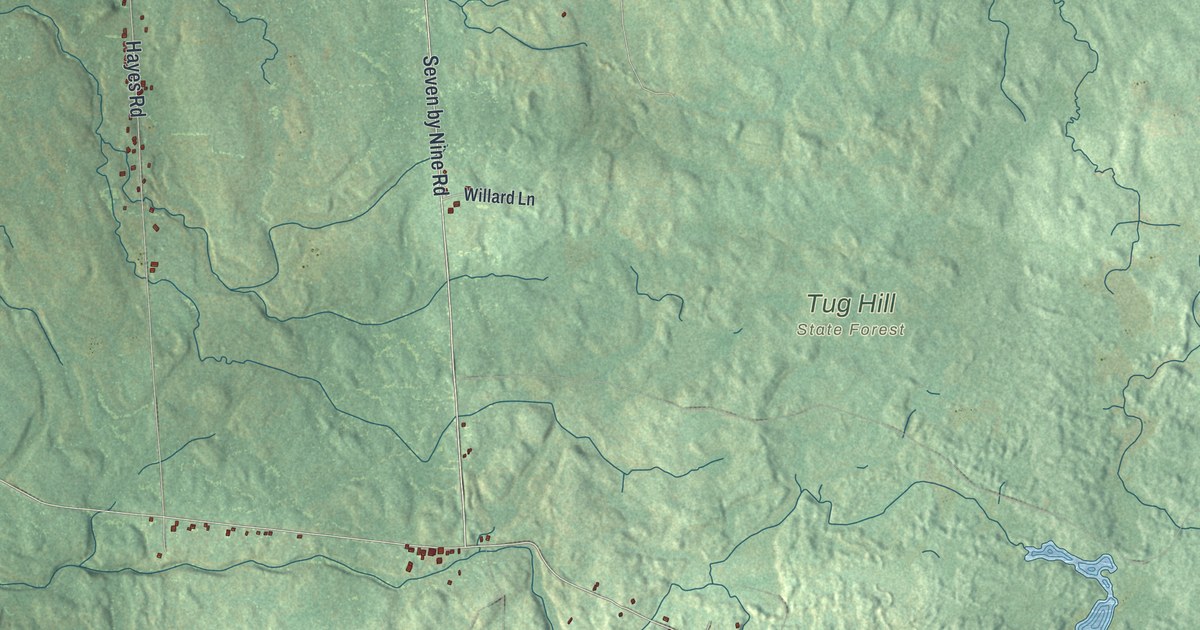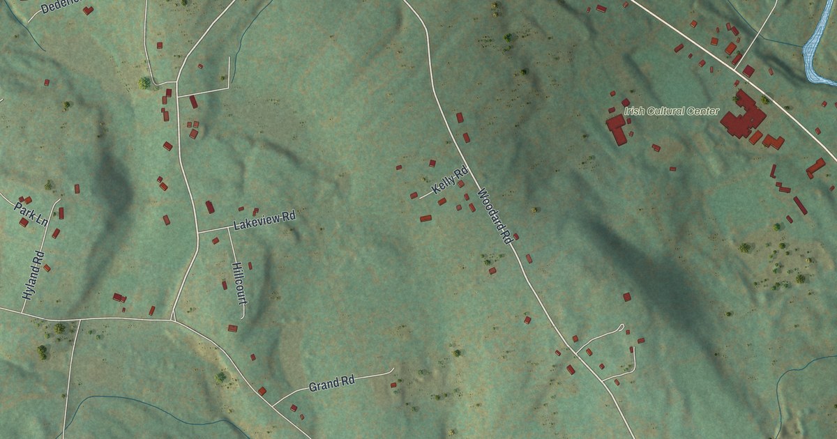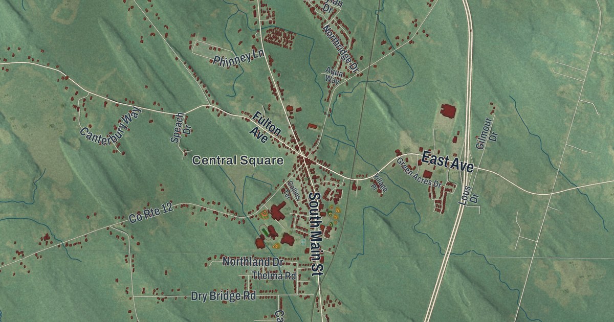
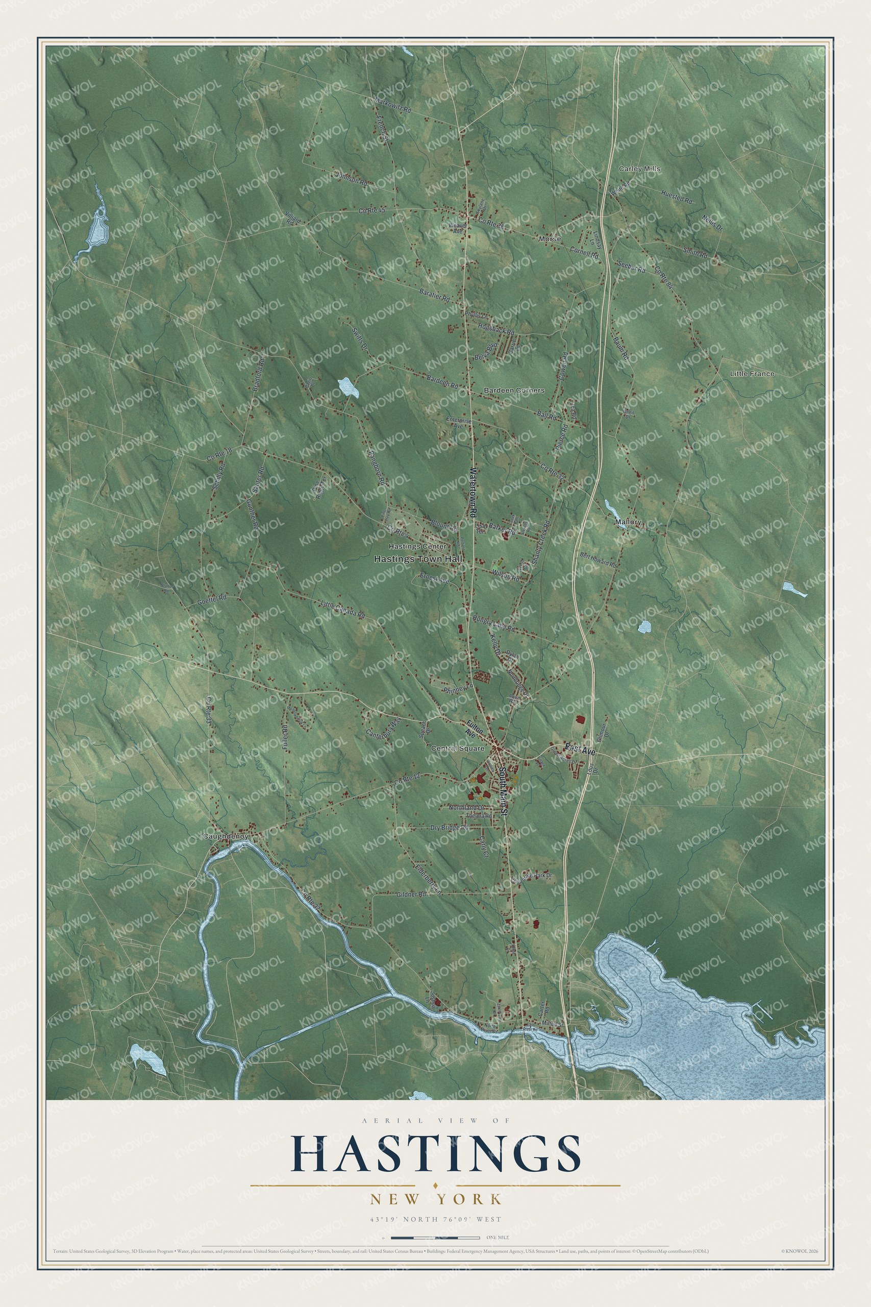
This beautifully detailed map of Hastings, New York was created in 2026 using aerial imagery combined with modern topographical, census, street and landmark data. It’s a one-of-a-kind view of Hastings that combines accurate data with a vintage aesthetic. The map shows every building in its true location, many of the roads carry their names, and the shaded topographic relief shows the shape of the land.
Explore an aerial view of Hastings, New York
On the map you’ll find Hastings Town Hall, Carley Mills, Little France, Bardeen Corners, Caughdenoy, and Central Square, along with East Avenue, Watertown Road, Main Street, Fulton Avenue, and more. If you look closely you can even find your house accurately drawn in its correct location. Zoom in on the preview to look for yours.
Did You Know?
Hastings was the first settled town in Oswego County. In 1789 Oliver Stevens built a house near the empty Fort Brewerton. He traded with Native people and served river boatmen at a sort of tavern. The town formed in 1825 and honors Hastings Curtiss, a state assemblyman.
Take a closer look at the Hastings map
Names on this map
These names are printed on this map.
Places: Hastings Town Hall, Carley Mills, Little France, Bardeen Corners, Caughdenoy, Central Square, Hastings Center, Mallory and Morse.
Streets and roads: East Avenue, Watertown Road, South Main Street, County Route 37, County Route 33, County Route 4, County Route 84, County Route 38, County Route 12, Pangborn Road, Baum Road, Little Canada Road.
More street names, A to Z
Aqua Way, Ball Road, Baratier Road, Bardeen Road, Barker Road, Belva Boulevard, Bert Howard Road, Blount Road, Blumer Road, Bradford Road, Canterbury Way, Carly Court, Carrie Lane, Carter Road, Collins Terrace, Cornell Road, Corporate Park Drive, County Route 18, County Route 32, County Route 45, Cowen Road, Creek Path, Dry Bridge Road, Dylan Drive, East River Road, Elderberry Lane, Enterprise Avenue, Ernest Avenue, French Street, Fuller Road, Fulton Avenue, Gildner Road, Gilmour Drive, Goettel Road, Green Acres Drive, Gunther Road, Hogsback Road, Huested Road, Hungry Lane Road, Jca Road, Johnson Road, Joshua Lane, Kelly Drive, Kline Drive, Lindsay Lane, Lisa Terrace, Lous Drive, Markowitz Road, Meadowbrook Lane, Milton Street, Nellis Drive, Northland Drive, Northridge Drive, North River Drive, Oneil Drive, Pagio Drive, Perfield Road, Phinney Lane, Phyllis Lane, Pierce Road, Pine Ridge Terrace, Pine Tree Road, Sauter Road, Schilly Road, Seeber Road, Shanty Creek Road, Skylane Drive, Smith Road, Speach Drive, Stevens Road, Switts Drive, Thelma Road, Village Place, Villiard Road, Weaver Avenue, West Circle, White Road, Wilson Road, Zuk-Pierce Drive.
See it on a wall
The Hastings map as a framed print. Swipe for more.


This beautifully detailed map of Hastings makes an attractive addition to your office, library, or den, and it can even be used to teach children the geography and history of the area. It also makes a great gift for someone who left Hastings and still calls it home. When you’re done exploring, click here to get your copy of the Hastings map.