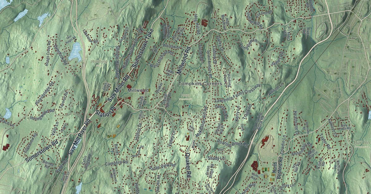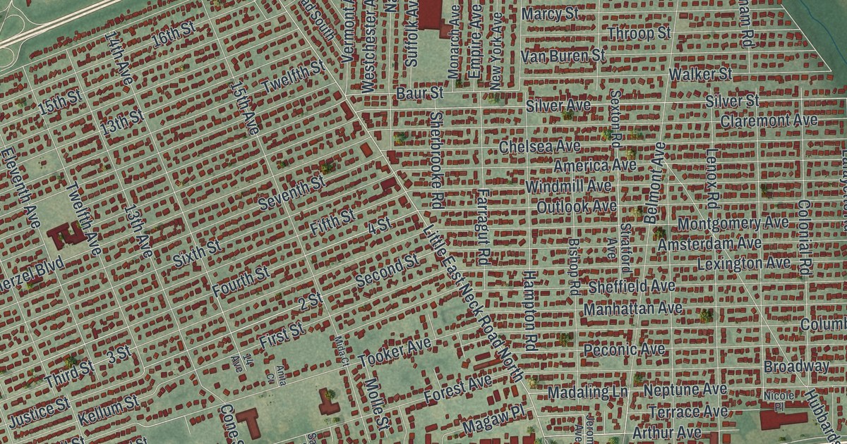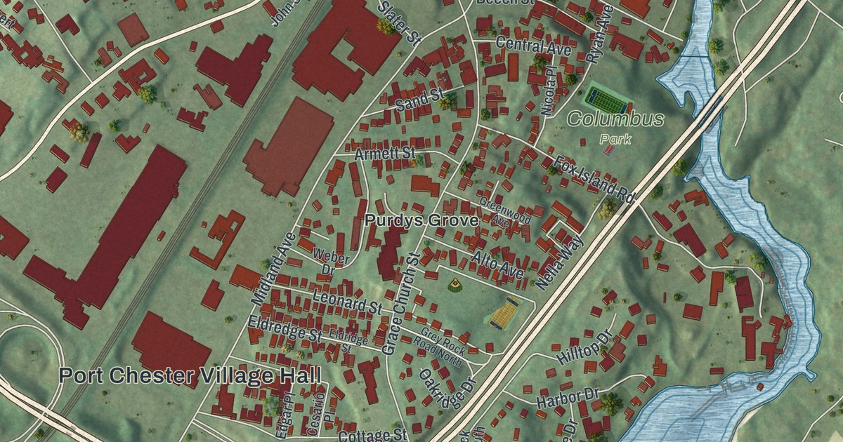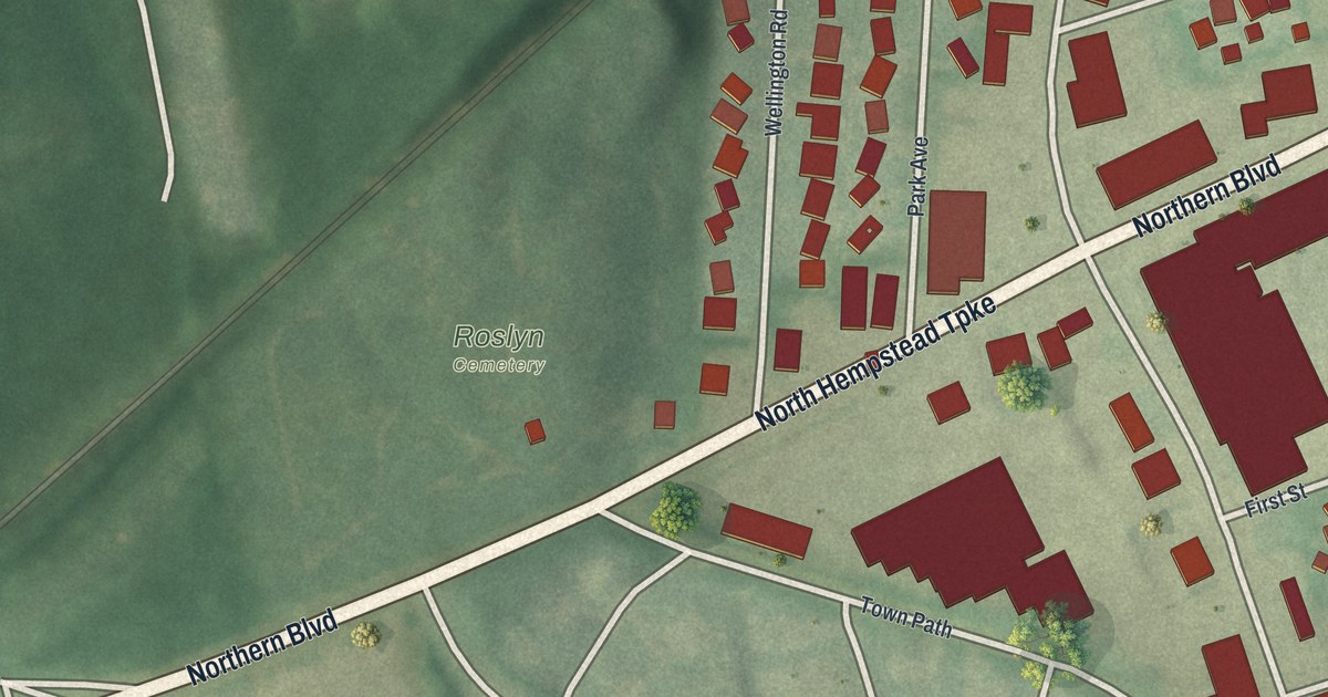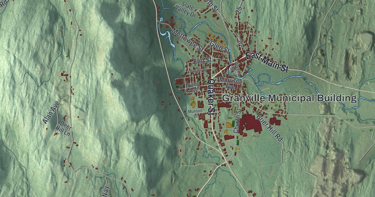
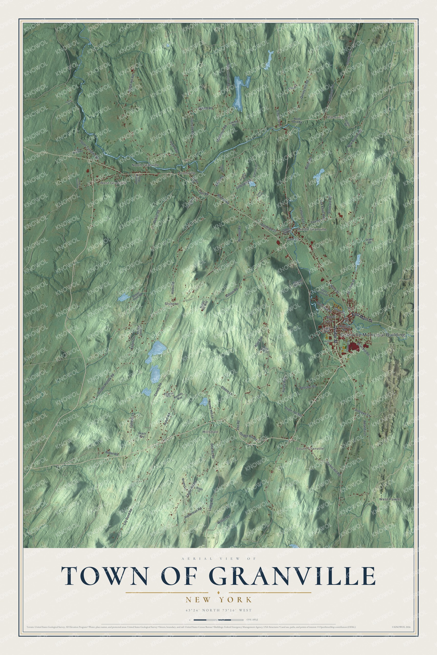
This beautifully detailed map of the Town of Granville, New York was created in 2026 using aerial imagery combined with modern topographical, census, street and landmark data. It’s a one-of-a-kind view of the Town of Granville that combines accurate data with a vintage aesthetic. The map shows every building in its true location, many of the roads carry their names, and the shaded topographic relief shows the shape of the land.
Explore an aerial view of the Town of Granville, New York
On the map you’ll find Granville Municipal Building, Raceville, West Granville, South Granville, Hillsdale, and Middle Granville, along with Main Street, Quaker Street, Elm Street, Glen Street, and more. If you look closely you can even find your house accurately drawn in its correct location. Zoom in on the preview to look for yours.
Did You Know?
The town was named for John Carteret, the second Earl Granville. It was founded in 1780. Slate deposits turned up in Middle Granville in 1850, and the first quarries opened around 1853. Granville became known as the Colored Slate Capital of the World, with stone in green, purple and red.
Take a closer look at the Town of Granville map
Names on this map
These names are printed on this map.
Places: Granville Municipal Building, Raceville, West Granville, South Granville, Hillsdale, Middle Granville, North Granville, Slyboro, Truthville and West Pawlet.
Streets and roads: East Main Street, Quaker Street, Elm Street, Glen Street, Pine Street, North Street, Brier Hill Road, Butler Road, Lee Road, New Boston Road, Dublin Road, Taylor Hill Road.
More street names, A to Z
Aiken Road, Alan Avenue, Aldous Road, Amanda Lane, Andrews Lane, Auney Way, Baker Road, Beaver Pond Road, Beecher Road, Birchmore Way, Briggs Lane, Brown Lane, Carrera Lane, Cary Road, Church Street, Conety Road, Cove Lane, Cross Road, Daigle-Lee Way, Dayton Hill Road, Deer Hill Lane, Dekalb Road, Dibble Lane, Dodge Hill Road, Drake Road, Emerson Lane, Fox Knoll Way, Fox Road, Gillespie Road, Grey Goose Road, Guilder Hollow Road, Halterman Road, Hatch Hill Road, Hicks Road, Holcombville Road, Hollister Way, Honey Hill Lane, Honeysuckle Drive, Hulett Road, Irving Avenue, Kamarak Way, Keller Lane, Kermits Way, Killdeer Lane, Lafountain Lane, Liebig Road, Lily Pond Road, Loomis Road, Mettowee Street, Middleton Road, Mineral Hill Way, Morrison Avenue, Munson Drive, North Bend Road, Oatman Lane, Old State 22, Pacific Street, Parker Hill Road, Prouty Road, Quivey Hill Road, Ritchie Road, River Street, Scenic Hill Way, Searles Road, Shaowe Way, Slate Valley Drive, Stoddard Road, Thomas Road, Tower Hill Road, Truthville Road, Upper Turnpike Road, Veach Way, Water House Way, Whitney Estates Lane, Williams Road, Wilson Road, Woodell Road, York Way.
See it on a wall
The Granville map as a framed print. Swipe for more.


This beautifully detailed map of the Town of Granville makes an attractive addition to your office, library, or den, and it can even be used to teach children the geography and history of the area. It also makes a great gift for anyone who grew up in the Town of Granville or moved away. When you’re done exploring, click here to get your copy of the Town of Granville map.