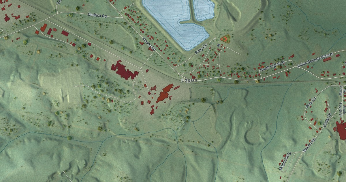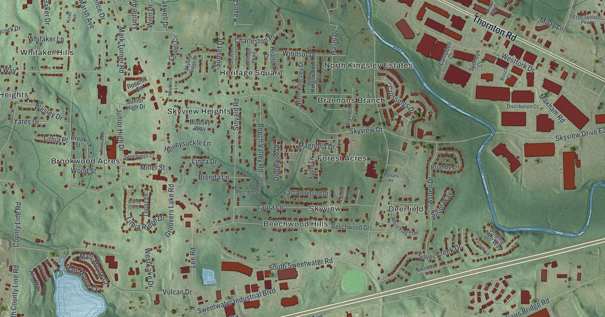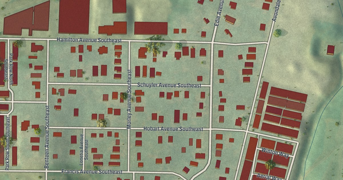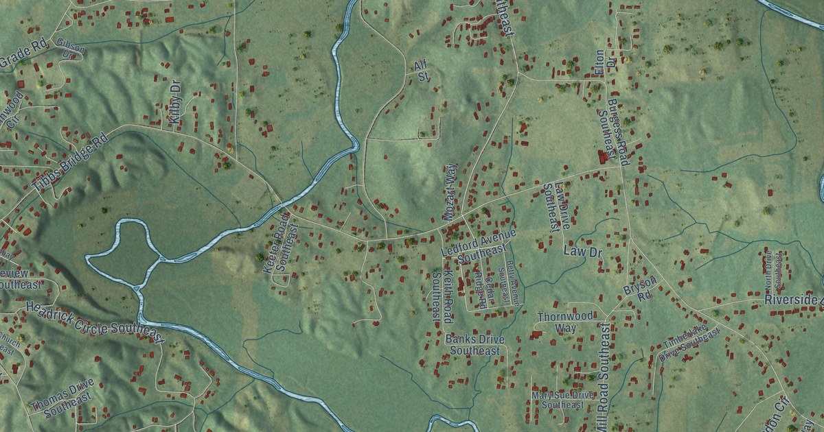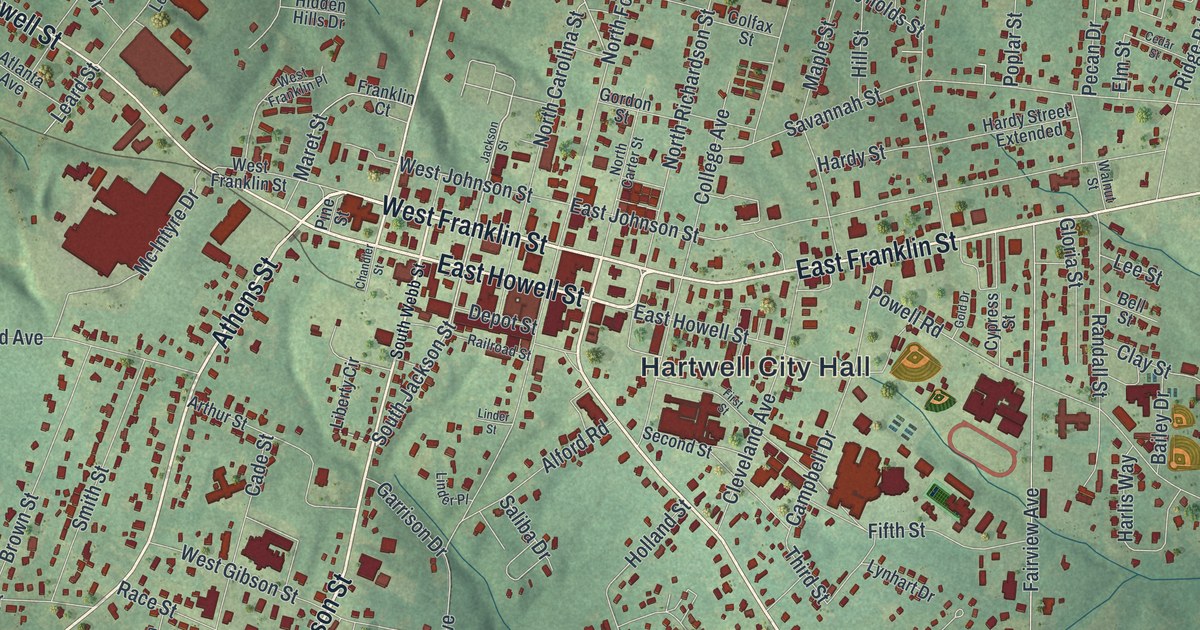
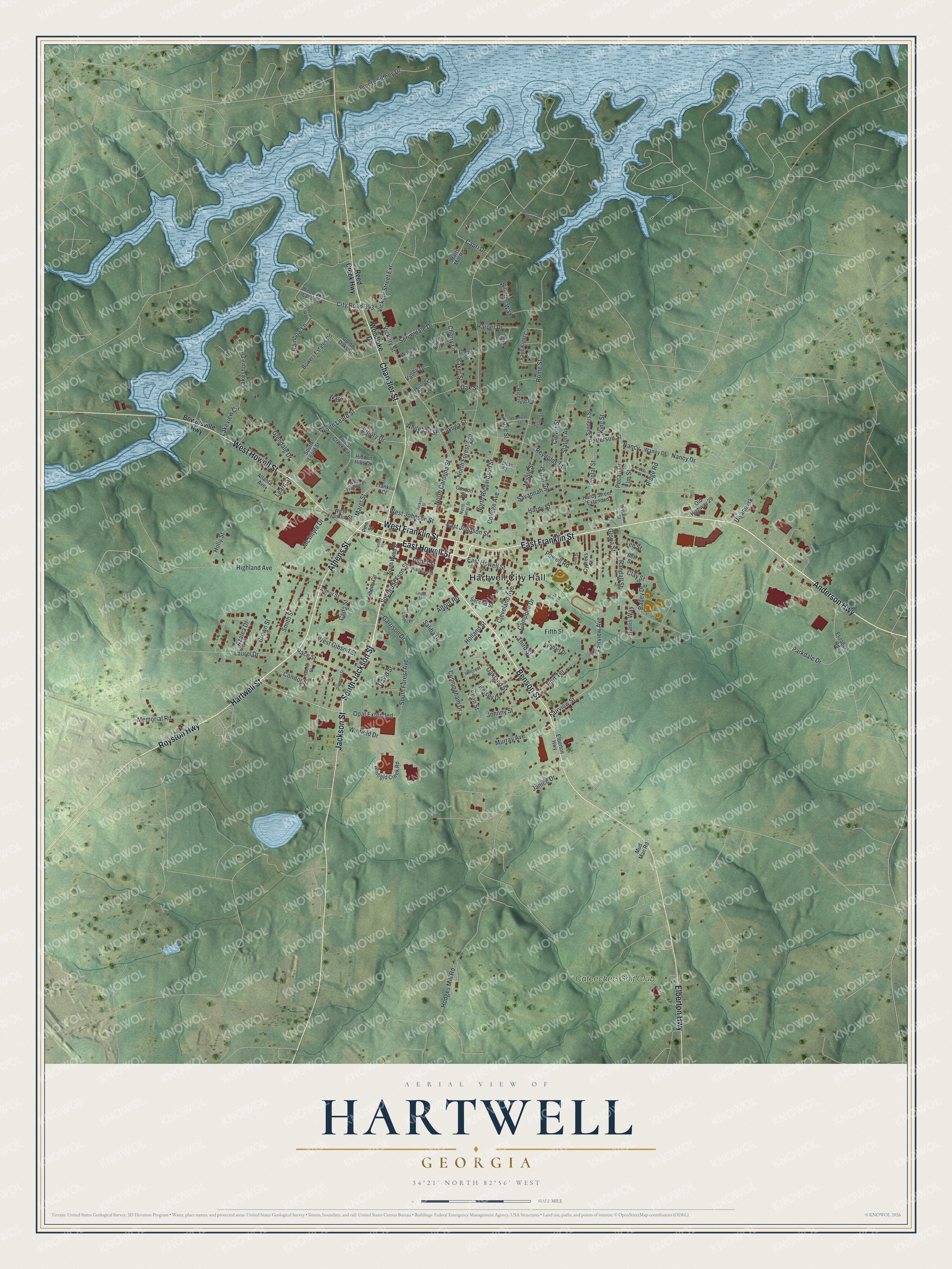
This beautifully detailed map of Hartwell, Georgia was created in 2026 using aerial imagery combined with modern topographical, census, street and landmark data. It’s a one-of-a-kind view of Hartwell that combines accurate data with a vintage aesthetic. The map shows every building in its true location, many of the roads carry their names, and the shaded topographic relief shows the shape of the land.
Explore an aerial view of Hartwell, Georgia
On the map you’ll find Hartwell City Hall, along with Athens Street, Jackson Street, Howell Street, Franklin Street, and more. If you look closely you can even find your house accurately drawn in its correct location. Zoom in on the preview to look for yours.
Did You Know?
Hartwell was founded in 1854 to serve as the seat of the new Hart County. The town was named for Nancy Morgan Hart, a heroine of the Revolutionary War. Hartwell was incorporated as a town in 1856 and became a city in 1904.
Take a closer look at the Hartwell map
Names on this map
These names are printed on this map.
Places: Hartwell City Hall and Cateechee Golf Club.
Streets and roads: Athens Street, South Jackson Street, East Howell Street, West Franklin Street, Benson Street, Elberton Highway, Jackson Street, West Howell Street, Chandler Street, East Franklin Street, Hartwell Street, Royston Highway.
More street names, A to Z
Alford Road, Anderson Highway, Arthur Street, Atlanta Avenue, Azalea Drive, Bailey Drive, Baker Street, Bell Street, Bowers Estates Road, Bowersville Highway, Brown Street, Cade Street, Campbell Drive, Capri Drive, Cayuga Street, Cedar Street, Cherry Circle, Cherry Lane, Cherry Street, City Road 393, Clay Street, Cleveland Avenue, Clover Street, Colfax Street, College Avenue, Condor Street, Cunningham Drive, Cypress Street, David Street, Depot Street, Dogwood Street, East Johnson Street, Elizabeth Road, Ellen Street, Elm Street, Emory Drive, Fairview Avenue, Fairview Street, Faye Kight Circle, Fifth Street, First Street, Forest Creek Circle, Franklin Court, Garrison Drive, Glendale Drive, Glenn Street, Gloria Street, Gold Drive, Golden Oaks Drive, Gordon Street, Hall Circle, Hardy Street, Hardy Street Extended, Harlis Way, Harper Drive, Harts Mill Road, Hart Terrace, Hidden Hills Drive, Highland Avenue, Hillcrest Drive, Hill Street, Hodges Mill Road, Holland Street, Holly Street, Janice Drive, Johnny Street, Kelsey Drive, King Street, Lakeshore Drive, Lakeview Circle, Laurel Drive, Leard Street, Lee Street, Liberty Circle, Linder Place, Linder Street, Lynhart Drive, Maple Street, Maret Street, Mc Intyre Drive, Memorial Road, Mud Man Road, Murfee Lane, Murray Avenue, Nancy, Nancy Drive, North Carolina Street, North Carter Street, North Forest Avenue, North Leard Street, North Richardson Street, Oakland Street, Oak Street, Old Highway 29, Opal Extended, Owens Lane, Parkdale Drive, Patterson Street, Peachtree Street, Pecan Drive, Pine Street, Pointe Sidney Drive, Ponderosa Drive, Poplar Street, Powell Road, Race Street, Railroad Street, Rainbow Lane, Randall Street, Reed Creek Highway, Reynolds Street, Ricefield Road, Ridge Road, Rome Street, Rose Street, Saliba Drive, Sanders Street, Savannah Street, Second Street, Slaton Avenue, Smith Street, South Forest Avenue, South Leard Street, South Webb Street, Spears Road, Springdale Drive, Teasley Street, Third Street, Ulyanovsk, Valley Drive, Vickery Street, Vickery Street Extension, Walnut Street, Waney Drive, Ware Street, West Franklin Place, West Gibson Street, West Johnson Street, Whitehall Street, Williams Street, Winding Way, Winfield Creek Road, Winfield Drive, Woodlake Drive, Woodlake Landing.
See it on a wall
The Hartwell map as a framed print. Swipe for more.


This beautifully detailed map of Hartwell makes an attractive addition to your office, library, or den, and it can even be used to teach children the geography and history of the area. It also makes a great gift for someone who left Hartwell and still calls it home. When you’re done exploring, click here to get your copy of the Hartwell map.