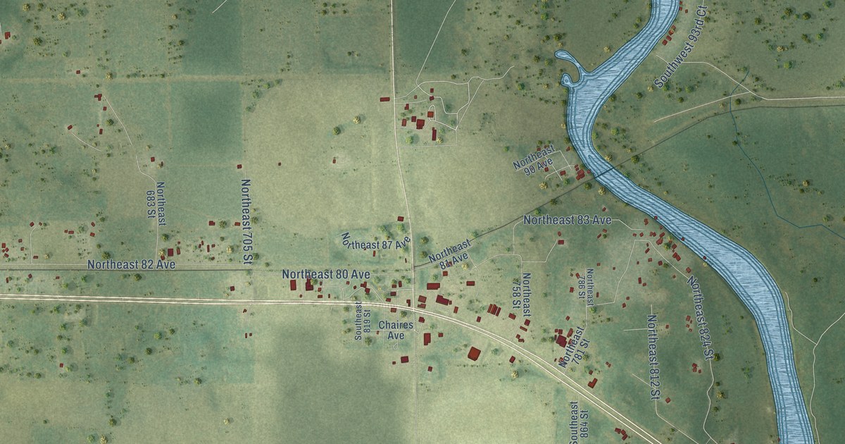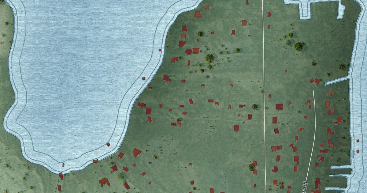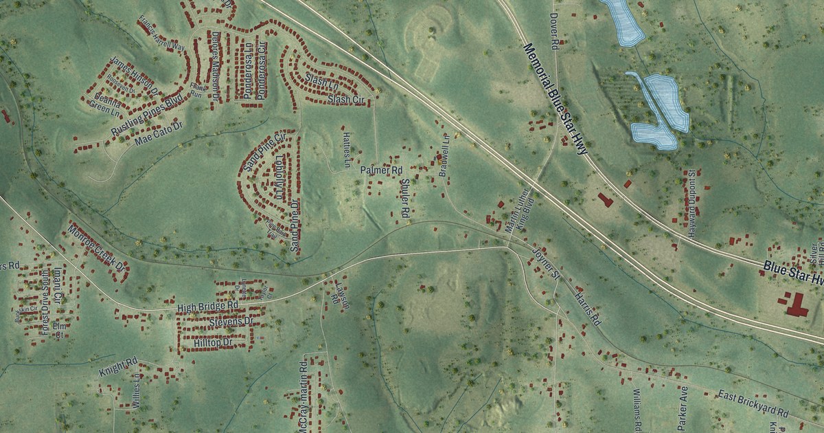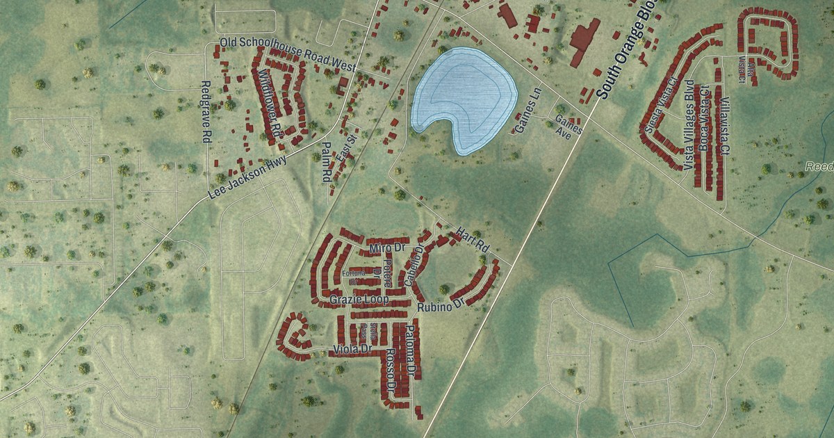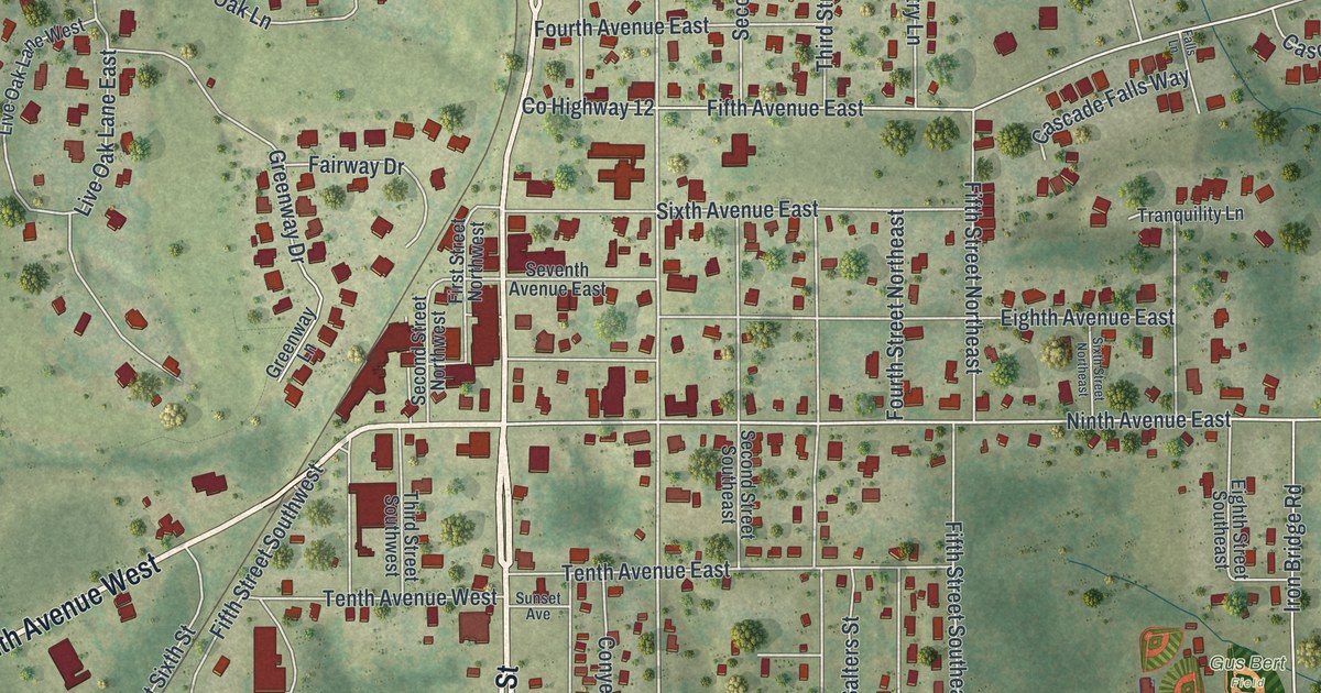
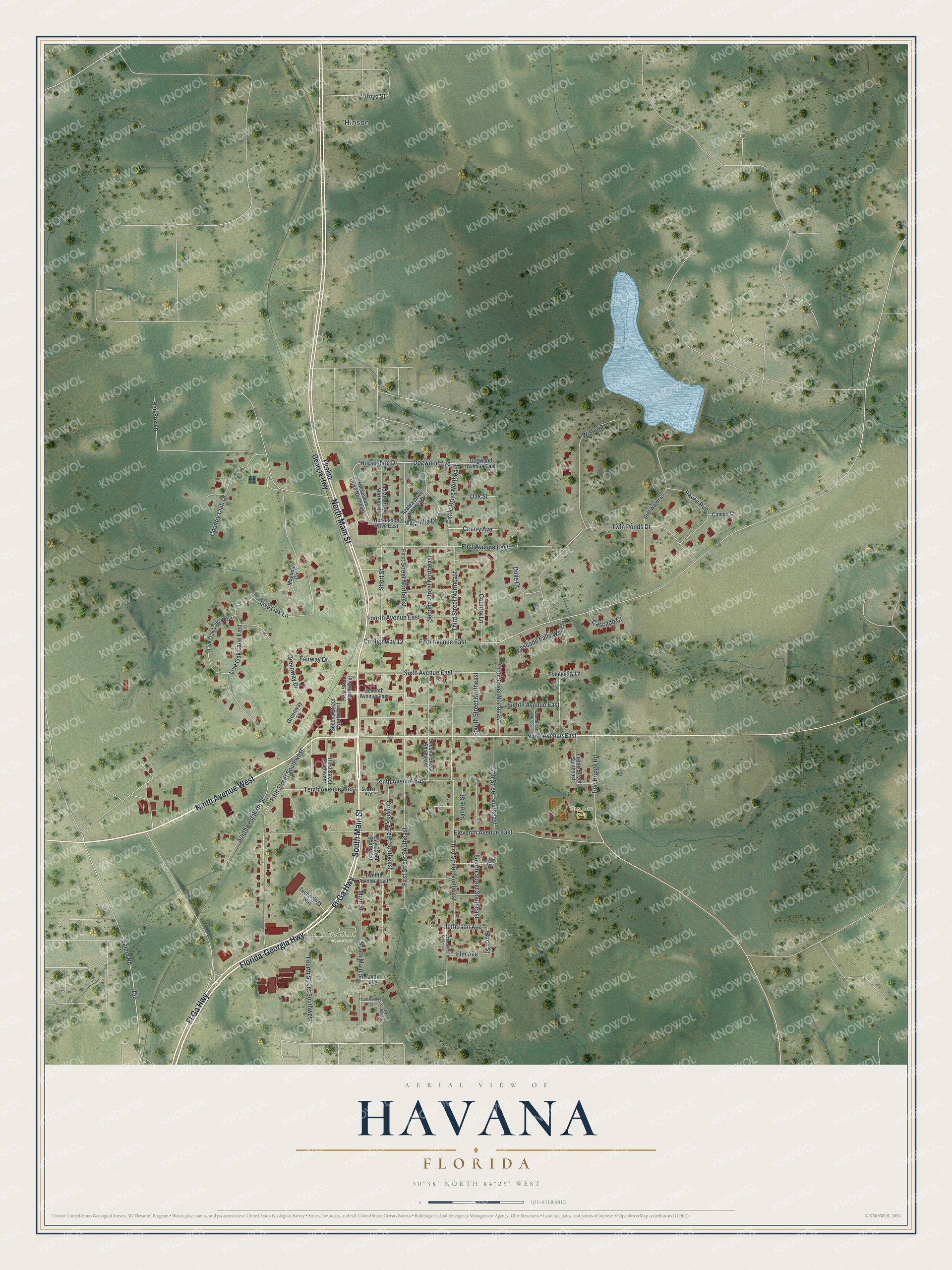
This beautifully detailed map of Havana, Florida was created in 2026 using aerial imagery combined with modern topographical, census, street and landmark data. It’s a one-of-a-kind view of Havana that combines accurate data with a vintage aesthetic. The map shows every building in its true location, many of the roads carry their names, and the shaded topographic relief shows the shape of the land.
Explore an aerial view of Havana, Florida
On the map you’ll find Gus Bert Field, Woodland Cemetery, and Hinson, along with South Main Street, Florida-Georgia Highway, Ninth Avenue West, North Main Street, Fl Ga Highway, Ninth Avenue East, Horseshoe Drive, First Street Northeast, and more. If you look closely you can even find your house accurately drawn in its correct location. Zoom in on the preview to look for yours.
Did You Know?
Havana began in 1902, when settlers moved to be near the new Georgia, Florida and Alabama Railroad. Teacher James Mathewson suggested the name. He believed the hand-rolled cigars from this area matched those of Havana, Cuba. The town was incorporated in 1906.
Take a closer look at the Havana map
Names on this map
These names are printed on this map.
Places: Gus Bert Field, Woodland Cemetery and Hinson.
Streets and roads: South Main Street, Florida-Georgia Highway, Ninth Avenue West, North Main Street, Fl Ga Highway, Fl-Ga Highway, Ninth Avenue East, Horseshoe Drive, First Street Northeast, First Street Southeast, Elm Avenue, Birch Street.
More street names, A to Z
14th Avenue, 15th Avenue East, Azalea Drive Northeast, Boyd Street, Cameo Court, Cascade Court, Cascade Falls Way, Cherry Avenue, Circle Drive Northeast, Collins Avenue, Conyers Street, Conyers Street Southeast, Country Club Drive, Country Lane, County Highway 12, Dogwood Avenue, Dogwood Avenue East, Dove Court, Eighth Avenue East, Eighth Street Southeast, Eleventh Avenue East, Fairway Drive, Falls Lane, Fifth Avenue East, Fifth Street Northeast, Fifth Street Southeast, Fifth Street Southwest, First Avenue East, First Street Northwest, Florida Georgia Highway, Fourth Avenue East, Fourth Street Northeast, Fourth Street Southeast, Fourth Street Southwest, Gay Street Southeast, Greenway Drive, Greenway Lane, Horseshoe Drive East, Horseshoe Drive Northeast, Indian Street Northeast, Iron Bridge Road, Jefferson Avenue, Live Oak Lane, Live Oak Lane East, Live Oak Lane West, Magnolia Circle, Magnolia Drive, Main Street, Oak Street, Pecan Street Southeast, Raven Run, Red Fox Lane, Salem Road, Salters Street, Second Street Northeast, Second Street Northwest, Second Street Southeast, Seventh Avenue East, Short Street, Sixth Avenue East, Sixth Street Northeast, Southwest Sixth Street, Still Water Lane, Sunset Avenue, Technology Way, Tenth Avenue East, Tenth Avenue West, Third Street Northeast, Third Street Southeast, Third Street Southwest, Tranquility Lane, Twelfth Avenue East, Twin Ponds Drive, Wisteria Lane.
See it on a wall
The Havana map as a framed print. Swipe for more.


This beautifully detailed map of Havana makes an attractive addition to your office, library, or den, and it can even be used to teach children the geography and history of the area. It also makes a great gift for anyone with Havana roots. When you’re done exploring, click here to get your copy of the Havana map.