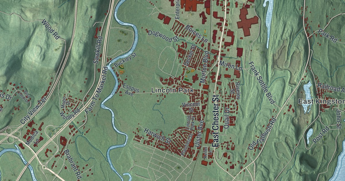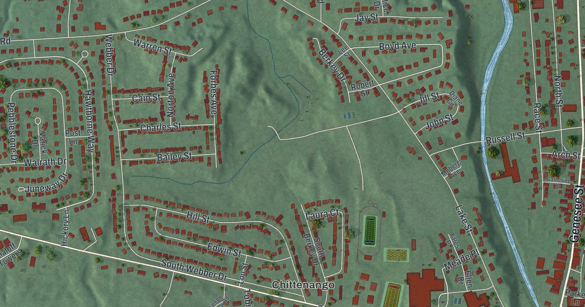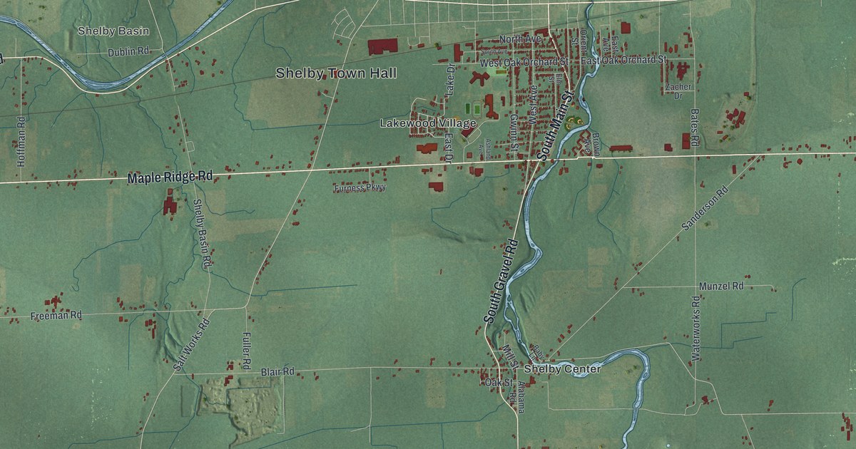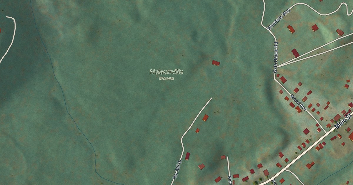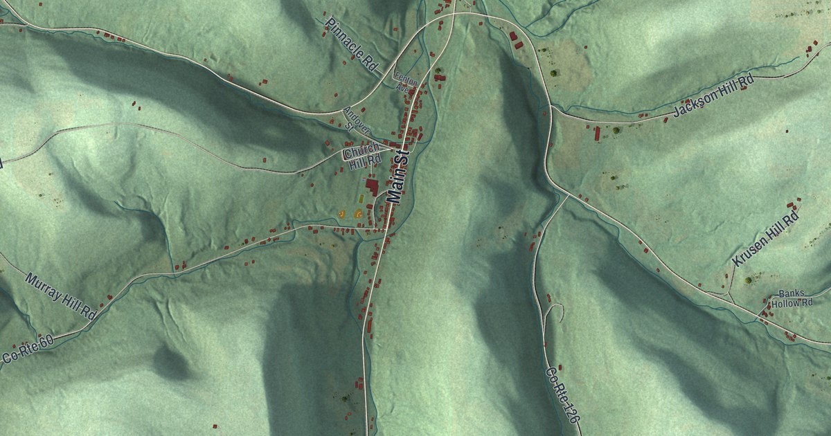
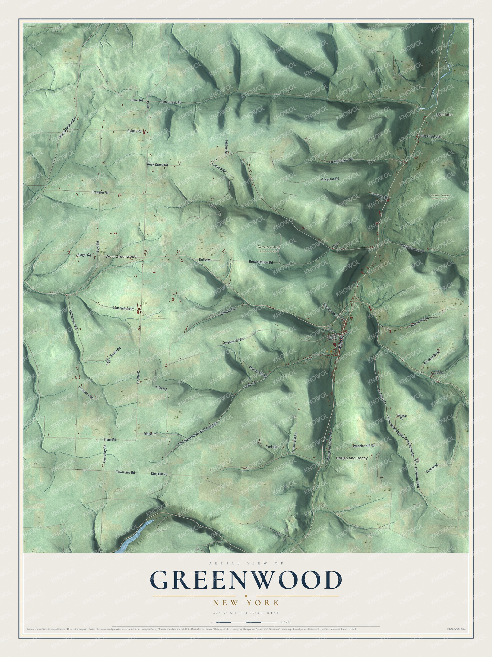
This beautifully detailed map of Greenwood, New York was created in 2026 using aerial imagery combined with modern topographical, census, street and landmark data. It’s a one-of-a-kind view of Greenwood that combines accurate data with a vintage aesthetic. The map shows every building in its true location, many of the roads carry their names, and the shaded topographic relief shows the shape of the land.
Explore an aerial view of Greenwood, New York
On the map you’ll find Bennetts, Rough and Ready, West Greenwood, and Turkey Ridge State Forest, along with Main Street, Flynn Road, Ridge Road, Dennison Road, Shovel Hollow Road, and more. If you look closely you can even find your house accurately drawn in its correct location. Zoom in on the preview to look for yours.
Did You Know?
In 1967, librarian and antiquarian bookseller Harold Mason started the Greenwood Press in this town. The company reprinted out-of-print books. It was sold in 1969 and is now the Greenwood Publishing Group. That firm has had no connection to the town since the 1970s.
Take a closer look at the Greenwood map
Names on this map
These names are printed on this map.
Places: Bennetts, Rough and Ready, West Greenwood, Greenwood State Forest and Turkey Ridge State Forest.
Streets and roads: Main Street, Flynn Road, Ridge Road, Dennison Road, Shovel Hollow Road, Slaght Road, Dryden Hill Road, County Route 126, County Route 60, Erskin Hollow Road, Lane School Road, King Hill Road.
More street names, A to Z
Andover Street, Banks Hollow Road, Boyd Road, Brewster Road, Brown Hollow Road, Cemetery Road, Christian Hollow West Union Road, Church Hill Road, Clancy Road, Colby Creek Road, County Route 61, Cr 61, Dixon Road, Fenton Avenue, Friar Road, German Hill Road, Greenwood Road, Hyland Road, Jackson Hill Road, Kelly Road, Krusen Hill Road, Leonard Road, Lounsberry Road, Murray Hill Road, Norton Hollow Road, O'Hargan Road, Pease Road, Pierson Road, Pinnacle Road, Reiman Road, Rock Creek Road, Rogers Road, Rough and Ready Road, Slate Creek Road, Town Line Road, Troupsburg Highup Greenwood Road, Turner Road, Van Sickle Road, Wheeler Hill Road, White Road, Williamson Road, York Road.
See it on a wall
The Greenwood map as a framed print. Swipe for more.


This beautifully detailed map of Greenwood makes an attractive addition to your office, library, or den, and it can even be used to teach children the geography and history of the area. It also makes a great gift for someone who left Greenwood and still calls it home. When you’re done exploring, click here to get your copy of the Greenwood map.