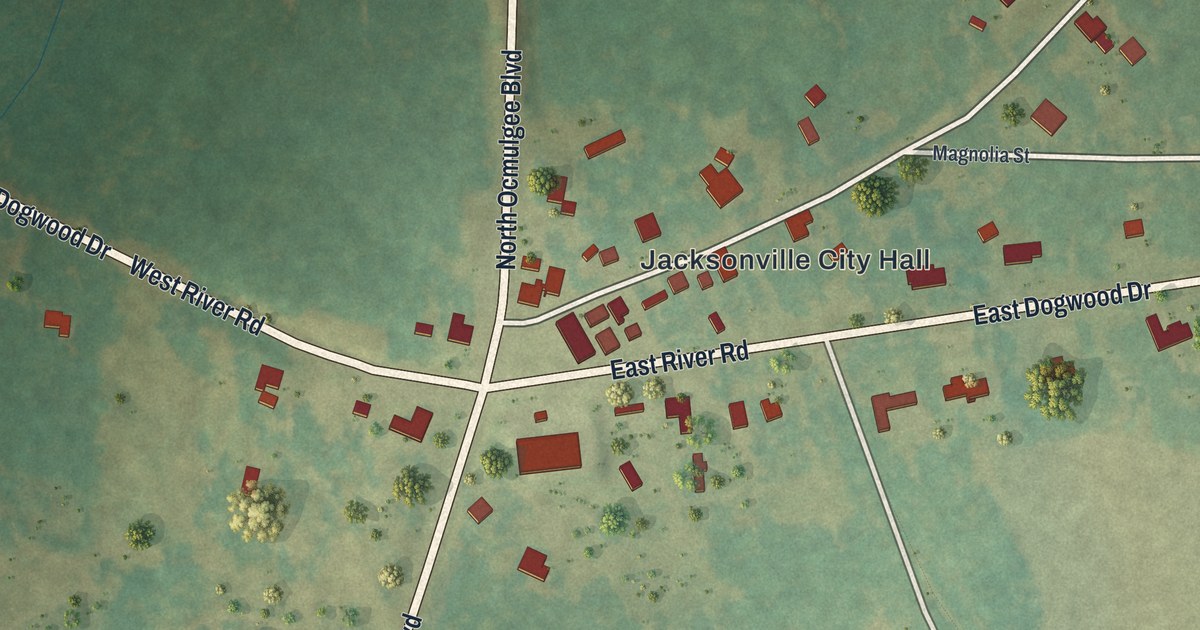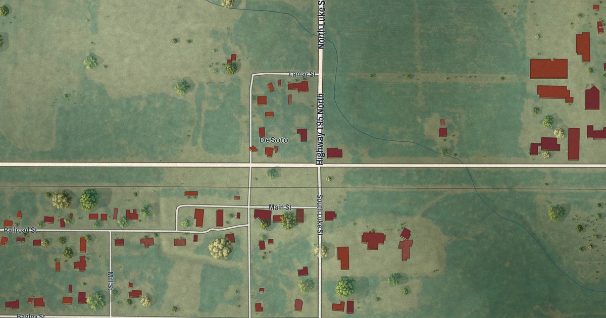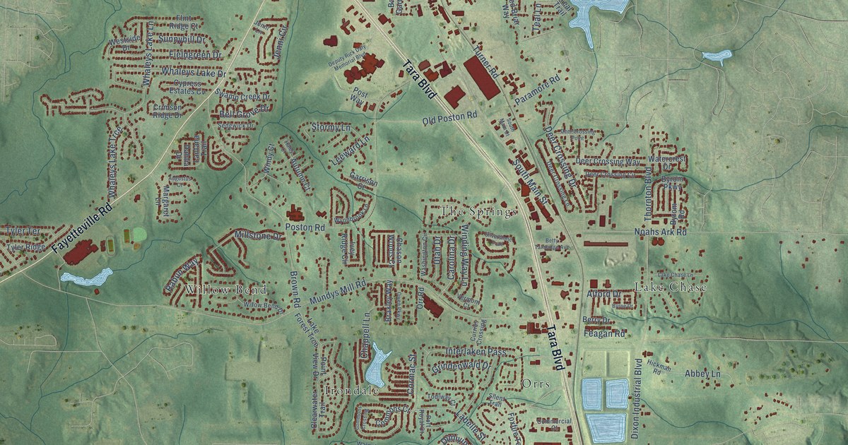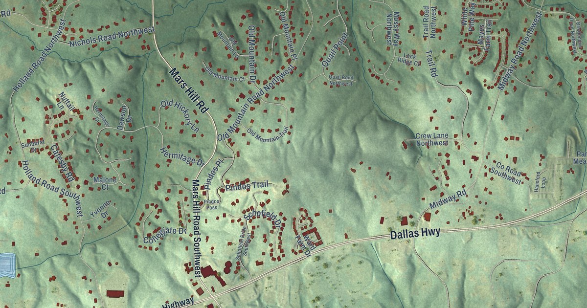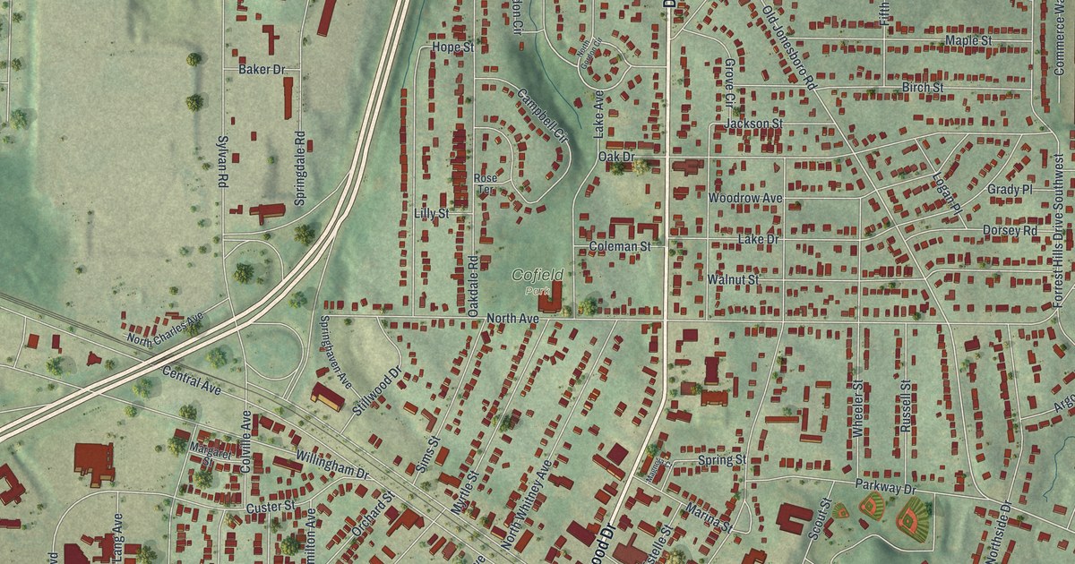
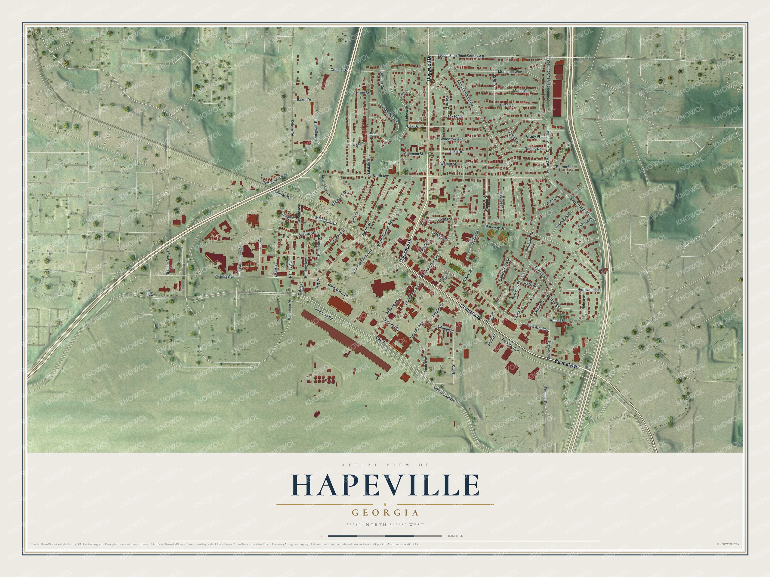
This beautifully detailed map of Hapeville, Georgia was created in 2026 using aerial imagery combined with modern topographical, census, street and landmark data. It’s a one-of-a-kind view of Hapeville that combines accurate data with a vintage aesthetic. The map shows every building in its true location, many of the roads carry their names, and the shaded topographic relief shows the shape of the land.
Explore an aerial view of Hapeville, Georgia
On the map you’ll find Woolman Place and Cofield Park, along with Dogwood Drive, Central Avenue, Mount Zion Road, Porsche Avenue, and more. If you look closely you can even find your house accurately drawn in its correct location. Zoom in on the preview to look for yours.
Did You Know?
Hapeville was founded in 1891 and named for Dr. Samuel Hape. He was among the first landowners in the area and served as the first mayor. Hape and several of his relatives lie buried in Oakland Cemetery in Atlanta.
Take a closer look at the Hapeville map
Names on this map
These names are printed on this map.
Places: Cofield Park.
Streets and roads: Dogwood Drive, Central Avenue, Mount Zion Road Southwest, Porsche Avenue, Woolman Place, Gordon Circle, Old Jonesboro Road, Northwoods Place, Airport Loop Road, International Boulevard, North Avenue, Virginia Avenue.
More street names, A to Z
Argo Drive, Arnold Street, Atlanta Avenue, Baker Drive, Barnett Drive, Barton Drive, Birch Street, Campbell Circle, Central Park Drive, Chestnut Street, Claire Drive, Clay Place, Cofield Drive, Coleman Street, College Street, Colorado Avenue, Colville Avenue, Commerce Way Southeast, Custer Street, Dearborn Plaza, Dorsey Road, Doug Davis Drive, Elkins Street, Elm Street, Estelle Street, Fifth Street, Forrest Hills Drive, Forrest Hills Drive Southwest, Georgia Avenue, Grady Place, Grove Circle, Hamilton Avenue, Harding Avenue, Hope Street, Interloop Road, Jackson Street, King Arnold Street, Lake Avenue, Lake Drive, Lang Avenue, Lavista Circle, Lavista Drive, Lilly Street, Logan Place, Louise Street, Magnolia Court, Maple Street, Margaret Street, Marina Street, Moreland Way, Myrtle Street, Norman Berry Drive, North Charles Avenue, North Fulton Avenue, North Gordon Circle, Northside Drive, North Whitney Avenue, Oakdale Road, Oak Drive, Oakridge Avenue, Oak Street, Orchard Street, Parkview Place, Parkview Vix, Parkway Drive, Perkins Court, Porsche Drive, Radar Drive, Rainey Avenue, Rose Terrace, Russell Street, Scout Street, Sherman Road, Sims Street, South Fulton Avenue, South Street, South Whitney Avenue, Springdale Road, Springhaven Avenue, Spring Street, Stillwood Drive, Sunset Avenue, Sylvan Road, Toffie Terrace, Union Avenue, Victoria Lane, Walnut Street, Wheeler Street, Willingham Drive, Woodland Drive, Woodrow Avenue.
See it on a wall
The Hapeville map as a framed print. Swipe for more.


This beautifully detailed map of Hapeville makes an attractive addition to your office, library, or den, and it can even be used to teach children the geography and history of the area. It also makes a great gift for anyone with Hapeville roots. When you’re done exploring, click here to get your copy of the Hapeville map.