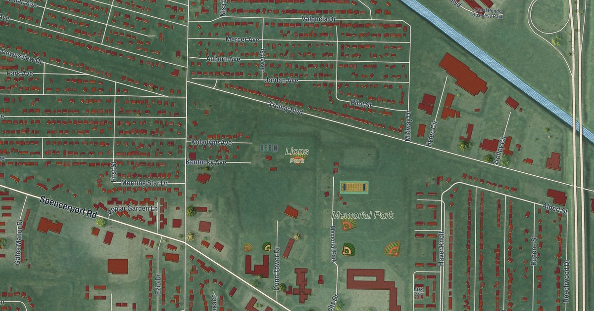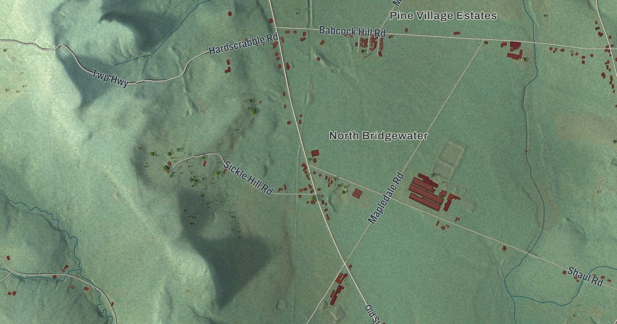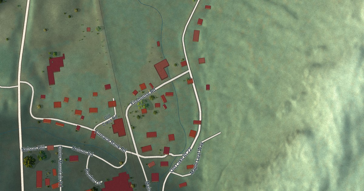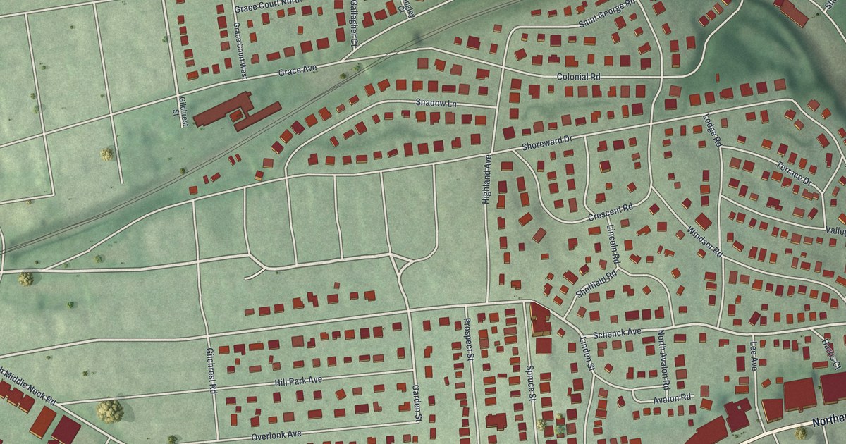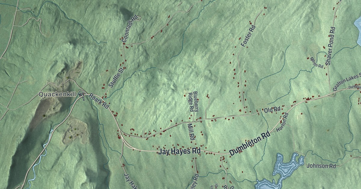
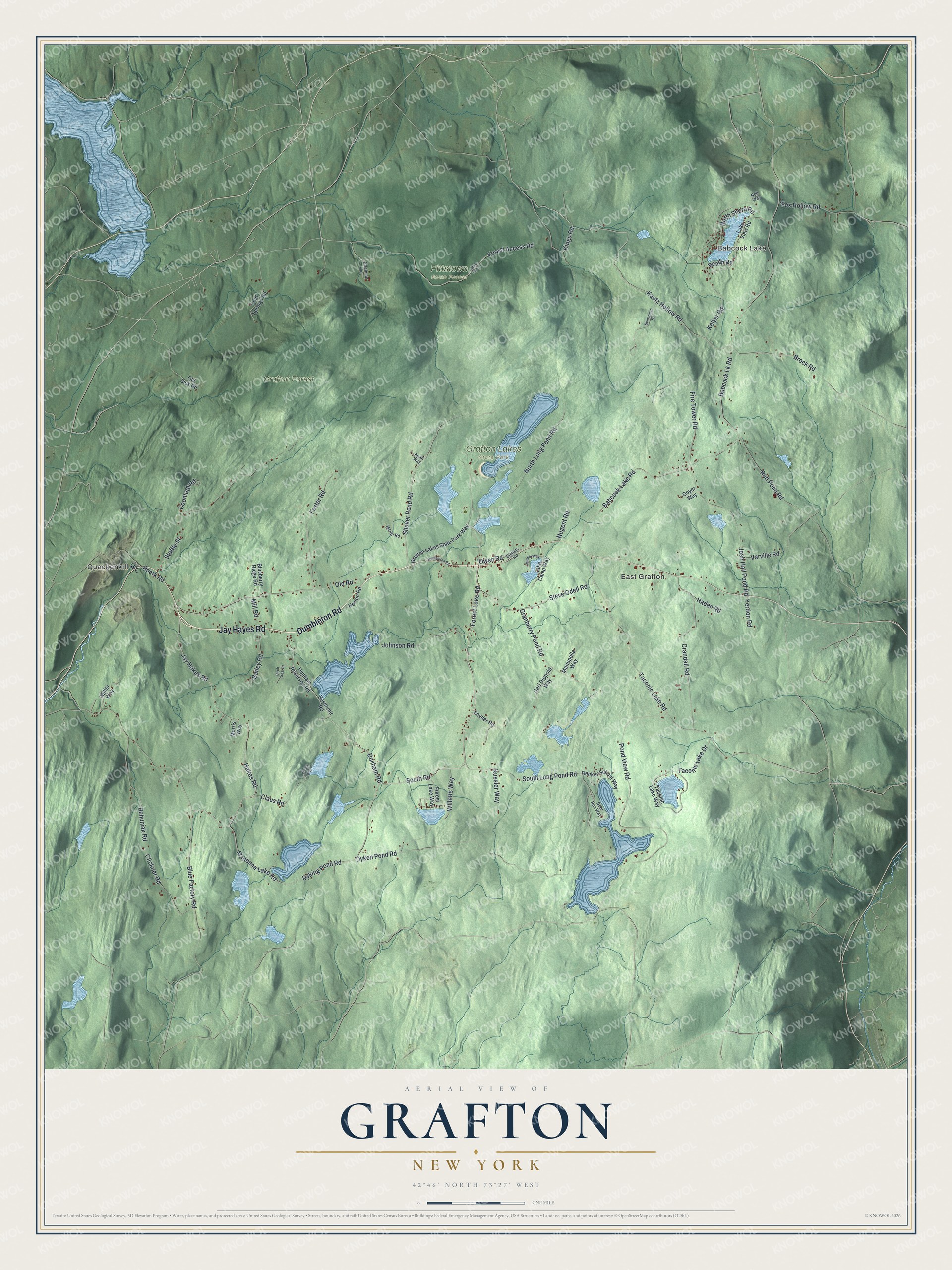
This beautifully detailed map of Grafton, New York was created in 2026 using aerial imagery combined with modern topographical, census, street and landmark data. It’s a one-of-a-kind view of Grafton that combines accurate data with a vintage aesthetic. The map shows every building in its true location, many of the roads carry their names, and the shaded topographic relief shows the shape of the land.
Explore an aerial view of Grafton, New York
On the map you’ll find Babcock Lake, Quackenkill, East Grafton, Grafton Forest, Grafton Lakes State Park, and Pittstown State Forest, along with Jay Hayes Road, Dumbleton Road, South Road, Long Pond Road, Dunham Road, and more. If you look closely you can even find your house accurately drawn in its correct location. Zoom in on the preview to look for yours.
Did You Know?
Around 1855, Caleb W. Scriven began making shirts in Grafton. He brought the first sewing machine to town. His workers sewed in their own homes, and the finished shirts were shipped to New York City. Many local families earned good money from the trade.
Take a closer look at the Grafton map
Names on this map
These names are printed on this map.
Places: Babcock Lake, Quackenkill, East Grafton, Grafton Forest, Grafton Lakes State Park and Pittstown State Forest.
Streets and roads: Jay Hayes Road, Dumbleton Road, South Road, North Long Pond Road, Dunham Road, Shaver Pond Road, Forest Lake Road, Kautz Hollow Road, South Long Pond Road, Brock Road, Jay Hakes Road, Babcock Lk Road.
More street names, A to Z
Agan Way, Babcock Lake Road, Bailey Road, Beach Road, Behuniak Road, Beiderman Road, Benker School Way, Birch Crest Drive, Blueberry Ridge Road, Blue Factory Road, Carl Dippold Way, Claus Road, Clickner Road, Cold Springs Road, Coonradt Road, Cranberry Pond Road, Crandall Road, Deer Run Way, Dunham Reservoir Road, Dyken Pond Road, Dyking Pond Road, Edelman Lane, Fire Tower Road, Forest Access Road, Forest Lake Way, Foster Road, Fox Hollow Road, Goyer Way, Grafton Lakes State Park Way, Haden Road, Hakes Road, Horton Road, Johnson Road, Josh Hall Pond Road, Kelyer Road, Kings Road, Kussler Way, Lake Camp Way, Lake View Road, Madonna Lake Road, Manupella Way, Martin Road, Middle Way, Miller Way, Mill Road, Morris Way, Neil Way, North Shore Road, Nugent Road, Ny 2, Old Road, Old Siek Road, Owen Road, Pond View Road, Red Pond Road, Reservoir Road, Roark Road, Simons Road, Snyder Road, State Fire Lane, Steve Odell Road, Stuffle Street, Taconic Lake Drive, Taconic Lake Road, Taconic Lake Way, Varville Road, Wapiti Way, Willetts Way, Yerdon Road.
See it on a wall
The Grafton map as a framed print. Swipe for more.


This beautifully detailed map of Grafton makes an attractive addition to your office, library, or den, and it can even be used to teach children the geography and history of the area. It also makes a great gift for someone who left Grafton and still calls it home. When you’re done exploring, click here to get your copy of the Grafton map.