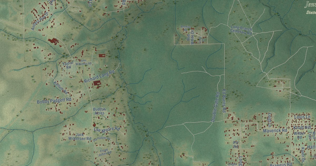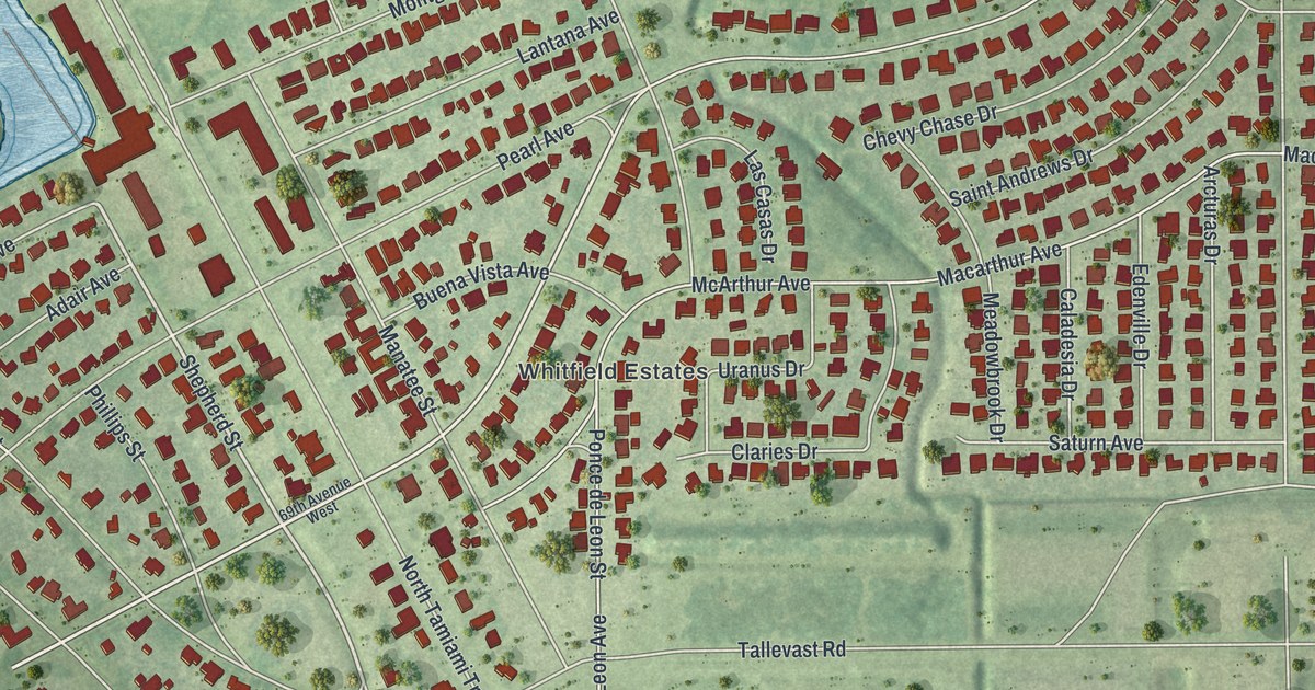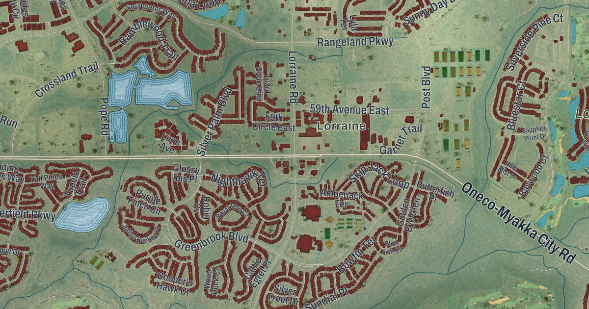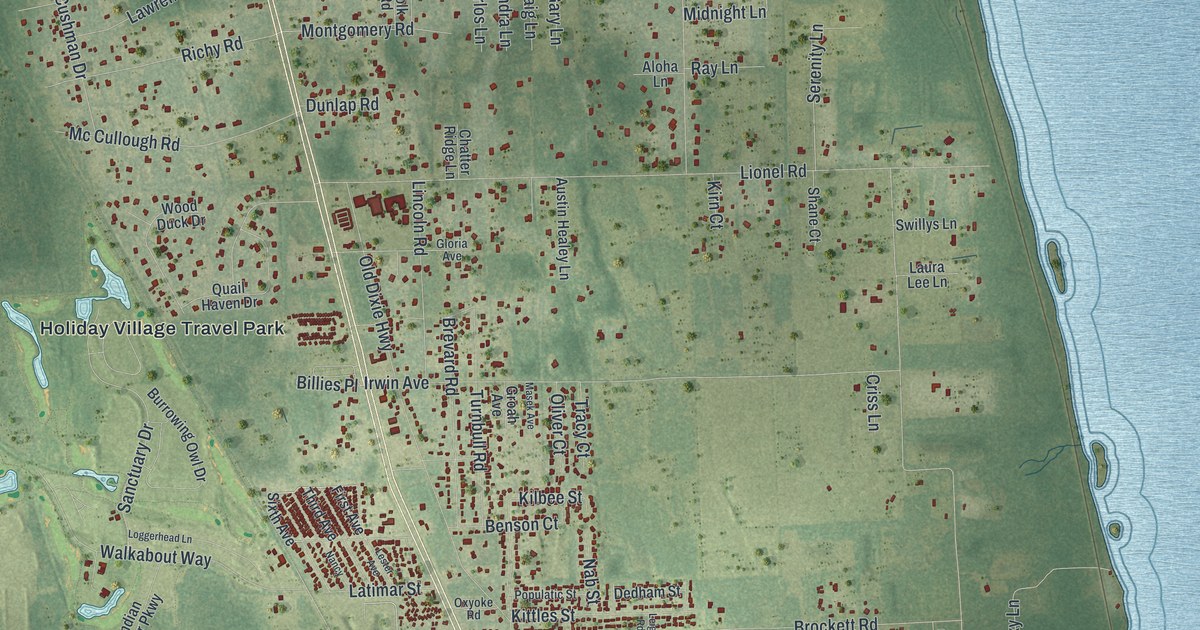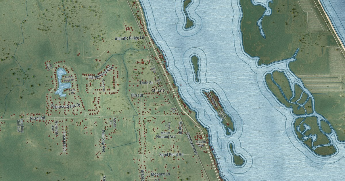
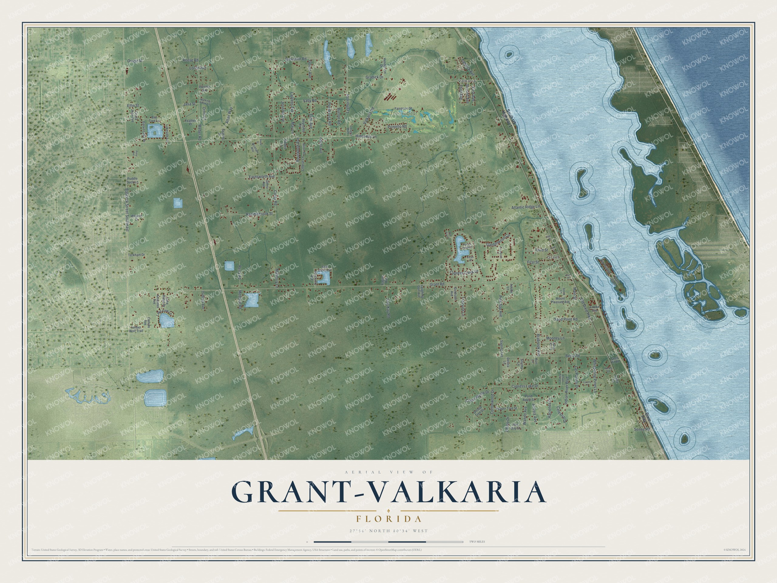
This beautifully detailed map of Grant-Valkaria, Florida was created in 2026 using aerial imagery combined with modern topographical, census, street and landmark data. It’s a one-of-a-kind view of Grant-Valkaria that combines accurate data with a vintage aesthetic. The map shows every building in its true location, many of the roads carry their names, and the shaded topographic relief shows the shape of the land.
Explore an aerial view of Grant-Valkaria, Florida
On the map you’ll find Valkaria, Grant, and The Habitat, along with Old Dixie Highway, Cypress Creek Drive, Tadlock Avenue, Grant Road, Valkaria Road, Babcock Street Southeast, Corey Road, Brabrook Avenue, Berry Road, and more. If you look closely you can even find your house accurately drawn in its correct location. Zoom in on the preview to look for yours.
Did You Know?
The town formed on July 25, 2006, when the communities of Grant and Valkaria joined together. Grant began in 1925 and has a history as a fishing village. The name Valkaria comes from the Valkyries, warrior maidens of Norse mythology.
Take a closer look at the Grant-Valkaria map
Names on this map
These names are printed on this map.
Places: Valkaria, Grant and The Habitat.
Streets and roads: Old Dixie Highway, Cypress Creek Drive, Tadlock Avenue, Grant Road, Valkaria Road, Babcock Street Southeast, Corey Road, Brabrook Avenue, Berry Road, Indian River Boulevard, Gardenwood Circle, Weber Road.
More street names, A to Z
Adkins Avenue, Adobe Lane, Altair Way, Amandas Avenue, Artesia Avenue, Atlantic Ridge Lane, Bay Tree Lane, Benjamin Road, Bobbie Lane, Burton Road, Canvas Avenue, Celestial Drive, Chain Fern Lane, Clough's Walk, Cooke Avenue, Cottonwood Drive, Country Place, Coverbrook Lane, Crepe Myrtle Drive, Crista Jean Avenue, Cypress Lake Drive, Delora Lane, Dixie Highway, Eagles Avenue, Edisto Drive, Elfin Street, Fairgreen Street, Farnsworth Avenue, Feather Place, Ficus Place, Fifth Street, First Avenue, First Street, Foley Lane, Garvin Lake Drive, Goldrush Avenue, Govan Avenue, Gradick Drive, Grant Island, Hacienda Drive, Henderson Drive, Hideaway Lane, Honey Lane, Hunters Run Circle, Jasa Street, Jennifer Avenue, Judy Kay Road, Kries Place, Kurt Lane, Lake Ridge Drive, Lakeside Lane, Lake View Lane, Las Pamos Drive, Laughing Gull Avenue, Laurens Avenue, Leghorn Road, Litteral Lane, Lortie Avenue, Main Street, May Lane, Medjool Road, Milton Road, Mooney Lane, Mount Pleasant Avenue, Mulberry Lane, Orchid Tree Drive, Ornis Court, Osage Street, Outback Avenue, Painted Bunting Place, Parsley Avenue, Patsy Avenue, Pepper Tree Street, Perry Road, Pine Sap Avenue, Pomello Road, Pond Apple Street, Ponderosa Road, Puddle Duck Lane, Ramblebrook Street, Red Bay Lane, Red Bay Street, Reese Road, Reynolds Road, Rosewood Avenue, Safe Haven Street, Sanctuary Avenue, Sand Point Road, Sapling Avenue, Second Avenue, Senne Road, Serna Avenue, Shell Pit Road, Snook Lane, Soaring Drive, South US Highway 1, Steele Street, Stormy Lane, Terkham Drive, Third Avenue, Third Street, Timber Wolf Trail, Toby Avenue, Treasure Lane, Vally Road, Vip Island, Walking Horse Lane, Wando Avenue, Whispering Pines Lane, Whynot Drive, Wickham Way.
See it on a wall
The Grant-Valkaria map as a framed print. Swipe for more.


This beautifully detailed map of Grant-Valkaria makes an attractive addition to your office, library, or den, and it can even be used to teach children the geography and history of the area. It also makes a great gift for anyone with Grant-Valkaria roots. When you’re done exploring, click here to get your copy of the Grant-Valkaria map.