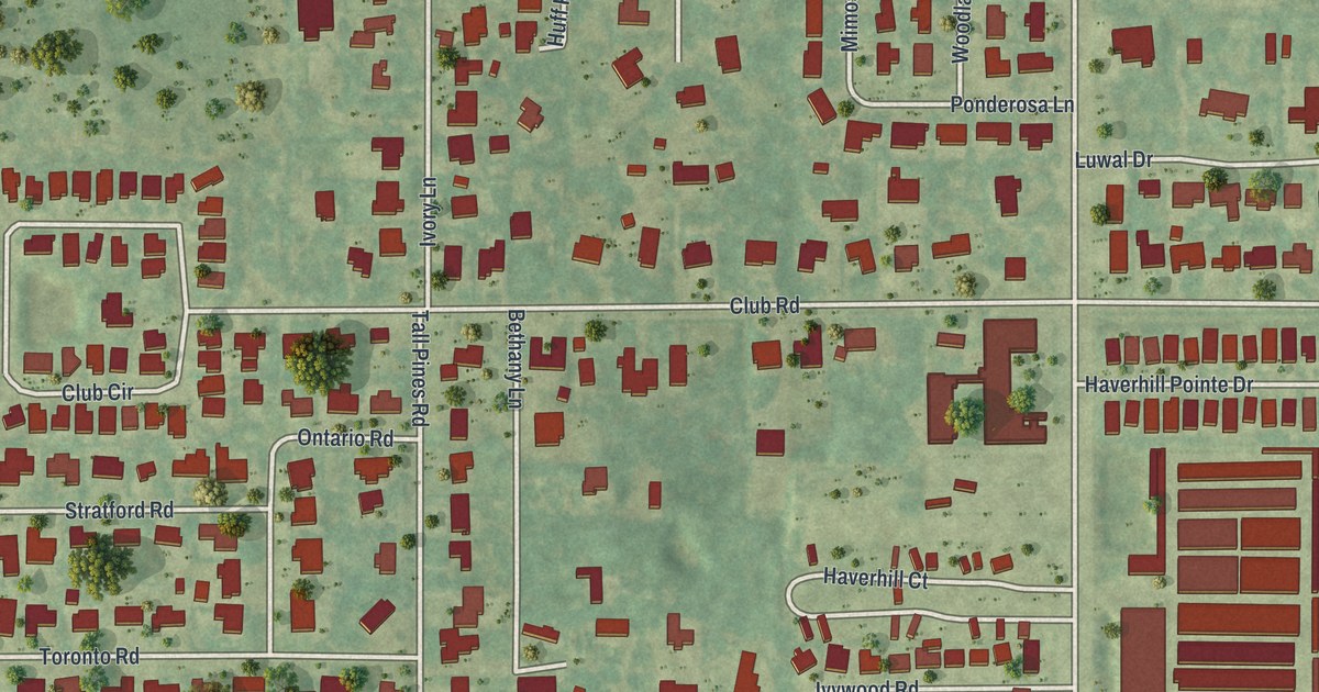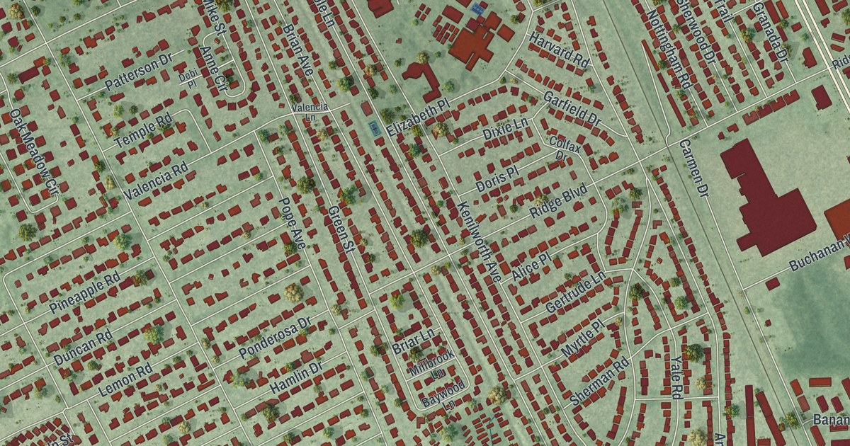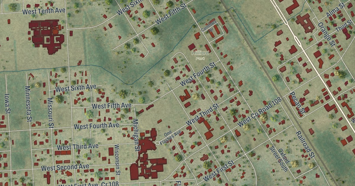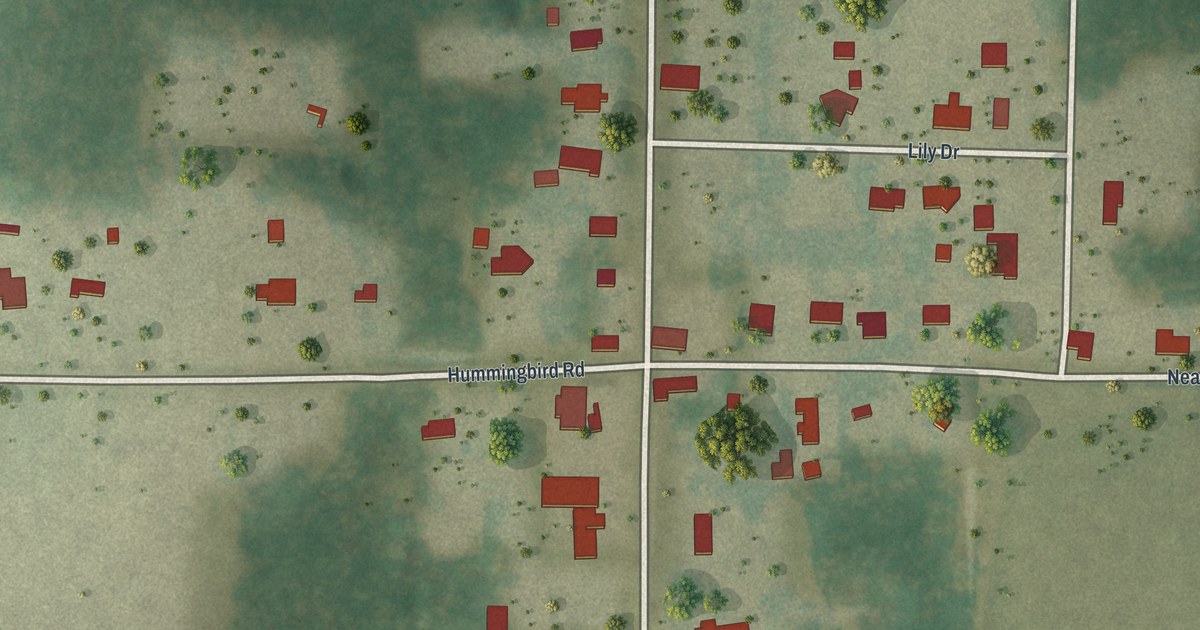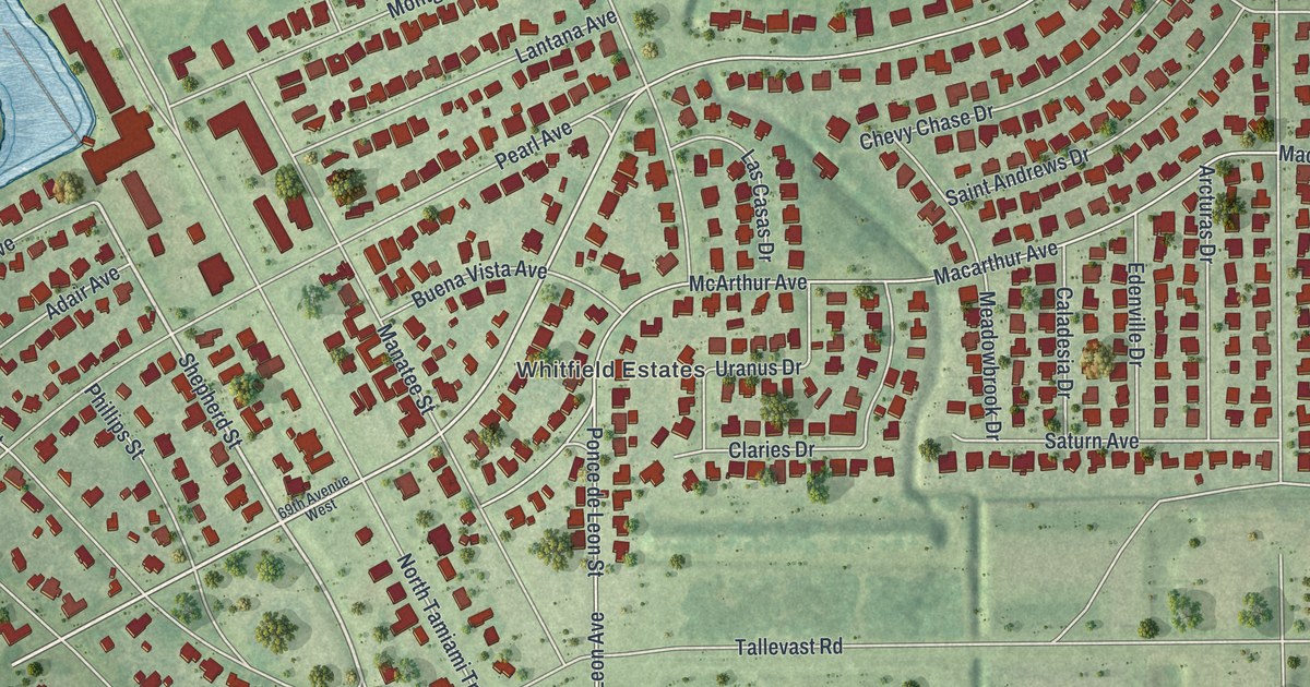
This beautifully detailed map of Whitfield, Florida was created in 2026 using aerial imagery combined with modern topographical, census, street and landmark data. It's a modern aerial view of Whitfield in Manatee County, Florida, that combines modern data with a vintage aesthetic. The roads feature printed names, and if you look closely you can find your exact house accurately shown in its correct location.
Explore an aerial view of Whitfield, Florida
On this map you'll find Whitfield Estates, Ballentine Manor, Whitfield Avenue, Longbay Boulevard, Shepherd Street, 69th Avenue East, Magellan Drive, North Tamiami Trail, Westmoreland Drive, Broughton Street, McArthur Avenue, Pennsylvania Avenue, and more. Each red shape is a building, so zoom in on the preview and look for yours.
Whitfield is a community in Manatee County. The Census Bureau counted 2,989 people here in 2020. Whitfield sits about 2 miles southeast of Bayshore Gardens, 4 miles northwest of Desoto Acres and 4 miles south of South Bradenton. The map prints the town name in its title panel, with the coordinates below it.
Take a closer look at the Whitfield map
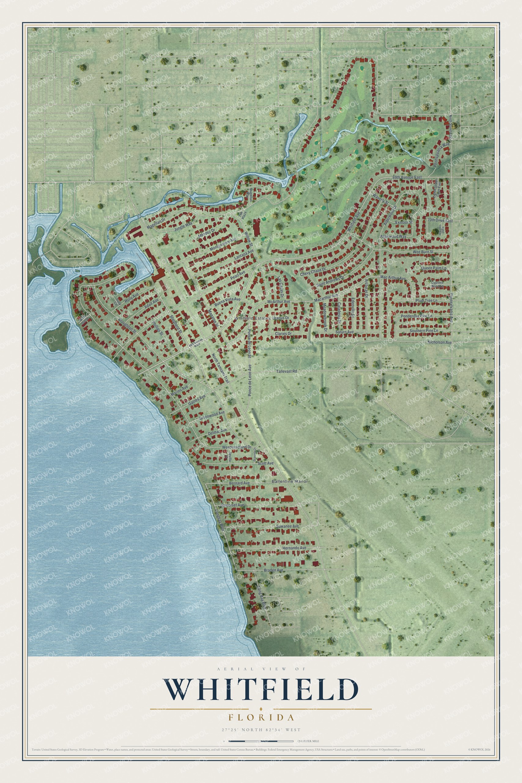
Names on this map
These names are printed on this map.
Places: Whitfield Estates and Ballentine Manor.
Streets and roads: Whitfield Avenue, Longbay Boulevard, Shepherd Street, 69th Avenue East, Magellan Drive, North Tamiami Trail, Westmoreland Drive, Broughton Street, McArthur Avenue, Pennsylvania Avenue, Macarthur Avenue, Pearl Avenue.
More street names, A to Z
69th Avenue West, 70th Drive East, Adair Avenue, Alderwood Drive, Alderwood Way, Arcturas Drive, Bernard Avenue, Braden Avenue, Buena Vista Avenue, Caladesia Drive, Chevy Chase Drive, Claries Drive, Cypress Wood Lane, Delmar Avenue, Edenville Drive, Eighth Court East, Eighth Street Court East, Exmoor Street, Gaines Avenue, Granada Court, Greenwood Avenue, Hernando Avenue, Holly Avenue, Holly Circle, Jungle Way, Lantana Avenue, Las Casas Drive, Long Bay Boulevard, Mac Arthur Avenue, Magellan Way, Manatee Street, Marino Avenue, Meadowbrook Drive, Mendez Drive, Montgomery Avenue, Nicholson Avenue, Ninth Street East, North Isle Drive, Pennsylvania Way, Phillips Street, Plum Tree Lane, Ponce de Leon Avenue, Ponce de Leon Street, Ponderosa Pine Lane, Queen Palm Lane, Saint Andrews Drive, Saturn Avenue, Scott Avenue, Sevilla Court, Somerset Avenue, Southern Pine Lane, Suwanee Avenue, Tallevast Road, The Plaza, Uranus Drive, Waverly Street, Wee Burn Street, Willow Street.
See it on a wall
The Whitfield map as a framed print. Swipe for more.


Created by KNOWOL in 2026. The buildings are small red shapes, the roads carry their printed names, and shaded relief shows the shape of the land. The title panel reads "AERIAL VIEW OF WHITFIELD, FLORIDA" with 27°25' NORTH 82°34' WEST.
Hang it in the hallway, the office or the cabin, or give it to someone who left Whitfield and still calls it home. Open the preview and look for a street you know. See sizes and frames for the Whitfield map.