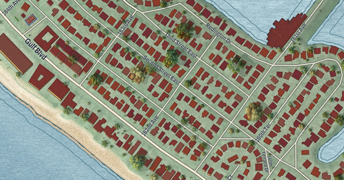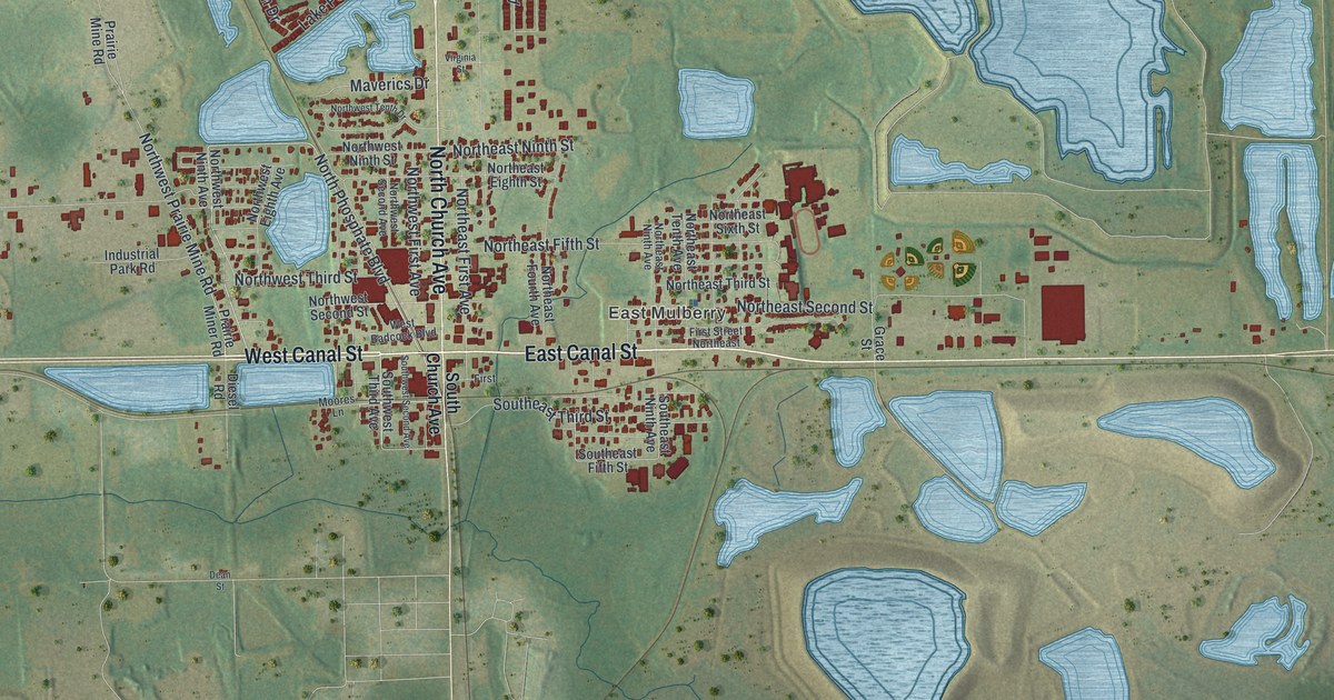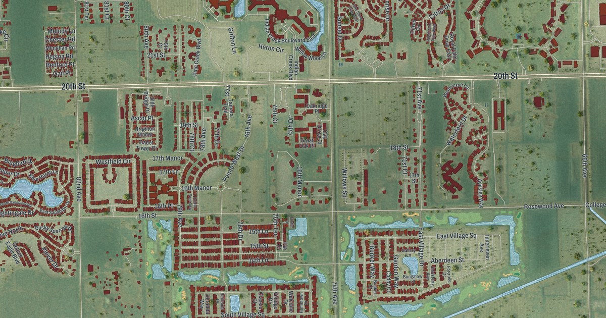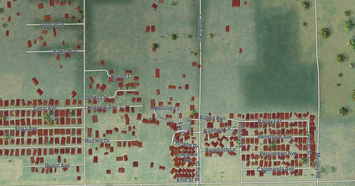
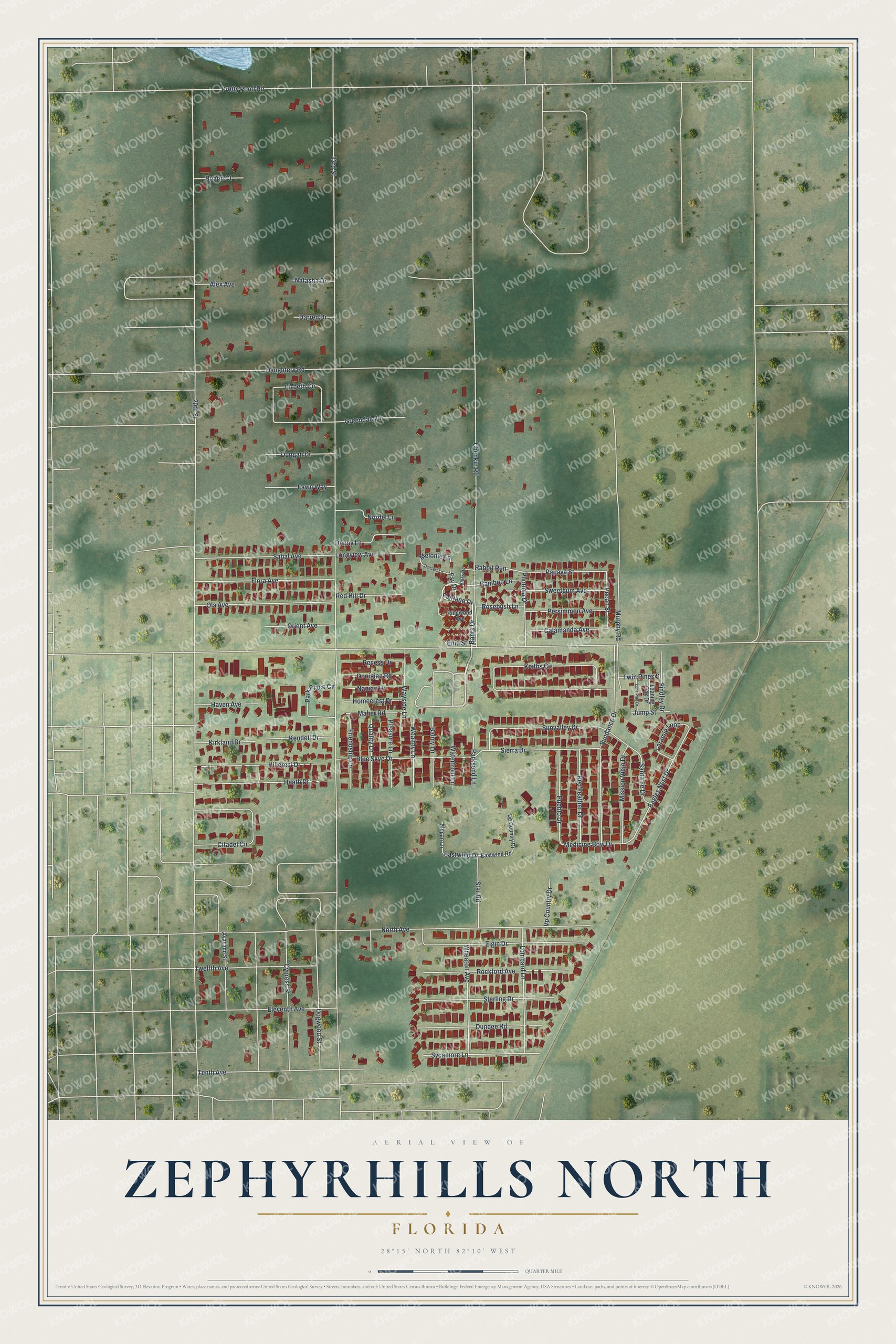
This beautifully detailed map of Zephyrhills North, Florida was created in 2026 using aerial imagery combined with modern topographical, census, street and landmark data. It's a modern aerial view of Zephyrhills North in Pasco County, Florida, that combines modern data with a vintage aesthetic. The roads feature printed names, and if you look closely you can find your exact house accurately shown in its correct location.
Explore an aerial view of Zephyrhills North, Florida
On this map you'll find Fairlane Drive, Bahrs Drive, Papaya Street, Pecan Street, Melonie Lane, Eagles Nest Drive, Medicine Bow Drive, Eastwind Drive, 23rd Street, 20th Street, North Avenue, Chenkin Road, and more. Each red shape is a building, so zoom in on the preview and look for yours.
Zephyrhills North is a community in Pasco County. The Census Bureau counted 2,663 people here in 2020. Zephyrhills North sits about 3 miles northeast of Zephyrhills West, 3 miles northeast of Zephyrhills South and 5 miles north of Crystal Springs. The map prints the town name in its title panel, with the coordinates below it.
Take a closer look at the Zephyrhills North map
Names on this map
These names are printed on this map.
Streets and roads: Fairlane Drive, Bahrs Drive, Papaya Street, Pecan Street, Melonie Lane, Eagles Nest Drive, Medicine Bow Drive, Eastwind Drive, 23rd Street, 20th Street, North Avenue, Chenkin Road.
More street names, A to Z
Alex Avenue, Avacado Street, Balmy Lane, Bamboo Lane, Bloss Drive, Blue Skye Drive, Calamanda Avenue, Citadel Circle, Cypress Street, Dancers Lane, Darren Drive, Daughtery Road, Denny Lane, Dogwood Street, Donigian Road, Dundee Road, Dungan Drive, Eastwind Road, Eleventh Avenue, Elgin Drive, Enid Street, Fawn Way, Fay Drive, Findley Drive, Flora Avenue, Friendship Lane, Greendale Lane, Haven Avenue, Heath Drive, Hillcrest Drive, Homecrest Drive, Jump Street, Keiths Circle, Kendell Drive, Kirkland Drive, Laramie Loop, Leaning Oak Drive, Lizbeth Circle, Lombard Lane, Lone Pine Drive, Longview Avenue, Maher Road, Megan Lane, Mission Viejo Drive, Murphy Road, Nanian Drive, Natasha Drive, Nordel Lane, Ola Avenue, Orient Avenue, Park Place Circle, Parksend Lane, Persimmon Avenue, Photinia Drive, Pleasure Lane, Pretty Pond Road, Pueblo Drive, Quality Lane, Rabbit Run, Recess Drive, Red Feather Drive, Red Hill Drive, Ringwood Avenue, Rockford Avenue, Rosebush Lane, Ruann Court, Sabal Avenue, Santa Fe Drive, Sierra Drive, Star Road, Sterling Drive, Sundance Drive, Sunvalley Drive, Sweetgum Avenue, Sycamore Lane, Tenth Avenue, Twelfth Avenue, Twin Pines Street, Up Country Drive, Vp Country Drive, Waterfront Lane, Wayside Lane, Wealthy Lane, Wheaton Avenue.
See it on a wall
The Zephyrhills North map as a framed print. Swipe for more.


Created by KNOWOL in 2026. The buildings are small red shapes, the roads carry their printed names, and shaded relief shows the shape of the land. The title panel reads "AERIAL VIEW OF ZEPHYRHILLS NORTH, FLORIDA" with 28°15' NORTH 82°10' WEST.
It suits a den, a classroom or a front hall, and it makes a gift for anyone with Zephyrhills North roots. Open the preview and find the block you know. See sizes and frames for the Zephyrhills North map.