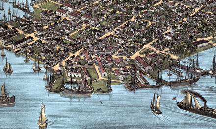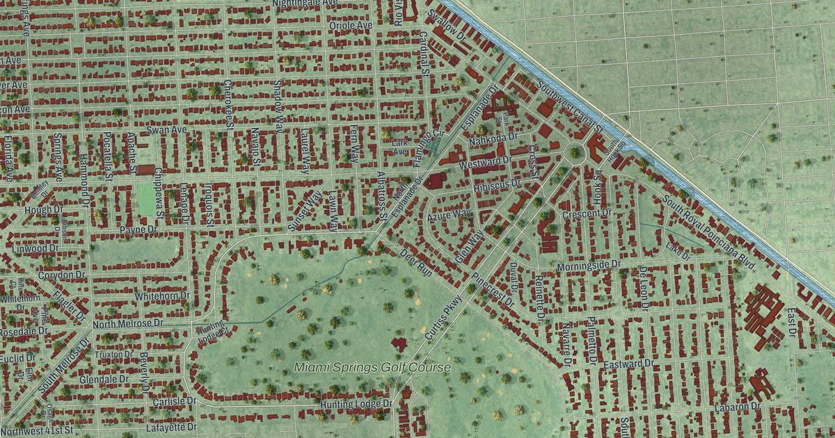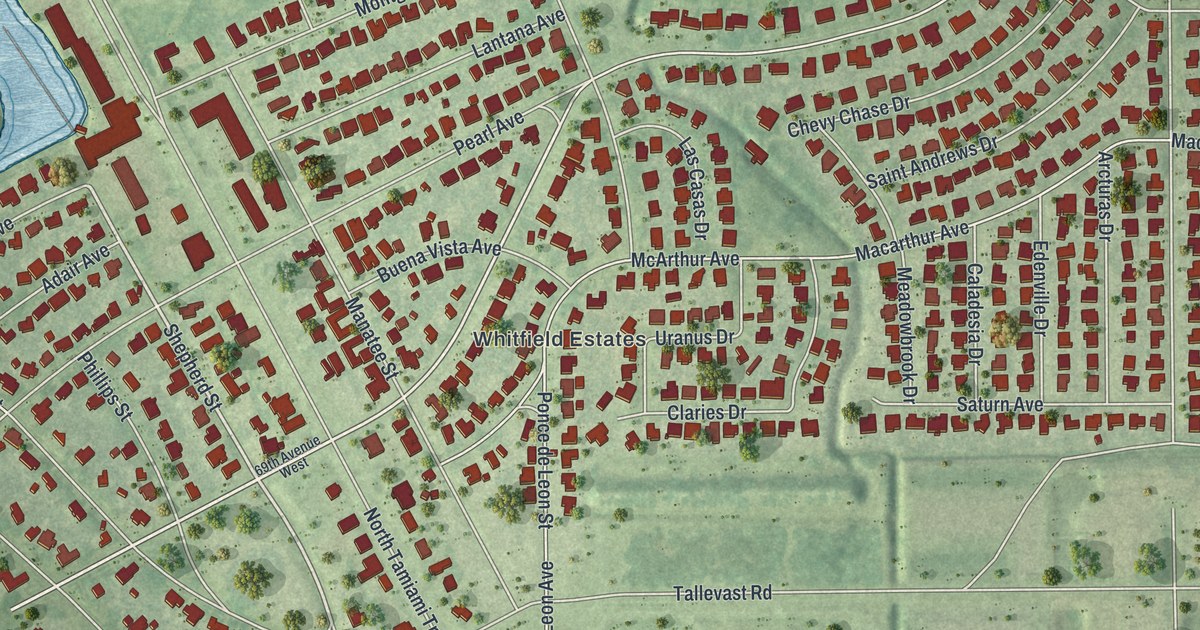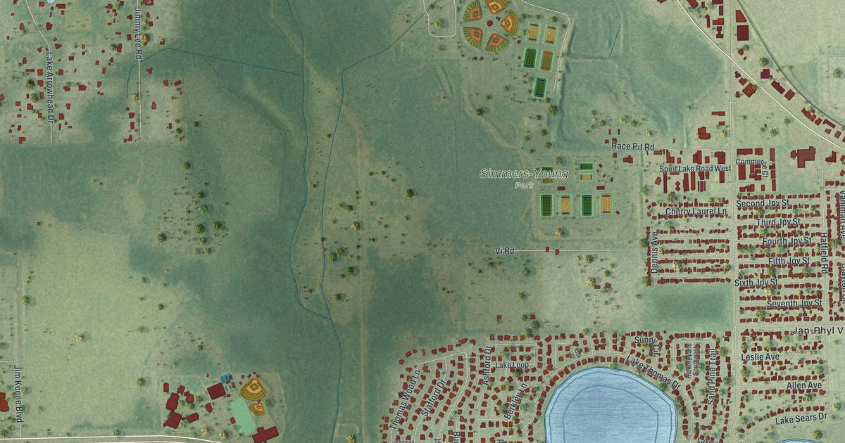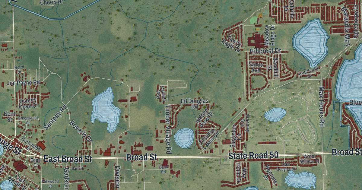
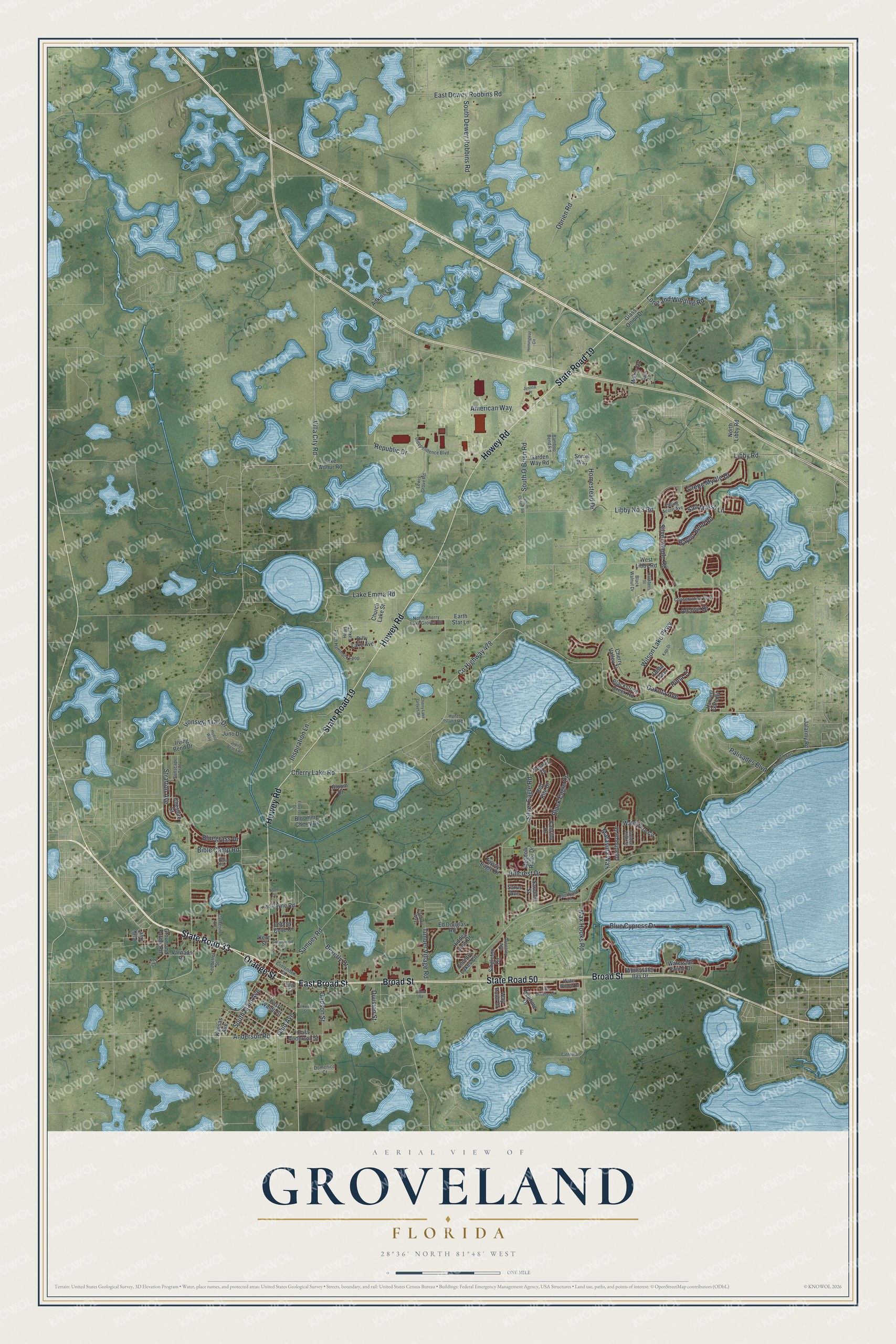
This beautifully detailed map of Groveland, Florida was created in 2026 using aerial imagery combined with modern topographical, census, street and landmark data. It’s a one-of-a-kind view of Groveland that combines accurate data with a vintage aesthetic. The map shows every building in its true location, many of the roads carry their names, and the shaded topographic relief shows the shape of the land.
Explore an aerial view of Groveland, Florida
On the map you’ll find State Road 33, East Broad Street, Broad Street, Orange Street, State Road 19, State Road 50, Howey Road, Beverly Drive, Ohio Avenue, Anderson Road, Villa City Road, County Highway 478, and more. If you look closely you can even find your house accurately drawn in its correct location. Zoom in on the preview to look for yours.
Did You Know?
In 1949, four young Black men later called the Groveland Four were accused of rape here. Police killed one during his arrest, and an all-white jury convicted the others. Thurgood Marshall helped win them a new trial. In 2016 the city apologized, and in 2021 a judge cleared all four.
Take a closer look at the Groveland map
Names on this map
These names are printed on this map.
Streets and roads: State Road 33, East Broad Street, Broad Street, Orange Street, State Road 19, State Road 50, Howey Road, Beverly Drive, Ohio Avenue, Anderson Road, Villa City Road, County Highway 478.
More street names, A to Z
Adkins Lane, Alcove Drive, American Way, Bamboo Bend Road, Bayou Bend Road, Bella Way, Bible Camp Road, Black Eagle Drive, Blackstone Creek Road, Black Walnut Drive, Bloom Court, Blooming Cherry Drive, Blue Cypress Drive, Bluegrass Drive, Cabrillo Drive, Cataldo Way, Cathedral Lane, Catherine Lane, Cherry Lake Groves Road, Cherry Lake Road, Cherry Valley Tl, Cheshire Street, Church Lake Street, Conservation Boulevard, Country Lakes Circle, Courtyard Lane, Crepe Myrtle Drive, Crittenden Street, Dakota Avenue, Delta Avenue, Dilly Lake Avenue, Division Street, Domenico Court, Earth Star Lane, East Anderson Street, East Dewey Robbins Road, East Waldo Street, Ed Douglas Road, Edge Court, Falling Acorn Avenue, Florets Drive, Gadson Street, Gano Road, Garden Way Road, Gator Lane, Glass Onion Drive, Golden Club Street, Greenley Avenue, Greenwood Street, Groveland Farms Road, Hackberry Street, Hart Street, Harvest Gate Bv, Heart Lake Drive, Hemingway Circle, Hidden View Drive, Hillcrest Drive, Homestead Drive, Hunt Island Road, Hydra Way, Independence Boulevard, Inspiration Lane, Ironside Trail Drive, Irving Bend Drive, Jalarmy Road, Jim Payne Road, Juno Drive, Jupiter Beach Road, Justice Place, Kansas Avenue, Kapi Drive, Kent Street, Kestrel Drive, Key Court, Lake Arthur Road, Lake Douglas Drive, Lake Emma Road, Lake Minneola Shrs, Ledbetter Street, Lewis Grove Road, Libby No 3 Road, Libby Road, Long and Winding Road, Maravilla Way, Max Hooks Road, Meadow Ridge Drive, Mike's Drive, Neptune Drive, North Cherry Lake Groves Road, North Drive, North Libby Road, Obrien Road, Oglethorpe Drive, Osprey Cove Cr, Palisades Boulevard, Park Avenue, Parkwood Street, Perch Hammock Loop, Pima Tl, Red Kite Drive, Republic Drive, Salt Marsh Lane, Sampey Road, Sandhill Street, Sarus Avenue, Silver Eagle Road, Silver Maple Road, Singleton Circle, Sorrel Way, South Dewey Robbins Road, South Main Avenue, South O'Brien Road, South Obrien Road, Stratton Avenue, Sunscape Trail, Tawny Eagle Drive, Timber Village Road, Varnado Road, Water Fern Circle, Waterside Pointe Drive, Water Willow Drive, Way Point Drive, West Libby Road, Whitewater Bay Drive, Wilson Lake Parkway.
See it on a wall
The Groveland map as a framed print. Swipe for more.


This beautifully detailed map of Groveland makes an attractive addition to your office, library, or den, and it can even be used to teach children the geography and history of the area. It also makes a great gift for anyone with Groveland roots. When you’re done exploring, click here to get your copy of the Groveland map.