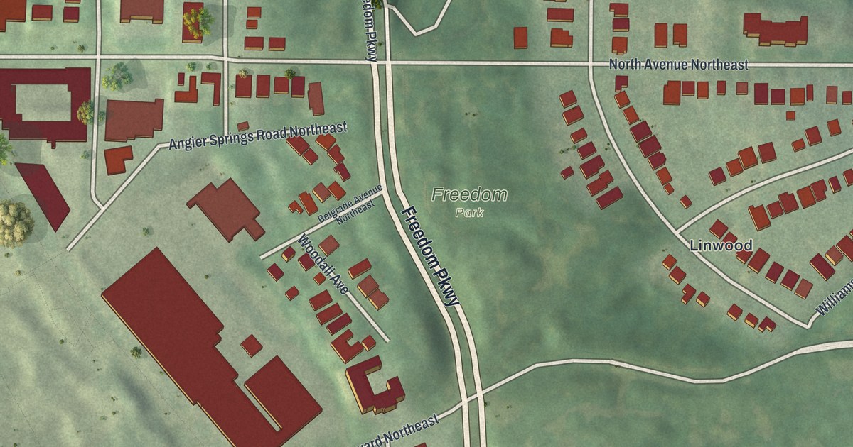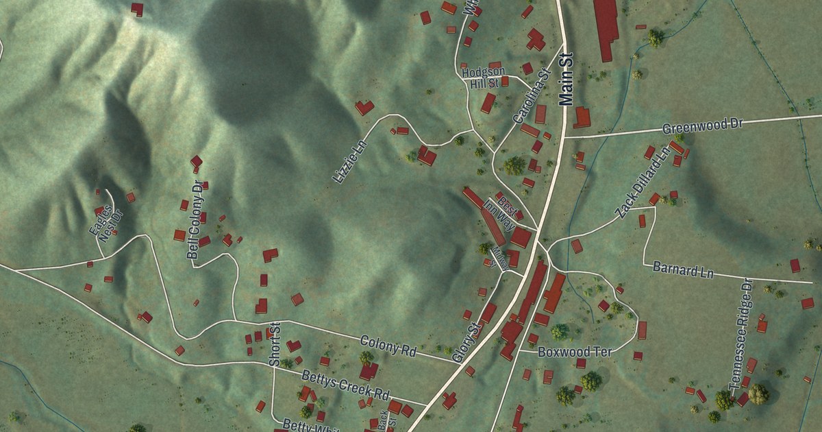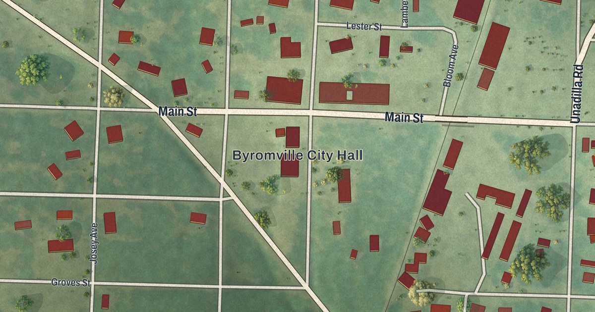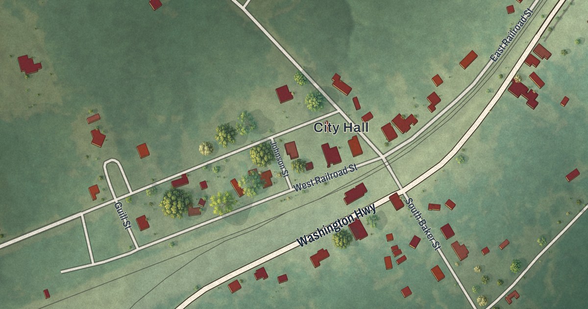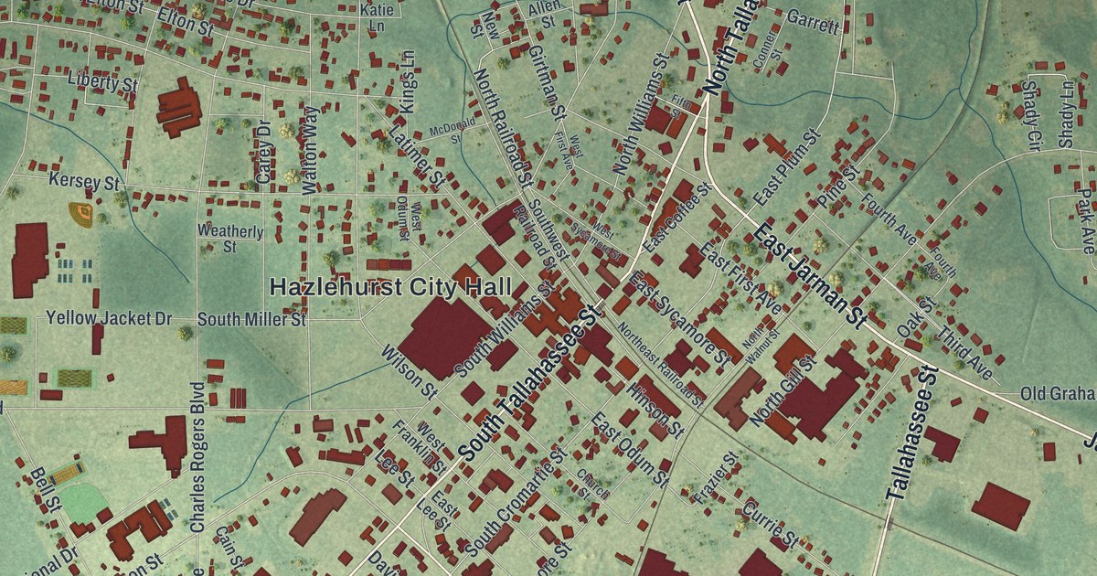
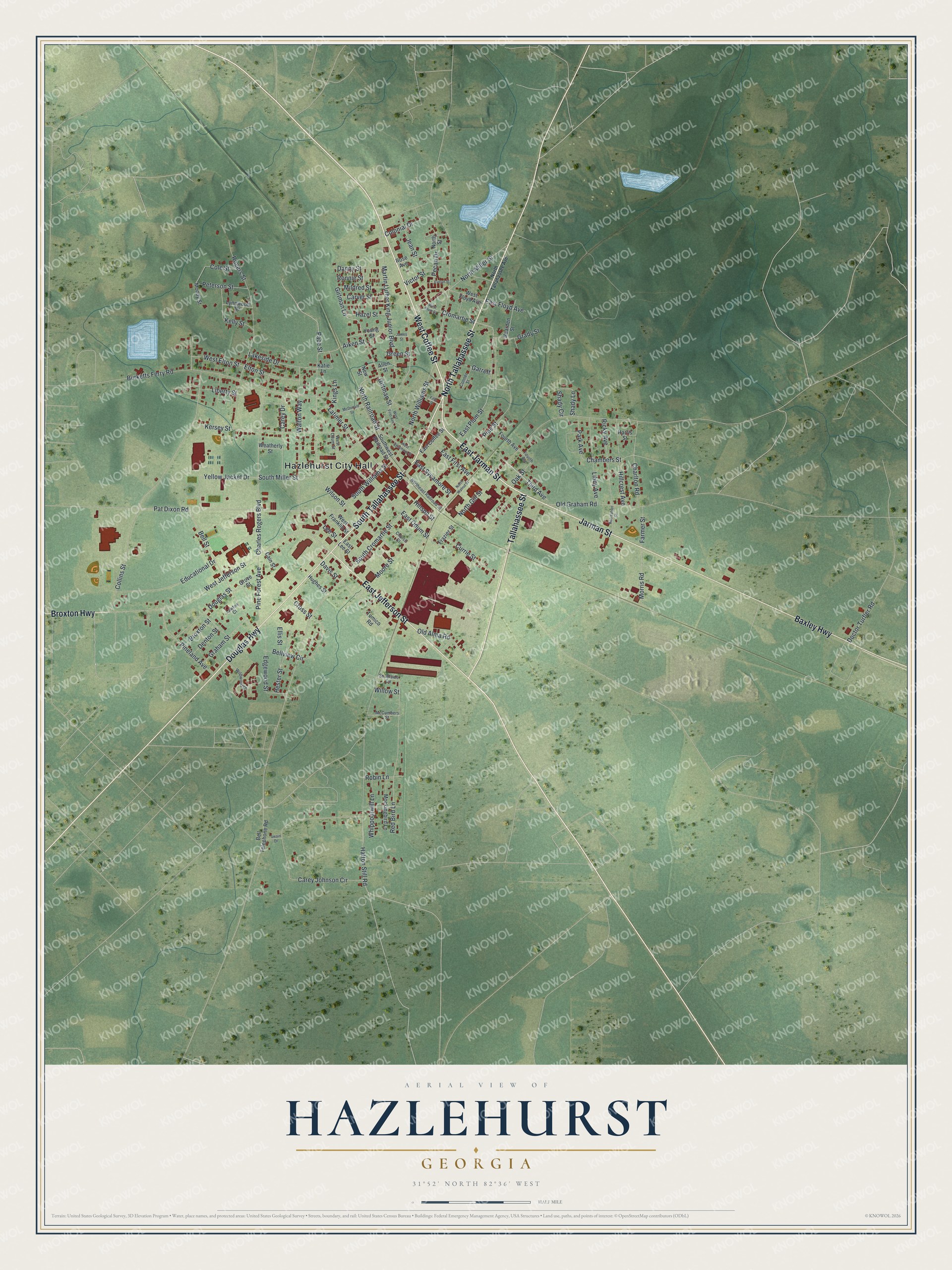
This beautifully detailed map of Hazlehurst, Georgia was created in 2026 using aerial imagery combined with modern topographical, census, street and landmark data. It’s a one-of-a-kind view of Hazlehurst that combines accurate data with a vintage aesthetic. The map shows every building in its true location, many of the roads carry their names, and the shaded topographic relief shows the shape of the land.
Explore an aerial view of Hazlehurst, Georgia
On the map you’ll find Hazlehurst City Hall, along with Tallahassee Street, Coffee Street, Jarman Street, Douglas Highway, and more. If you look closely you can even find your house accurately drawn in its correct location. Zoom in on the preview to look for yours.
Did You Know?
The area was first called Handtown, after the Hand family who lived here. A real community grew only after the Macon and Brunswick Railroad built a depot here around 1880. The stop was first called Milepost 8. It was later named for railroad surveyor Col. George Hazlehurst.
Take a closer look at the Hazlehurst map
Names on this map
These names are printed on this map.
Places: Hazlehurst City Hall.
Streets and roads: North Tallahassee Street, West Coffee Street, East Jarman Street, Jarman Street, Tallahassee Street, Douglas Highway, East Jefferson Street, South Tallahassee Street, Baxley Highway, Broxton Highway, North Railroad Street, Charlton Road.
More street names, A to Z
Aiken Street, Allen Street, Bearden Street, Bell Street, Bell Telephone Road, Bellview Circle, Broxton Street, Burketts Ferry Road, Cain Street, Carey Drive, Carey Johnson Circle, Carver Street, Chambers Street, Charles Rogers Boulevard, Church Street, Cole Street, Collins Street, Colonial Drive, Conner Street, Cromartie Street, Cross Street, Currie Street, Danny Street, Davis Street, Denton Street, Doctor Turfler Road, Douglas Street, East Coffee Street, East First Avenue, East Floyd Avenue, East Lee Street, East Odum Street, East Plum Street, East Sycamore Street, Edgewood Street, Educational Drive, Ellis Street, Elton Street, Evelyn Street, Farmer Street, Fifth Street, Fourth Avenue, Frazier Street, Garrett, Girtman Lane, Girtman Street, Grady Street, Graham Street, Green Street, Grove Street, Harris Street, Hatton Still Road, Hazel Street, Hester Street, Hillcrest Avenue, Hinson Street, Hughes Street, James Street, Jean Street, Katie Lane, Kelly Street, Kersey Street, Kings Lane, Lakeside Drive, Latimer Street, Lawton Court, Lee Street, Libby Avenue, Liberty Street, Lynnwood Drive, Martin Luther King Junior Boulevard, McCumbers Street, McDonald Street, Mildred Street, Mockingbird Lane, Moody Street, Moore Street, Morris Road, New Street, Northeast Railroad Street, North Gill Street, North Miller Street, North Street, North Tallahassee Avenue, North Walnut Street, North Williams Street, Oak Street, Old Alma Road, Old Graham Road, Pace Street, Park Avenue, Pat Dixon Road, Pecan Drive, Peterson Street, Pine Forest Avenue, Pineland Avenue, Pine Street, Recreation Street, Red Bird Lane, Ricky Avenue, Robin Lane, Rogers Street, Ronnie Street, Rose Avenue, Shady Circle, Shady Lane, South Cromartie Street, South Miller Street, Southside Circle, Southwest Railroad Street, South Williams Street, Swain Drive, Third Avenue, Tomico Road, Victor Street, Walton Way, Weatherly Street, West Elton Street, West First Avenue, West Floyd Avenue, West Franklin Street, West Jefferson Street, West Odum Street, West Plum Street, West Sycamore Street, Whippoorwill Lane, Wildwood Drive, Willow Street, Wilson Street, Yellow Jacket Drive, Young Street.
See it on a wall
The Hazlehurst map as a framed print. Swipe for more.


This beautifully detailed map of Hazlehurst makes an attractive addition to your office, library, or den, and it can even be used to teach children the geography and history of the area. It also makes a great gift for someone who left Hazlehurst and still calls it home. When you’re done exploring, click here to get your copy of the Hazlehurst map.