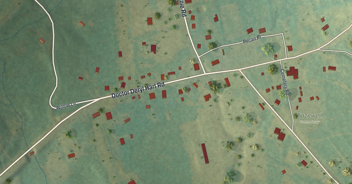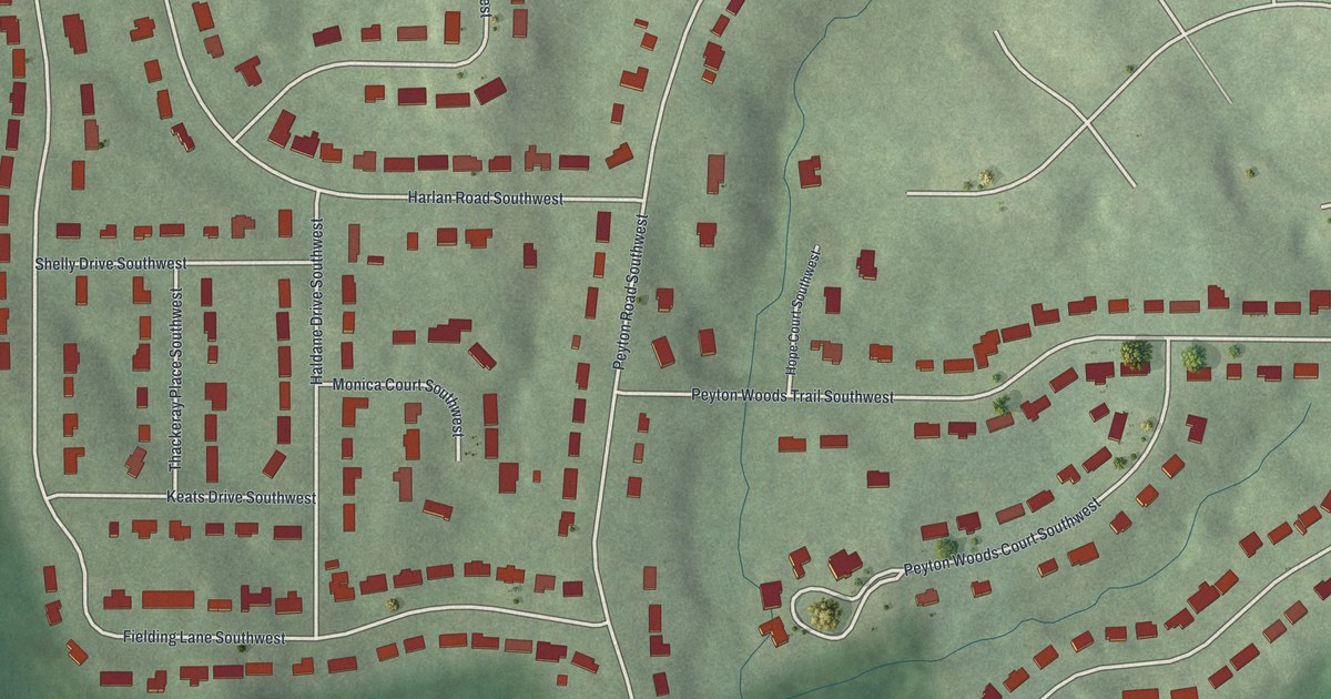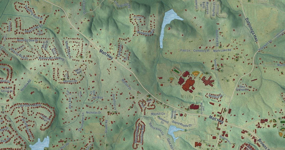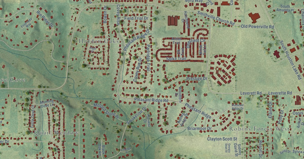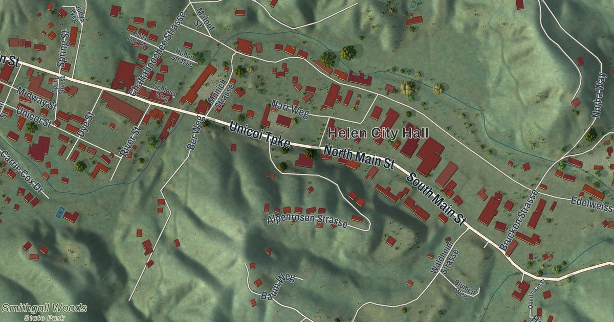
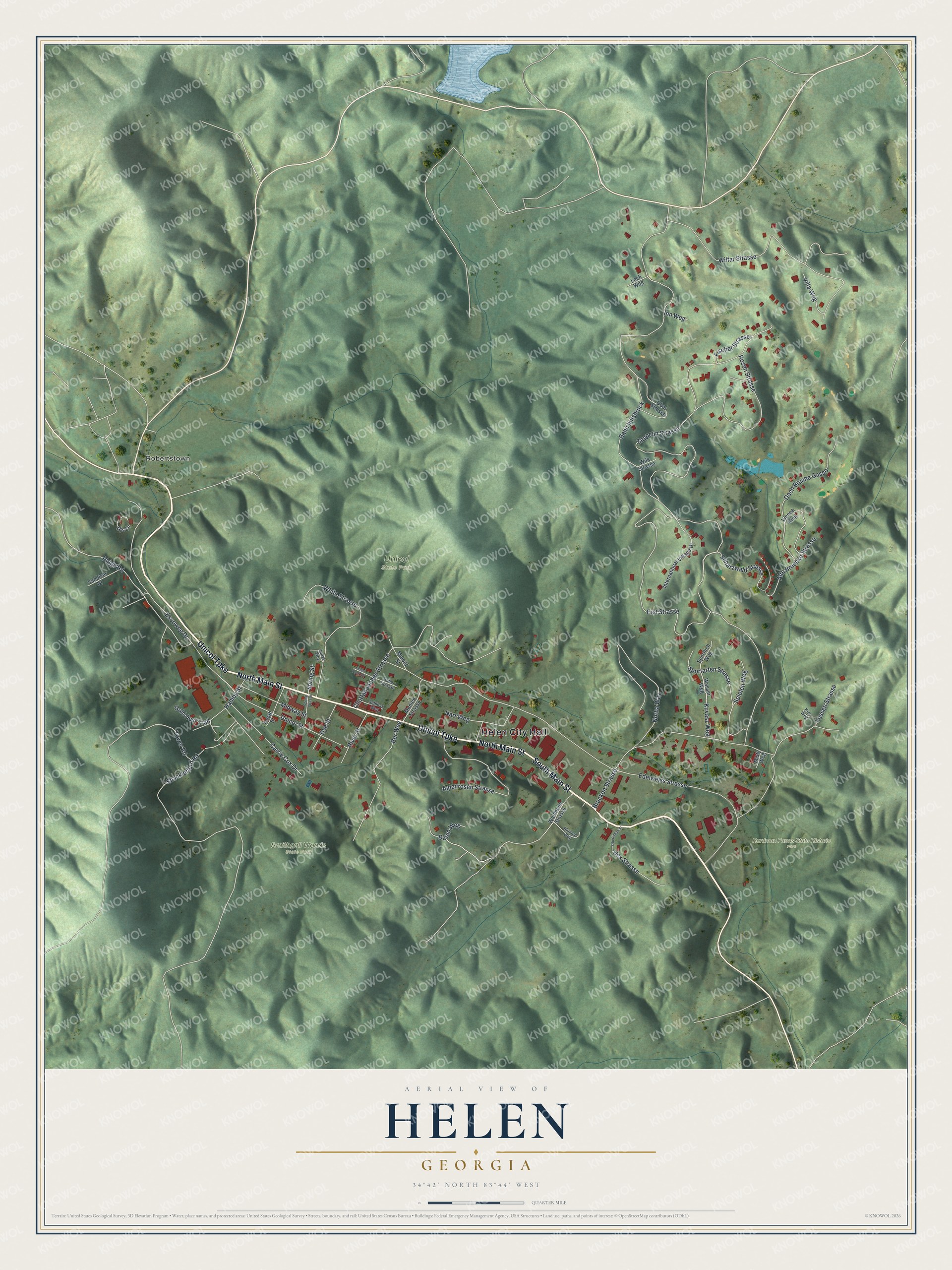
This beautifully detailed map of Helen, Georgia was created in 2026 using aerial imagery combined with modern topographical, census, street and landmark data. It’s a one-of-a-kind view of Helen that combines accurate data with a vintage aesthetic. The map shows every building in its true location, many of the roads carry their names, and the shaded topographic relief shows the shape of the land.
Explore an aerial view of Helen, Georgia
On the map you’ll find Helen City Hall, Zeppelin Strasse, Robertstown, Hardman Farms State Historic Park, Smithgall Woods State Park, and Unicoi State Park, along with Main Street, Unicoi Turnpike, Escowee Drive, and more. If you look closely you can even find your house accurately drawn in its correct location. Zoom in on the preview to look for yours.
Did You Know?
John E. Mitchell of St. Louis laid out Helen in 1912 and 1913. A lumber official offered his daughter’s name for the town, and few objected. Later the logging town fell on hard times. Zoning adopted in 1969 helped it come back as a Bavarian alpine village.
Take a closer look at the Helen map
Names on this map
These names are printed on this map.
Places: Helen City Hall, Robertstown, Hardman Farms State Historic Park, Smithgall Woods State Park and Unicoi State Park.
Streets and roads: North Main Street, South Main Street, Unicoi Turnpike, Zeppelin Strasse, Escowee Drive, Bahn Innsbruck, Edelweiss Strasse, Brucken Strasse, Erst Strasse, Wilfar Strasse, Chattahoochee Strasse, Norba Way.
More street names, A to Z
Alpenrosen Strasse, Alte Bruecke Strasse, Baum Weg, Ber Weg, Blumen Weg, Carrie Cox Drive, Dach Bruche Gasse, Djs Lane, Dye Street, Fischer Strasse, Fussen Strasse, Gold Dust Trail, Hamby Street, Hex Strasse, Hohen Strasse, Inn Weg, International Village Drive, Judys Weg, Kies Weg, Kuvasz Weg, Lech Weg, Maloof Street, Midway Street, Misty Weg, Munich Strasse, Narr Weg, Oberlindan Street, Ober Strasse, Petes Park Road, Ridge Road, River Street, Rosen Strasse, Scharzwald Strasse, Schloss Weg, Shackletford Road, Spielen Weg, Sportarten Strasse, Sportlich Weg, Spring Strasse, Spring Street, Tower Road, Unicoi Street, Vandiver Drive, Vienna Ring, Villa Weg, Waldheim Strasse, Wasser Weg, White Strasse, Wilk Strasse, Yonah Street.
See it on a wall
The Helen map as a framed print. Swipe for more.


This beautifully detailed map of Helen makes an attractive addition to your office, library, or den, and it can even be used to teach children the geography and history of the area. It also makes a great gift for someone who left Helen and still calls it home. When you’re done exploring, click here to get your copy of the Helen map.