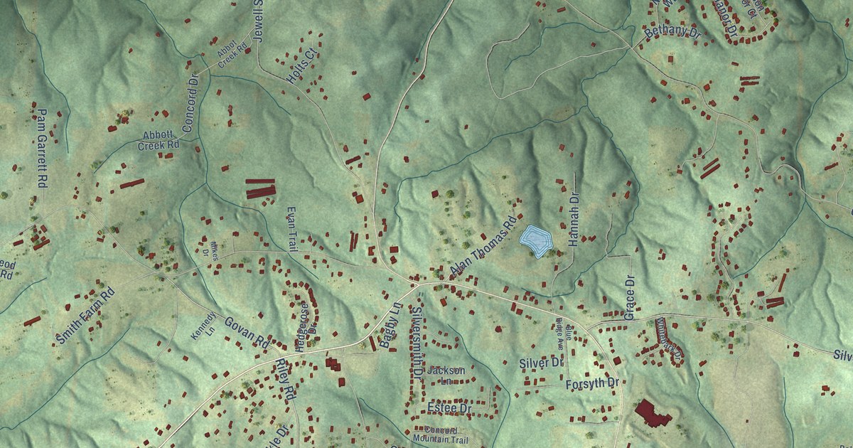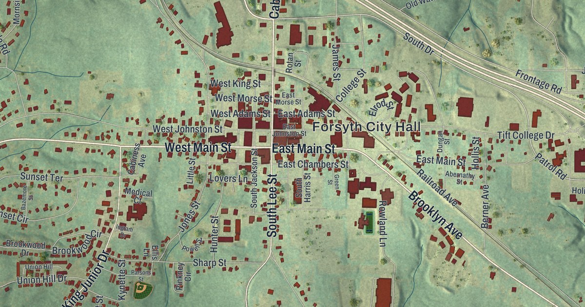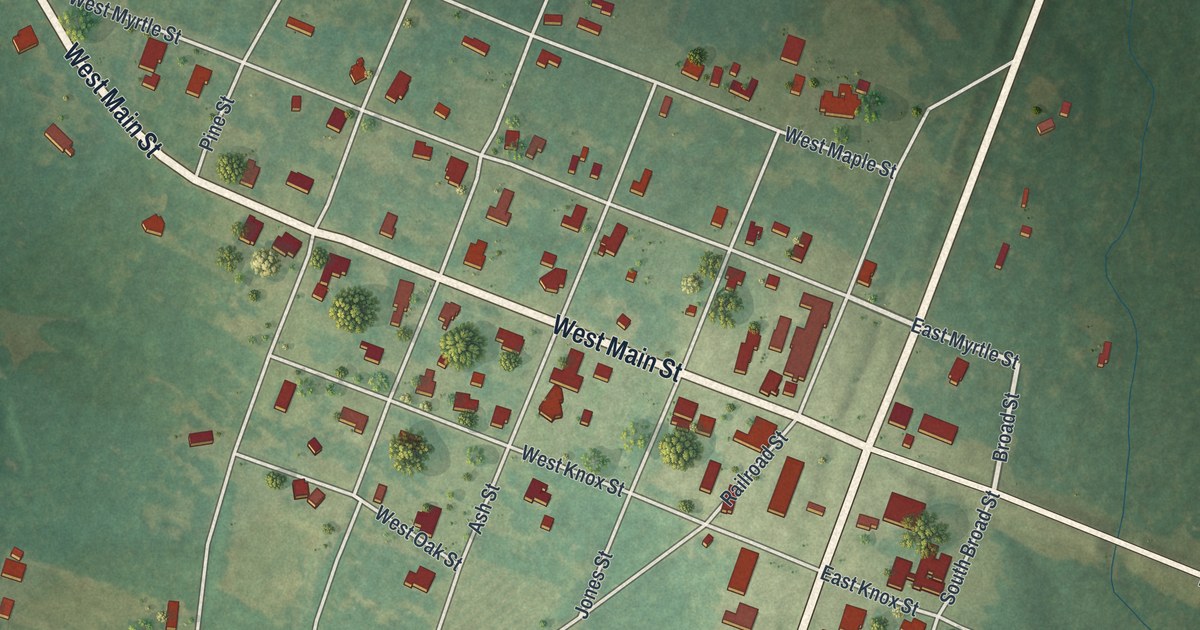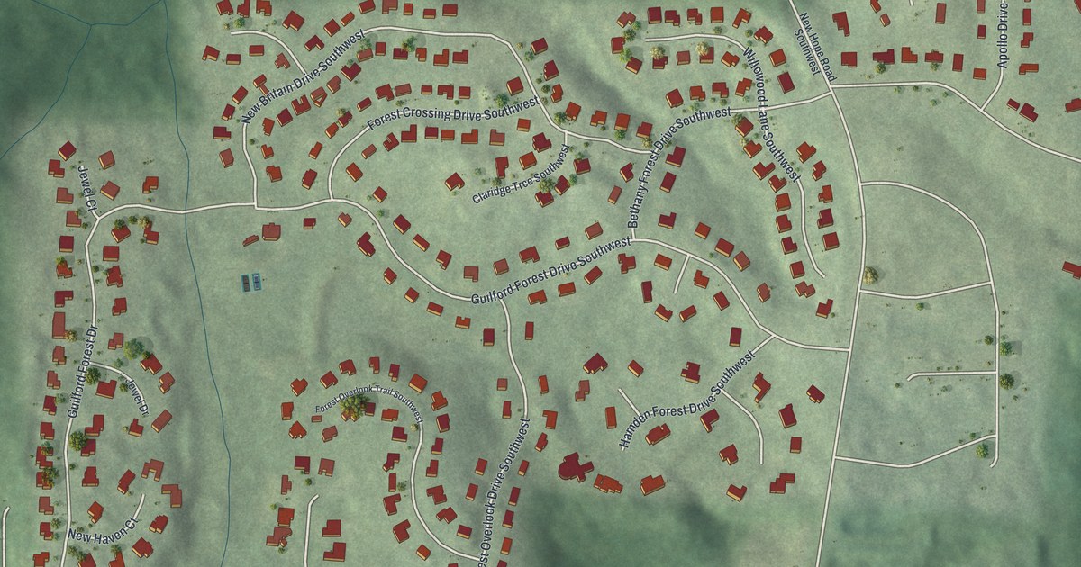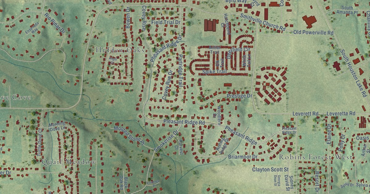
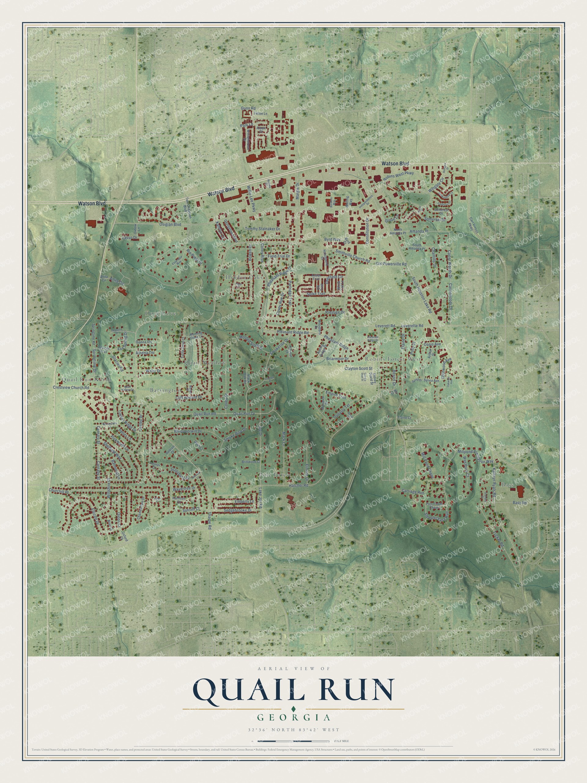
This beautifully detailed map of Quail Run, Georgia was created in 2026 using aerial imagery combined with modern topographical, census, street and landmark data. It’s a one-of-a-kind view of Quail Run that combines accurate data with a vintage aesthetic. The map shows every building in its true location, many of the roads carry their names, and the shaded topographic relief shows the shape of the land.
Explore an aerial view of Quail Run, Georgia
On the map you’ll find Bass, Quail Run North, Hidden Oaks, Pine Forest, Robins Forest West, Dove Cove, Barrington, Quail Meadow, and Pheasant Ridge, along with Watson Boulevard, Briarmoor Drive, Pheasant Ridge Drive, and more. If you look closely you can even find your house accurately drawn in its correct location. Zoom in on the preview to look for yours.
Take a closer look at the Quail Run map
Names on this map
These names are printed on this map.
Places: Bass, Quail Run North, Hidden Oaks, Pine Forest, Robins Forest West, Dove Cove, Barrington and Quail Meadow.
Streets and roads: Watson Boulevard, Pheasant Ridge, Briarmoor Drive, Pheasant Ridge Drive, Kathryn Ryals Road, Wingate Circle, Tharpe Road, Smithville Church Road, Gunn Road, Old Powerville Road, South Houston Lake Road, Deerfield Circle.
More street names, A to Z
Ahita Circle, Albert Court, Ali Court, Amanda Place, Angel Court, Anita Circle, Antler Trail, Arthur Street, Athena Terrace, Balmoral Lane, Bass Road, Black Oak Road, Blair Court, Borders Way, Bowen Drive, Brittwood Court, Byrd Court, Byrd Way, Carl Vinson Parkway, Carnaby Street, Carnary Street, Carriage Run, Carter Woods Drive, Carterwoods Drive, Chadwick Drive, Chamberlain Drive, Chantilly Drive, Chimney Place, Churchill Place, Clayton Scott Street, Cliff Howard Drive, Constitution Drive, Covey Drive, Covey Rise, Covey Run Drive, Crestview Church Road, Debron Court, Dianna Terrace, Dove Court, Dynasty Terrace, Elaine Court, Elaine Drive, Elk Trail, Ellicott Drive, Elmore Drive, Emberly Lane, Empire Trail, Ensenada Way, Field Trial Drive, Fox Spring Drive, Georgetown Boulevard, Georgia Dean Street, Glacier Road, Glacier Trail, Glenwood Avenue, Grove Lane, Hackamore Lane, Harrison Court, Harvest Court, Hatchbend Court, Hatcher Road, Hilton Court, Independence Drive, Joy Drive, Katelyn Circle, Lake Joy Road, Lasso Drive, Leverette Road, Leverett Road, Loxley Drive, Mack Lane, Margie Drive, Marteil Court, Mill Pond Chase, Millpond Plantation Way, Molded Stone Place, Monarch Place, Monet Drive, Morning Dove Lane, North Amanda Place, Oakwood Avenue, Oasis Avenue, Orchard Court, Osigian Boulevard, Oxbow Lane, Oxford Court, Oxton Court, Park Lane, Partridge Trail, Penny Lane, Pickworth Lane, Pleasant Ridge Drive, Pleasant Ridge Road, Pointer Court, Polly Court, Polo Fields Chase, Prestige Drive, Quail Hollow Drive, Quail Run Drive, Quail Run Road, Resort Drive, Rio Pinar Drive, Robins West Parkway, Rolling Ridge Drive, Rollins Drive, Royal Place, Saddlehorn Drive, Scotsburg Drive, Sedgebrooke Drive, Sheffield Way, Sidney David Street, Smoke Rise Drive, Smokerise Drive, Somerest Drive, Somerset Drive, South Amanda Place, Spike Trail, Springtime Drive, Springtime Road, Steeplechase Run, Sutcliff Court, Sylvia Avenue, Sylvia Drive, Tahoe Lane, Timber Ridge Drive, Tom Chapman Boulevard, Tommy Stalnaker Drive, Tucker Road, Turtle Dove Court, Water Drive, Wavertree Drive, Westbury Court, Westgate Drive, Whippoorwill Drive, White Tail Lane, Whitfield Lane, Whiting Way, Williamstown Drive, Willie Lee Parkway, Wiltshire Court, Winchester Lane, Woodfern Drive.
See it on a wall
The Quail Run map as a framed print. Swipe for more.


This beautifully detailed map of Quail Run makes an attractive addition to your office, library, or den, and it can even be used to teach children the geography and history of the area. It also makes a great gift for anyone who grew up in Quail Run or moved away. When you’re done exploring, click here to get your copy of the Quail Run map.