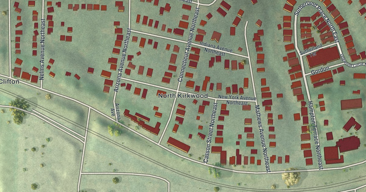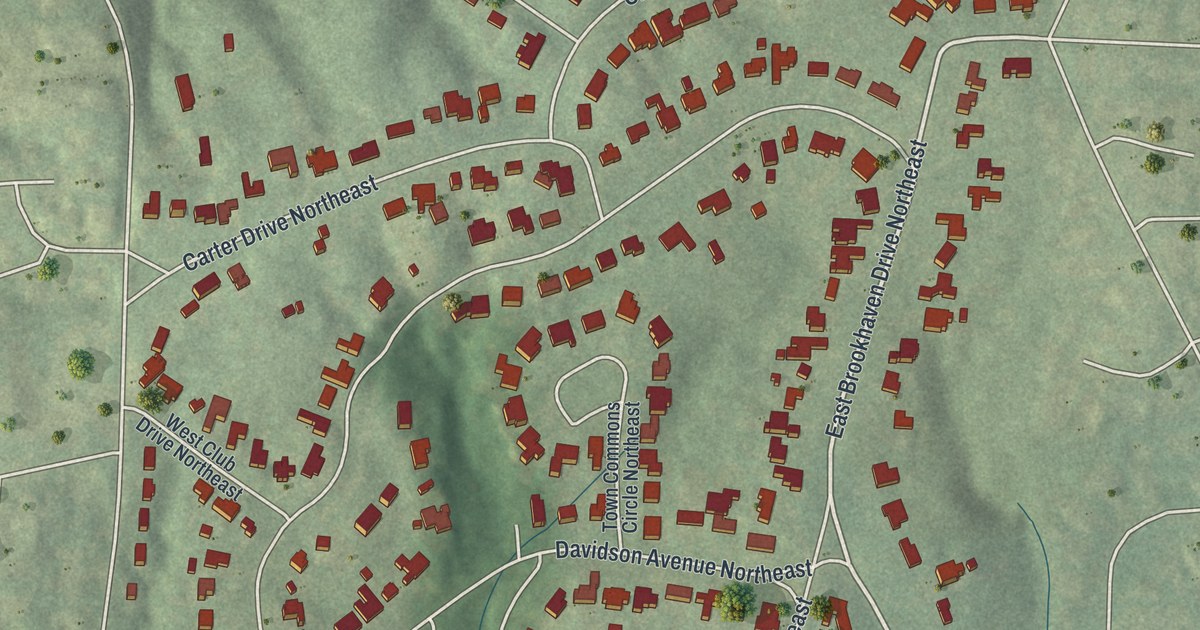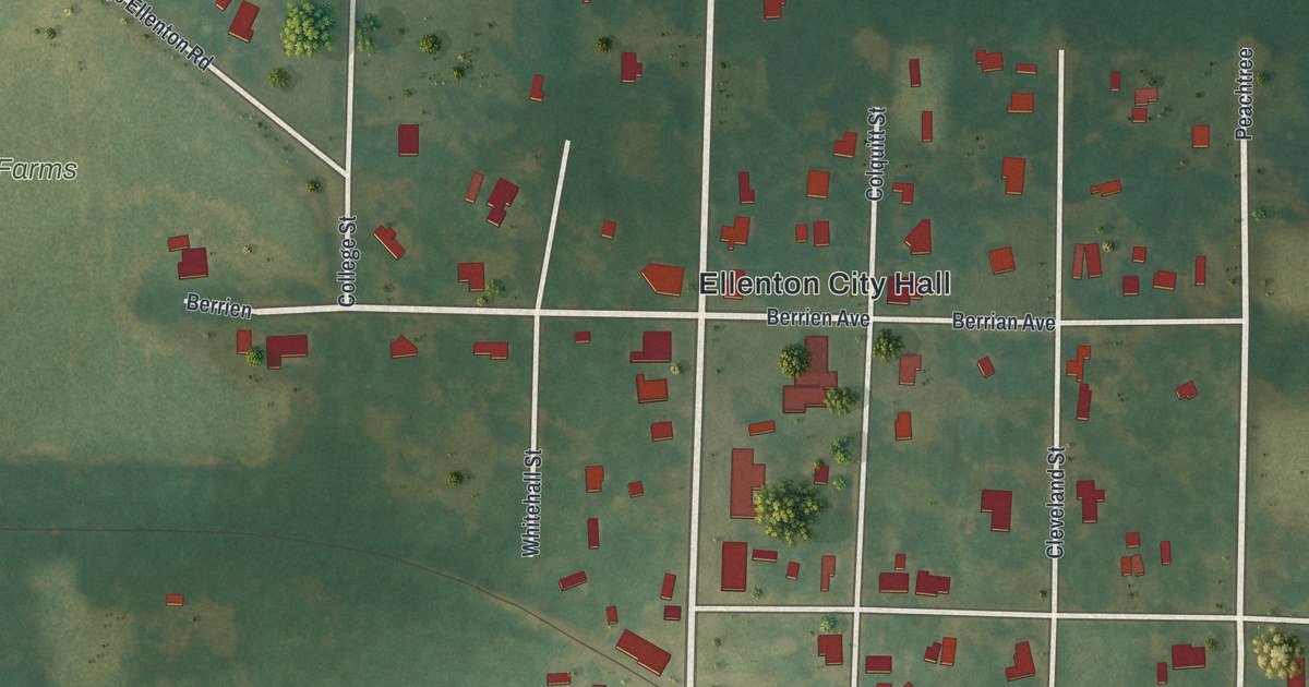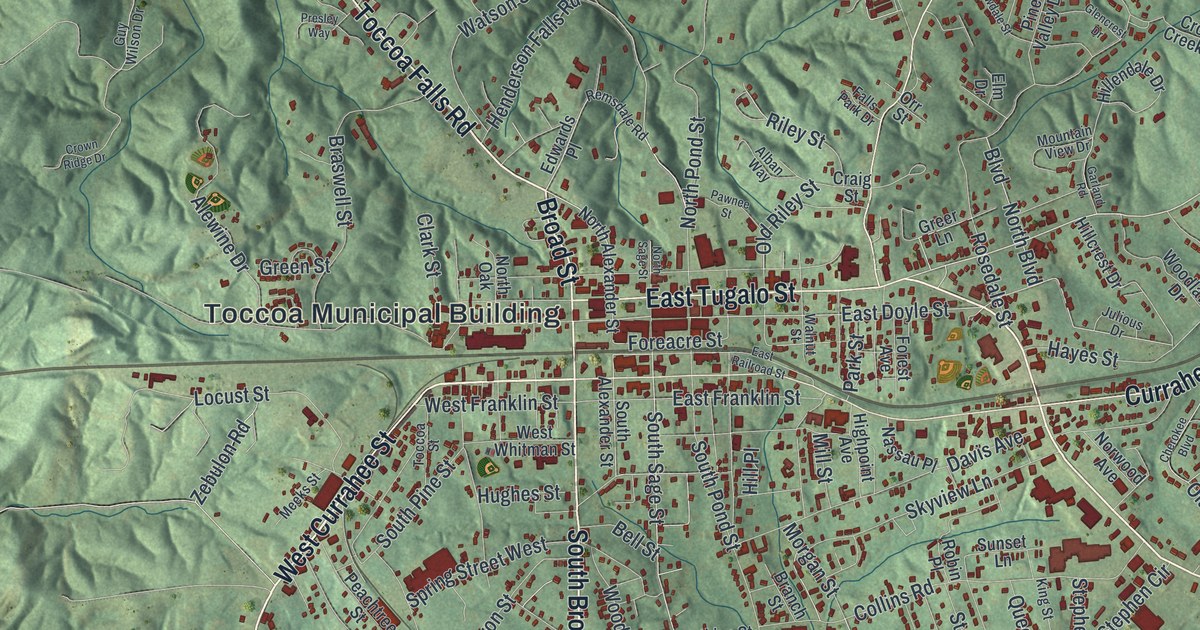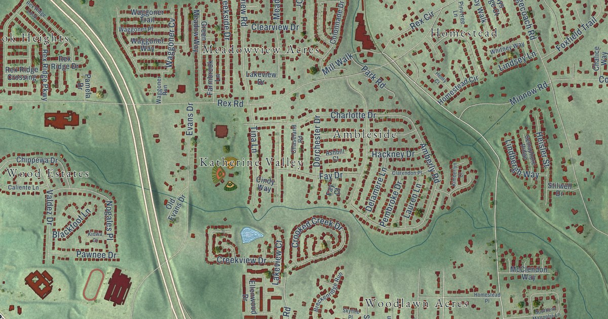
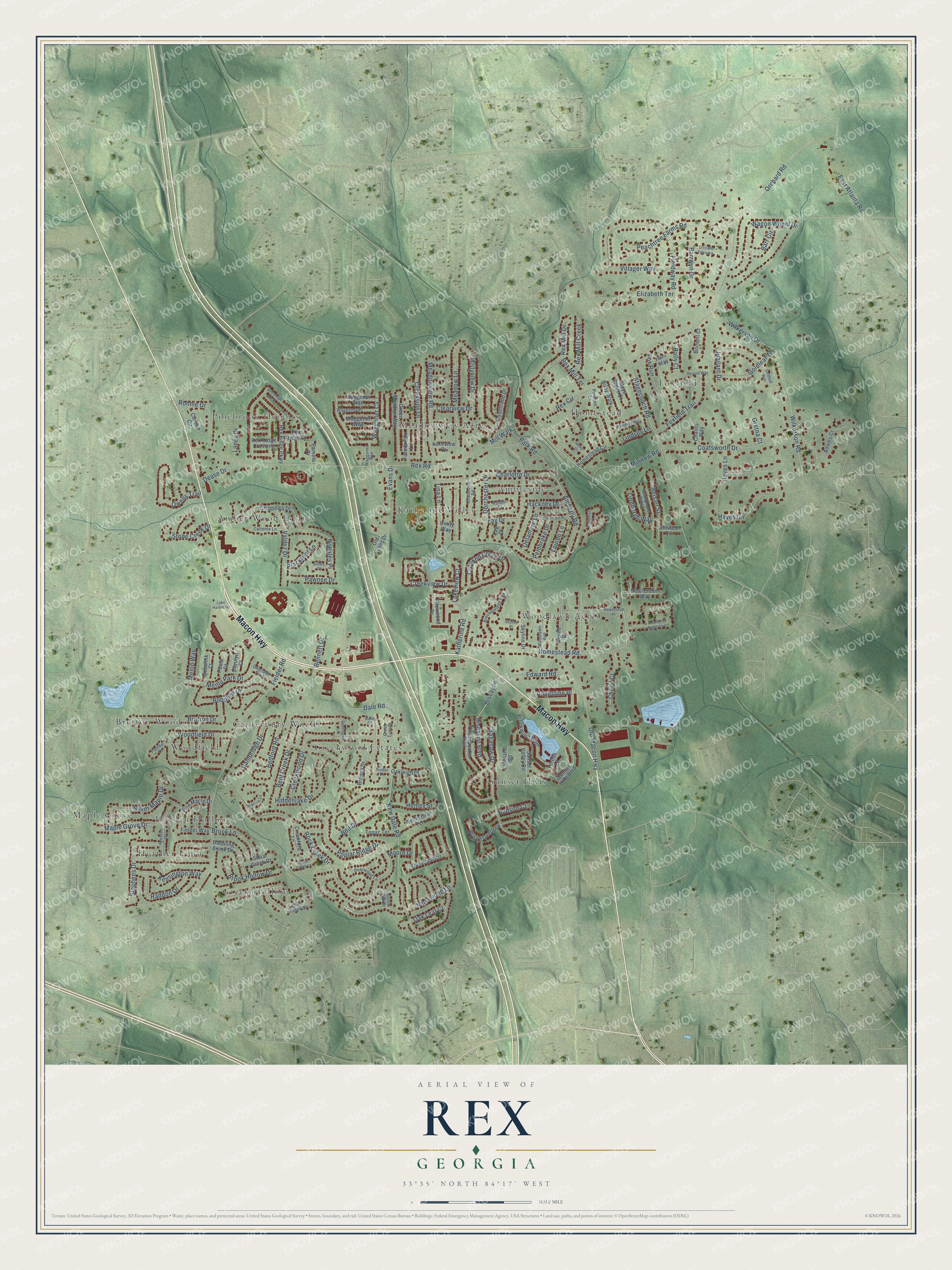
This beautifully detailed map of Rex, Georgia was created in 2026 using aerial imagery combined with modern topographical, census, street and landmark data. It’s a one-of-a-kind view of Rex that combines accurate data with a vintage aesthetic. The map shows every building in its true location, many of the roads carry their names, and the shaded topographic relief shows the shape of the land.
Explore an aerial view of Rex, Georgia
On the map you’ll find Woodlawn Acres, Heather Lynn, Foxfield, Creekwood Estates, Pinebrook Heights, Meadowview Acres, Woodfield, Sunset Hills, Katherine Valley, Homestead, Amber Wood Estates, Canterbury Woods, and more. If you look closely you can even find your house accurately drawn in its correct location. Zoom in on the preview to look for yours.
Did You Know?
From Internet Archive: "Mildred Allison Rexroat was today promised Henry Spencer, whose confession of twenty murders, woven by a nopium-clouded brain. dum- ‘The authorities will fantastic founded the police. continue to investigate stories. his Spencer's admission of the Rexroat grime is substantiated by evidence."
Rex is a community in Clayton County.
Take a closer look at the Rex map
Names on this map
These names are printed on this map.
Places: Woodlawn Acres, Heather Lynn, Foxfield, Creekwood Estates, Pinebrook Heights, Meadowview Acres, Woodfield, Sunset Hills, Katherine Valley, Homestead, Amber Wood Estates, Canterbury Woods, Ambleside, Creek Hollow, Hidden Hollow, Maple Grove and Bretton Woods.
Streets and roads: Macon Highway, Rex Road, Homestead Road, Wilkerson Road, New Dale Road, Dale Road, Stagecoach Road, Fielder Road, Rock Creek Drive, Biscayne Boulevard, Orchard Road, Amberly Road.
More street names, A to Z
Adams Court, Alpine Drive, Ashbill Court, Ashbury Lane, Augustine Place, Babbling Brook Drive, Barr Circle, Barrwyn Drive, Bedford Road, Bell Drive, Bennett Drive, Bent Creek Drive, Biscayne, Blackfoot Lane, Bobolink Court, Bobolink Drive, Bonnell Court, Branch Drive, Breckenridge Run, Bretton Drive, Bristol Overlook, Brook Hollow Drive, Brook Lane, Brookwood Boulevard, Cabriolet Trail, Caliente Lane, Cambridge Drive, Carolyn Court, Chalice Way, Charlotte Drive, Chaseland Road, Cheryl Court, Chesepeake Trail, Chippewa Drive, Cindy Way, Clarendon Place, Clearview Drive, Coatsworth Drive, Colonnade Drive, Connie Circle, Creekford Lane, Creekside Drive, Creek Turn Drive, Creekview Drive, Creekwood Drive, Crooked Creek Drive, Dale Court, Dease Drive, Deerwood Lane, Delamere Lane, Dorchester Drive, Doublegate Lane, East Atlanta Road, Edward Road, Elizabeth Terrace, Ellenwood Drive, Evans Drive, Farmbrook Lane, Fay Court, Fay Drive, Fielder Way, Fieldway Road, Foxfield Trail, Fox Run, Glen Hollow Drive, Goldleaf Terrace, Goldleaf Way, Green Meadow Way, Gretna Court, Hackney Drive, Haddon Drive, Hayes Circle, Hayes Lane, Heisler Street, Henley Street, Henry Court, Hiddenlake Drive, Hidden Lane, Hollow Oak Drive, Homestead Circle, Homestead Place, Hudson Court, Hunt Way, Jubilant Drive, Katherine Road, Kensington Way, Kimberlyn Court, Kiowa Court, Lake Harbin Road, Lakeland Road, Lakeview Court, Lakeview Drive, Laney Drive, Lauren Lane, Lindbergh Way, Lindsey Lane, Maple Grove Drive, Mays Ridge Court, McClendon Way, Meadow Lane, Meadowview Road, Menlo Park Drive, Menlo Way, Mill Walk, Minnow Road, Mistyview Drive, Moore Drive, Mosswood Lane, Nogales Place, Oak Leaf Court, Oakleigh Drive, Oakwood Circle, Old Evans Drive, Old Macon Highway, Orchard Entrance, Owens Trail, Pamela Drive, Panther Court, Park Road, Paula Court, Pawnee Drive, Peachtree Farms Road, Pembroke Drive, Pinetree Lane, Poplar Ridge Drive, Preston Drive, Rally Court, Red Maple Drive, Renard Way, Rex Circle, Rex Mill Creek, Rex Mill Drive, Rex Mill Terrace, Rex Ridge Crossing, Rex Ridge Drive, Rex Ridge Loop, Rex Ridge Parkway, Ronnie Drive, Ruby Walk, Saganaw Drive, Semaphore Ridge, Shoal Creek Court, Silver Maple Drive, Skyline Drive, Skyline Place, Southern Magnolia Lane, Stephens Drive, Stilwell Drive, Stone Creek Drive, Sunset Hills Boulevard, Sunset Valley Circle, Teresa Lane, Tina Lane, Topaz Terrace, Valdez Drive, Villager Way, Waggoner Cv, Waggoner Place, Waggoner Run, Waggoner Trail, Waggoner Way, Wagon Wheel Drive, Wellington Terrace, Whitney Way, Wilkerson Drive, Wood Creek Lane, Woodfield Drive, Woodlawn Avenue.
See it on a wall
The Rex map as a framed print. Swipe for more.


This beautifully detailed map of Rex makes an attractive addition to your office, library, or den, and it can even be used to teach children the geography and history of the area. It also makes a great gift for someone who left Rex and still calls it home. When you’re done exploring, click here to get your copy of the Rex map.