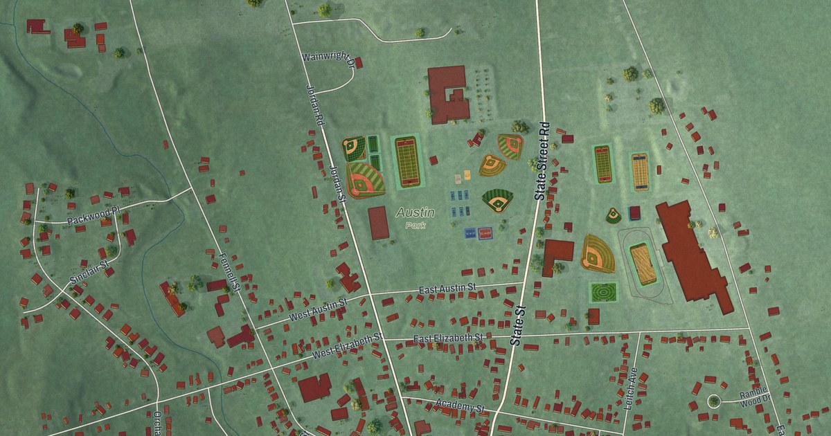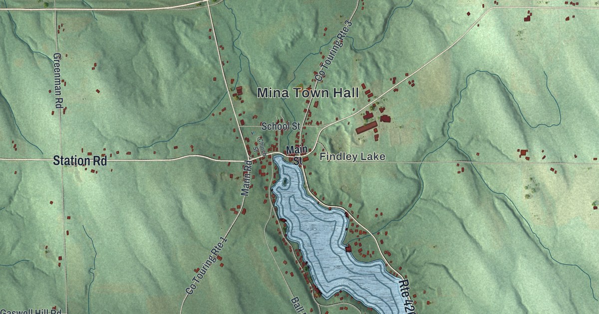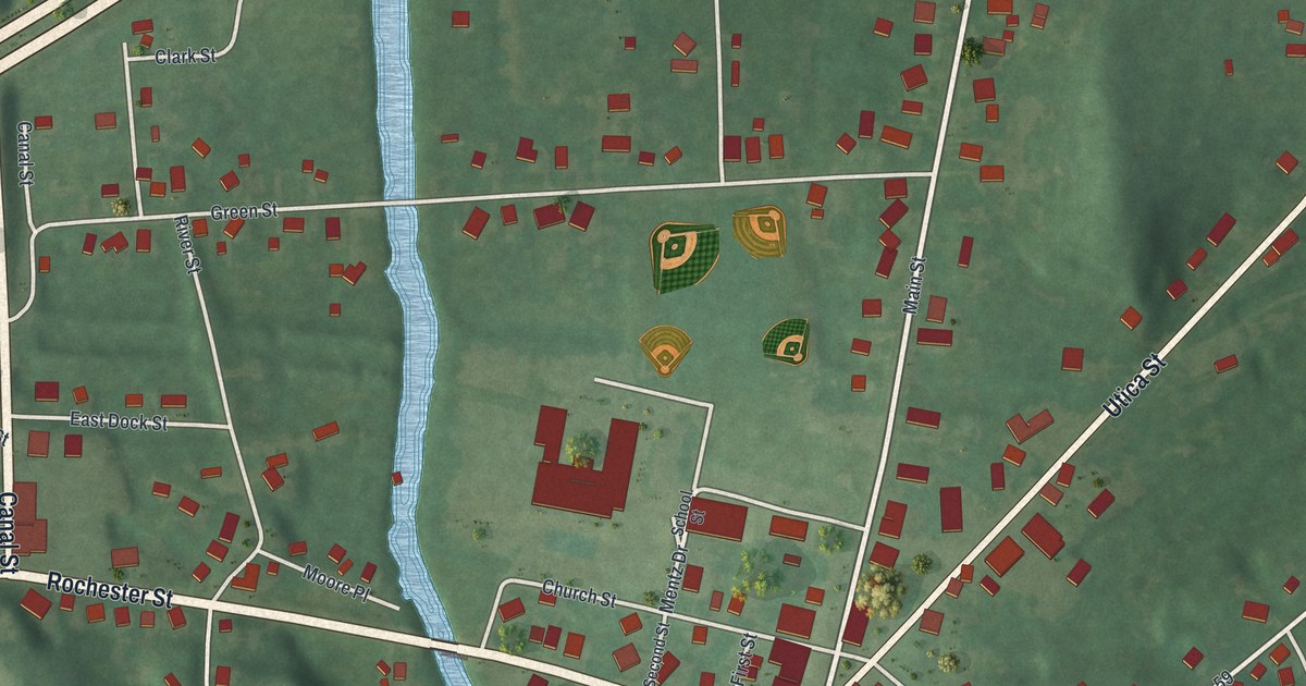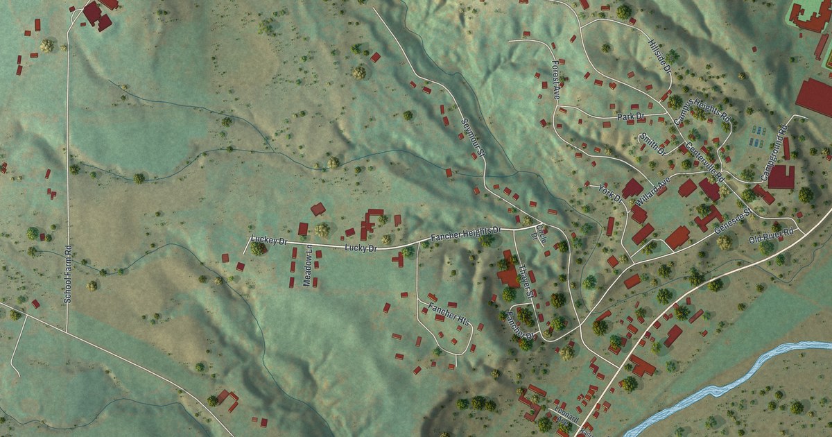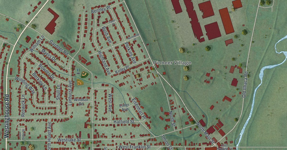
This beautifully detailed map of the Village of Horseheads, New York was created in 2026 using aerial imagery combined with modern topographical, census, street and landmark data. It’s a one-of-a-kind view of the Village of Horseheads that combines accurate data with a vintage aesthetic. The map shows every building in its true location, many of the roads carry their names, and the shaded topographic relief shows the shape of the land.
Explore an aerial view of the Village of Horseheads, New York
On the map you’ll find Horseheads Town Hall, Pioneer Village, and Maple Grove Cemetery, along with Westinghouse Road, Corning Road, Watkins Road, Franklin Street, and more. If you look closely you can even find your house accurately drawn in its correct location. Zoom in on the preview to look for yours.
Take a closer look at the Village of Horseheads map
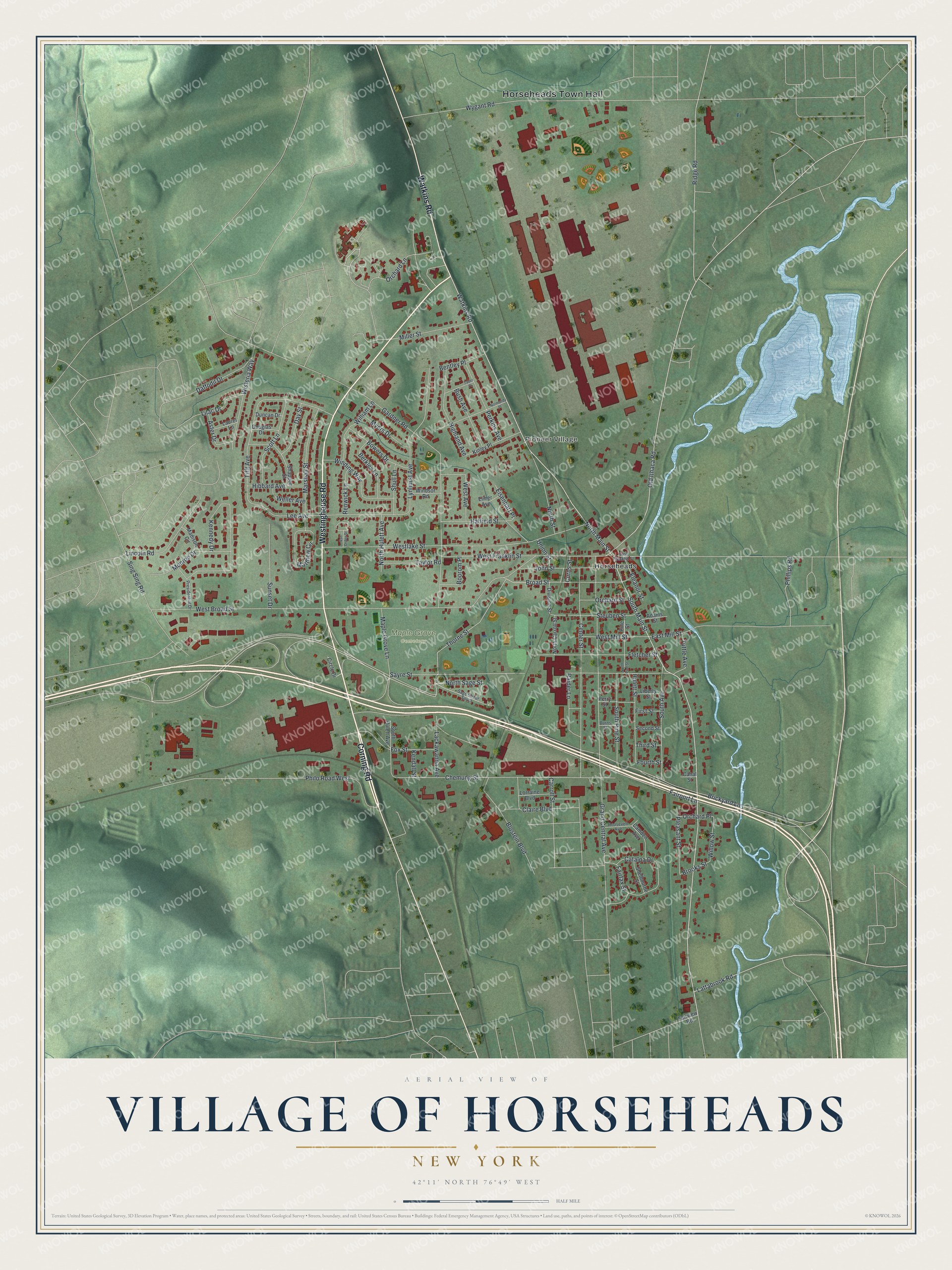
Names on this map
These names are printed on this map.
Places: Horseheads Town Hall, Pioneer Village, Maple Grove Cemetery and Horseheads.
Streets and roads: Westinghouse Road, Corning Road, Watkins Road, West Franklin Street, North Main Street, South Main Street, Lackawanna Avenue, Old Ithaca Road, Fairport Lane, Thorne Street, West Broad Street, Gardner Road.
More street names, A to Z
Adams Street, Aster Drive, Bentley Place, Berkley Lane, Blostein Boulevard, Boorom Place, Bowers Drive, Brickyard Lane, Broad Street, Brooks Street, Burns Street, Bush Avenue, Camden Avenue, Canal Street, Carroll Street, Catalpa Drive, Center Street, Chemung Street, Circle Drive, Claire Boulevard, Curns Street, Daffodil Drive, Day Street, Division Street, Douglas Drive, Duncan Drive, East Franklin Street, East Mill Street, Eisenhart Place, Eleanor Street, Elmer Avenue, Fairfax Street, Fairview Road, First Street, Fletcher Street, Fourth Street, Fox Street, Grand Central Avenue, Hatfield Street, Hibbard Avenue, Highland Avenue, Hulett Street, John Street, Kendall Street, Kennedy Drive, Kinley Place, Lattabrook Road, Laurel Lane, Lee Avenue, Liberty Street, Lilac Drive, Lincoln Road, Lorraine Boulevard, Lynhurst Avenue, Madison Circle, Maple Grove Lane, Marshall Street, Matthew Circle, Miller Street, Monroe Drive, Myers Drive, Normandy Place, North Carroll Street, North Hulett Avenue, North Pine Street, North Sage Street, North Street, Orchard Lane, Orchard Place, Orchard Street, Perkins Avenue, Perry Street, Phillips Road, Philo Road West, Pine Street, Pleasant Street, Presidential Drive, Raider Lane, Renwick Lane, Ridge Road, Roosevelt Avenue, Sage Street South, Sayre Street, Scott Lane, Second Street, Shappee Street, Shelbourne Street, Shull Lane, Sing Sing Road, South Avenue, South Hulett Avenue, South Pine Street, Steuben Street, Sunset Drive, Taber Place, Taylor Road, Third Street, Tifft Avenue, Tuttle Avenue, Union Street, Van Orden Street, Weller Avenue, West Avenue, Westlake Street, West Mill Street, William Lane, Willow Street, Winding Way, Windsor Road, Wisteria Way, Wygant Road.
See it on a wall
The Horseheads map as a framed print. Swipe for more.


This beautifully detailed map of the Village of Horseheads makes an attractive addition to your office, library, or den, and it can even be used to teach children the geography and history of the area. It also makes a great gift for anyone who grew up in the Village of Horseheads or moved away. When you’re done exploring, click here to get your copy of the Village of Horseheads map.