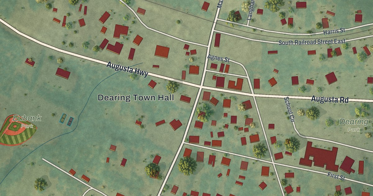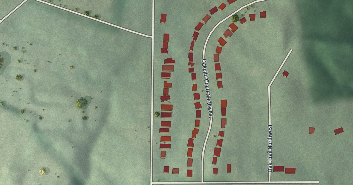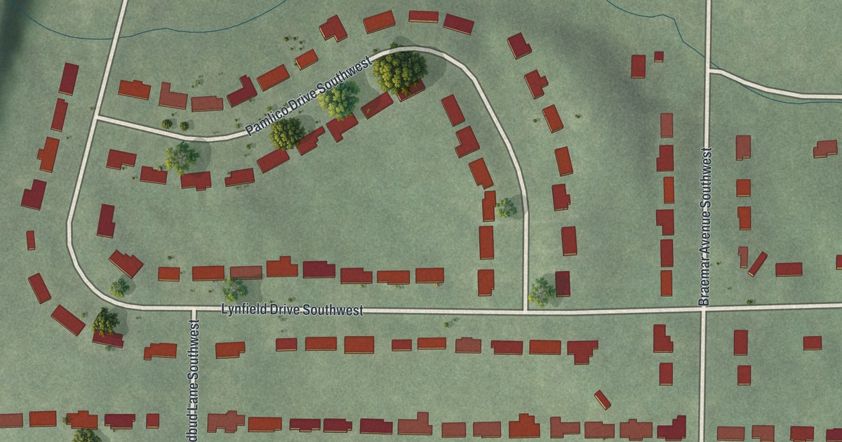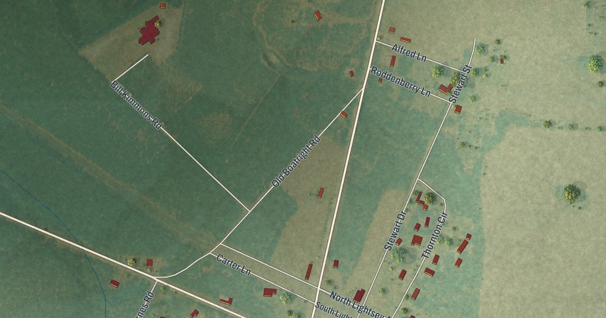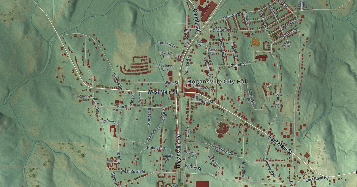
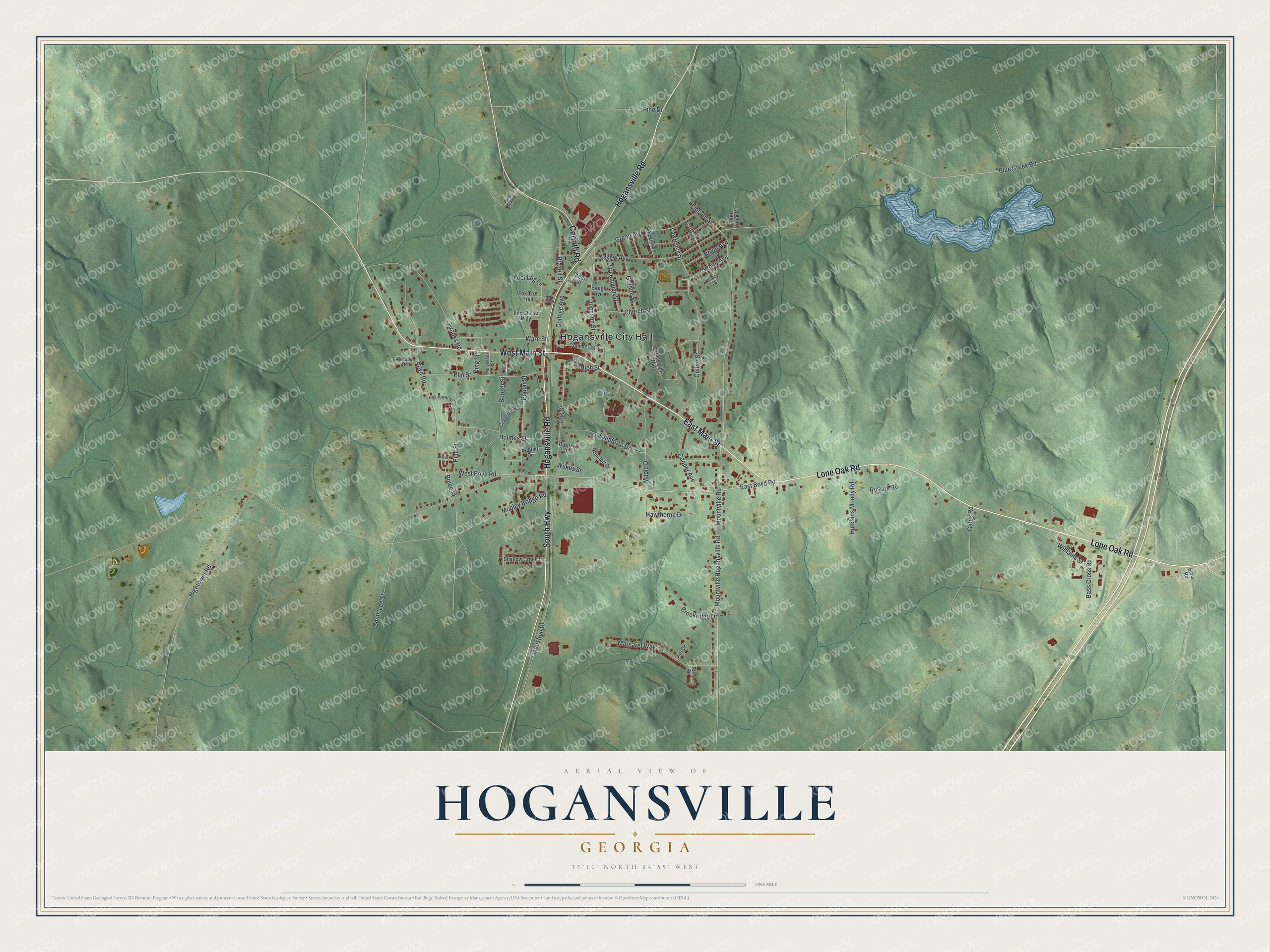
This beautifully detailed map of Hogansville, Georgia was created in 2026 using aerial imagery combined with modern topographical, census, street and landmark data. It’s a one-of-a-kind view of Hogansville that combines accurate data with a vintage aesthetic. The map shows every building in its true location, many of the roads carry their names, and the shaded topographic relief shows the shape of the land.
Explore an aerial view of Hogansville, Georgia
On the map you’ll find Hogansville City Hall, along with Lone Oak Road, Main Street, South Highway, Hogansville Road, and more. If you look closely you can even find your house accurately drawn in its correct location. Zoom in on the preview to look for yours.
Did You Know?
Hogansville took its name from William Hogan, who owned the original site of the town. Since 1998, the city has welcomed visitors each year to its Hummingbird Festival.
Take a closer look at the Hogansville map
Names on this map
These names are printed on this map.
Places: Hogansville City Hall.
Streets and roads: Lone Oak Road, East Main Street, West Main Street, South Highway, Hogansville Road, Corinth Road, East Boyd Road, West Boyd Road, Lawrence Street, Lincoln Street, Mountville Hogansville Road, Mountville Road.
More street names, A to Z
Askew Avenue, Baptist Drive, Bass Cross Road, Baugh Avenue, Blue Creek Court, Blue Creek Road, Bolee Street, Boozer Street, Boyd Road, Brazell Street, Brookridge Drive, Brooks Road, Burden Drive, Church Street, College Avenue, Collier Street, Commerce Street, Cooper Avenue, Cranston Road, Dickinson Street, Duckwalk Way, Elm Street, Foot Log Lane, Fox Chase Way, Fox Trot Trail, Gates Road, Granite Street, Green Avenue, Greenough Street, Hawthorne Drive, High Street, Hightower Road, Hightower Street, Holmes Street, Hunt Club Drive, Hutchins Moody Road, Industrial Drive, Jerry Road, Jim Drive, Johnson Street, Keith Street, King Street, Lord Street, Maple Drive, Margaret Way, Mobley Bridge Road, Molyneaux Street, Oak Street, Pine Drive, Pine Street, Poplar Street, Power Plant Road, Project Street, Ransby Drive, Royal Avenue, Russell Road, Scott Street, Shallow Creek Lane, Sims Road, South Lee Street, Taliaferro Drive, Ware Street, Whaley Street, White Avenue, Wilkes Street, Williams Street, Winslett Drive.
See it on a wall
The Hogansville map as a framed print. Swipe for more.


This beautifully detailed map of Hogansville makes an attractive addition to your office, library, or den, and it can even be used to teach children the geography and history of the area. It also makes a great gift for someone who left Hogansville and still calls it home. When you’re done exploring, click here to get your copy of the Hogansville map.