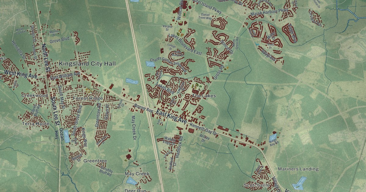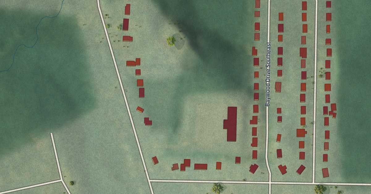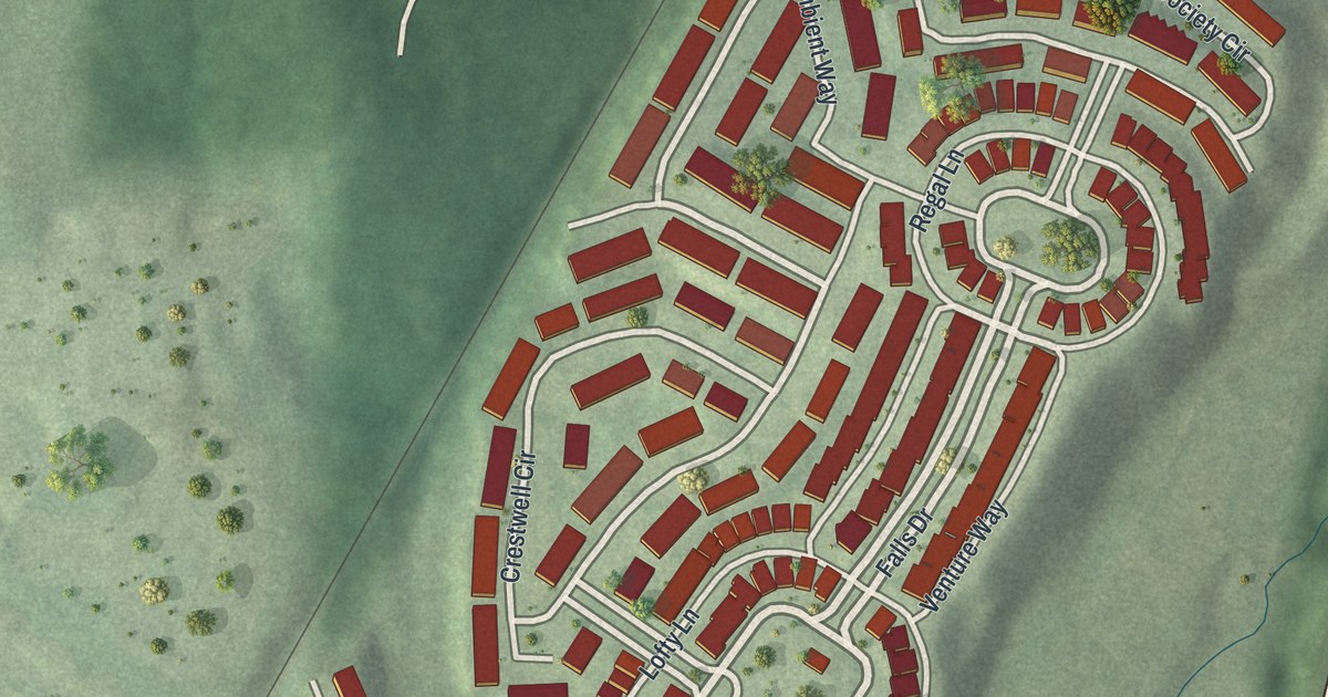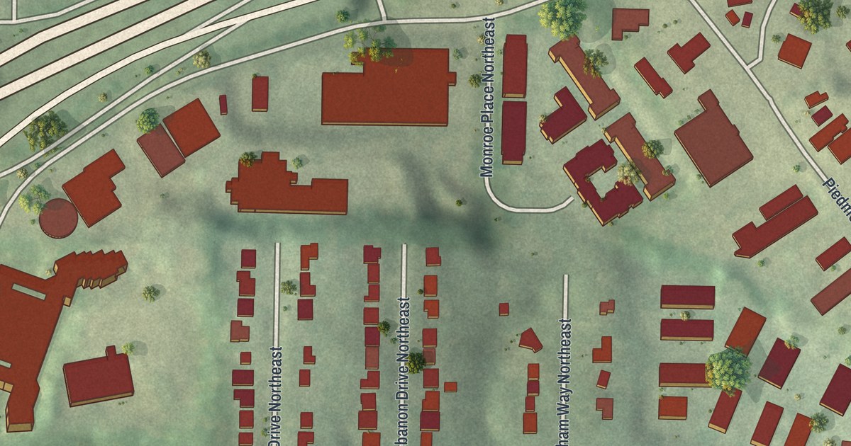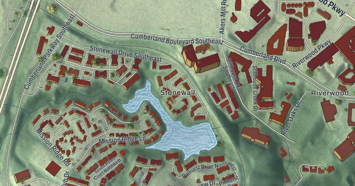
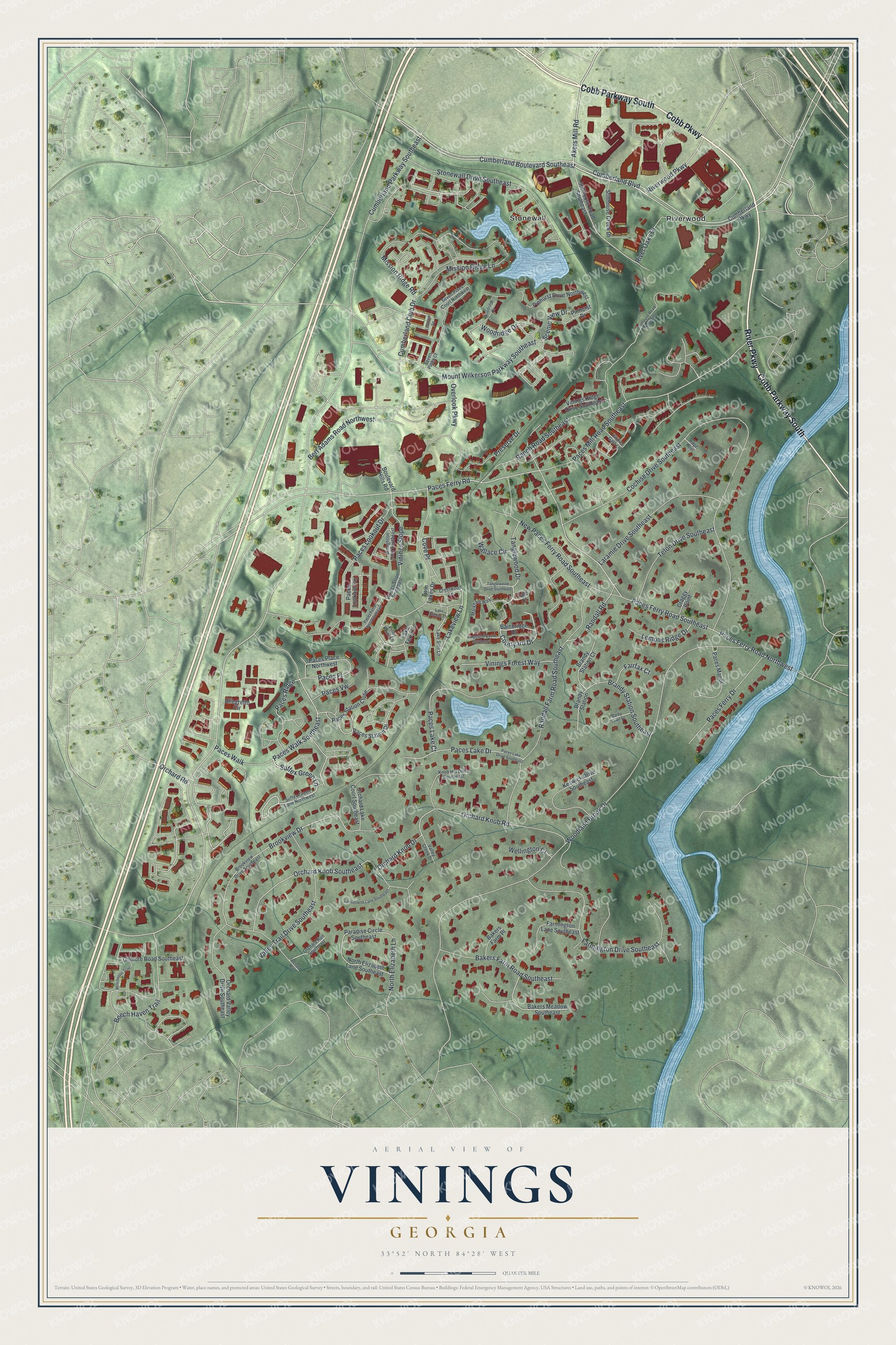
This beautifully detailed map of Vinings, Georgia was created in 2026 using aerial imagery combined with modern topographical, census, street and landmark data. It’s a one-of-a-kind view of Vinings that combines accurate data with a vintage aesthetic. The map shows every building in its true location, many of the roads carry their names, and the shaded topographic relief shows the shape of the land.
Explore an aerial view of Vinings, Georgia
On the map you’ll find Riverwood and Stonewall, along with Cobb Parkway, River Parkway, Cumberland Boulevard, Akers Mill Road, Cumberland Parkway, and more. If you look closely you can even find your house accurately drawn in its correct location. Zoom in on the preview to look for yours.
Did You Know?
Vinings was first called Crossroads, then Paces, after Hardy Pace, who ran a ferry across the Chattahoochee around 1830. In the 1840s it became a construction station for the new railroad. The place ended up named, almost by accident, for railroad builder William H. Vining.
Take a closer look at the Vinings map
Names on this map
These names are printed on this map.
Places: Riverwood and Stonewall.
Streets and roads: Cobb Parkway, Cobb Parkway South, River Parkway, Cumberland Boulevard Southeast, Cumberland Boulevard, Akers Mill Road, Cumberland Parkway Southeast, Paces Walk Southeast, Suffex Green Lane, Cove Place, Paces Ferry Road, Woodridge Drive.
More street names, A to Z
Allegretto Circle, Bainbridge Drive, Bakers Farm Place, Bakers Farm Road Southeast, Bakers Meadow Southeast, Beech Haven Trail, Bert Adams Road Northwest, Boulevard Hills Road, Brandy Station, Brandy Station Court, Brandy Station Southeast, Brookview Drive, Brookview Drive Southeast, Broughton Lane Southeast, Cochise Drive Southeast, Courtyard Drive, Craggy Point, Crestwood Lane, Cumberland Club Drive, Cumberland Parkway, Darby Town Court, Fairfax Court, Farmington Drive Southeast, Farmington Lane Southeast, Gilmore Road Southeast, Grove Gate Lane, Keswick Drive Southeast, Kingsland Court Southeast, Knob Hill Drive Southeast, Lake Breeze Lane, Lake Ferry Lane, Lake Side Lane, Lakeview Lane, Lansdowne Lane Southeast, Laramie Drive Southeast, Lemons Ridge Drive, Loftview Square, Markham Way, Mission Ridge Lane, Mission Ridge Road, Mount Wilkerson Parkway Southeast, New Paces Ferry Road Southeast, North Elizabeth Lane, North Elizabeth Lane Southeast, Orchard Knob Drive, Orchard Knob Road, Orchard Knob Southeast, Orchard Lake Court Southeast, Orchard Road, Orchard Run, Orchard Run Southeast, Orchard Valley Drive Southeast, Overlook Parkway, Paces Ferry Drive, Paces Ferry Road Northwest, Paces Ferry Road Southeast, Paces Ferry West Southeast, Paces Lake Court, Paces Lake Drive, Paces Lake Drive Southeast, Paces Lookout Circle, Paces Lookout Drive, Paces Manor, Paces Mill Road Southeast, Paces Place, Paces Place Northwest, Paces Ridge, Paces Station Close, Paces Station Drive, Paces Vw, Paces Walk, Paradise Circle Southeast, Piney Point Lane, Pinhurst Drive, Pinhurst Drive Northwest, Preserve Drive, Ranch Road Southeast, Randall Farm Road Southeast, Randall Road, Ridge Point, River Oaks Drive, Riverwood Parkway, Scenic View Drive, Seven Pines Court, Seven Pines Court Northwest, Stillhouse Creek Drive, Stillhouse Road Northwest, Stillhouse Road Southeast, Stonewall Drive Southeast, Suffex Green Lane Northwest, Tanglewood Drive, Tanglewood Drive Southeast, Teton Drive Southeast, Twin Lakes Drive, Valley Creek Drive, Valley Trail Drive Southeast, Vinings Forest Way, Vinings Ridge Drive Southeast, Vinings Slope, Vinings Slope Southeast, Wallace Circle, Wellington Court, Winchester Trail, Woodland Brook Drive, Woodridge Court, Yale Court.
See it on a wall
The Vinings map as a framed print. Swipe for more.


This beautifully detailed map of Vinings makes an attractive addition to your office, library, or den, and it can even be used to teach children the geography and history of the area. It also makes a great gift for anyone who grew up in Vinings or moved away. When you’re done exploring, click here to get your copy of the Vinings map.