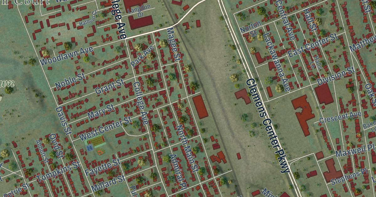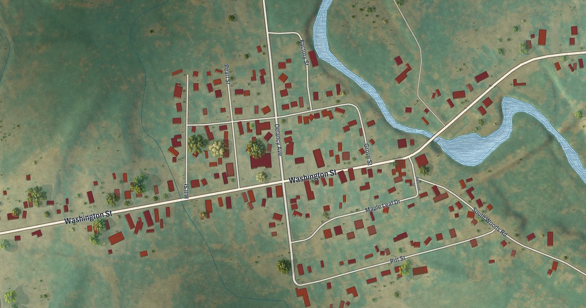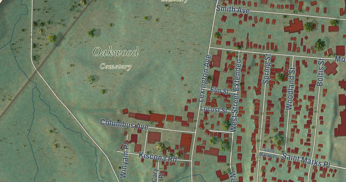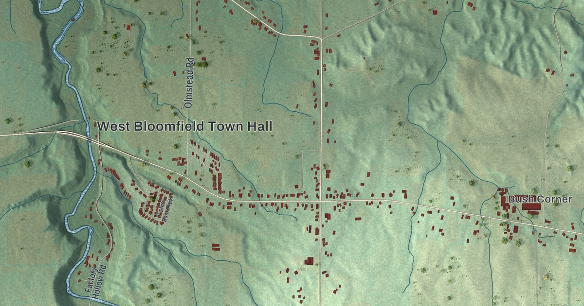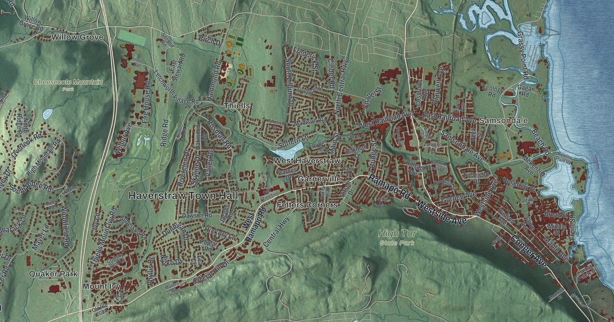
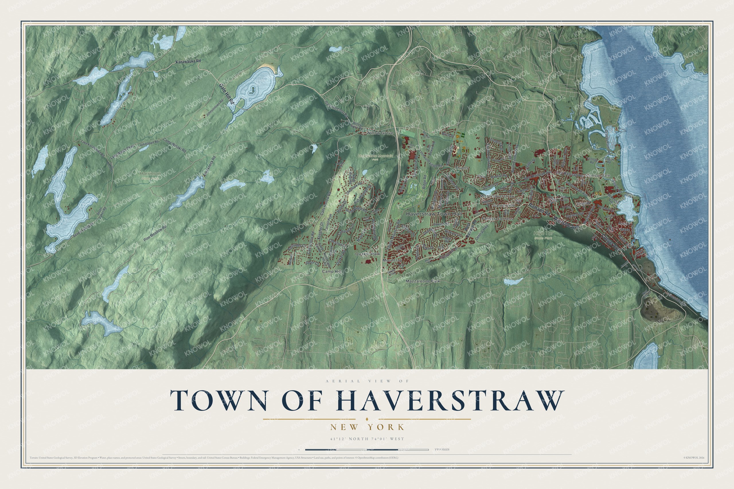
This beautifully detailed map of the Town of Haverstraw, New York was created in 2026 using aerial imagery combined with modern topographical, census, street and landmark data. It’s a one-of-a-kind view of the Town of Haverstraw that combines accurate data with a vintage aesthetic. The map shows every building in its true location, many of the roads carry their names, and the shaded topographic relief shows the shape of the land.
Explore an aerial view of the Town of Haverstraw, New York
On the map you’ll find Haverstraw Town Hall, Samsondale, Felters Corners, Garnerville, Mazzaleone Park, Mount Ivy, Cheesecote Mountain Park, Harriman State Park, and High Tor State Park, along with Gate Hill Road, Ramapo Road, Westside Avenue, Conger Avenue, and more. If you look closely you can even find your house accurately drawn in its correct location. Zoom in on the preview to look for yours.
Did You Know?
Haverstraw sits on the edge of the Hudson below High Tor and Little Tor. James Wood found the modern way of burning brick here and opened brickyards in the town. At its peak the industry had 40 brickyards. Together they turned out 326 million bricks a year. That’s from the 1940 WPA guide to New York.
Take a closer look at the Town of Haverstraw map
Names on this map
These names are printed on this map.
Places: Haverstraw Town Hall, Samsondale, Cheesecote Mountain Park, Harriman State Park, High Tor State Park, Camp Hill, Felters Corners, Garnerville, Mazzaleone Park, Mount Ivy, Quaker Park, Thiells, West Haverstraw and Willow Grove.
Streets and roads: Gate Hill Road, Ramapo Road, Westside Avenue, Conger Avenue, Gate Hill Coop Road, Beach Road, Grassy Point Road, East Railroad Avenue, Suffern Lane, Seven Lakes Drive, Pine Meadow Road, Ridge Road.
More street names, A to Z
Anderson Road, Barnes Drive, Bedford Lane, Birch Drive, Blauvelt Avenue, Bowline Plant Road, Breakneck Road, Bridge Street, Broad Street, Broadway Street, Bubenko Drive, Call Hollow Road, Calls Hollow Road, Camp Hill Road, Camp Winaki Road, Carol Avenue, Central Highway, Chapel Street, Chestnut Drive, Church Street, Cinder Road, Clove Avenue, Coolidge Street, Cornell Peak, Cosgrove Avenue, Country Club Lane, Crystal Hill Drive, Dawson Road, Deer Run, Dunnigan Drive, Eakman Drive, East Stewart Road, Ecology Road, Fire House Road, Frederick Street, Front Street, Gagan Road, Gurnee Avenue, Halgren Crescent, Halley Drive, Hammond Road, Harbor Pointe Drive, Hickory Lane, High Mountain Road, Hillside Avenue, Hirsch Drive, Hudson Avenue, Ivy Lane, Jacobs Road, Johnsontown Road, Johnstown Road, Kanawauke Road, Klingher Court, Lake Kanawauke Road, Lake Welch Parkway, Larkin Lane, Lea Court, Letchworth Village Road, Madison Avenue, Main Street, Manors Road, Maple Avenue, Mayer Lane, McKenzie Avenue, Middle Street, Mohawk Lane, Mountain Court, New City Road, North Camp Hill Road, North Central Highway, North Ridge Road, Nytko Drive, Oak Drive, Oakley Boulevard, Oak Tree Lane, Oakwood Lane, Ormian Drive, Overlook Road, Palisades Court, Parkside Court, Partition Street, Peck Street, Phyllis Drive, Picariello Drive, Poplar Road, Quaker Road, Riverglen Drive, Riverside Avenue, Roosevelt Drive, Rosman Road, Rowan Drive, Samsondale Avenue, Sand Street, Second Road, Secor Court, Seven Lakes Parkway, Seven Lakes Road, Short Clove Road, Skyline Drive, South Lilburn Drive, Southpark Drive, South Ridge Road, State Street, Storrs Road, Tamarack Lane, Thiells Mount Ivy Road, Valley Drive, Wargo Court, West Railroad Avenue, West Ramapo Road, Wilbur Avenue, Willow Grove Road, Woodfield Road, Woolf Road, Zarriello Lane.
See it on a wall
The Haverstraw map as a framed print. Swipe for more.


This beautifully detailed map of the Town of Haverstraw makes an attractive addition to your office, library, or den, and it can even be used to teach children the geography and history of the area. It also makes a great gift for anyone who grew up in the Town of Haverstraw or moved away. When you’re done exploring, click here to get your copy of the Town of Haverstraw map.