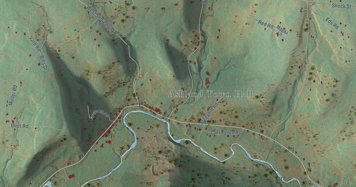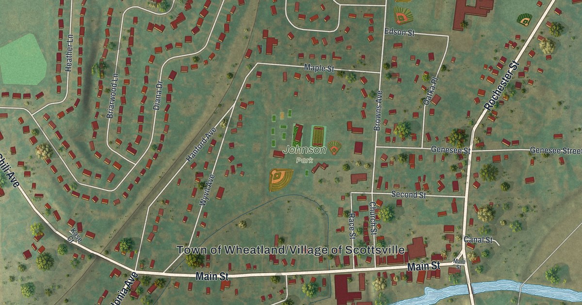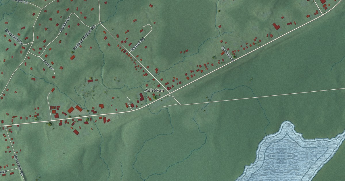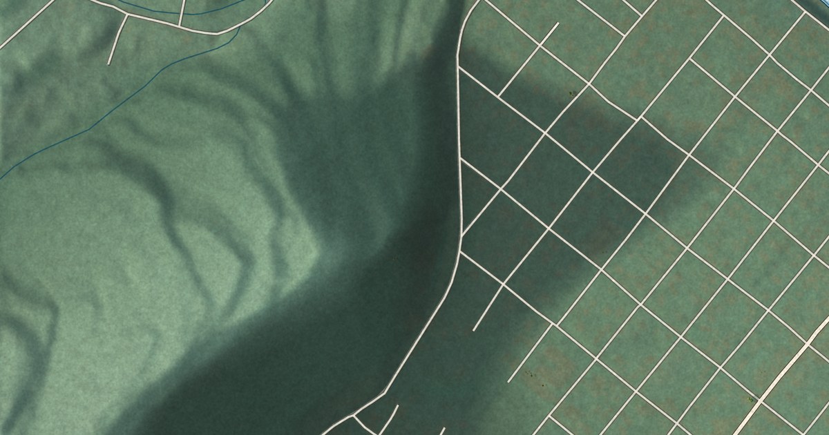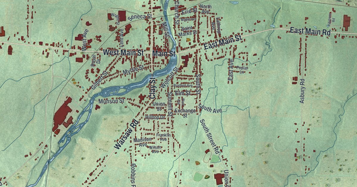
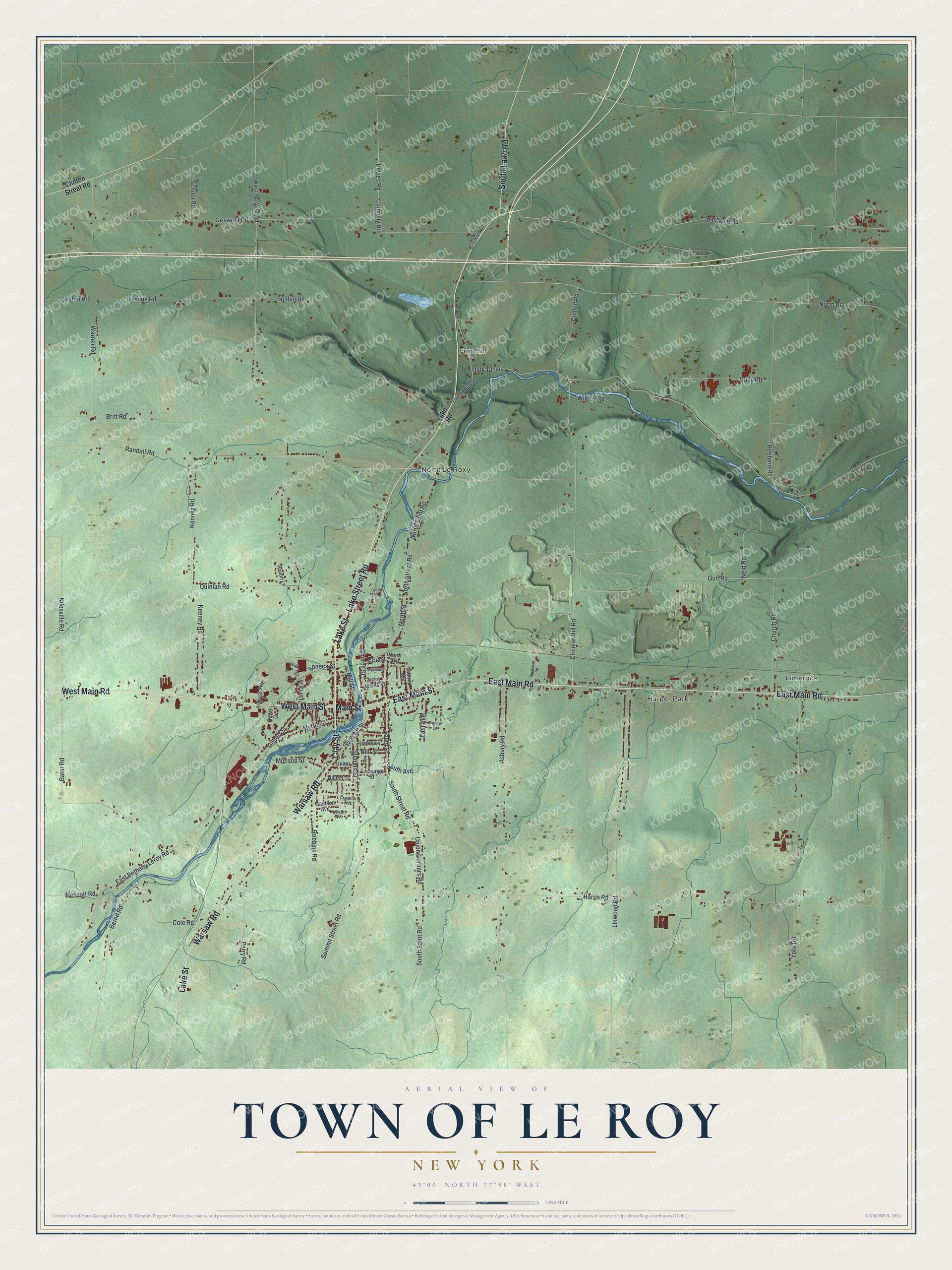
This beautifully detailed map of the Town of Le Roy, New York was created in 2026 using aerial imagery combined with modern topographical, census, street and landmark data. It’s a one-of-a-kind view of the Town of Le Roy that combines accurate data with a vintage aesthetic. The map shows every building in its true location, many of the roads carry their names, and the shaded topographic relief shows the shape of the land.
Explore an aerial view of the Town of Le Roy, New York
On the map you’ll find Limerock, Harper Park, Fort Hill, and North Le Roxy, along with Lake Street Road, Main Road, Lake Street, Main Street, Clay Street, and more. If you look closely you can even find your house accurately drawn in its correct location. Zoom in on the preview to look for yours.
Did You Know?
In 1940 the state guide called Le Roy the birthplace of the stringless bean and the hometown of Jello. The thriving village sat beside Oatka Creek. It had more than its share of fine old post-Colonial houses. That’s from the 1940 WPA guide to New York.
Take a closer look at the Town of Le Roy map
Names on this map
These names are printed on this map.
Places: Limerock, Harper Park, Fort Hill and North Le Roxy.
Streets and roads: Lake Street Road, West Main Road, Lake Street, West Main Street, Main Street, Clay Street, Warsaw Road, East Main Street, South Lake Road, East Main Road, Bater Road, Wolcott Street.
More street names, A to Z
Asbury Road, Bernd Road, Bradnell Avenue, Britt Road, Church Road, Church Street, Circular Hill Road, Clinton Street Road, Cole Road, Conlon Road, Connelly Road, East Avenue, East Bethany Leroy Road, Elm Street, Erie Street, Exchange Street, Franklin Avenue, Gilbert Street, Griswold Circle, Griswold Road, Gulf Road, Gully Road, Harris Road, Haven Lane, Hebbard Road, Hewes Road, Hilltop Drive, Keeney Road, Kenney Road, Lake Road, Lathrop Avenue, Lent Avenue, Linwood Road, Madison Avenue, Maple Avenue, Mill Street, Munson Street, Myrtle Street, Neid Road, Nilesville Road, North Avenue, North Road, North Saint Road, North Street, North Street Road, Oatka Trail, Parmalee Road, Perry Road, Platt Avenue, Poplar Lane, Quinlan Road, Randall Road, Red Mill Road, Ribstone Road, Robbins Road, Royal Drive, Saint Marks Street, School Road, Selden Road, Seldon Road, Seneca Street, South Avenue, South Saint Road, South Street, South Street Road, Summit Street, Summit Street Road, Thwing Road, Union Corners Road, Union Street, Vallance Road, Warner Road, Wescott Road, West Avenue, West Bergen Road, Wilcox Road, Wilson Avenue, Wright Street, York Road.
See it on a wall
The Le Roy map as a framed print. Swipe for more.


This beautifully detailed map of the Town of Le Roy makes an attractive addition to your office, library, or den, and it can even be used to teach children the geography and history of the area. It also makes a great gift for anyone who grew up in the Town of Le Roy or moved away. When you’re done exploring, click here to get your copy of the Town of Le Roy map.