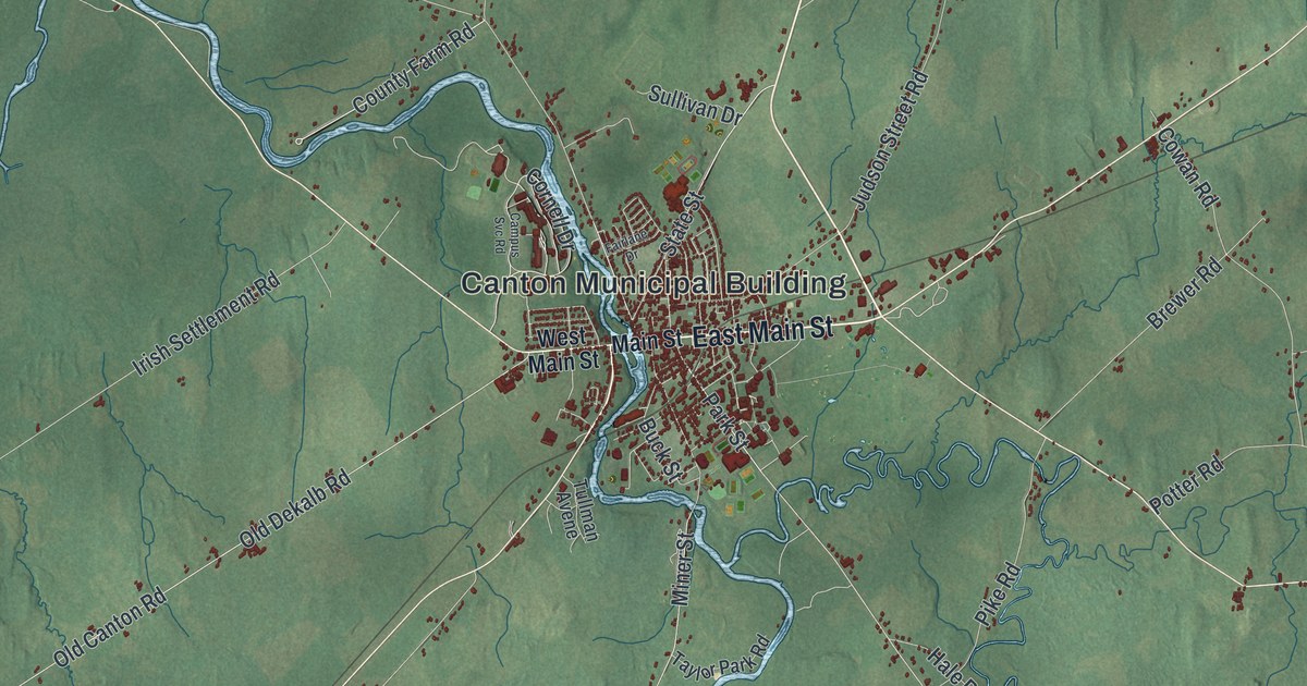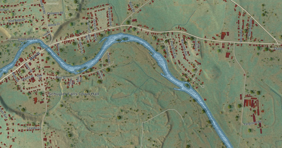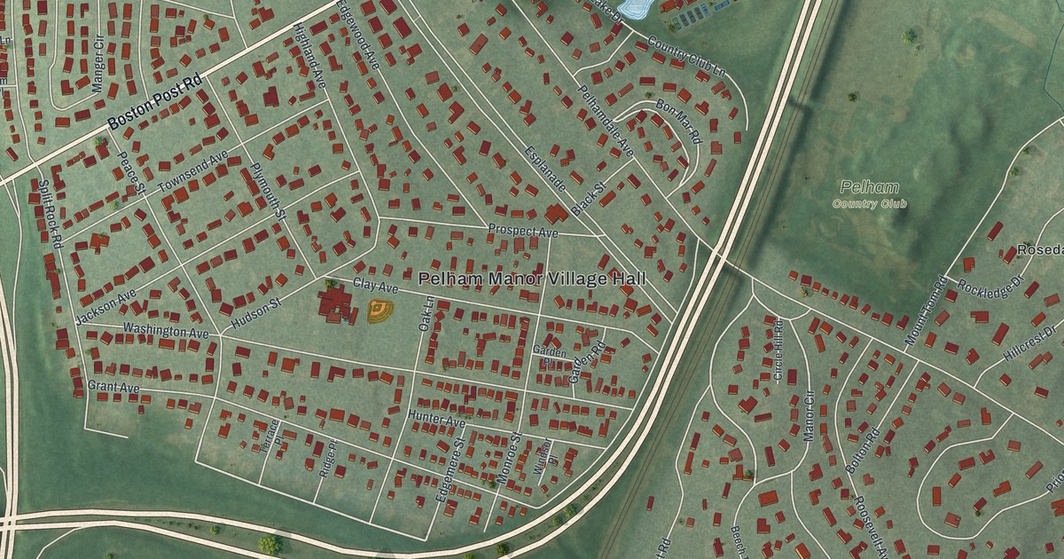
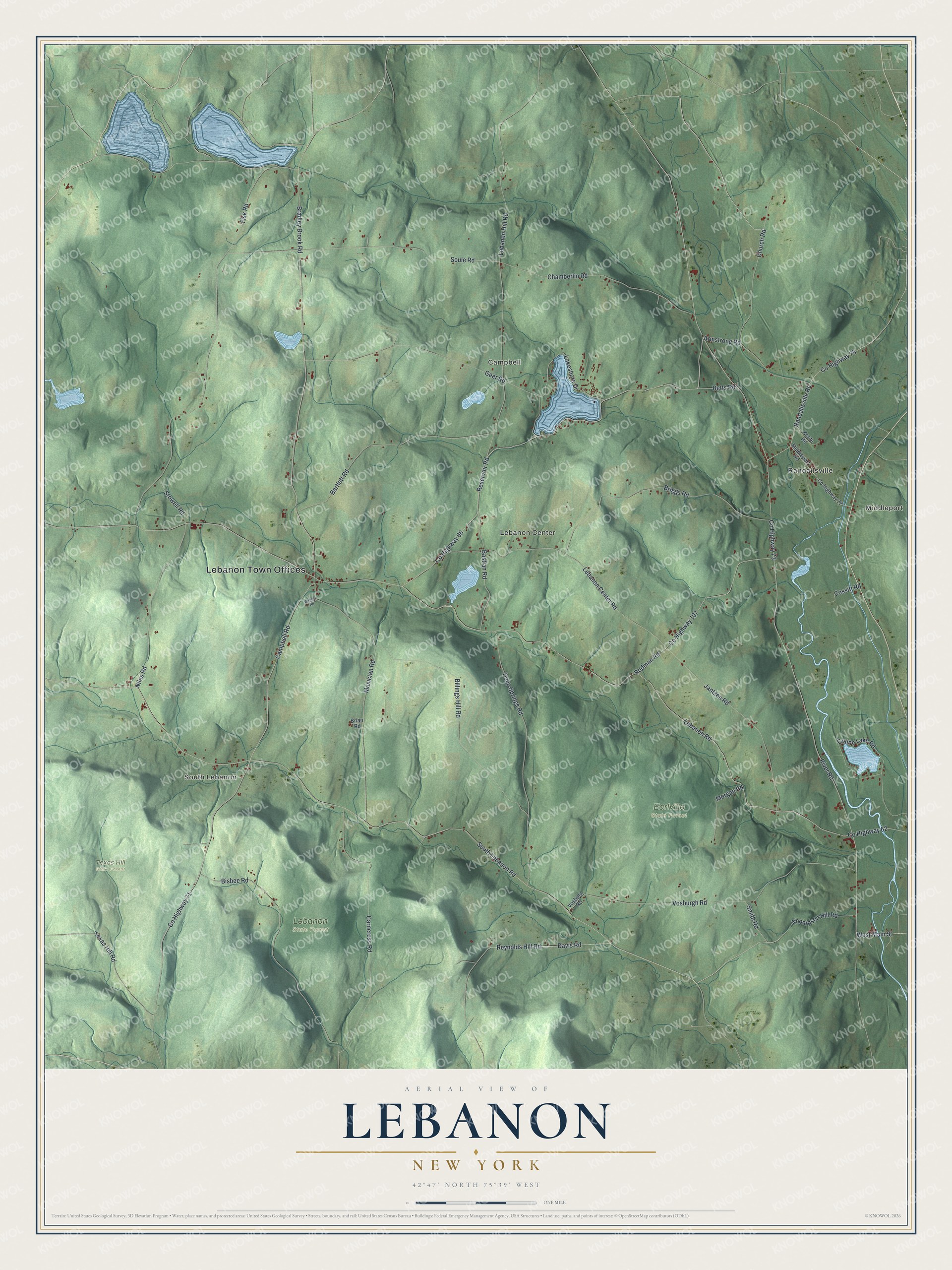
This beautifully detailed map of Lebanon, New York was created in 2026 using aerial imagery combined with modern topographical, census, street and landmark data. It’s a one-of-a-kind view of Lebanon that combines accurate data with a vintage aesthetic. The map shows every building in its true location, many of the roads carry their names, and the shaded topographic relief shows the shape of the land.
Explore an aerial view of Lebanon, New York
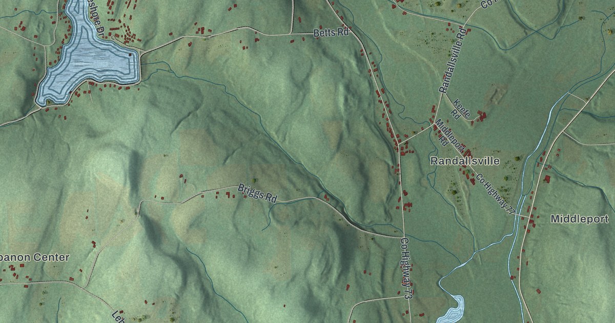
On the map you’ll find Lebanon Town Offices, Middleport, Randallsville, South Lebanon, Campbell, Lebanon Center, Earlville State Forest, and Texas Hill State Forest, along with Lebanon Road, Campbell Road, Church Road, River Road, and more. If you look closely you can even find your house accurately drawn in its correct location. Zoom in on the preview to look for yours.
Did You Know?
General Erastus Cleveland founded Lebanon, and it became a town in 1807. When asked for a name, he thought of the cedars of Lebanon in the Bible. Many settlers had walked long miles from Lebanon, Connecticut. They took the new name as a tribute to them.
Take a closer look at the Lebanon map
Names on this map
These names are printed on this map.
Places: Lebanon Town Offices, Middleport, Randallsville, South Lebanon, Campbell, Lebanon Center, Earlville State Forest, Lebanon State Forest and Texas Hill State Forest.
Streets and roads: County Highway 62, Lebanon Road, Campbell Road, Church Road, County Highway 71, County Highway 73, River Road, South Lebanon Road, County Highway 66, Reservoir Road, Bradley Brook Road, Fisk Road.
More street names, A to Z
Armstrong Road, Bartlett Road, Bastian Road, Betts Road, Billings Hill Road, Bisbee Road, Brian Road, Briggs Road, Carncross Road, Chamberlin Road, Cossitt Road, County Highway 75, County Highway 77, County Highway 107, Craine Lake Road, Davis Road, Deep Springs Road, Geer Road, Jantzen Road, Keefe Road, Lakeshore Drive, Lebanon Center Road, Lebanon Hill Road, Middleport Road, Morgan Road, Musician Road, Niles Road, Randallsville Road, Reynolds Hill Road, Rodman Road, Smith Road, Soule Road, Stowell Road, Texas Hill Road, Thompson Hill Road, Vosburgh Road, Vosburg Road, Wagner Road, West Main Street.
See it on a wall
The Lebanon map as a framed print. Swipe for more.


This beautifully detailed map of Lebanon makes an attractive addition to your office, library, or den, and it can even be used to teach children the geography and history of the area. It also makes a great gift for anyone with Lebanon roots. When you’re done exploring, click here to get your copy of the Lebanon map.