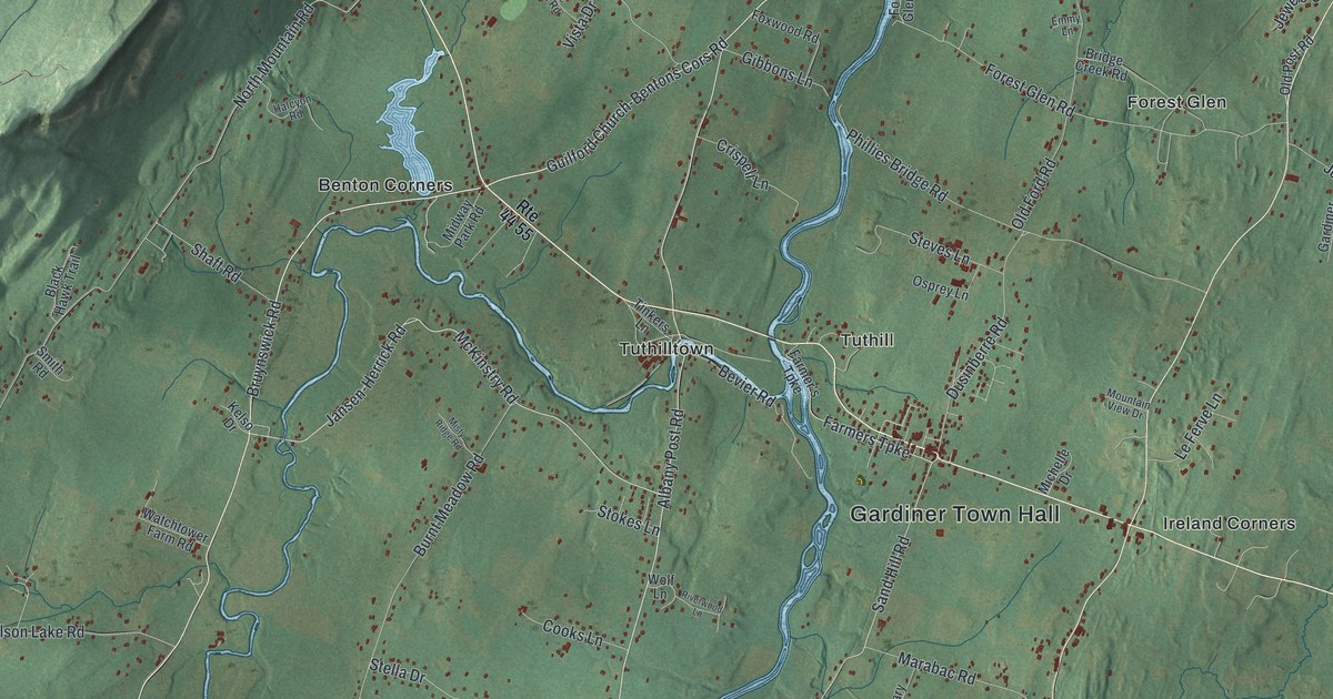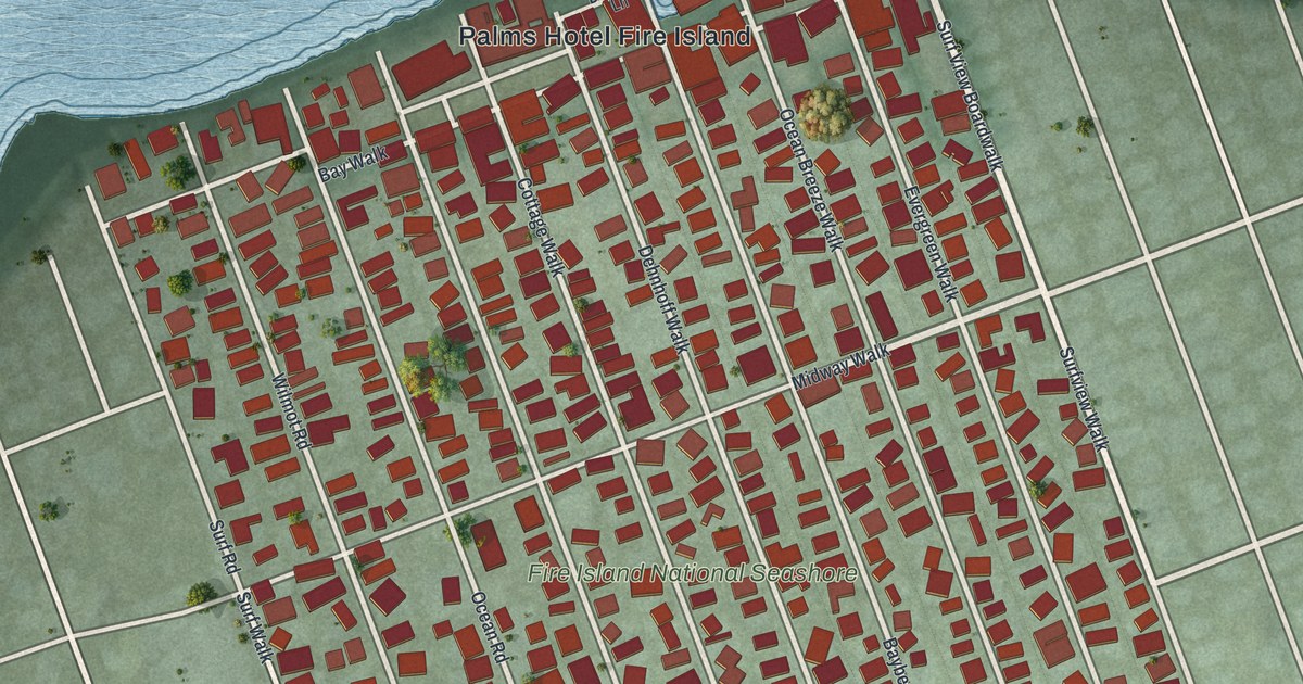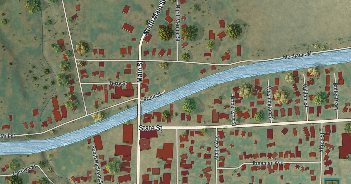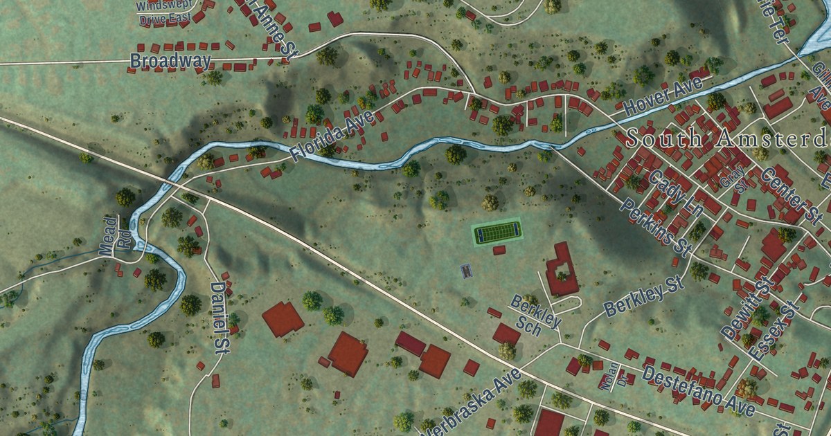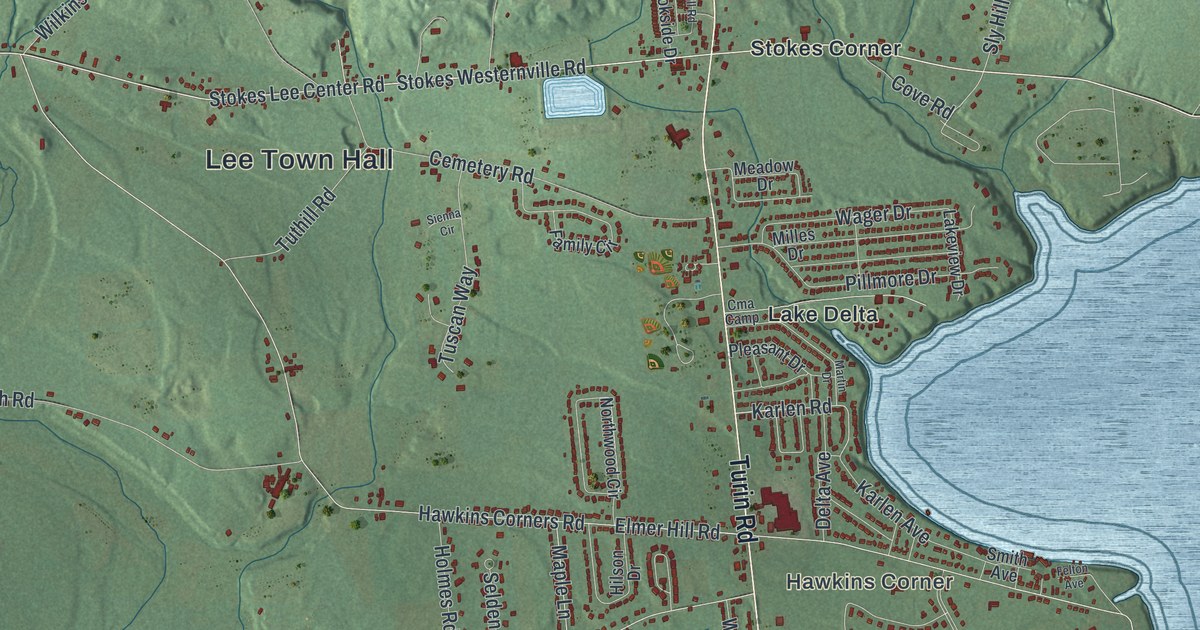
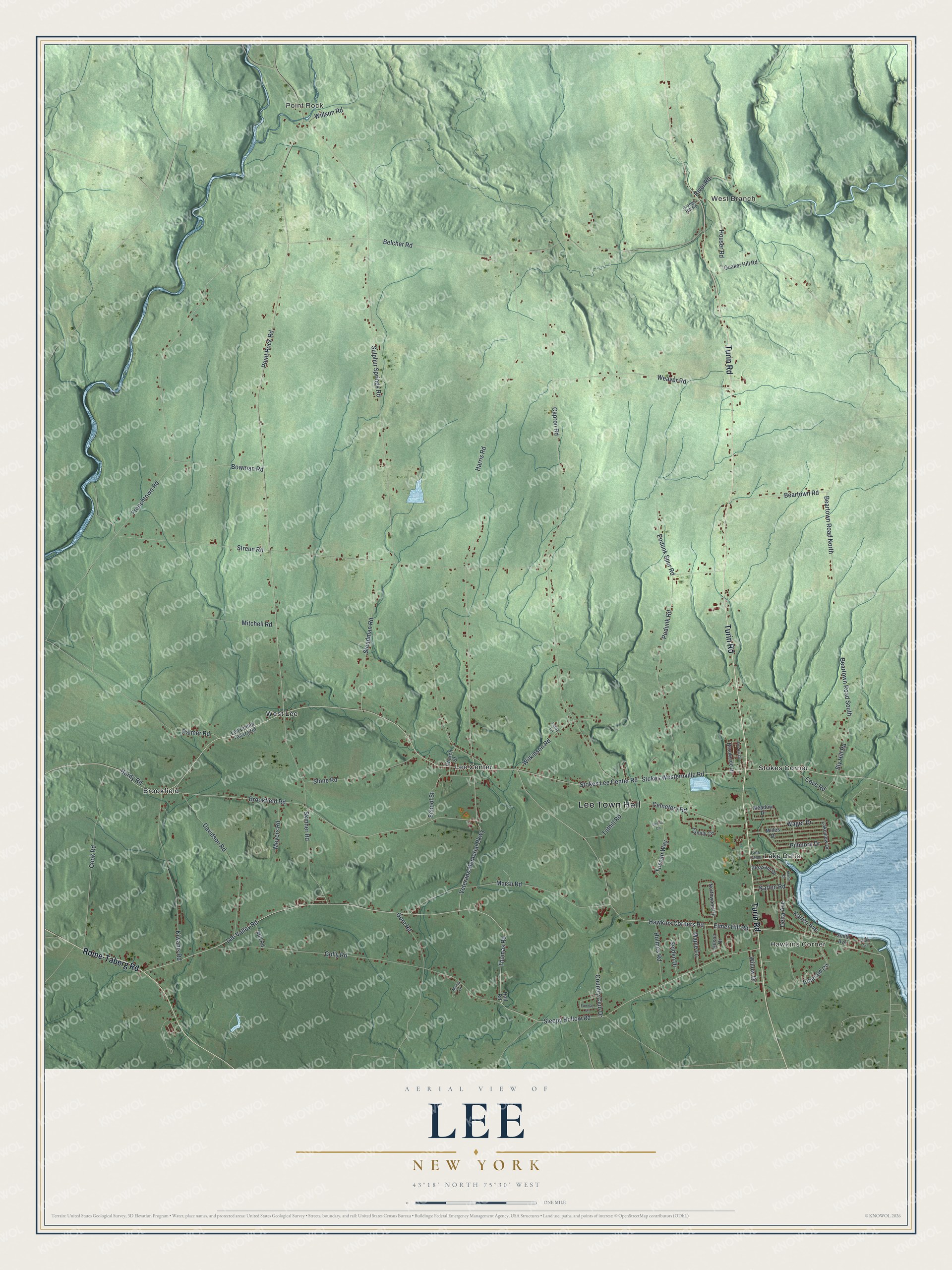
This beautifully detailed map of Lee, New York was created in 2026 using aerial imagery combined with modern topographical, census, street and landmark data. It’s a one-of-a-kind view of Lee that combines accurate data with a vintage aesthetic. The map shows every building in its true location, many of the roads carry their names, and the shaded topographic relief shows the shape of the land.
Explore an aerial view of Lee, New York
On the map you’ll find Lee Town Hall, Hawkins Corner, Point Rock, West Branch, Brookfield, and Lake Delta, along with Turin Road, Rome-Taberg Road, Thomas Road, Veterans Memorial Parkway, and more. If you look closely you can even find your house accurately drawn in its correct location. Zoom in on the preview to look for yours.
Did You Know?
Lee was carved out of the town of Western in 1811. It took its name from Charles Lee, a general in the Revolutionary War. George W. Kingsbury was born in Lee on December 16, 1837. Kingsbury County in South Dakota is named for him and his brother.
Take a closer look at the Lee map
Names on this map
These names are printed on this map.
Places: Lee Town Hall, Hawkins Corner, Point Rock, West Branch, Brookfield, Lake Delta, Lee Center, Stokes Corner and West Lee.
Streets and roads: Turin Road, Rome-Taberg Road, Thomas Road, Veterans Memorial Parkway, Lee Valley Road, Stokes Westernville Road, Brookfield Road, Houser Road, Karlen Road, School Street, Cove Road, Frenchtown Road.
More street names, A to Z
Beartown Road, Beartown Road North, Beartown Road South, Belcher Road, Bowman Road, Brookside Drive, Capron Road, Cemetery Road, Church Street, Cma Camp, Cook Road, Country Club Drive, Davidson Road, Delta Avenue, Elmer Hill Road, Emerald Circle, Fairway Lane, Family Circle, Felton Avenue, Fox Hill Road, Golly Road, Gore Road, Grange Hill Road, Hall Road, Hardy Road, Harris Road, Hawkins Corners Road, Hilson Drive, Holmes Road, Karlen Avenue, Kiwanis Road, Lakeview Drive, Laroy Lane, Lee Center Taberg Road, Maple Lane, Maria Lane, Marsh Road, Martin Drive, Meadow Drive, Meyers Road, Milles Drive, Mill Road, Mitchell Road, Northwood Circle, Palmer Road, Pillmore Drive, Pleasant Drive, Podunk Road, Podunk Spur Road, Point Rock Road, Quaker Hill Road, River Road, Selden Drive, Sienna Circle, Skinner Road, Sleepy Hollow Road, Slone Road, Sly Hill Road, Smith Avenue, Steadman Road, Stokes Lee Center Road, Streun Road, Sulphur Springs Road, Tuscan Way, Tuthill Road, Wager Drive, Weaver Road, Wilkinson Road, Willow Drive, Willson Road.
See it on a wall
The Lee map as a framed print. Swipe for more.


This beautifully detailed map of Lee makes an attractive addition to your office, library, or den, and it can even be used to teach children the geography and history of the area. It also makes a great gift for anyone who grew up in Lee or moved away. When you’re done exploring, click here to get your copy of the Lee map.