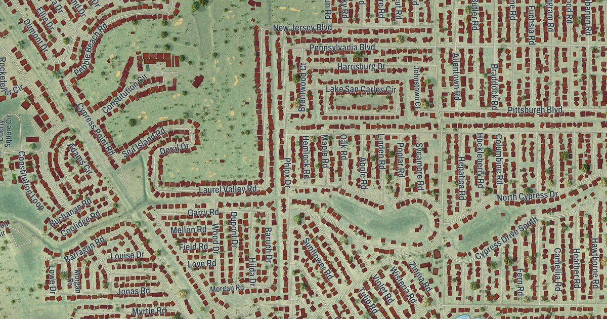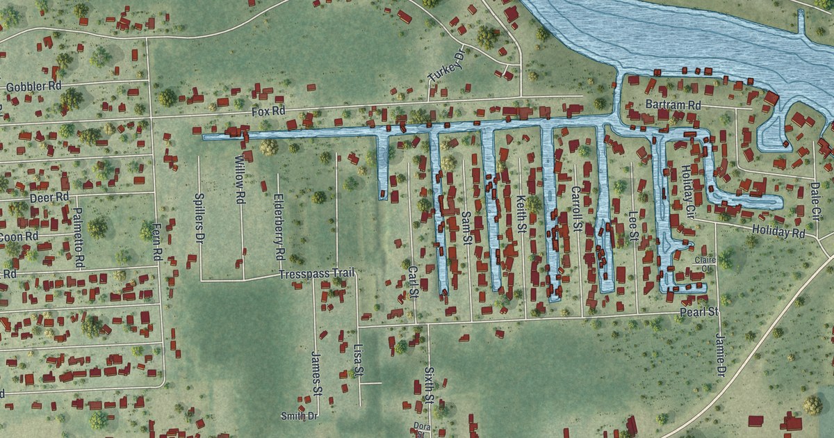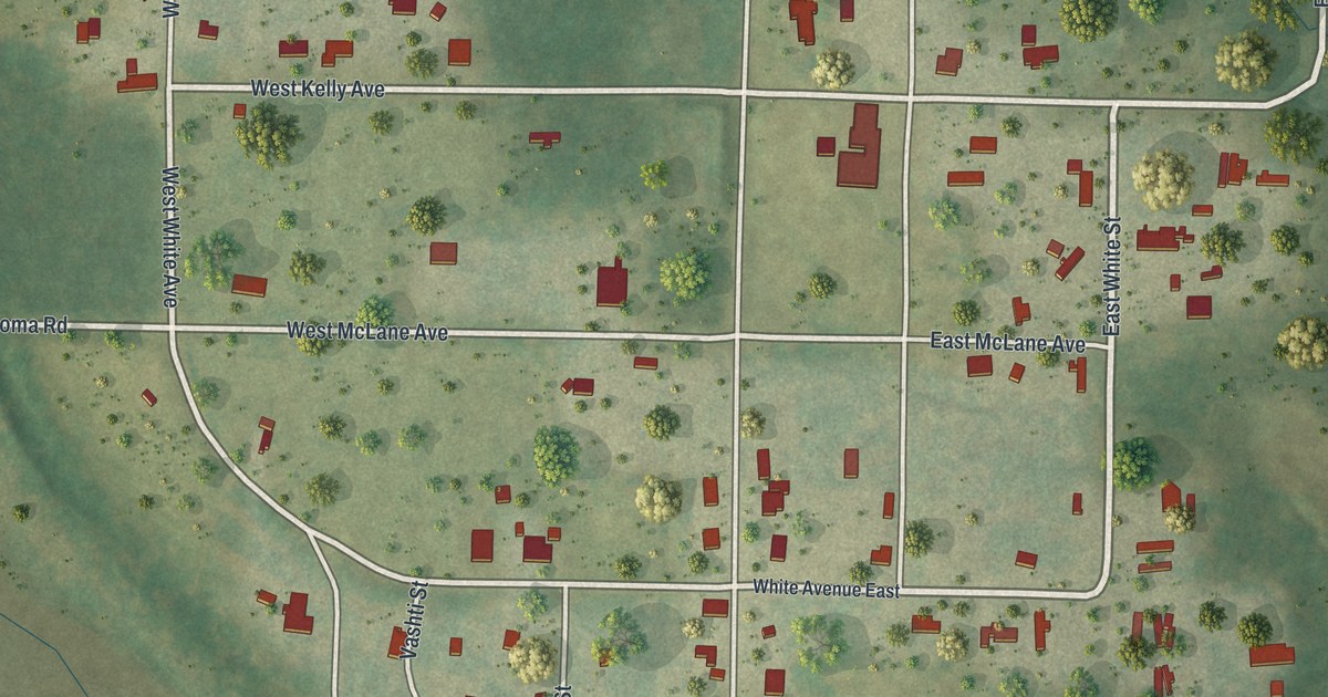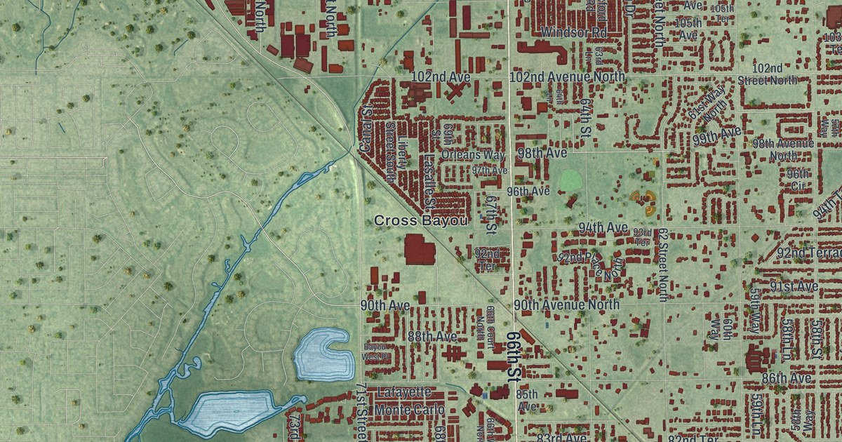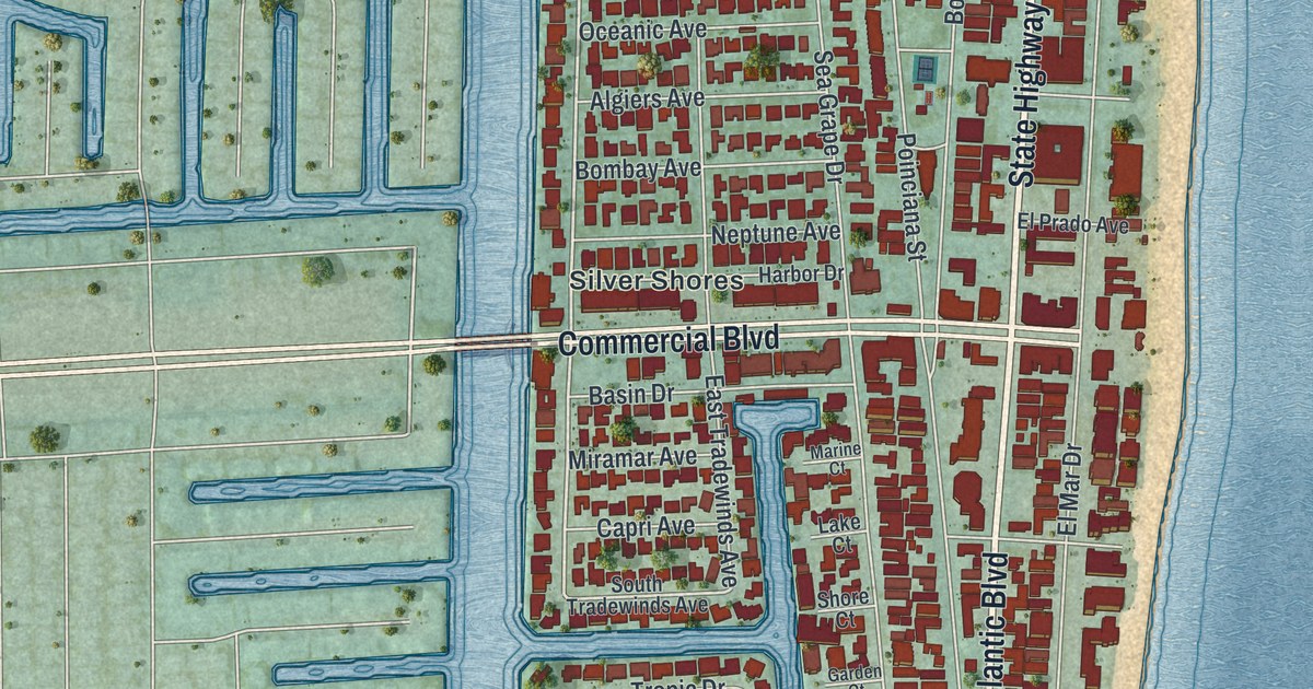
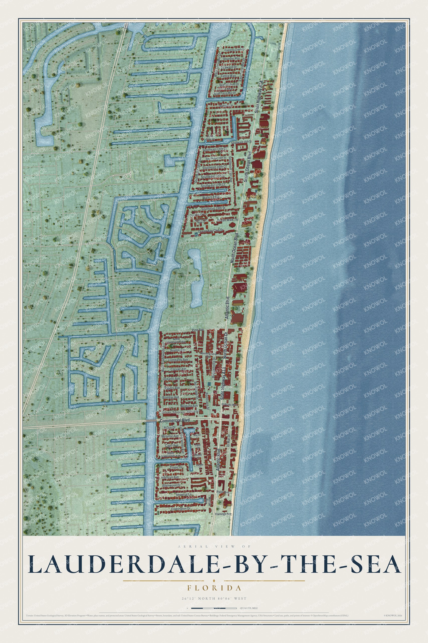
This beautifully detailed map of Lauderdale-by-the-Sea, Florida was created in 2026 using aerial imagery combined with modern topographical, census, street and landmark data. It’s a one-of-a-kind view of Lauderdale-by-the-Sea that combines accurate data with a vintage aesthetic. The map shows every building in its true location, many of the roads carry their names, and the shaded topographic relief shows the shape of the land.
Explore an aerial view of Lauderdale-by-the-Sea, Florida
On the map you’ll find Silver Shores and Terra Mar, along with North Ocean Boulevard, North Ocean Drive, State Highway A1A, Atlantic Boulevard, Commercial Boulevard, South Ocean Boulevard, Allenwood Drive, West Tradewinds Avenue, El Mar Drive, Bougainvilla Drive, and more. If you look closely you can even find your house accurately drawn in its correct location. Zoom in on the preview to look for yours.
Did You Know?
In May 1900, the British steamship Copenhagen struck a coral reef off the town. The ship sank in 25 feet of water. Today the wreck is a Florida underwater archaeological preserve. It is also listed on the National Register of Historic Places.
Take a closer look at the Lauderdale-by-the-Sea map
Names on this map
These names are printed on this map.
Places: Silver Shores and Terra Mar.
Streets and roads: North Ocean Boulevard, North Ocean Drive, Atlantic Boulevard, Commercial Boulevard, South Ocean Boulevard, Allenwood Drive, West Tradewinds Avenue, El Mar Drive, Bougainvilla Drive, Sea Grape Drive, Poinciana Street, Pine Avenue.
More street names, A to Z
Algiers Avenue, Avalon Avenue, Basin Drive, Bombay Avenue, Capri Avenue, Codrington Drive, Corsair Avenue, Cypress Creek Drive, East Terra Mar Drive, East Tradewinds Avenue, El Prado Avenue, Fiesta Way, Flamingo Avenue, Garden Court, Harbor Drive, Hibiscus Avenue, Imperial Lane, Lake Court, Lombardy Avenue, Marine Court, Miramar Avenue, Neptune Avenue, North Tradewinds Avenue, Ocean Bay Club Drive, Oceanic Avenue, Oceanwalk Lane, Ocean Walk Terrace, Oleander Way, Palm Avenue, Palm Club Drive, Seaward Drive, Shore Court, Southeast 15th Court, Southeast 15th Street, Southeast 16th Court, Southeast 16th Street, Southeast 17th Court, Southeast 17th Street, Southeast 19th Avenue, Southeast 19th Street, Southeast 21st Avenue, South Ocean Walk Lane, South Terra Mar Drive, South Tradewinds Avenue, Spanish River Drive, Sunset Lane, Thomas Way, Tropic Drive, Washingtonia Avenue, Waters Edge, West Terra Mar Drive.
See it on a wall
The Lauderdale-by-the-Sea map as a framed print. Swipe for more.


This beautifully detailed map of Lauderdale-by-the-Sea makes an attractive addition to your office, library, or den, and it can even be used to teach children the geography and history of the area. It also makes a great gift for anyone with Lauderdale-by-the-Sea roots. When you’re done exploring, click here to get your copy of the Lauderdale-by-the-Sea map.