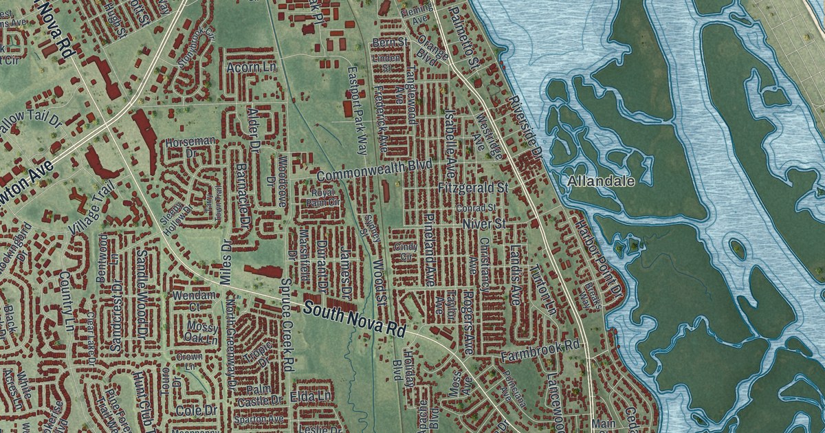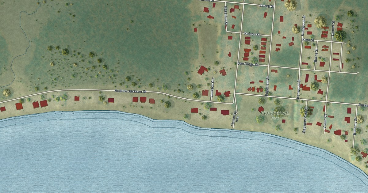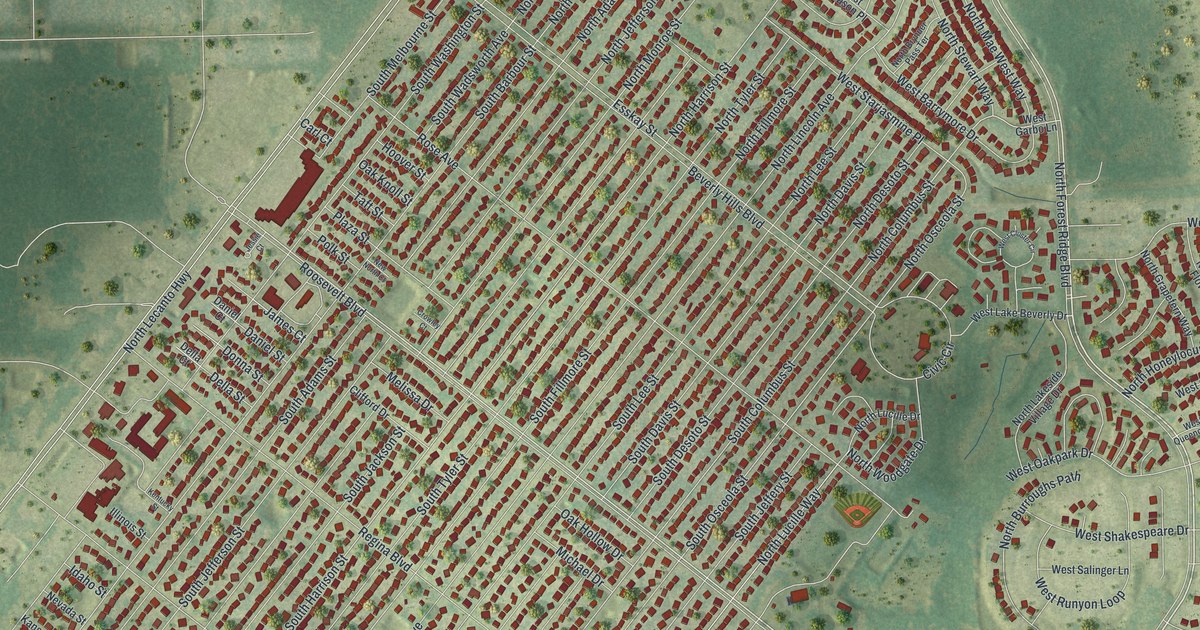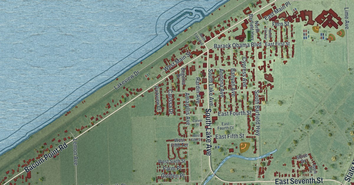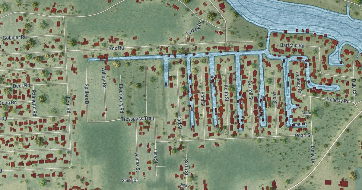
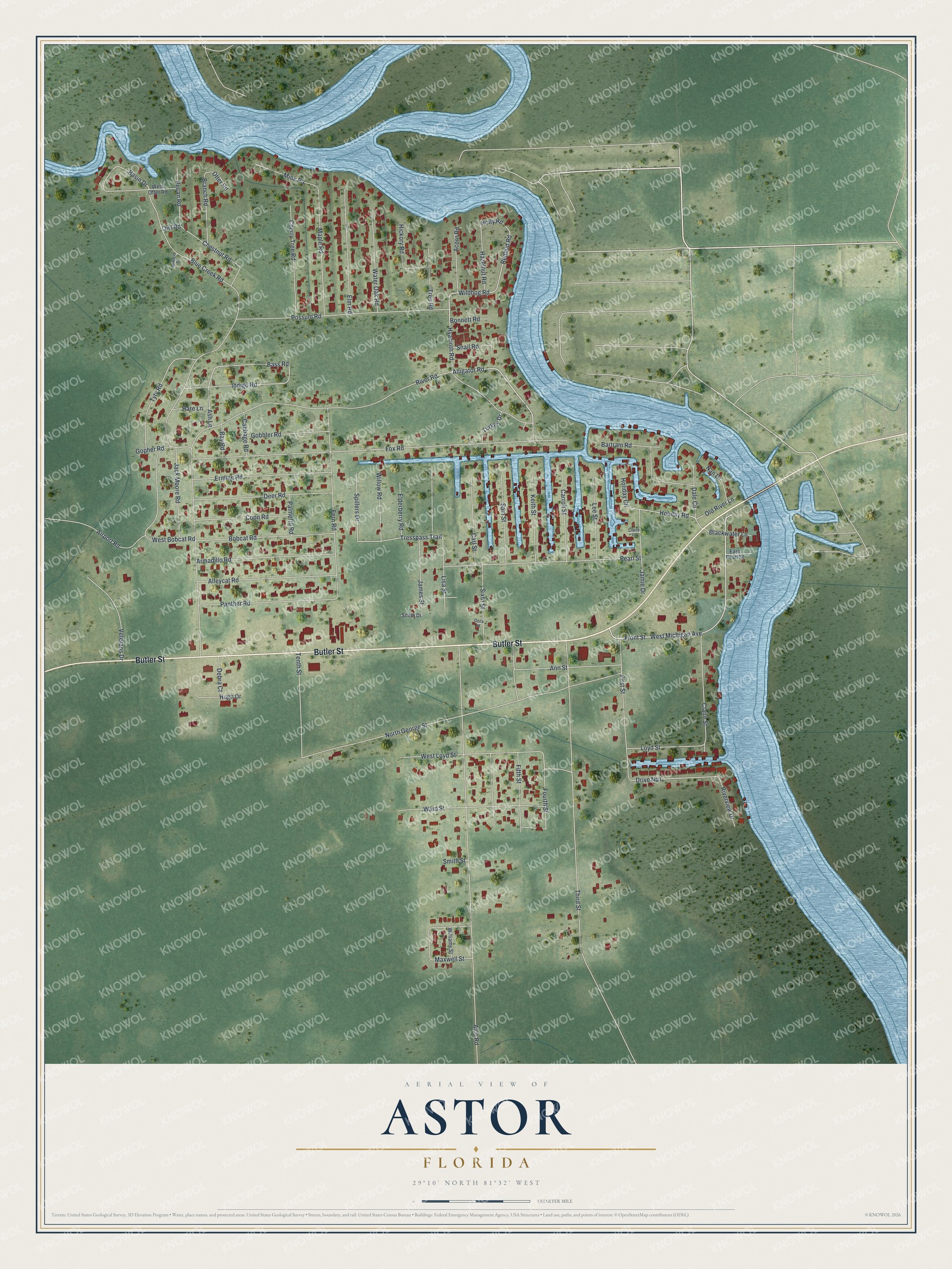
This beautifully detailed map of Astor, Florida was created in 2026 using aerial imagery combined with modern topographical, census, street and landmark data. It's a modern aerial view of Astor in Lake County, Florida, that combines modern data with a vintage aesthetic. The roads feature printed names, and if you look closely you can find your exact house accurately shown in its correct location.
Explore an aerial view of Astor, Florida
On this map you'll find Butler Street, Alligator Road, Hyacinth Road, Fox Road, Wildhog Road, Front Street, Redbud Road, West Michigan Avenue, Holiday Road, Cherry Tree Road, Bass Road, Tresspass Trail, and more. Each red shape is a building, so zoom in on the preview and look for yours.
Astor is a community in Lake County. The Census Bureau counted 1,759 people here in 2020. Astor sits about 7 miles southwest of Pierson, 12 miles west of De Leon Springs and 12 miles north of Lake Kathryn. The map prints the town name in its title panel, with the coordinates below it.
Take a closer look at the Astor map
Names on this map
These names are printed on this map.
Streets and roads: Butler Street, Alligator Road, Hyacinth Road, Fox Road, Wildhog Road, Front Street, Redbud Road, West Michigan Avenue, Holiday Road, Cherry Tree Road, Bass Road, Tresspass Trail.
More street names, A to Z
Acorn Road, Airport Road, Alco Road, Alleycat Road, Ann Street, Armadillo Road, Ash Lane, Bartram Road, Basin Drive, Bay Road, Blackwater Lane, Blue Creek Road, Bobcat Road, Bonnett Road, Branch Drive, Branch Road, Cabbage Road, Carl Street, Carroll Street, Chestnut Road, Claire Court, Claire Street, Coon Road, Dale Circle, Debra Court, Deer Road, Dora Street, Drive No1, East Pearl Street, Elderberry Road, Elm Road, Ermine Road, Fern Road, Fifth Street, First Street, Fourth Street, Gobbler Road, Gopher Road, Hare Lane, Hazelnut Road, Hickory Road, Holiday Circle, Holly Road, Hugh Drive, Indigo Road, Jack Moore Road, James Street, Jamie Drive, Keith Street, Lee Street, Lisa Street, Loyd Street, Maple Road, Maxwell Street, Mink Road, Nan Drive, North George Street, Old River Lane, Otter Road, Owl Road, Palmetto Road, Panther Road, Pearl Street, Pecan Road, Possum Road, River Road, Riverview Drive, Sam Street, Sixth Street, Smith Drive, Smith Street, Snail Road, Spillers Drive, Tenth Street, Third Street, Tree Road, Turkey Drive, Tyty Road, Veterans Drive, Ward Street, Water Oak Road, West Bobcat Road, West Loyd Street, West Otter Road, Williams Street, Willow Road.
See it on a wall
The Astor map as a framed print. Swipe for more.


Created by KNOWOL in 2026. The buildings are small red shapes, the roads carry their printed names, and shaded relief shows the shape of the land. The title panel reads "AERIAL VIEW OF ASTOR, FLORIDA" with 29°10' NORTH 81°32' WEST.
Hang it in the hallway, the office or the cabin, or give it to someone who left Astor and still calls it home. Open the preview and look for a street you know. See sizes and frames for the Astor map.