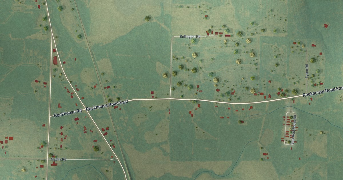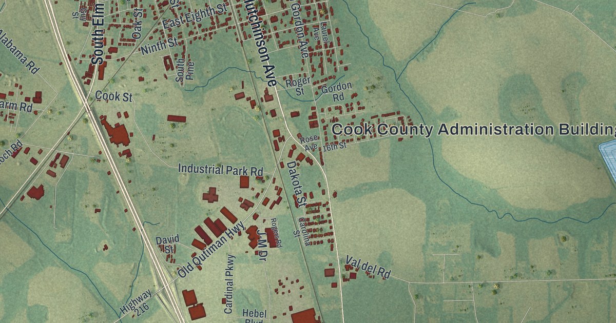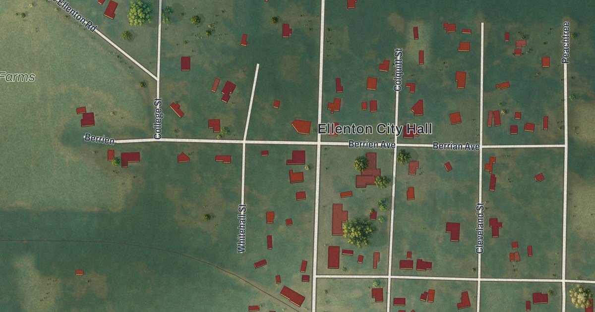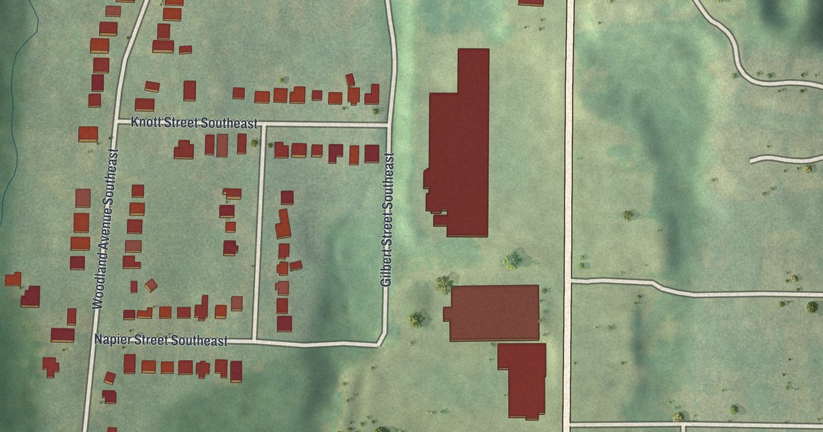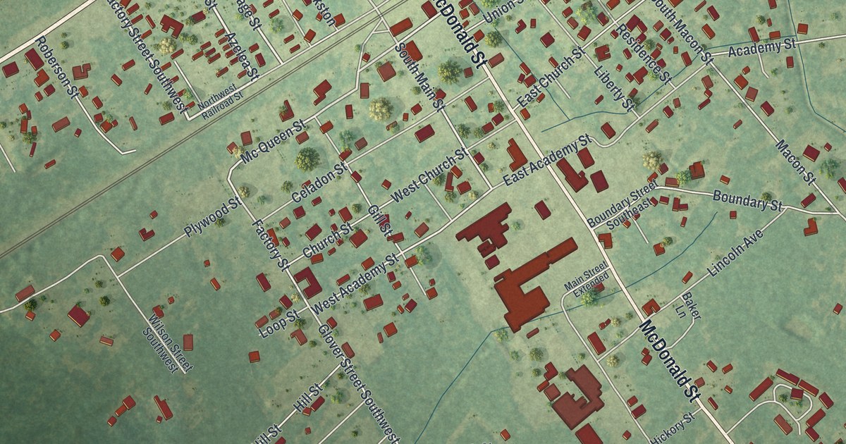
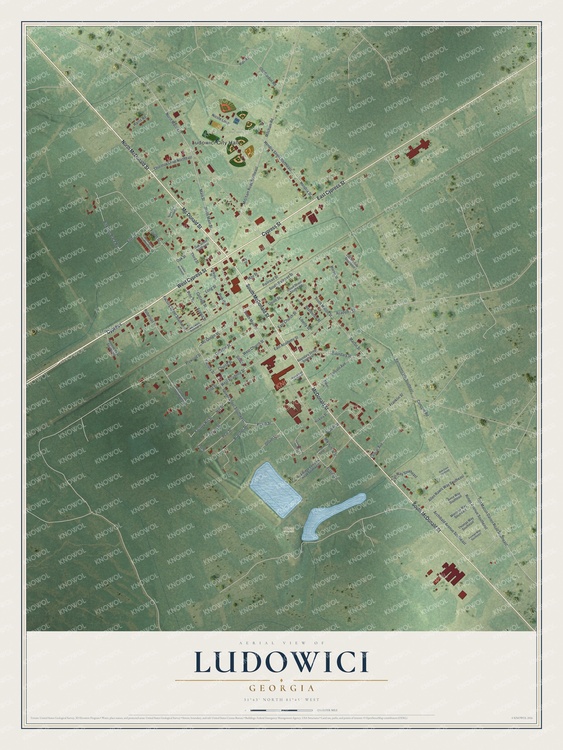
This beautifully detailed map of Ludowici, Georgia was created in 2026 using aerial imagery combined with modern topographical, census, street and landmark data. It’s a one-of-a-kind view of Ludowici that combines accurate data with a vintage aesthetic. The map shows every building in its true location, many of the roads carry their names, and the shaded topographic relief shows the shape of the land.
Explore an aerial view of Ludowici, Georgia
On the map you’ll find Ludowici City Hall, Long County Recreation Park, and Citizens Cemetery, along with Cypress Street, McDonald Street, Factory Street, and more. If you look closely you can even find your house accurately drawn in its correct location. Zoom in on the preview to look for yours.
Did You Know?
The Ludowici Roofing Tile Company opened a factory here and gave money and roof tiles for a new high school in 1905. That same year the town incorporated and took the company’s name to honor it. From 1906 to 1913, the plant made tile for government buildings in the Panama Canal Zone.
Take a closer look at the Ludowici map
Names on this map
These names are printed on this map.
Places: Ludowici City Hall, Long County Recreation Park and Citizens Cemetery.
Streets and roads: West Cypress Street, Cypress Street, South McDonald Street, McDonald Street, Mc Donald Street, East Cypress Street, Cypress, North McDonald Street, Factory Street Southwest, Azelea Street, Hendrix Street, Hendrix Street Northeast.
More street names, A to Z
4 Street Northwest, Academy Street, Allen Rawls Way Southeast, Anna Way Southeast, Archibald Avenue Southeast, Baker Lane, Bolick Lane Northwest, Boundary Street, Boundary Street Southeast, Bratcher Street, Ceasar Avenue, Celadon Street, Church Street, Concord Road, Cottage Street, Cutters Gap Southeast, East Academy Street, East Church Street, Elm Street, Factory Hill Street, Factory Street, Fifth Street, Forman Way Southeast, Fourth Street, Franklin Street, Frasier Lane, Gamble Street Southwest, Gill Street, Glover Lane, Glover Street Southwest, Hall Road, Harmonees Way Southeast, Harris Road, Hickory Street, Hill Street, Horne Street, Johnson Loop, Lee Street, Liberty Street, Lincoln Avenue, Long Street, Loop Street, Macon Street, Main Street, Main Street Extended, Mc Queen Street, Mitcham Road, Mitcham Road Northeast, Mlk Junior Street, Morrison Way Southeast, Nicole Loop, North Macon Street, North Main Street, Northwest Railroad Street, Oak Ridge Cemetery Road Southwest, Oak Street, Oak Street Northwest, Old Gordon Road, Old Macon Darien Road Southeast, Peach Street, Pear Street, Pecan Street, Pine Street, Pinkston, Pinkston Place Road, Pinkston Street, Plywood Street, Railroad Street, Residence Street, Rimes Avenue Southeast, Roberson Street, Ruth Court Southeast, Sandalwood Drive Northwest, South Macon Street, South Main Street, South Railroad Street, Stevens Lane Southwest, Third Street, Thomas Way Southeast, Thornton Drive Northeast, Tias Way Southeast, Union Street, Union Street Southeast, Walker Street, Way Street, West Academy Street, West Church Street, Wilson Street Southwest.
See it on a wall
The Ludowici map as a framed print. Swipe for more.


This beautifully detailed map of Ludowici makes an attractive addition to your office, library, or den, and it can even be used to teach children the geography and history of the area. It also makes a great gift for someone who left Ludowici and still calls it home. When you’re done exploring, click here to get your copy of the Ludowici map.