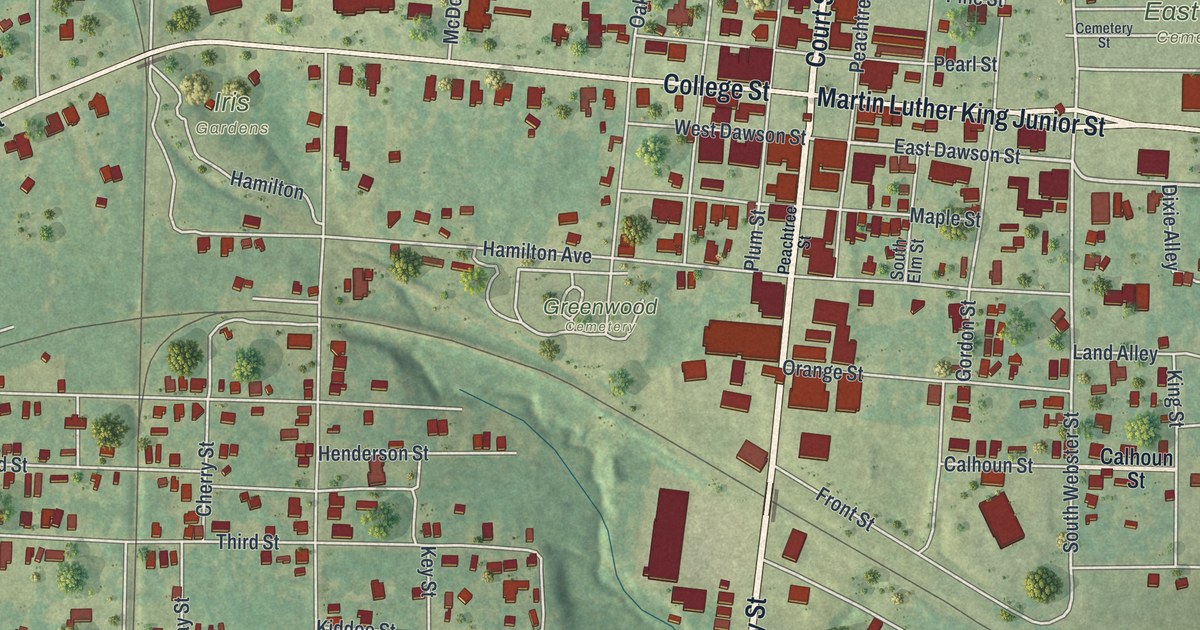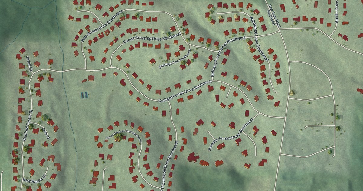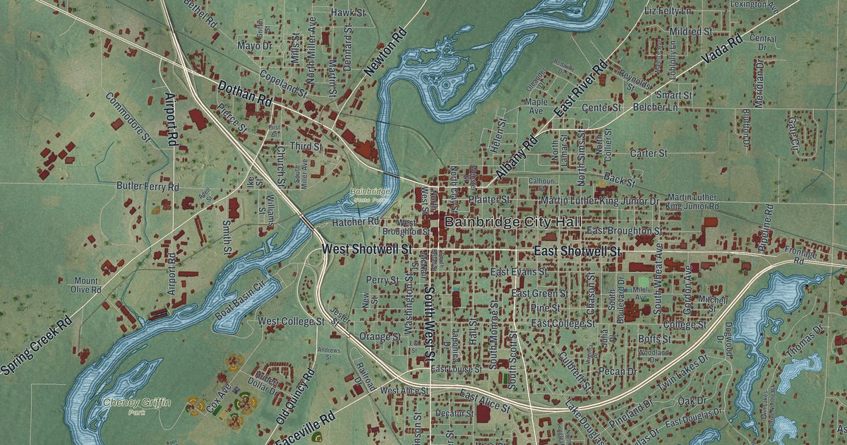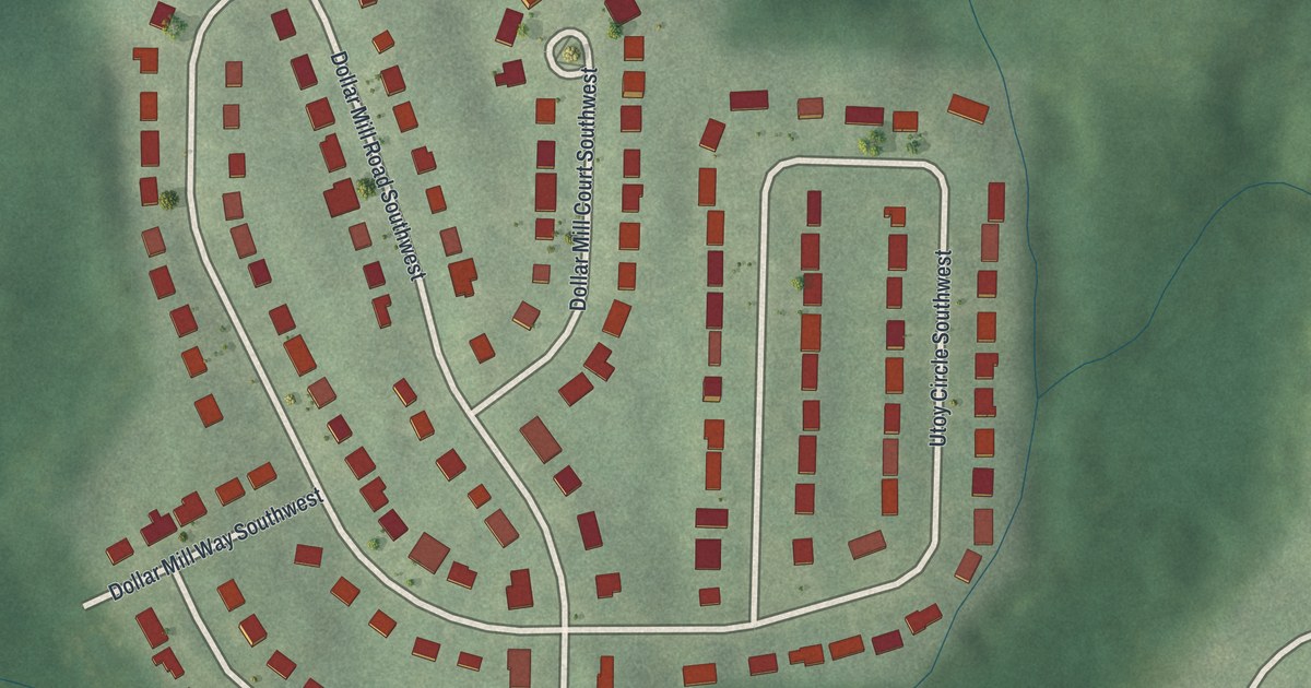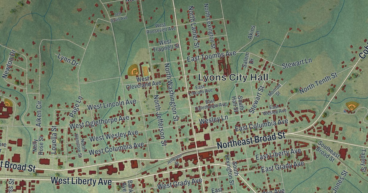
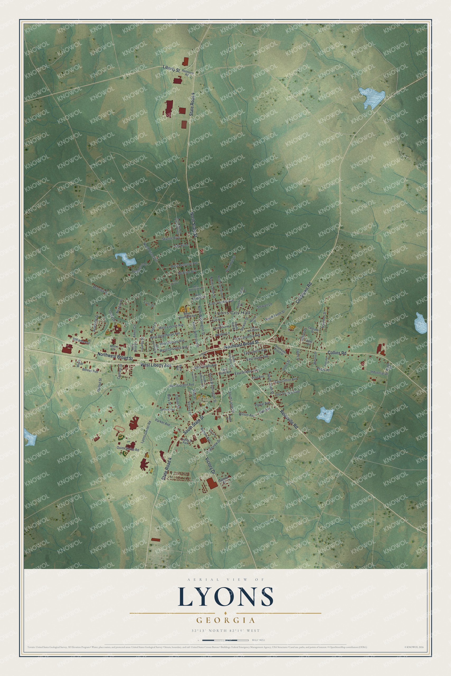
This beautifully detailed map of Lyons, Georgia was created in 2026 using aerial imagery combined with modern topographical, census, street and landmark data. It’s a one-of-a-kind view of Lyons that combines accurate data with a vintage aesthetic. The map shows every building in its true location, many of the roads carry their names, and the shaded topographic relief shows the shape of the land.
Explore an aerial view of Lyons, Georgia
On the map you’ll find Lyons City Hall and Partin Park, along with Liberty Avenue, Broad Street, Reidsville Road, State Street, and more. If you look closely you can even find your house accurately drawn in its correct location. Zoom in on the preview to look for yours.
Did You Know?
Lyons began around 1890 as a stop on the Central of Georgia Railway. The town took its name from Mr. Lyons, an official of the railroad. In 1905, Lyons became the seat of the newly created Toombs County.
Take a closer look at the Lyons map
Names on this map
These names are printed on this map.
Places: Lyons City Hall, Partin Park and Tapley's Park.
Streets and roads: West Liberty Avenue, Northwest Broad Street, Reidsville Road, Northeast Broad Street, State Road 4, South State Street, North State Street, Collins Road, Cobbtown Road, Victory Drive, Liberty Street, East Liberty Avenue.
More street names, A to Z
Academy Drive, Aiken Circle, Aiken Street, Akins Lane, Bank Avenue, Belvue Avenue, Cascade Drive, Coleman Drive, Collins Street, Cypress Street, East Clifton Avenue, East Columbia Avenue, East Gordon Avenue, East Grady Avenue, East Lincoln Avenue, East Oglethorpe Avenue, East Stuart Avenue, East Thompson Avenue, East Toombs Avenue, East Wesley Avenue, Hilton Drive, Holly Hill Drive, Industrial Drive, Jeff Davis Avenue, Jefferson Street, Jerry Avenue, Jones Street, Kent Drive, Lakeview Drive, Louella Street, Lynn Drive, Lyons Center Road, Maple Street, Mary Street, McBride Avenue, McDilda Drive, Mimosa Drive, Miot Street, Monroe Street, Moore Circle, Nelly Rose Street, Nelson Avenue, Newton Drive, North Hall Street, North Hamilton Street, North Jefferson Street, North Jefferson Street Extended, North Lanier Street, North Lexington Street, North Tenth Street, North Victory Drive, North Washington Street, Oak Avenue, Oxley Drive, Page Lane, Parker Avenue, Pecan Place, Pendleton Drive, Pine Avenue, Pineridge Drive, Poplar Avenue, Quint Shrine Road, Resmond Road, Salem Drive, Second Avenue, Skyline Boulevard, Solomon Street, Southeast Broad Street, South Gwinnett Street, South Hall Street, South Jefferson Street, South Lanier Street, South Lexington Street, South Tenth Street, South Washington Street, Stewart Lane, Stewart Street, Tapley Street, Walnut Street, Wesley Lane, West Cleveland Avenue, West Columbia Avenue, West Gordon Avenue, West Grady Avenue, West Lincoln Avenue, West Oglethorpe Avenue, West Peterson Avenue, West Roosevelt Avenue, West Trapnell Street, West Wesley Avenue, Willams Avenue, Wilson Avenue, Winge Road.
See it on a wall
The Lyons map as a framed print. Swipe for more.


This beautifully detailed map of Lyons makes an attractive addition to your office, library, or den, and it can even be used to teach children the geography and history of the area. It also makes a great gift for anyone with Lyons roots. When you’re done exploring, click here to get your copy of the Lyons map.