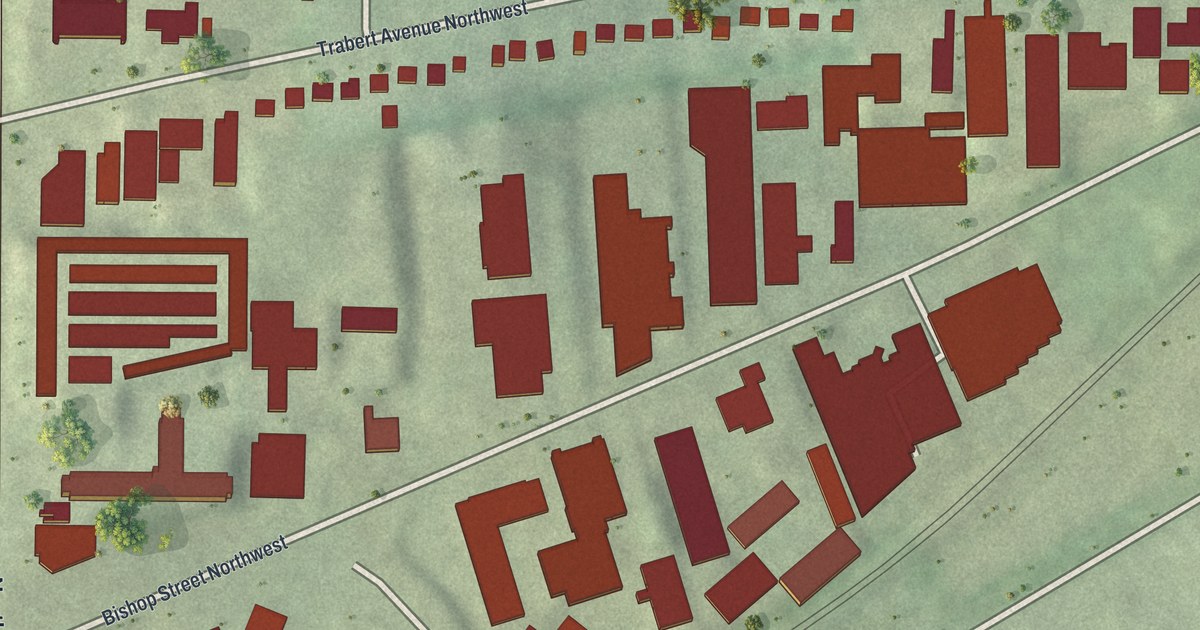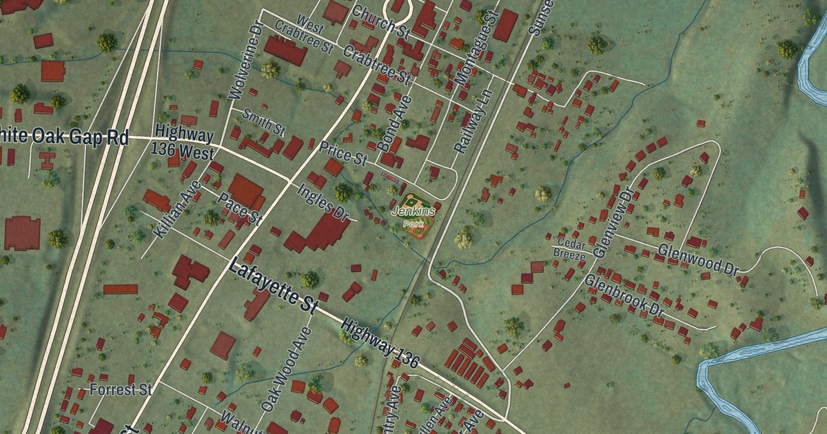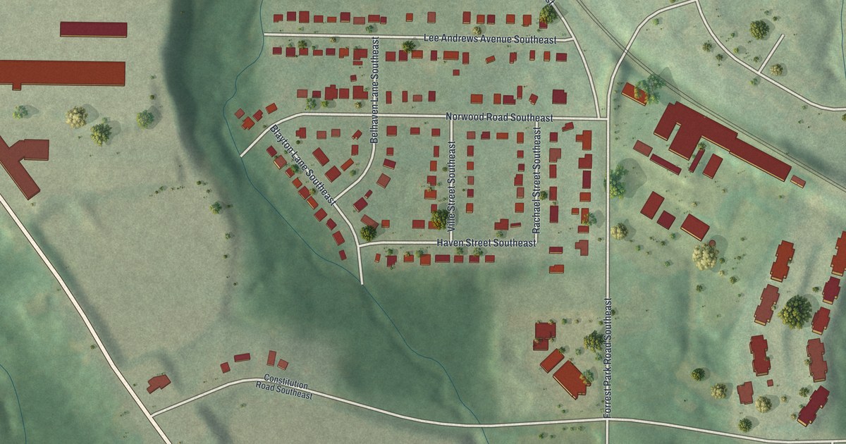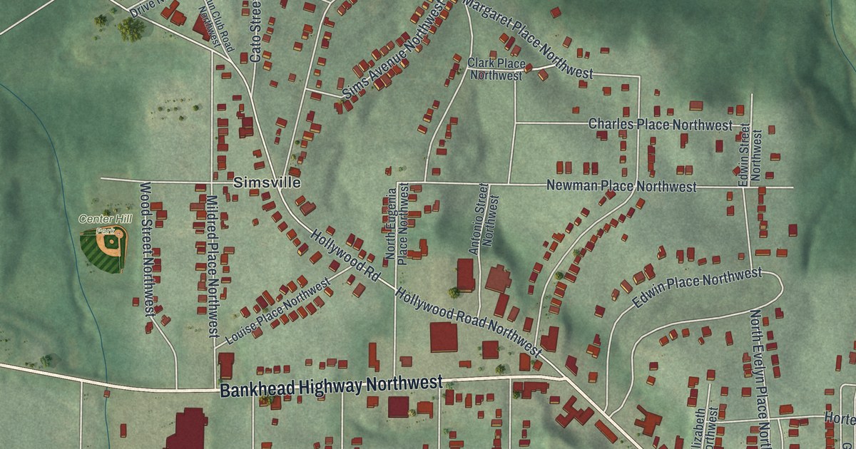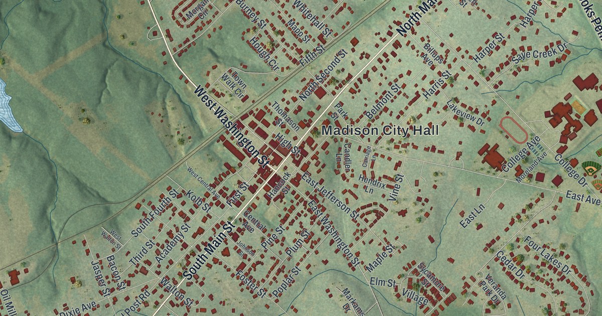
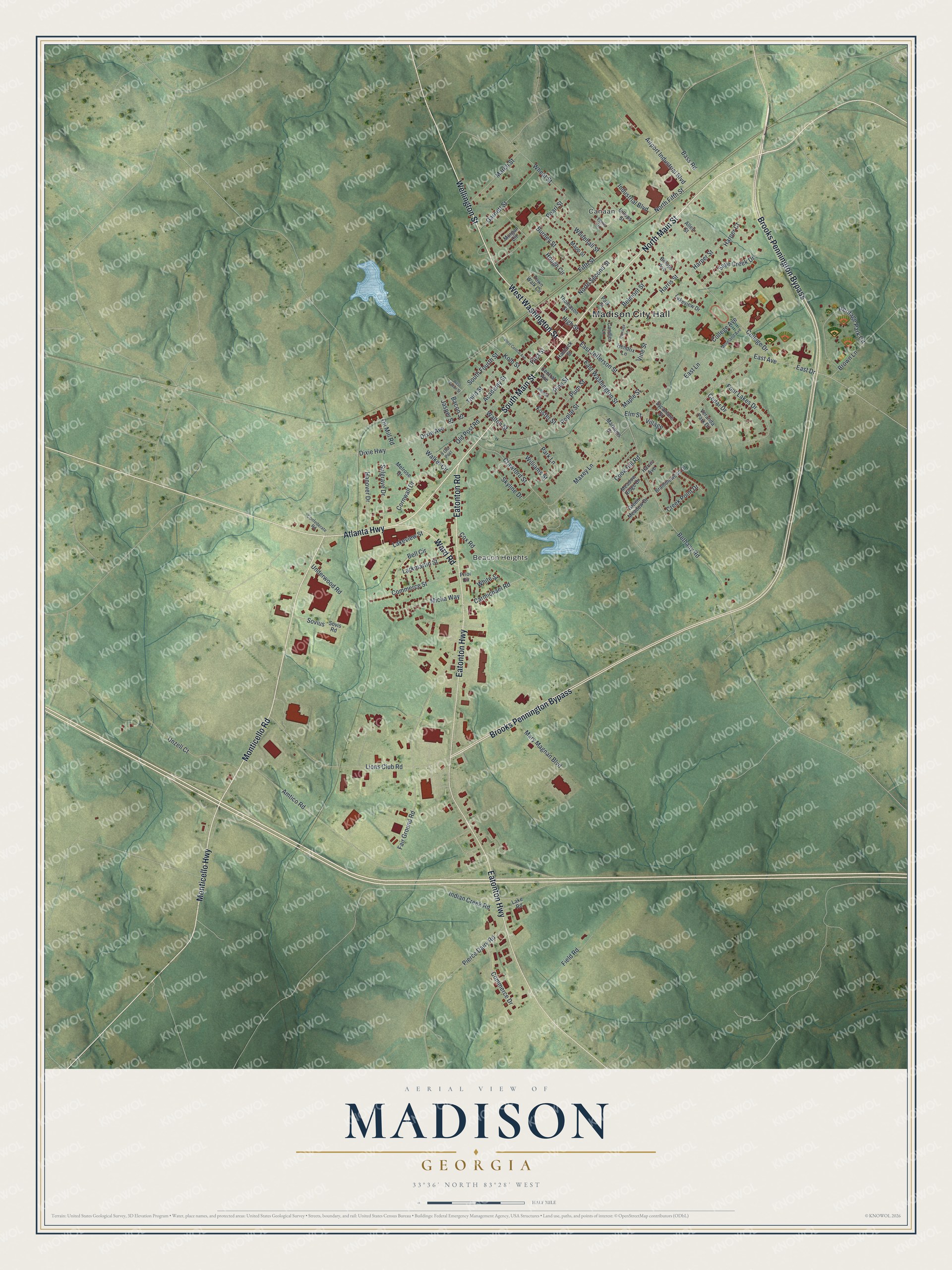
This beautifully detailed map of Madison, Georgia was created in 2026 using aerial imagery combined with modern topographical, census, street and landmark data. It’s a one-of-a-kind view of Madison that combines accurate data with a vintage aesthetic. The map shows every building in its true location, many of the roads carry their names, and the shaded topographic relief shows the shape of the land.
Explore an aerial view of Madison, Georgia
On the map you’ll find Madison City Hall, Canaan, Beacon Heights, and Hill Park, along with Main Street, Atlanta Highway, Wellington Street, Washington Street, and more. If you look closely you can even find your house accurately drawn in its correct location. Zoom in on the preview to look for yours.
Did You Know?
Madison, the seat of Morgan County, was incorporated in 1809. The town was named for President James Madison. In 1940, the tall white columns and broad doorways of its old houses still recalled the years before the Civil War. That’s from the 1940 WPA guide to Georgia.
Take a closer look at the Madison map
Names on this map
These names are printed on this map.
Places: Madison City Hall, Canaan, Beacon Heights and Hill Park.
Streets and roads: South Main Street, North Main Street, Atlanta Highway, Wellington Street, West Washington Street, Eatonton Road, Monticello Highway, Monticello Road, Brooks Pennington Bypass, Eatonton Highway, Ward Road, East Washington Street.
More street names, A to Z
9 Old Post, Academy Street, Airport Industrial Boulevard, Allen Street, Amtico Road, Bacon Street, Bass Road, Bell Circle, Belmont Street, Bethany Road, Billups Avenue, Billups Street, Bramblewood Drive, Brown Lane, Burney Street, Candler Lane, Carmichael Road, Carriage Lane, Cedar Drive, Central Avenue, College Avenue, College Drive, Commerce Drive, Commerce Street, Confederate Road, Cook Hill Road, Cornwall Drive, Cox Road, Crawford Street, Creek Point Drive, Dixie Avenue, Dixie Highway, East Avenue, East Drive, East Jefferson Street, East Lane, Elm Street, Fair Ground Road, Field Road, Fifth Street, First Street, Foster Street, Four Lakes Drive, Garnett Street, Green Meadow Drive, Hancock Street, Hanover Drive, Harper Court, Harper Street, Harris Avenue, Harris Street, Hendrix Lane, Heritage Park Circle, High Street, Hough Circle, Indian Creek Road, Industrial Boulevard, Jasper Street, Johnson Street, Kolb Street, Lake Road, Lakeview Drive, Lakeview Street, Larkmartin Street, Lions Club Road, Maple Street, Mapp Street, March Street, Markams Drive, Mary Magnan Boulevard, Maxey Lane, Meadow Ridge Drive, Melrose Drive, Micha Way, Moreland Avenue, Morgan Circle, North Fifth Street, North Second Street, Oil Mill Road, Old Post Road, Park Lane, Park Street, Pearl Street, Pierce Dairy Road, Pine Street, Plum Street, Poplar Street, Prior Circle, Saye Creek Drive, Skyline Drive, South Fourth Street, Sovis Road, Sovius, Sulgrave Drive, Sycamore Street, Terris Drive, Third Street, Thomason Street, Town Walk Circle, Underwood Road, Unzell Court, Veranda Park Drive, Village, Vine Street, Walker Circle, Walton Street, West Central Avenue, West Walton Street, Wheat Street, Whitehall Street, White Street, Williams Street.
See it on a wall
The Madison map as a framed print. Swipe for more.


This beautifully detailed map of Madison makes an attractive addition to your office, library, or den, and it can even be used to teach children the geography and history of the area. It also makes a great gift for anyone who grew up in Madison or moved away. When you’re done exploring, click here to get your copy of the Madison map.