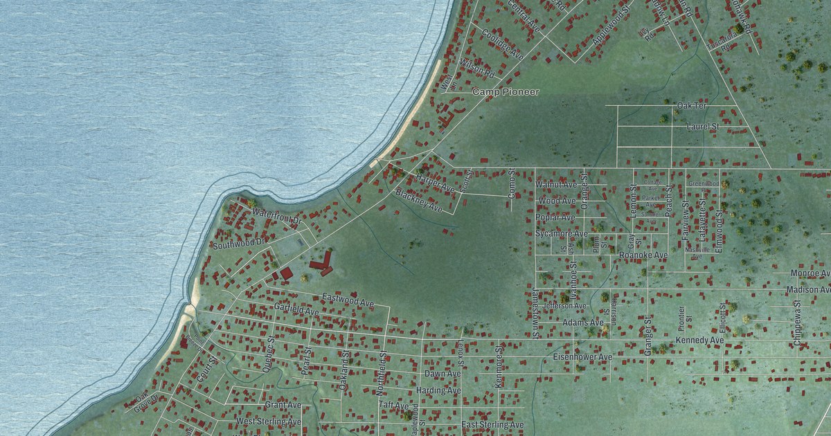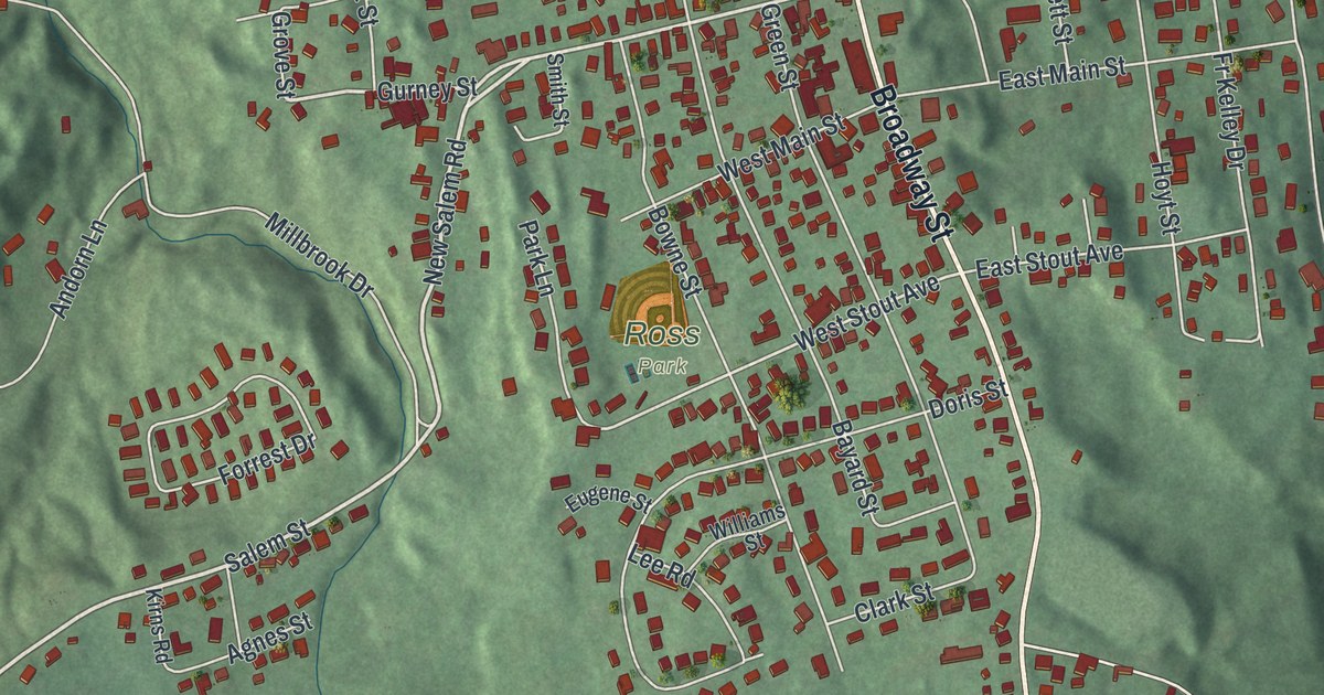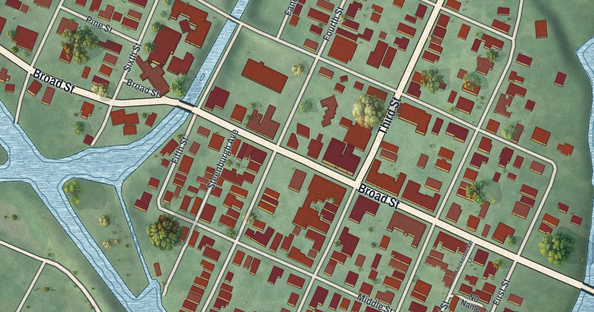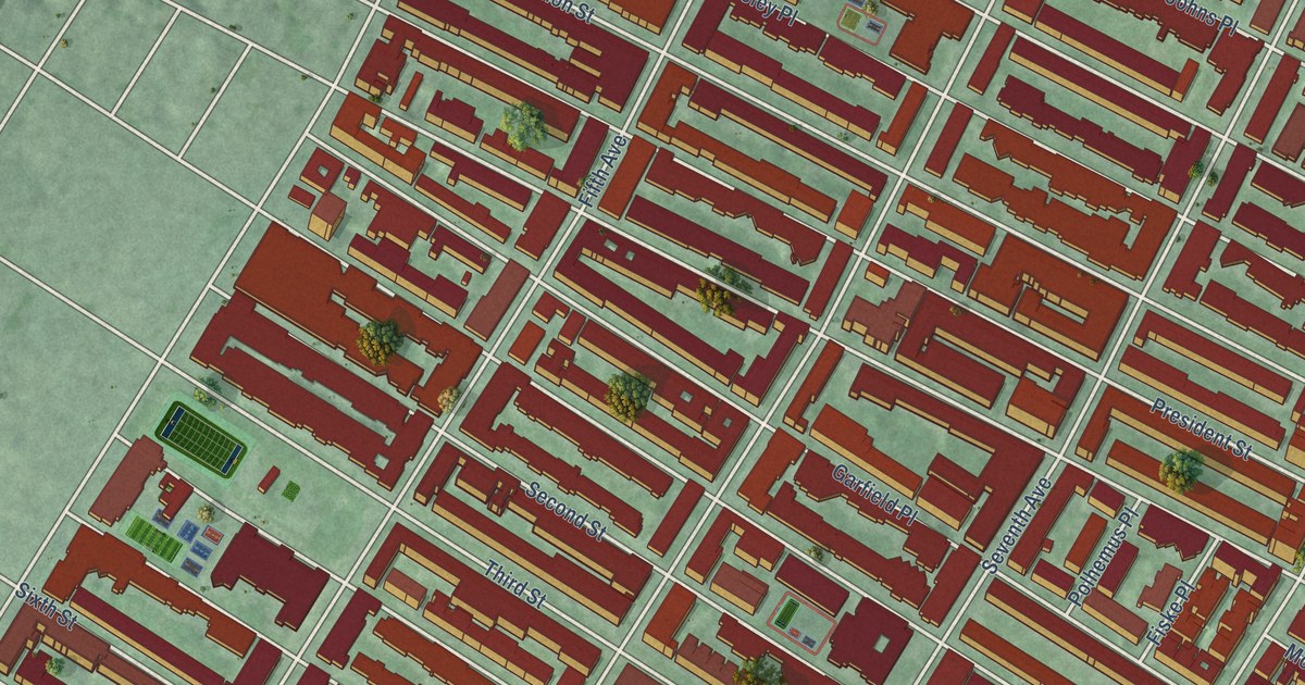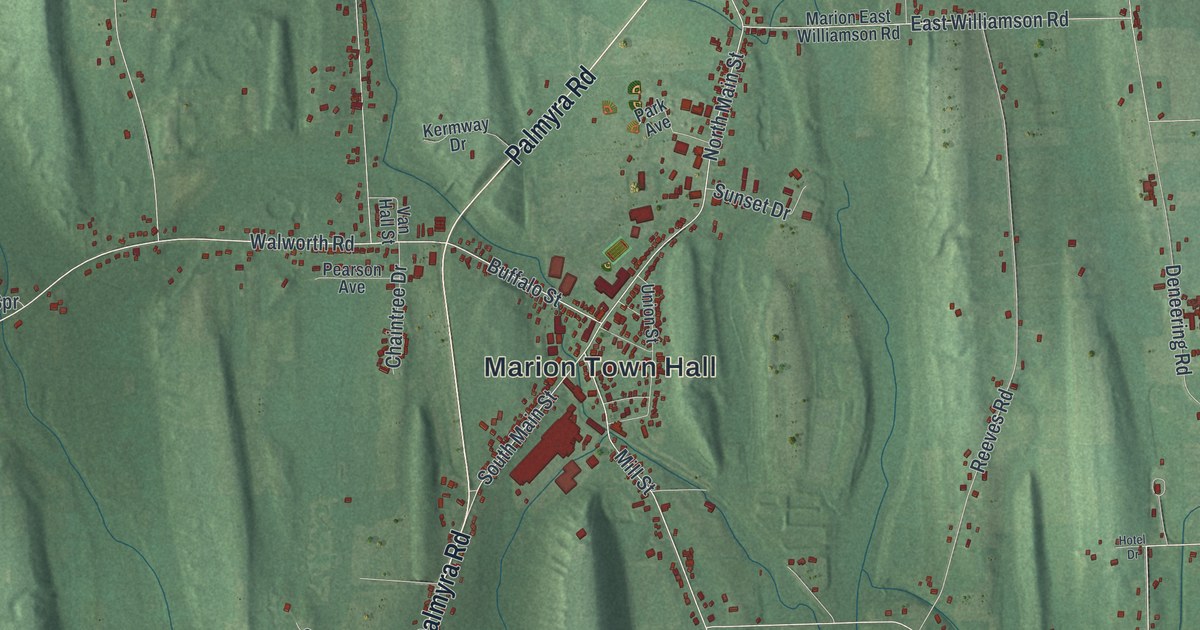
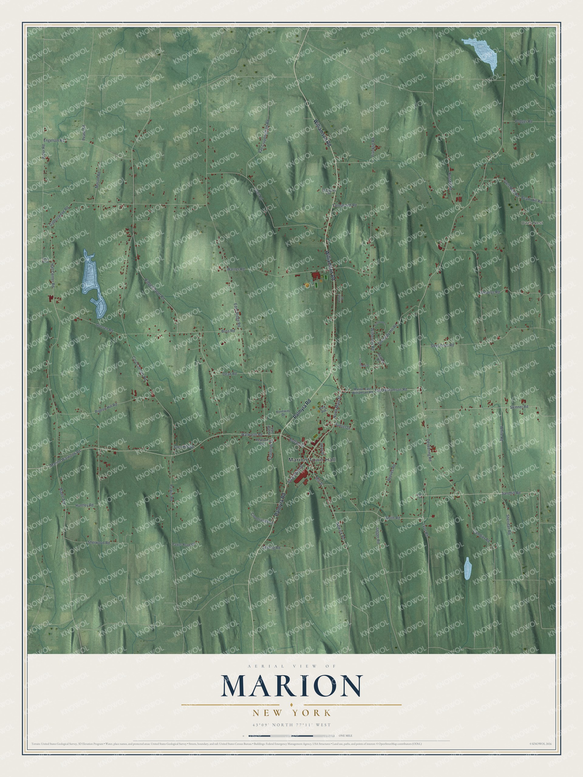
This beautifully detailed map of Marion, New York was created in 2026 using aerial imagery combined with modern topographical, census, street and landmark data. It’s a one-of-a-kind view of Marion that combines accurate data with a vintage aesthetic. The map shows every building in its true location, many of the roads carry their names, and the shaded topographic relief shows the shape of the land.
Explore an aerial view of Marion, New York
On the map you’ll find Marion Town Hall and Owls Nest, along with Williamson Road, Palmyra Road, Walworth Road, Main Street, and more. If you look closely you can even find your house accurately drawn in its correct location. Zoom in on the preview to look for yours.
Did You Know?
Marion was first settled around 1795, on land from the Phelps and Gorham Purchase. It split from Williamson in 1825 as the Town of Winchester. A year later it took the name Marion, after Francis Marion, a South Carolina brigadier general in the Revolution.
Take a closer look at the Marion map
Names on this map
These names are printed on this map.
Places: Marion Town Hall and Owls Nest.
Streets and roads: Williamson Road, Palmyra Road, Walworth Road, North Main Street, Buffalo Street, South Main Street, Mill Street, Marion Walworth Road, Newark Road, East Williamson Road, Smith Road, Reeves Road.
More street names, A to Z
Arbor Road, Ball Road, Beam Hill Road, Birchwood Lane, Boss Road, Cambier Road, Chaintree Drive, Cory Corners Road, Cory Hill Spr, Countryside Lane, Daniel Drive, Dean Road, Deneering Road, Dormedy Hill Road, Eddy Ridge Road, Electronics Road, Engelson Road, Farnsworth Road, Franklin Road, Gildersleeve Road, Goosen Road, Greenfield Drive, Hall Center Road, Heather Drive, Hotel Drive, Huntley Road, Jagger Road, Kermway Drive, Lyon Road, Maple Avenue, Marion East Williamson Road, Mason Road, Owls Nest Road, Park Avenue, Parker Road, Parker Road Spr, Pearson Avenue, Pease Road, Pigeon Hill Road, Podger Road, Ridge Chapel Road, Russell Road, Sandhill Road, Sheridan Road, Sherwood Road, Shilling Road, Skinner Road, Smith Hill Road, Steel Point Road, Steurrys Road, Sunset Drive, Union Street, Van Cruyningham Road, Van Hall Street, Warner Road, White Road, Witherden Road.
See it on a wall
The Marion map as a framed print. Swipe for more.


This beautifully detailed map of Marion makes an attractive addition to your office, library, or den, and it can even be used to teach children the geography and history of the area. It also makes a great gift for anyone who grew up in Marion or moved away. When you’re done exploring, click here to get your copy of the Marion map.