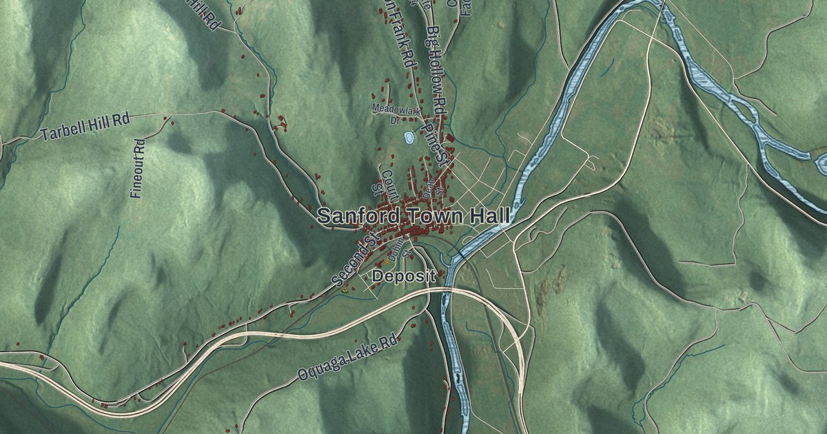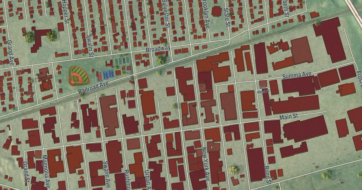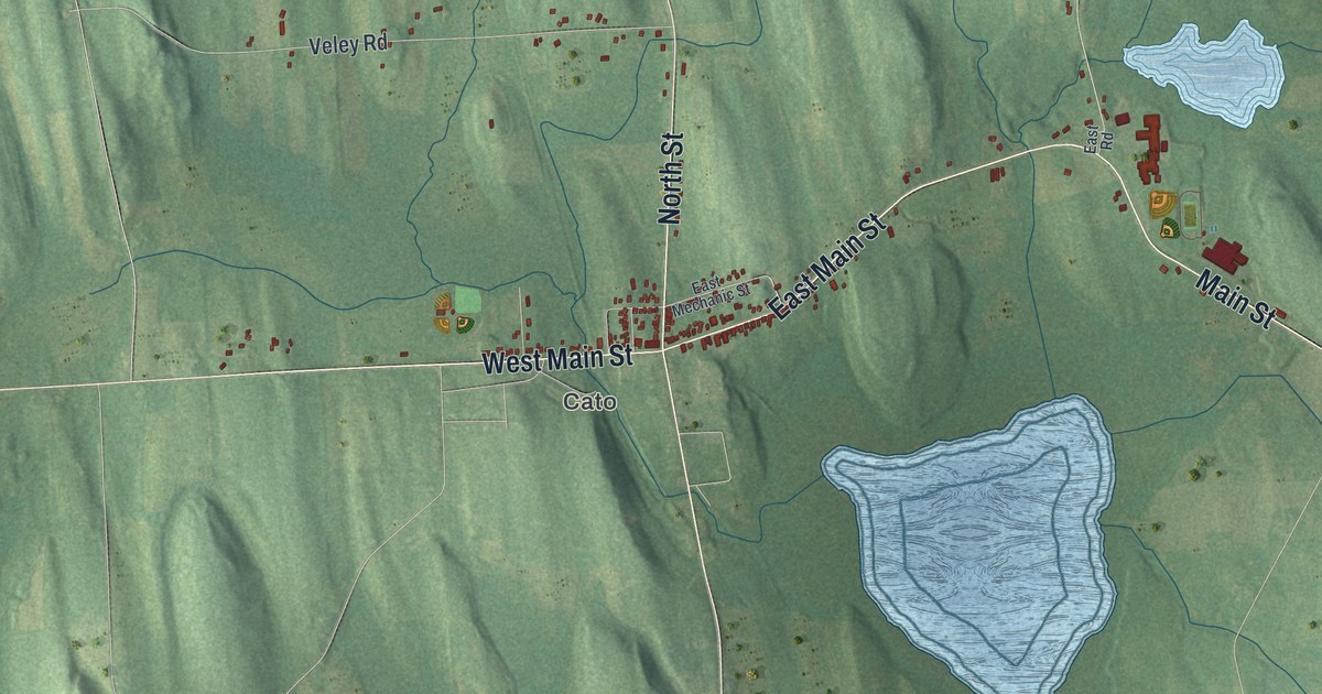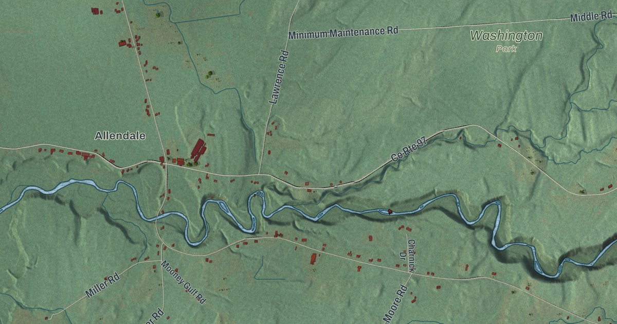
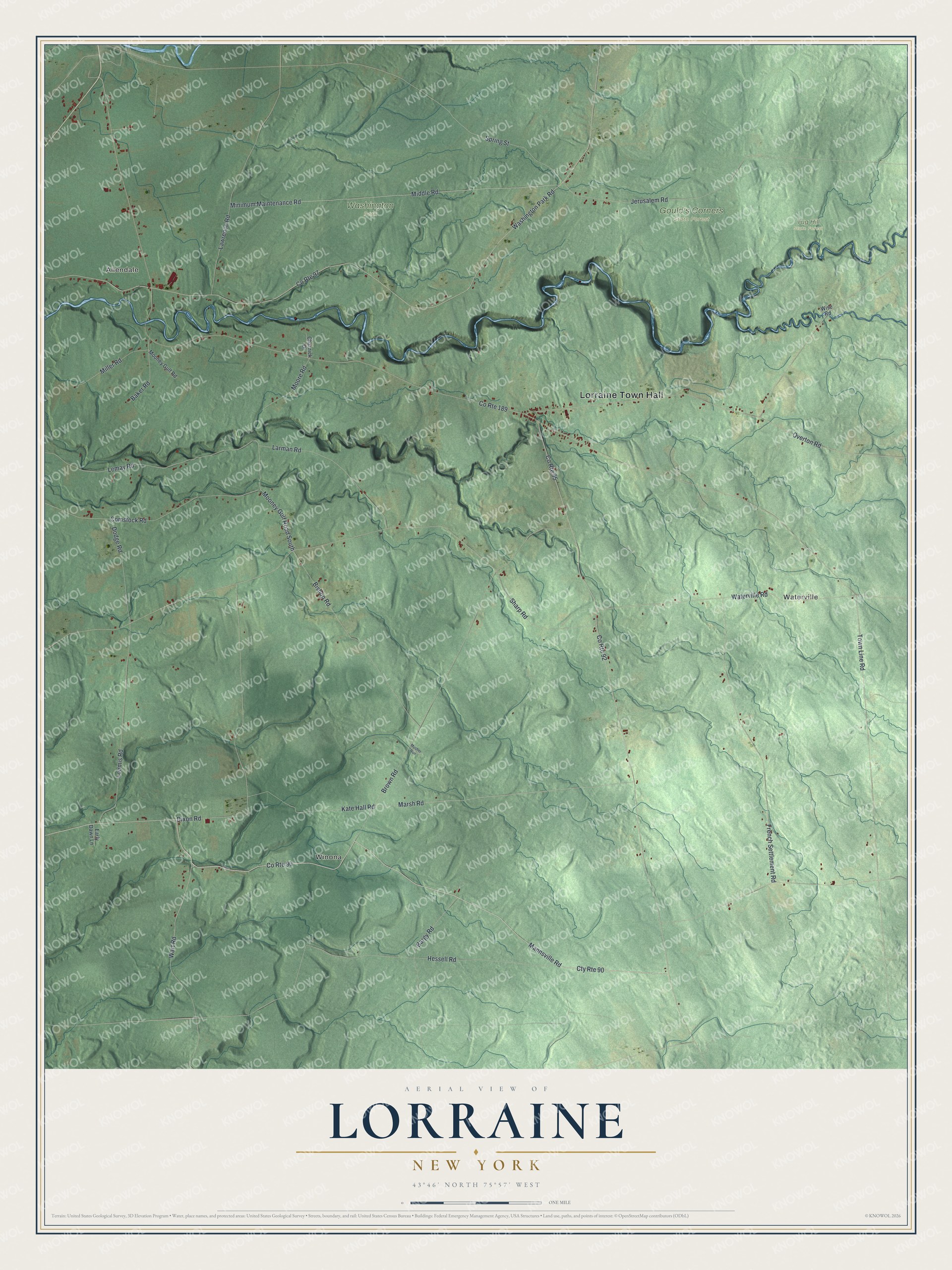
This beautifully detailed map of Lorraine, New York was created in 2026 using aerial imagery combined with modern topographical, census, street and landmark data. It’s a one-of-a-kind view of Lorraine that combines accurate data with a vintage aesthetic. The map shows every building in its true location, many of the roads carry their names, and the shaded topographic relief shows the shape of the land.
Explore an aerial view of Lorraine, New York
On the map you’ll find Lorraine Town Hall, Allendale, Waterville, Winona, Gould’s Corners State Forest, Tug Hill State Forest, and Washington Park, along with Mannsville Road, Wart Road, Marsh Road, Town Line Road, and more. If you look closely you can even find your house accurately drawn in its correct location. Zoom in on the preview to look for yours.
Did You Know?
Settlers came around 1802, and the town was carved from Mexico in 1804 under the name Malta. Another Malta already stood in Saratoga County. To end the mix-up, the town became Lorraine in 1808, after the French region of that name.
Take a closer look at the Lorraine map
Names on this map
These names are printed on this map.
Places: Lorraine Town Hall, Allendale, Waterville, Winona, Gould's Corners State Forest, Tug Hill State Forest and Washington Park.
Streets and roads: Cty Route 90, County Route 90, Mannsville Road, Wart Road, Marsh Road, County Route 92, Town Line Road, Mooney Gulf Road South, County Route 189, County Route 97, Washington Park Road, County Route 95.
More street names, A to Z
Baker Road, Bargy Road, Bishop Road, Brown Road, Charnick Drive, Comstock Road, Dixon Road, Dodge Road, Early Dawn Lane, French Settlement Road, Hessell Road, Jerusalem Road, Kate Hall Road, Larman Road, Lawrence Road, Lemay Road, Loomis Road, Middle Road, Miller Road, Minimum Maintenance Road, Mooney Gulf Road, Moore Road, Musher Run, Overton Road, Sharp Road, Spring Street, Waterville Road, Wise Road.
See it on a wall
The Lorraine map as a framed print. Swipe for more.


This beautifully detailed map of Lorraine makes an attractive addition to your office, library, or den, and it can even be used to teach children the geography and history of the area. It also makes a great gift for anyone with Lorraine roots. When you’re done exploring, click here to get your copy of the Lorraine map.