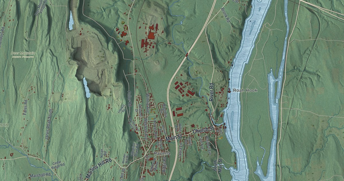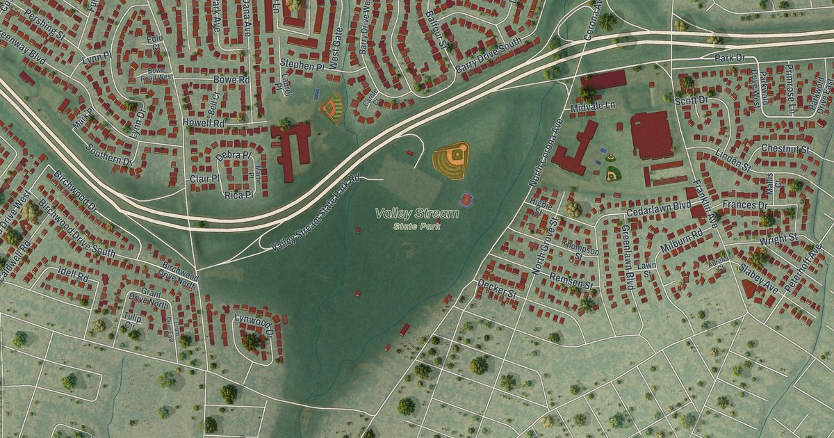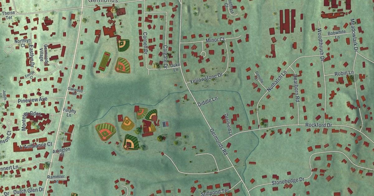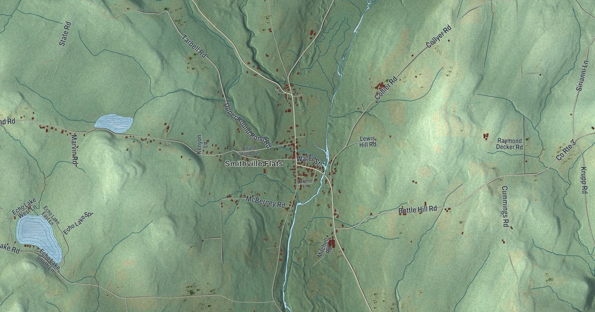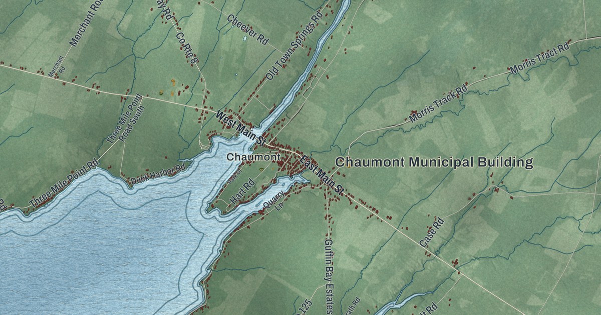
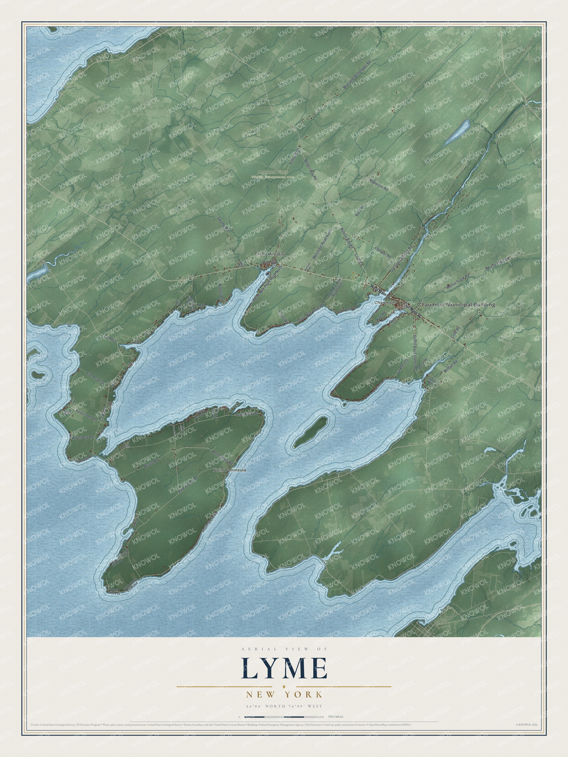
This beautifully detailed map of Lyme, New York was created in 2026 using aerial imagery combined with modern topographical, census, street and landmark data. It’s a one-of-a-kind view of Lyme that combines accurate data with a vintage aesthetic. The map shows every building in its true location, many of the roads carry their names, and the shaded topographic relief shows the shape of the land.
Explore an aerial view of Lyme, New York
On the map you’ll find Chaumont Municipal Building, Chaumont, Point Peninsula, Three Mile Bay, and Ashland Flats Wildlife Management Area, along with Main Street, Shore Road, Millers Bay Road, Millens Bay Road, and more. If you look closely you can even find your house accurately drawn in its correct location. Zoom in on the preview to look for yours.
Did You Know?
Two Lyme men, Ira Polley and Chauncey Bugby, fought for Canadian independence in the Patriot War of 1837. They were captured and sentenced to exile in Van Diemen’s Land, now Tasmania. Both were later released, but they chose to stay in Australia and raise families there.
Take a closer look at the Lyme map
Names on this map
These names are printed on this map.
Places: Chaumont Municipal Building, Ashland Flats Wildlife Management Area, Chaumont, Point Peninsula and Three Mile Bay.
Streets and roads: South Shore Road, State Park Road, County Route 57, Millers Bay Road, North Shore Road, Millens Bay Road, Three Mile Point Road North, Three Mile Point Road, Old Town Springs Road, Morris Track Road, Morris Tract Road, Macomb Settlement Road.
More street names, A to Z
Ashland Road, Beach Road, Bourcy Road, Case Road, Cheever Road, Church Street, County Route 6, County Route 8, County Route 125, Cross Road, Delgado Farm Lane, Duck Harbor Road, East Main Street, Empie Road, Failing Shores Lane, Fire Road, Fire Road 7, Fire Road 8, Fire Road 9, Fire Road 22, Fire Road 39, Flanders Road, Fr 19, Fr 23, Fr 26, Fr 35, Guffin Bay Estates Road, Hardscrabble Road, Hart Road, Hayes Bay Road, Hayes Farm Lane, Hidden Harbor Road, Julian Way, Klock Road, Logans Road, Luff Shores Lane, Merchant Road, Merchant Road North, Mill Street, Moffatt Road, Montonna Shores Road, Park Drive, Pine Woods Road, Pr Drive, Quarry Lane, Robinson Road, Root Road, Selter Road, South Shore Drive, South Shore Extended, Swamp Road, Three Mile Point Road South, Walrath Road, West Main Street.
See it on a wall
The Lyme map as a framed print. Swipe for more.


This beautifully detailed map of Lyme makes an attractive addition to your office, library, or den, and it can even be used to teach children the geography and history of the area. It also makes a great gift for someone who left Lyme and still calls it home. When you’re done exploring, click here to get your copy of the Lyme map.